Hiseville is an unincorporated community and census-designated place (CDP) in Barren County, Kentucky, United States. The population was 240 at the 2010 census. It is part of the Glasgow Micropolitan Statistical Area. Hiseville was a city until it disincorporated in 2004.
| Name: | Hiseville CDP |
|---|---|
| LSAD Code: | 57 |
| LSAD Description: | CDP (suffix) |
| State: | Kentucky |
| County: | Barren County |
| Elevation: | 702 ft (214 m) |
| Total Area: | 0.74 sq mi (1.92 km²) |
| Land Area: | 0.73 sq mi (1.89 km²) |
| Water Area: | 0.01 sq mi (0.03 km²) |
| Total Population: | 246 |
| Population Density: | 336.99/sq mi (130.15/km²) |
| ZIP code: | 42152 |
| Area code: | 270 & 364 |
| FIPS code: | 2137234 |
| GNISfeature ID: | 0494308 |
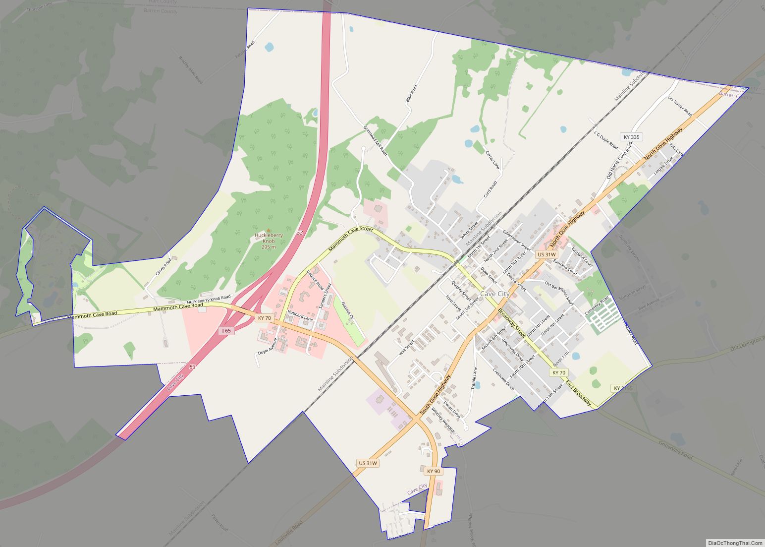
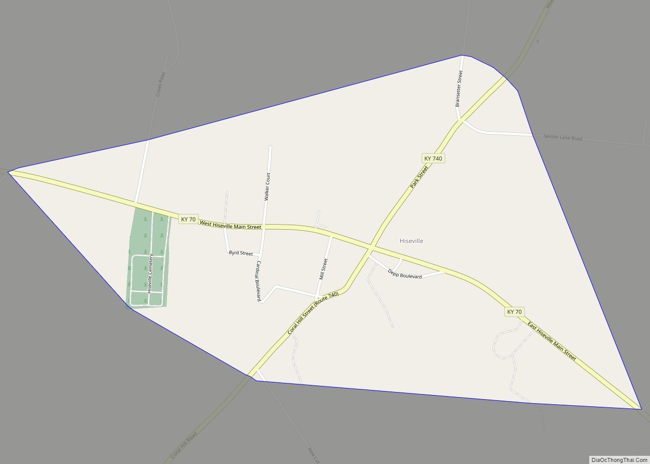
Online Interactive Map
Click on ![]() to view map in "full screen" mode.
to view map in "full screen" mode.
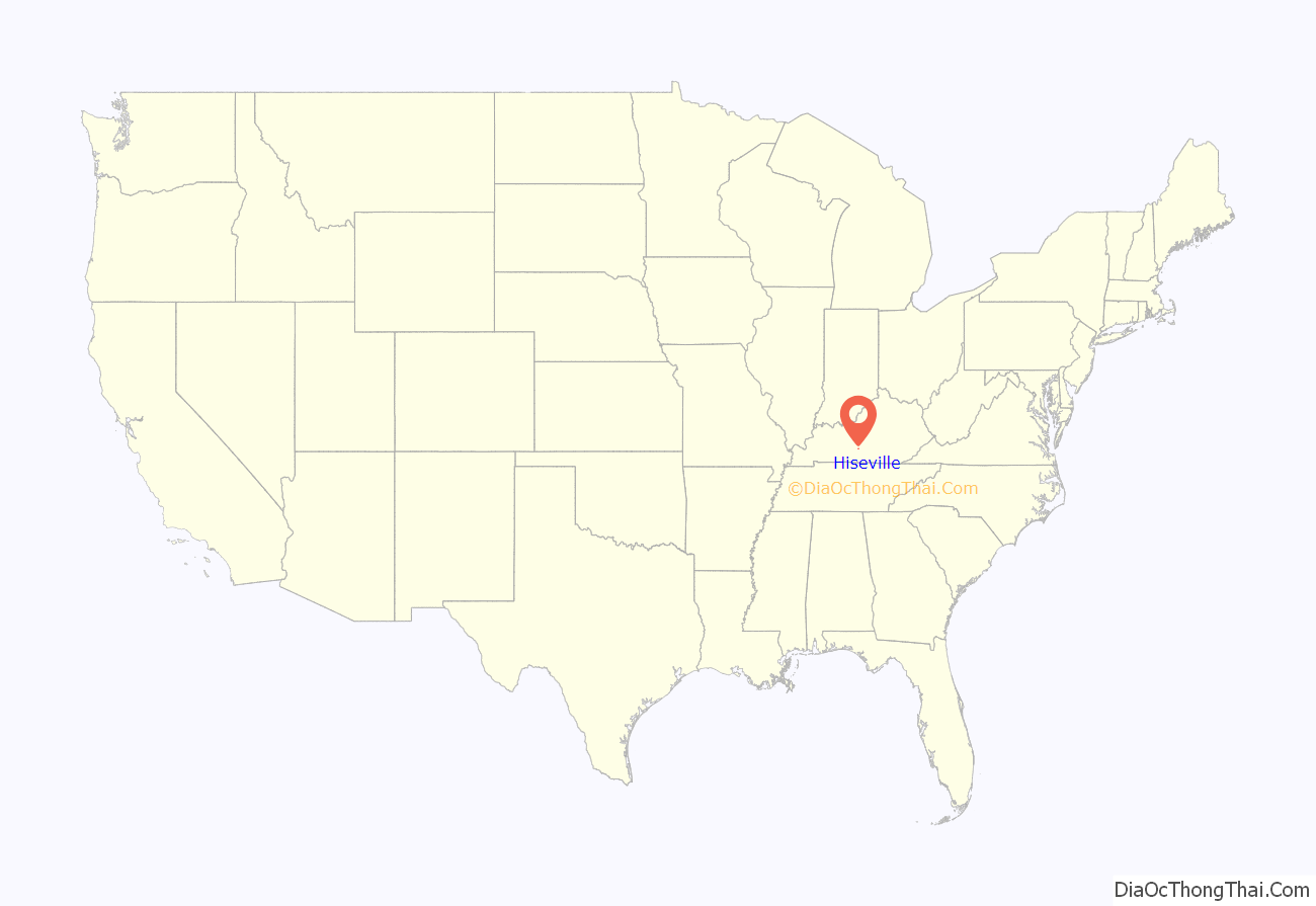
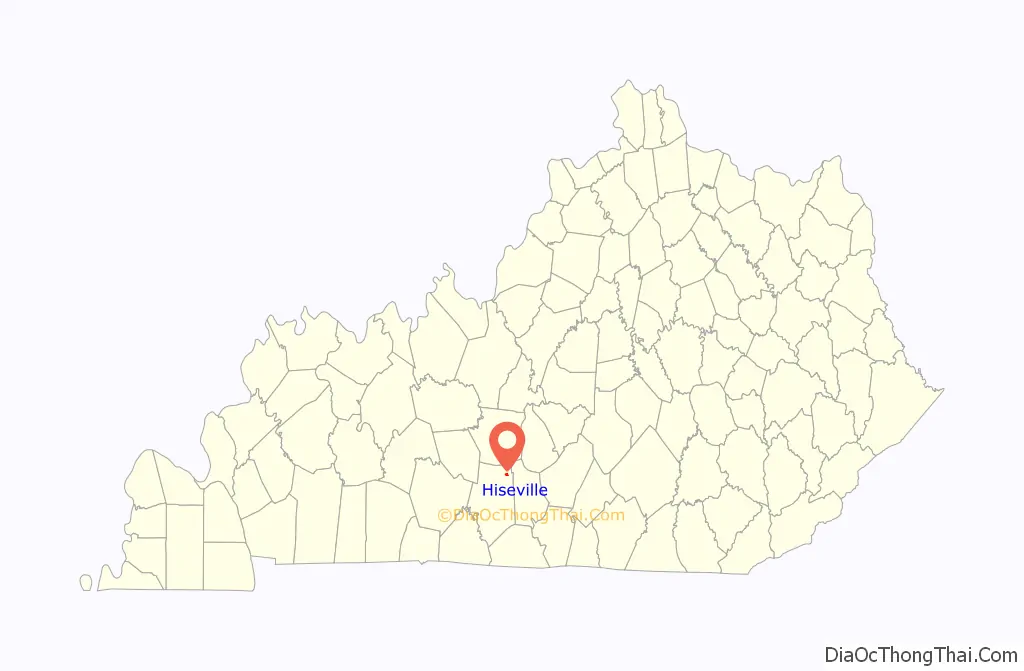
Hiseville location map. Where is Hiseville CDP?
History
A post office was established in the community in 1867, when it was named in honor of Congressman Elijah Hise. It was known previously as Goosehorn.
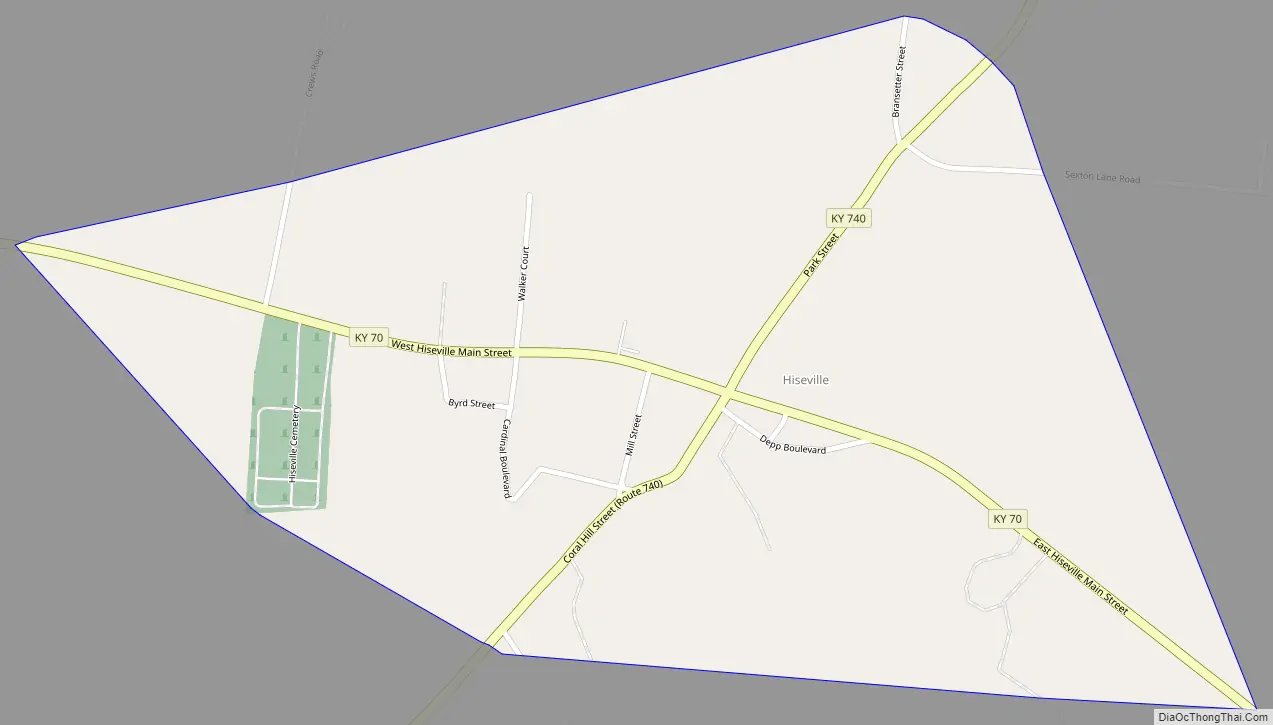
Hiseville Road Map
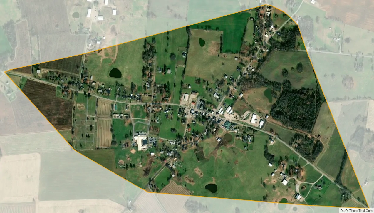
Hiseville city Satellite Map
Geography
Hiseville is located at 37°6′0″N 85°48′54″W / 37.10000°N 85.81500°W / 37.10000; -85.81500 (37.100131, -85.815107).
According to the United States Census Bureau, the city had a total area of 0.7 square miles (1.8 km), all of it land.
See also
Map of Kentucky State and its subdivision:- Adair
- Allen
- Anderson
- Ballard
- Barren
- Bath
- Bell
- Boone
- Bourbon
- Boyd
- Boyle
- Bracken
- Breathitt
- Breckinridge
- Bullitt
- Butler
- Caldwell
- Calloway
- Campbell
- Carlisle
- Carroll
- Carter
- Casey
- Christian
- Clark
- Clay
- Clinton
- Crittenden
- Cumberland
- Daviess
- Edmonson
- Elliott
- Estill
- Fayette
- Fleming
- Floyd
- Franklin
- Fulton
- Gallatin
- Garrard
- Grant
- Graves
- Grayson
- Green
- Greenup
- Hancock
- Hardin
- Harlan
- Harrison
- Hart
- Henderson
- Henry
- Hickman
- Hopkins
- Jackson
- Jefferson
- Jessamine
- Johnson
- Kenton
- Knott
- Knox
- Larue
- Laurel
- Lawrence
- Lee
- Leslie
- Letcher
- Lewis
- Lincoln
- Livingston
- Logan
- Lyon
- Madison
- Magoffin
- Marion
- Marshall
- Martin
- Mason
- McCracken
- McCreary
- McLean
- Meade
- Menifee
- Mercer
- Metcalfe
- Monroe
- Montgomery
- Morgan
- Muhlenberg
- Nelson
- Nicholas
- Ohio
- Oldham
- Owen
- Owsley
- Pendleton
- Perry
- Pike
- Powell
- Pulaski
- Robertson
- Rockcastle
- Rowan
- Russell
- Scott
- Shelby
- Simpson
- Spencer
- Taylor
- Todd
- Trigg
- Trimble
- Union
- Warren
- Washington
- Wayne
- Webster
- Whitley
- Wolfe
- Woodford
- Alabama
- Alaska
- Arizona
- Arkansas
- California
- Colorado
- Connecticut
- Delaware
- District of Columbia
- Florida
- Georgia
- Hawaii
- Idaho
- Illinois
- Indiana
- Iowa
- Kansas
- Kentucky
- Louisiana
- Maine
- Maryland
- Massachusetts
- Michigan
- Minnesota
- Mississippi
- Missouri
- Montana
- Nebraska
- Nevada
- New Hampshire
- New Jersey
- New Mexico
- New York
- North Carolina
- North Dakota
- Ohio
- Oklahoma
- Oregon
- Pennsylvania
- Rhode Island
- South Carolina
- South Dakota
- Tennessee
- Texas
- Utah
- Vermont
- Virginia
- Washington
- West Virginia
- Wisconsin
- Wyoming