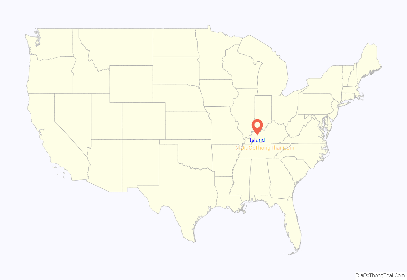
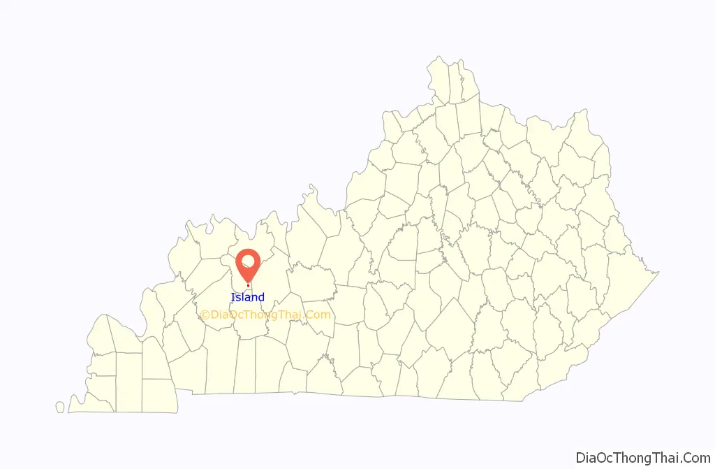
Island is a home rule-class city in McLean County, Kentucky, in the United States. The population was 429 at the 2020 census. It is included in the Owensboro metropolitan area.
| Name: | Island city |
|---|---|
| LSAD Code: | 25 |
| LSAD Description: | city (suffix) |
| State: | Kentucky |
| County: | McLean County |
| Incorporated: | Before 1908 |
| Elevation: | 449 ft (137 m) |
| Total Area: | 0.34 sq mi (0.87 km²) |
| Land Area: | 0.34 sq mi (0.87 km²) |
| Water Area: | 0.00 sq mi (0.00 km²) |
| Total Population: | 429 |
| Population Density: | 1,273.00/sq mi (492.19/km²) |
| ZIP code: | 42350 |
| Area code: | 270 |
| FIPS code: | 2139700 |
| GNISfeature ID: | 0495040 |
Online Interactive Map
Click on ![]() to view map in "full screen" mode.
to view map in "full screen" mode.
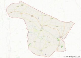
Island location map. Where is Island city?
History
The city is named for Judge William Worthington’s early 19th-century 8-square-mile (21 km) estate, known as “The Island” from the way high water on the Green and other nearby rivers would maroon it from adjacent land. Between 1829 and 1860, the local post office operated as “Worthington”. The Owensboro and Nashville Railroad connected the area in 1872; the station and new post office were known as “Island Station”. Both were shortened to “Island” in 1882.
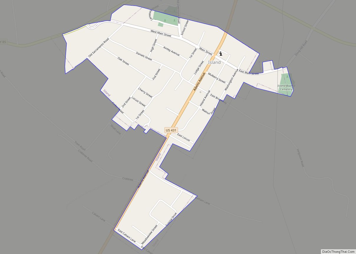
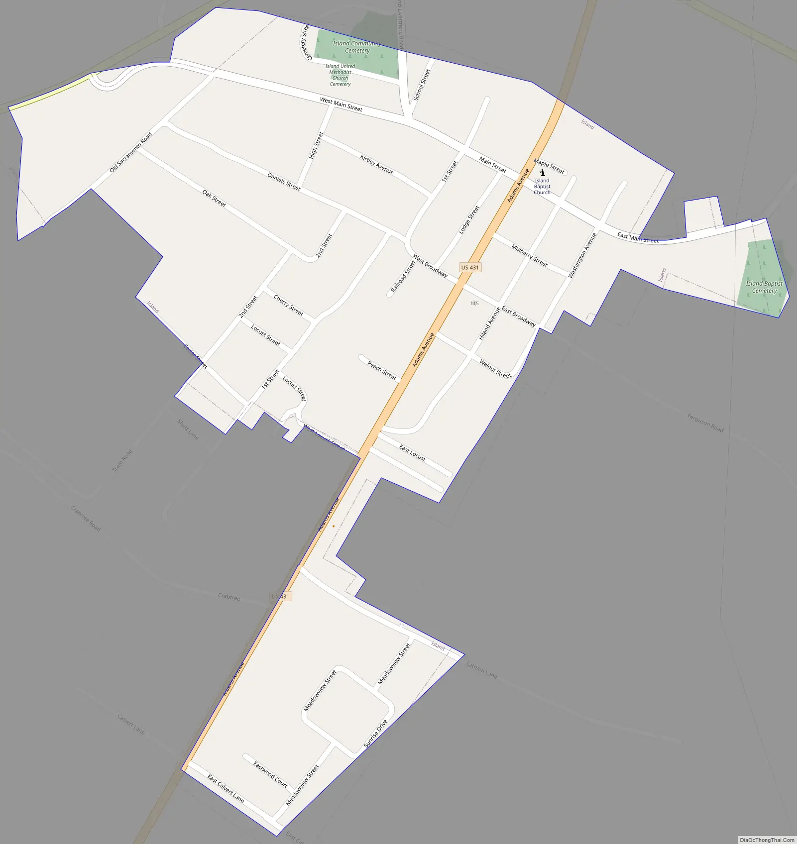
Island Road Map
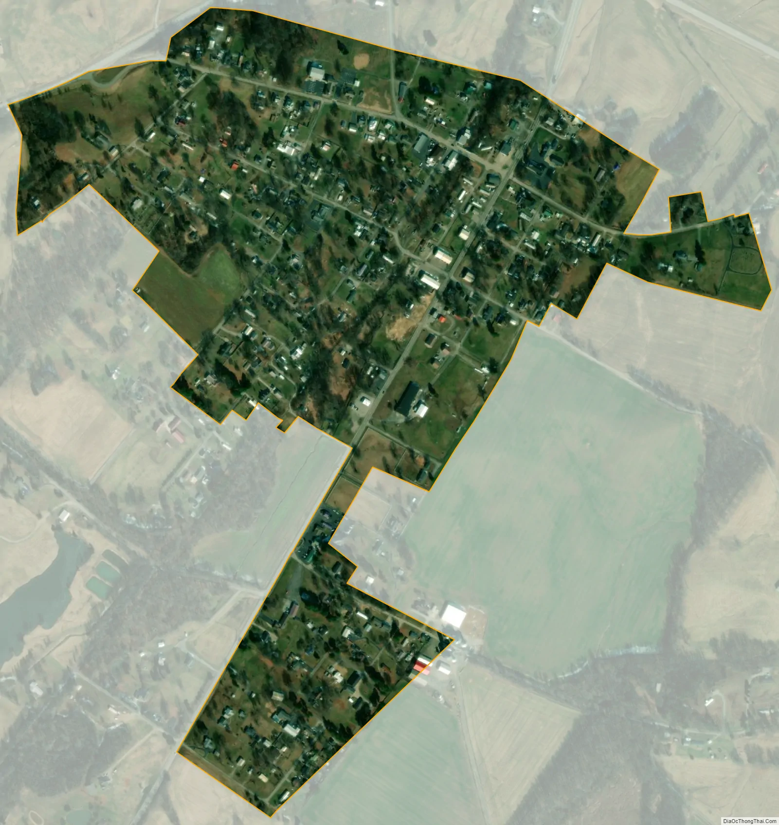
Island city Satellite Map
Geography
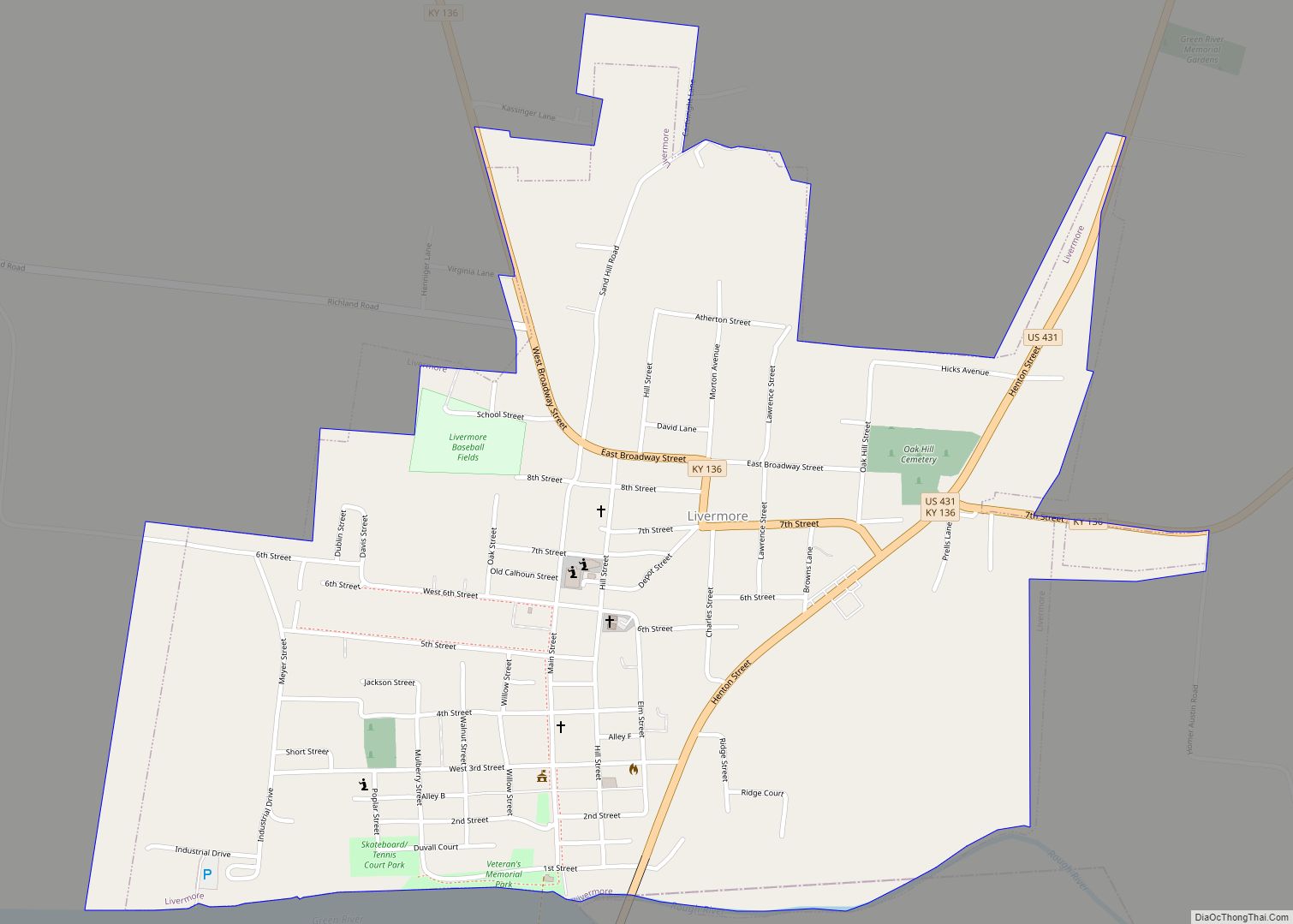
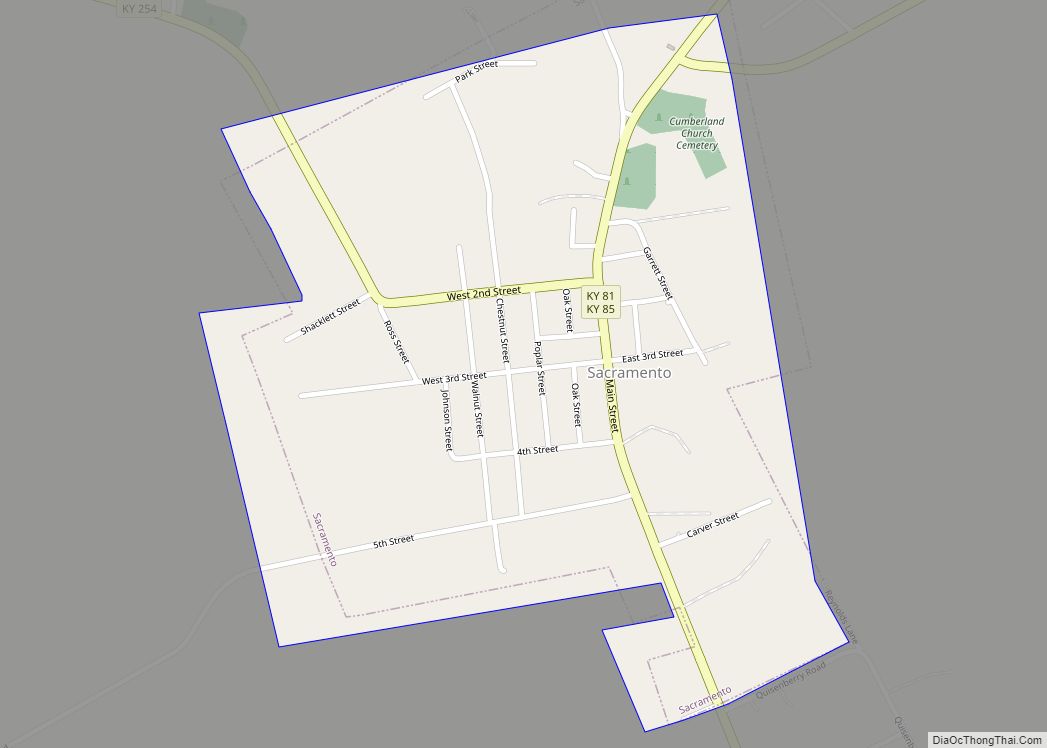
Island is located at 37°26′33″N 87°8′48″W / 37.44250°N 87.14667°W / 37.44250; -87.14667 (37.442444, -87.146633). It is in the southeastern portion of McLean County along U.S. Route 431 at its junction with Kentucky Route 85. Also traversing the city is Kentucky Route 2110. US 431 leads north 3 miles (5 km) to Livermore and 23 miles (37 km) to Owensboro, while to the south it leads 11 miles (18 km) to Central City. KY 85 leads east 10 miles (16 km) to Centertown and west 7 miles (11 km) to Sacramento.
According to the United States Census Bureau, Island has a total area of 0.34 square miles (0.88 km), of which 0.001 square miles (0.003 km), or 0.30%, are water.
See also
Map of Kentucky State and its subdivision:- Adair
- Allen
- Anderson
- Ballard
- Barren
- Bath
- Bell
- Boone
- Bourbon
- Boyd
- Boyle
- Bracken
- Breathitt
- Breckinridge
- Bullitt
- Butler
- Caldwell
- Calloway
- Campbell
- Carlisle
- Carroll
- Carter
- Casey
- Christian
- Clark
- Clay
- Clinton
- Crittenden
- Cumberland
- Daviess
- Edmonson
- Elliott
- Estill
- Fayette
- Fleming
- Floyd
- Franklin
- Fulton
- Gallatin
- Garrard
- Grant
- Graves
- Grayson
- Green
- Greenup
- Hancock
- Hardin
- Harlan
- Harrison
- Hart
- Henderson
- Henry
- Hickman
- Hopkins
- Jackson
- Jefferson
- Jessamine
- Johnson
- Kenton
- Knott
- Knox
- Larue
- Laurel
- Lawrence
- Lee
- Leslie
- Letcher
- Lewis
- Lincoln
- Livingston
- Logan
- Lyon
- Madison
- Magoffin
- Marion
- Marshall
- Martin
- Mason
- McCracken
- McCreary
- McLean
- Meade
- Menifee
- Mercer
- Metcalfe
- Monroe
- Montgomery
- Morgan
- Muhlenberg
- Nelson
- Nicholas
- Ohio
- Oldham
- Owen
- Owsley
- Pendleton
- Perry
- Pike
- Powell
- Pulaski
- Robertson
- Rockcastle
- Rowan
- Russell
- Scott
- Shelby
- Simpson
- Spencer
- Taylor
- Todd
- Trigg
- Trimble
- Union
- Warren
- Washington
- Wayne
- Webster
- Whitley
- Wolfe
- Woodford
- Alabama
- Alaska
- Arizona
- Arkansas
- California
- Colorado
- Connecticut
- Delaware
- District of Columbia
- Florida
- Georgia
- Hawaii
- Idaho
- Illinois
- Indiana
- Iowa
- Kansas
- Kentucky
- Louisiana
- Maine
- Maryland
- Massachusetts
- Michigan
- Minnesota
- Mississippi
- Missouri
- Montana
- Nebraska
- Nevada
- New Hampshire
- New Jersey
- New Mexico
- New York
- North Carolina
- North Dakota
- Ohio
- Oklahoma
- Oregon
- Pennsylvania
- Rhode Island
- South Carolina
- South Dakota
- Tennessee
- Texas
- Utah
- Vermont
- Virginia
- Washington
- West Virginia
- Wisconsin
- Wyoming