Jeffersonville is a home rule-class city in Montgomery County, Kentucky, in the United States. The population was 1,708 as of the 2020 census, up from 1,506 in 2010. It is part of the Mount Sterling micropolitan area.
| Name: | Jeffersonville city |
|---|---|
| LSAD Code: | 25 |
| LSAD Description: | city (suffix) |
| State: | Kentucky |
| County: | Montgomery County |
| Incorporated: | March 20, 1876 |
| Elevation: | 817 ft (249 m) |
| Total Area: | 2.75 sq mi (7.13 km²) |
| Land Area: | 2.74 sq mi (7.10 km²) |
| Water Area: | 0.01 sq mi (0.03 km²) |
| Total Population: | 1,708 |
| Population Density: | 622.68/sq mi (240.41/km²) |
| ZIP code: | 40337 |
| Area code: | 859 |
| FIPS code: | 2140240 |
| GNISfeature ID: | 0512986 |
Online Interactive Map
Click on ![]() to view map in "full screen" mode.
to view map in "full screen" mode.
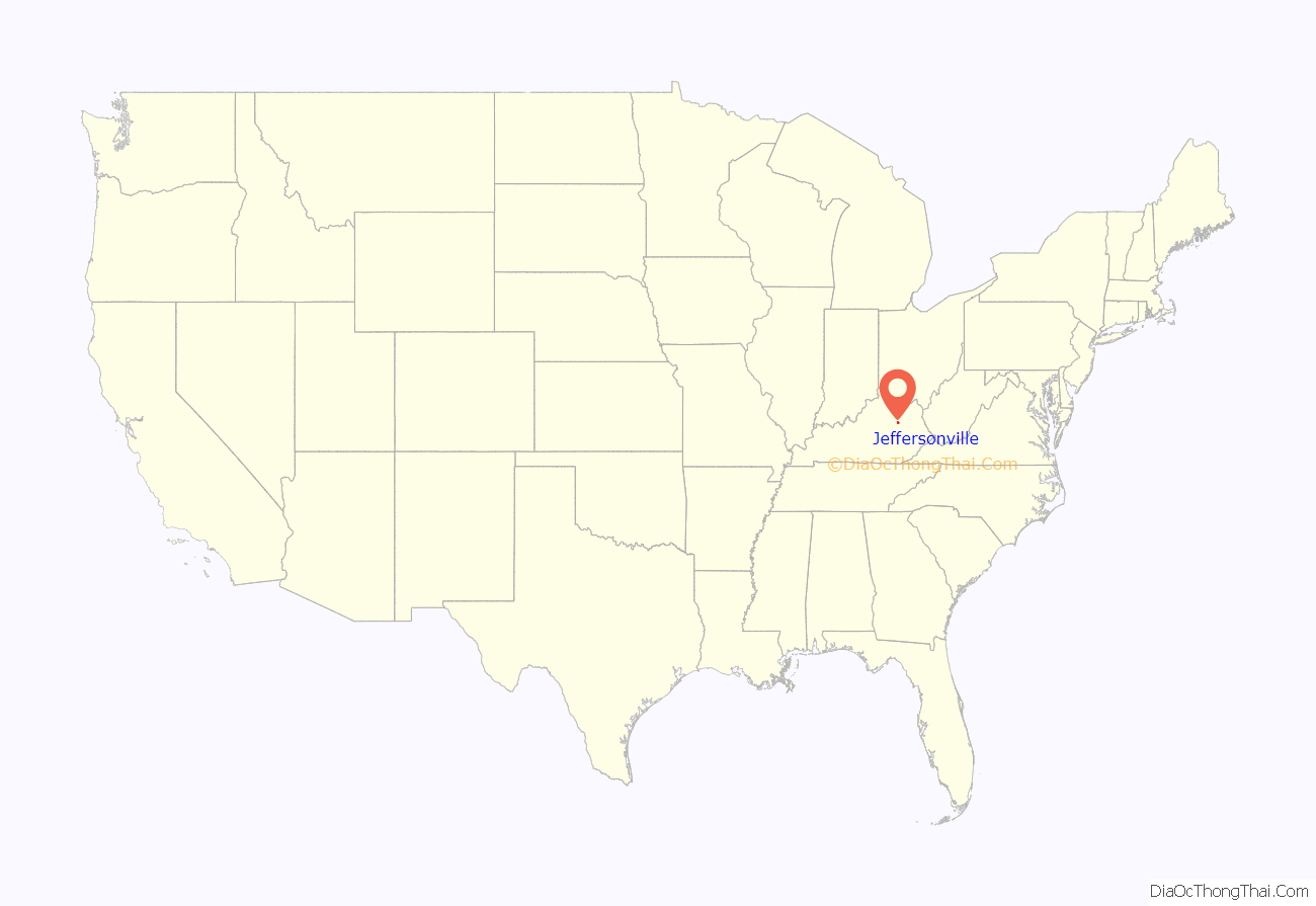
Jeffersonville location map. Where is Jeffersonville city?
History
Jeffersonville began as an important cattle-trading center in Eastern Kentucky during the mid-19th century. It was then known as “Ticktown”, either for the tickgrass (Eragrostis echinochloidea) in the area or for the ticks in the cattle pens. Although it is unknown when the settlement became known as Jeffersonville, the first post office was established under that name on March 9, 1866. It presumably honors President Thomas Jefferson.
Jeffersonville was incorporated on March 20, 1876.
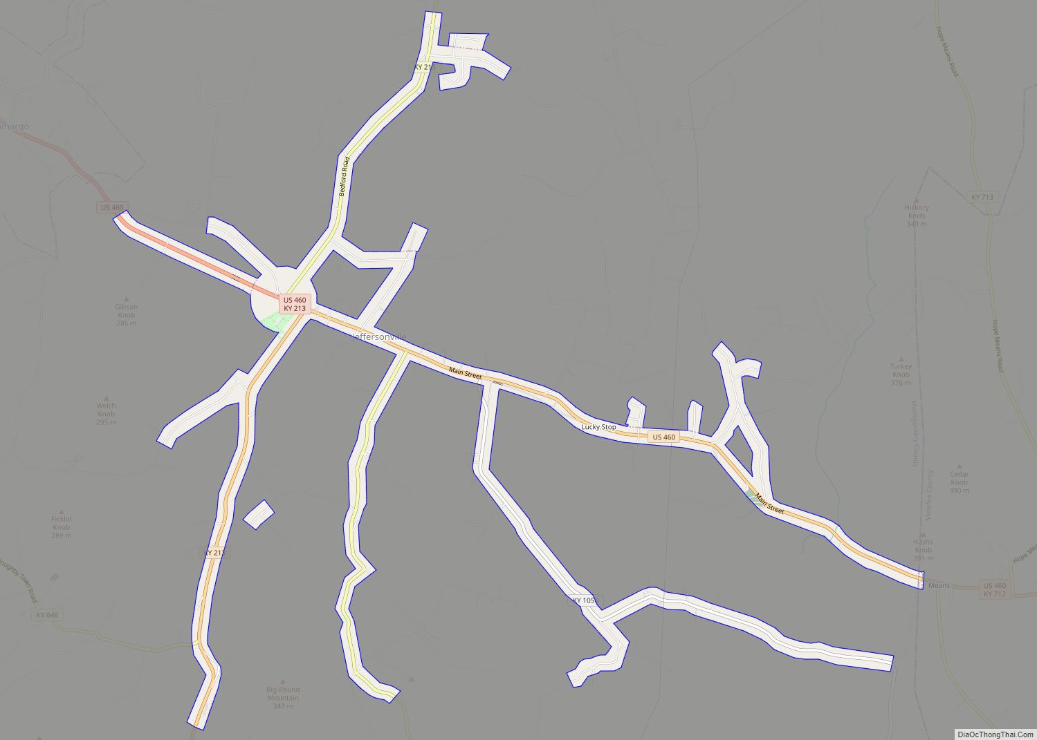
Jeffersonville Road Map
Jeffersonville city Satellite Map
Geography
Jeffersonville is located in southeastern Montgomery County at 37°58′9″N 83°49′28″W / 37.96917°N 83.82444°W / 37.96917; -83.82444 (37.969148, -83.824466). U.S. Route 460 follows the city’s Main Street and leads northwest 8 miles (13 km) to Mount Sterling, the county seat, and east 13 miles (21 km) to Frenchburg. Kentucky Route 213 leads south from Jeffersonville 9 miles (14 km) to Stanton and north 4 miles (6 km) to its terminus at Kentucky Route 713.
According to the United States Census Bureau, Jeffersonville has a total area of 2.75 square miles (7.12 km), of which 0.01 square miles (0.03 km), or 0.40%, are water. The city is drained to the north by tributaries of Slate Creek, which continues north to the Licking River, a tributary of the Ohio River.
See also
Map of Kentucky State and its subdivision:- Adair
- Allen
- Anderson
- Ballard
- Barren
- Bath
- Bell
- Boone
- Bourbon
- Boyd
- Boyle
- Bracken
- Breathitt
- Breckinridge
- Bullitt
- Butler
- Caldwell
- Calloway
- Campbell
- Carlisle
- Carroll
- Carter
- Casey
- Christian
- Clark
- Clay
- Clinton
- Crittenden
- Cumberland
- Daviess
- Edmonson
- Elliott
- Estill
- Fayette
- Fleming
- Floyd
- Franklin
- Fulton
- Gallatin
- Garrard
- Grant
- Graves
- Grayson
- Green
- Greenup
- Hancock
- Hardin
- Harlan
- Harrison
- Hart
- Henderson
- Henry
- Hickman
- Hopkins
- Jackson
- Jefferson
- Jessamine
- Johnson
- Kenton
- Knott
- Knox
- Larue
- Laurel
- Lawrence
- Lee
- Leslie
- Letcher
- Lewis
- Lincoln
- Livingston
- Logan
- Lyon
- Madison
- Magoffin
- Marion
- Marshall
- Martin
- Mason
- McCracken
- McCreary
- McLean
- Meade
- Menifee
- Mercer
- Metcalfe
- Monroe
- Montgomery
- Morgan
- Muhlenberg
- Nelson
- Nicholas
- Ohio
- Oldham
- Owen
- Owsley
- Pendleton
- Perry
- Pike
- Powell
- Pulaski
- Robertson
- Rockcastle
- Rowan
- Russell
- Scott
- Shelby
- Simpson
- Spencer
- Taylor
- Todd
- Trigg
- Trimble
- Union
- Warren
- Washington
- Wayne
- Webster
- Whitley
- Wolfe
- Woodford
- Alabama
- Alaska
- Arizona
- Arkansas
- California
- Colorado
- Connecticut
- Delaware
- District of Columbia
- Florida
- Georgia
- Hawaii
- Idaho
- Illinois
- Indiana
- Iowa
- Kansas
- Kentucky
- Louisiana
- Maine
- Maryland
- Massachusetts
- Michigan
- Minnesota
- Mississippi
- Missouri
- Montana
- Nebraska
- Nevada
- New Hampshire
- New Jersey
- New Mexico
- New York
- North Carolina
- North Dakota
- Ohio
- Oklahoma
- Oregon
- Pennsylvania
- Rhode Island
- South Carolina
- South Dakota
- Tennessee
- Texas
- Utah
- Vermont
- Virginia
- Washington
- West Virginia
- Wisconsin
- Wyoming
