Loyall (/ˈloʊəl/) is a home rule-class city in Harlan County, Kentucky, in the United States. The population was 1,461 as of the 2010 census, up from 766 at the time of the 2000 census.
| Name: | Loyall city |
|---|---|
| LSAD Code: | 25 |
| LSAD Description: | city (suffix) |
| State: | Kentucky |
| County: | Harlan County |
| Incorporated: | 1924 |
| Elevation: | 1,175 ft (358 m) |
| Total Area: | 0.33 sq mi (0.84 km²) |
| Land Area: | 0.29 sq mi (0.76 km²) |
| Water Area: | 0.03 sq mi (0.08 km²) |
| Total Population: | 638 |
| Population Density: | 2,162.71/sq mi (835.15/km²) |
| ZIP code: | 40854 |
| Area code: | 606 |
| FIPS code: | 2148288 |
| GNISfeature ID: | 0497327 |
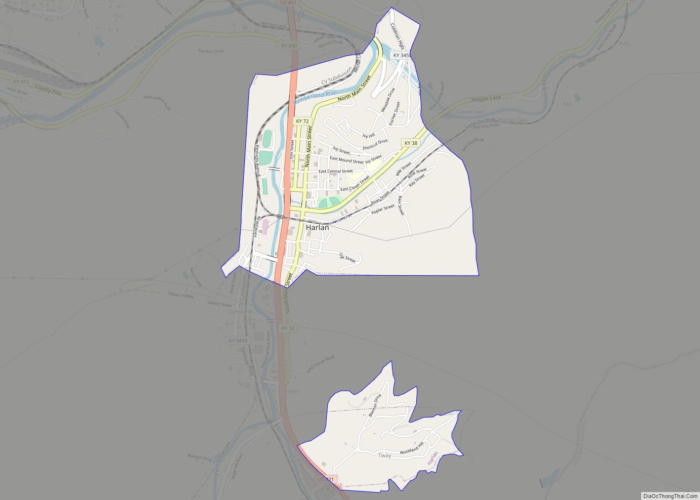
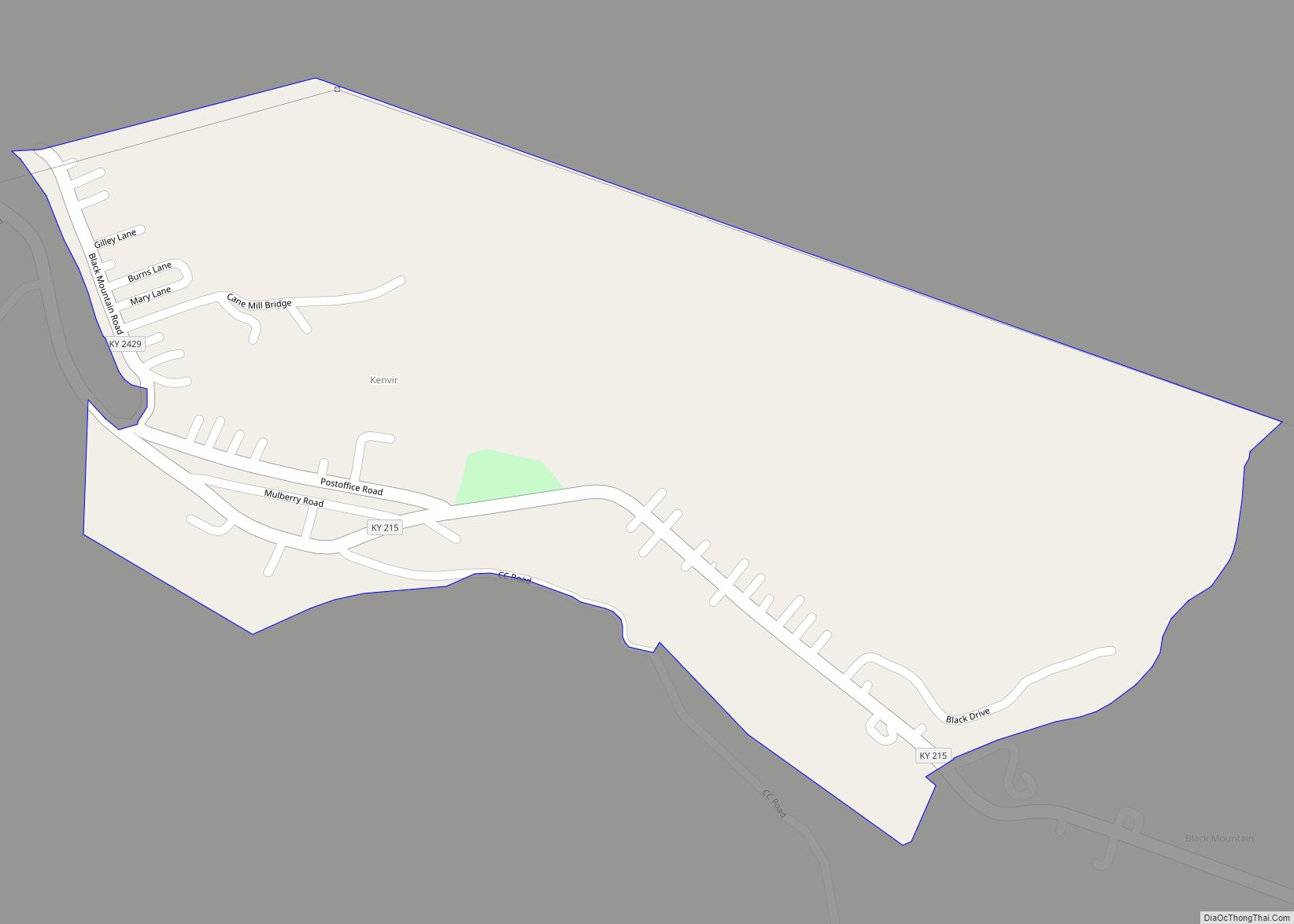
Online Interactive Map
Click on ![]() to view map in "full screen" mode.
to view map in "full screen" mode.
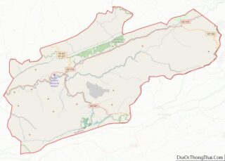
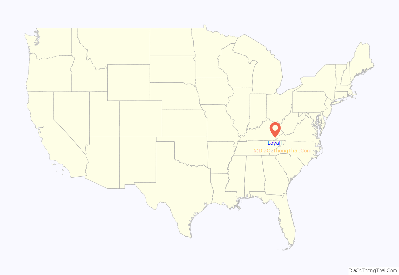
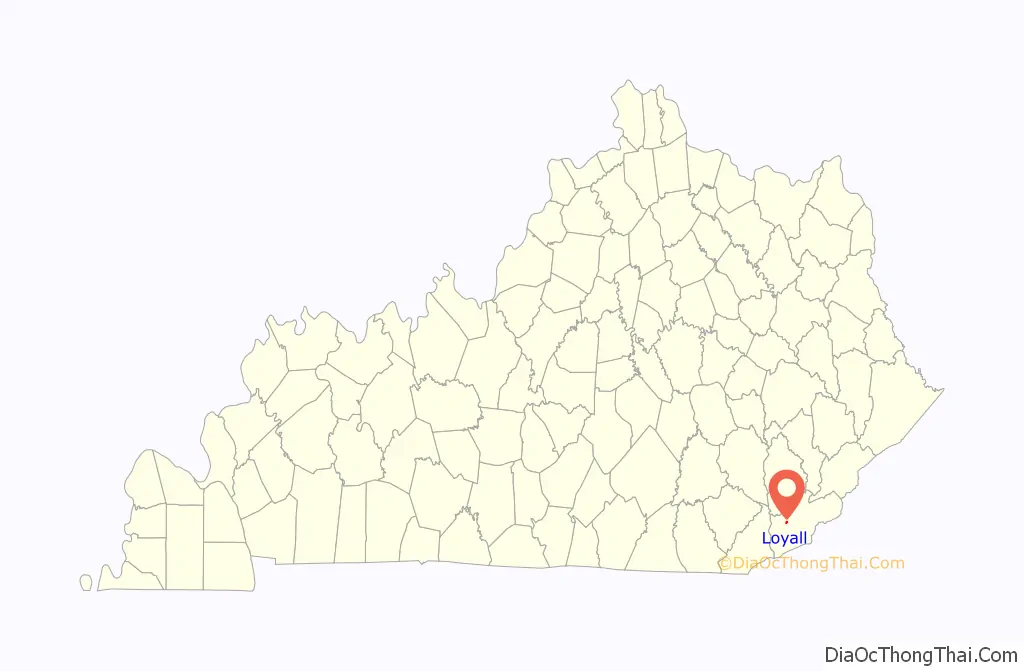
Loyall location map. Where is Loyall city?
History
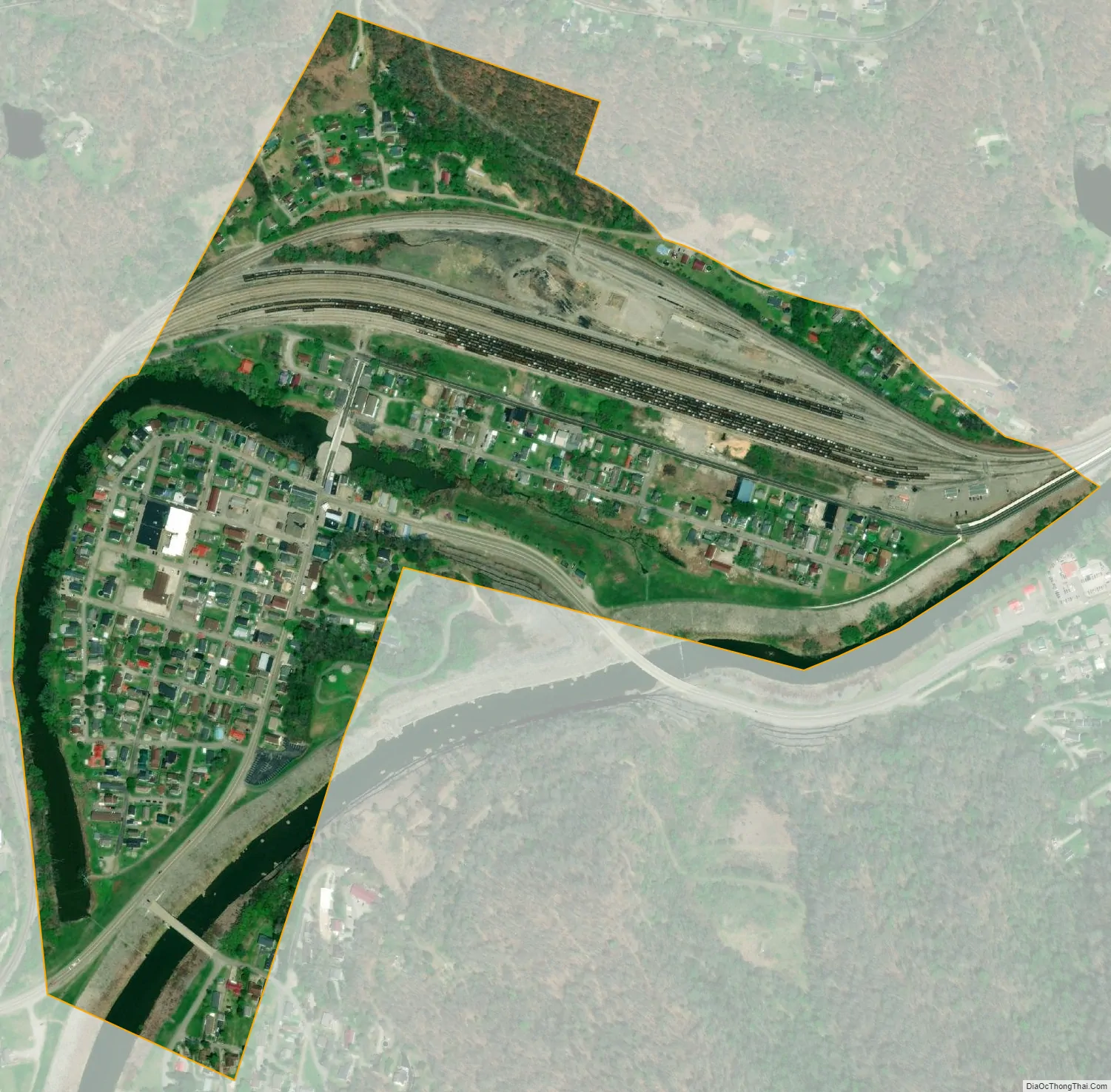
The community grew up around a Louisville and Nashville Railroad switching yard and maintenance facility, first constructed in 1920. The local post office (est. 1922) was originally known as “Shonn”, from local slang for a rail siding. The name “Loyall” was adopted in 1932. It remains unclear if it honors a company official or some other resident.
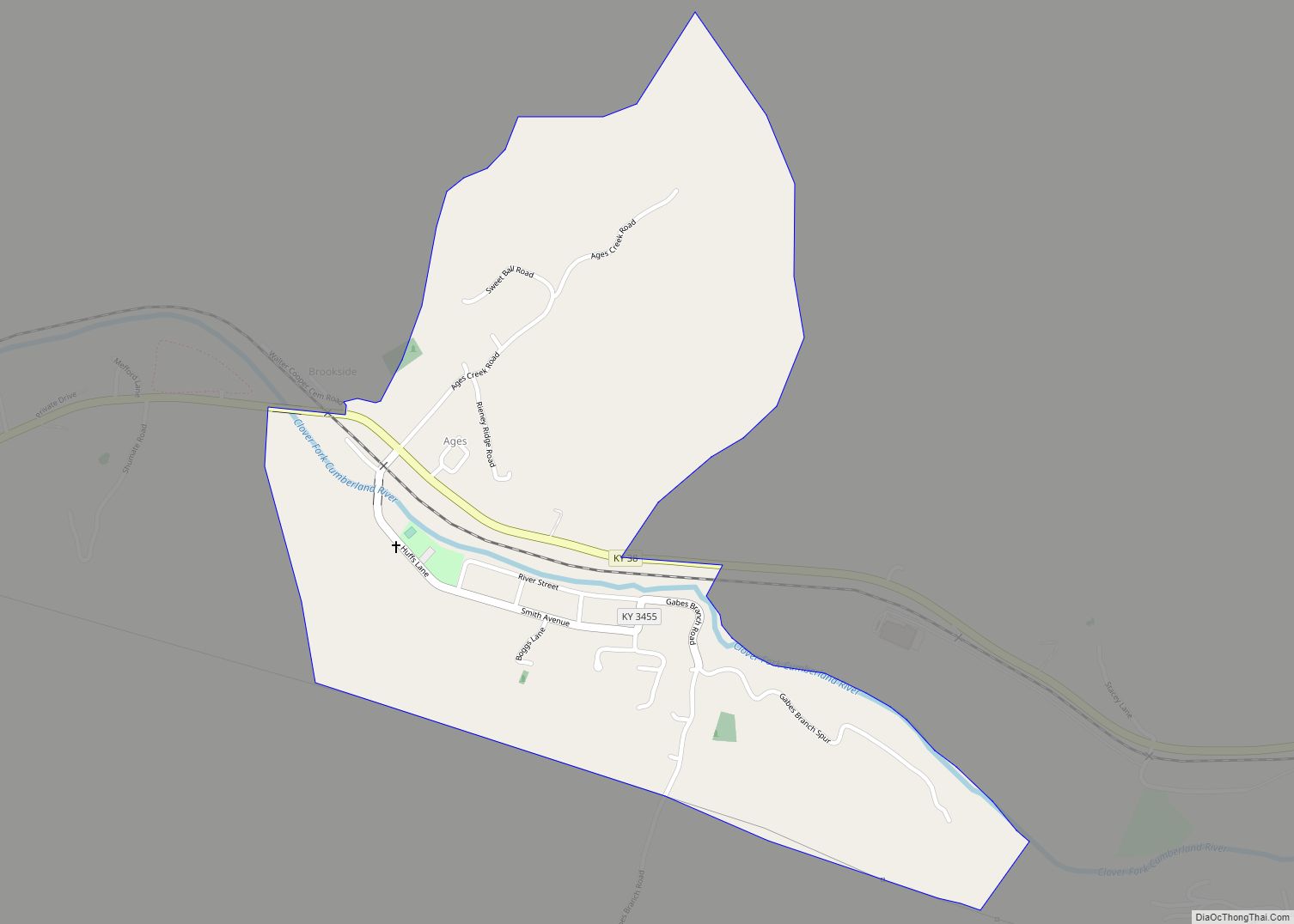
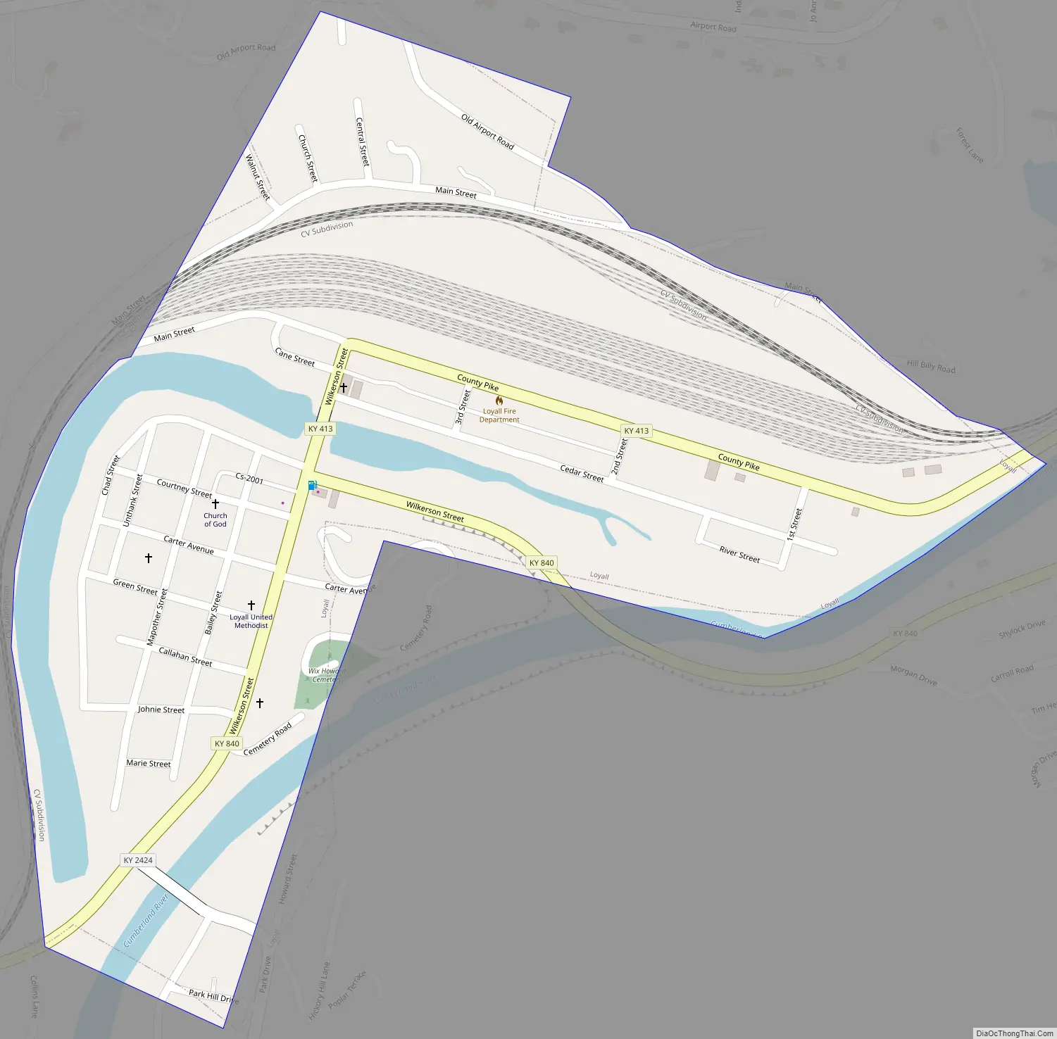
Loyall Road Map
Loyall city Satellite Map
Geography
Loyall is located in western Harlan County at 36°51′7″N 83°21′10″W / 36.85194°N 83.35278°W / 36.85194; -83.35278 (36.852046, -83.352870) in the valley of the Cumberland River, near its source. It is 3 miles (5 km) by road northwest of Harlan, the county seat. U.S. Route 119 bypasses the city to the north, leading northeast 23 miles (37 km) to Cumberland and southwest 28 miles (45 km) to its terminus in Pineville.
According to the United States Census Bureau, Loyall has a total area of 1.4 square miles (3.7 km), of which 1.4 square miles (3.5 km) are land and 0.1 square miles (0.2 km), or 6.05%, are water. The city’s area has more than quadrupled since 2000, when it was reported as 0.3 square miles (0.78 km), all of it land.
See also
Map of Kentucky State and its subdivision:- Adair
- Allen
- Anderson
- Ballard
- Barren
- Bath
- Bell
- Boone
- Bourbon
- Boyd
- Boyle
- Bracken
- Breathitt
- Breckinridge
- Bullitt
- Butler
- Caldwell
- Calloway
- Campbell
- Carlisle
- Carroll
- Carter
- Casey
- Christian
- Clark
- Clay
- Clinton
- Crittenden
- Cumberland
- Daviess
- Edmonson
- Elliott
- Estill
- Fayette
- Fleming
- Floyd
- Franklin
- Fulton
- Gallatin
- Garrard
- Grant
- Graves
- Grayson
- Green
- Greenup
- Hancock
- Hardin
- Harlan
- Harrison
- Hart
- Henderson
- Henry
- Hickman
- Hopkins
- Jackson
- Jefferson
- Jessamine
- Johnson
- Kenton
- Knott
- Knox
- Larue
- Laurel
- Lawrence
- Lee
- Leslie
- Letcher
- Lewis
- Lincoln
- Livingston
- Logan
- Lyon
- Madison
- Magoffin
- Marion
- Marshall
- Martin
- Mason
- McCracken
- McCreary
- McLean
- Meade
- Menifee
- Mercer
- Metcalfe
- Monroe
- Montgomery
- Morgan
- Muhlenberg
- Nelson
- Nicholas
- Ohio
- Oldham
- Owen
- Owsley
- Pendleton
- Perry
- Pike
- Powell
- Pulaski
- Robertson
- Rockcastle
- Rowan
- Russell
- Scott
- Shelby
- Simpson
- Spencer
- Taylor
- Todd
- Trigg
- Trimble
- Union
- Warren
- Washington
- Wayne
- Webster
- Whitley
- Wolfe
- Woodford
- Alabama
- Alaska
- Arizona
- Arkansas
- California
- Colorado
- Connecticut
- Delaware
- District of Columbia
- Florida
- Georgia
- Hawaii
- Idaho
- Illinois
- Indiana
- Iowa
- Kansas
- Kentucky
- Louisiana
- Maine
- Maryland
- Massachusetts
- Michigan
- Minnesota
- Mississippi
- Missouri
- Montana
- Nebraska
- Nevada
- New Hampshire
- New Jersey
- New Mexico
- New York
- North Carolina
- North Dakota
- Ohio
- Oklahoma
- Oregon
- Pennsylvania
- Rhode Island
- South Carolina
- South Dakota
- Tennessee
- Texas
- Utah
- Vermont
- Virginia
- Washington
- West Virginia
- Wisconsin
- Wyoming