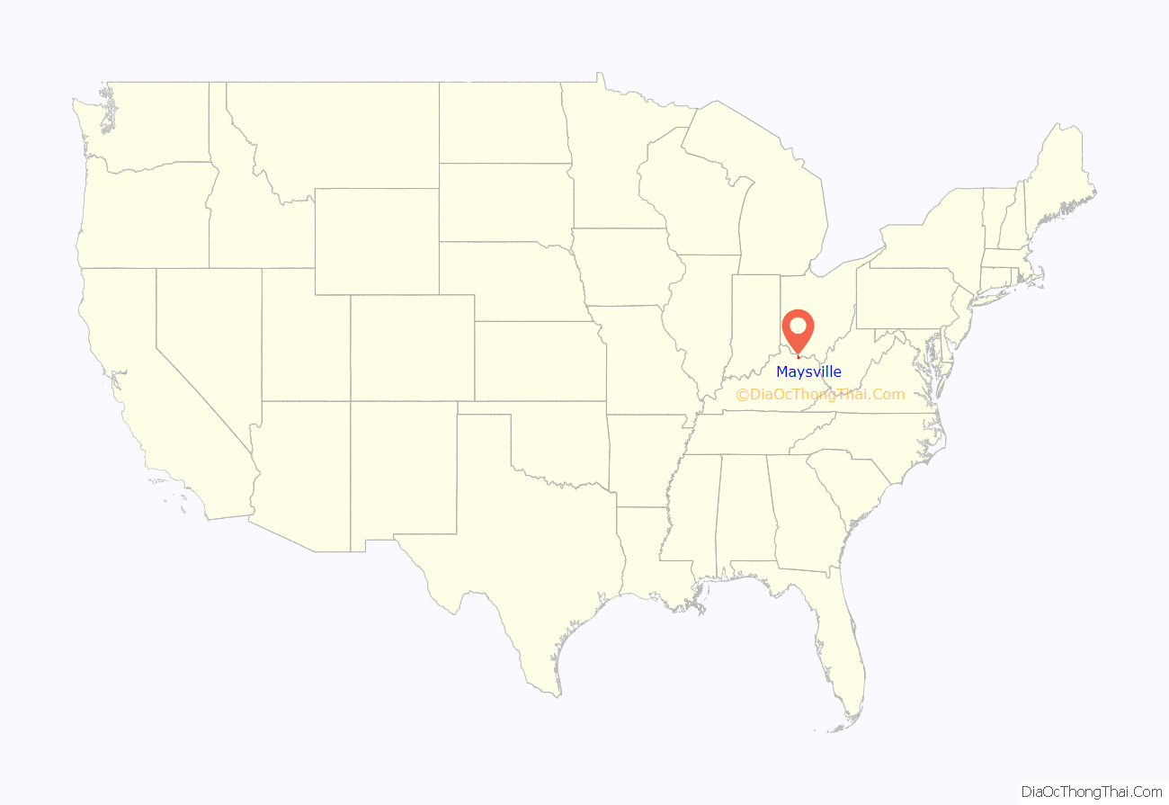
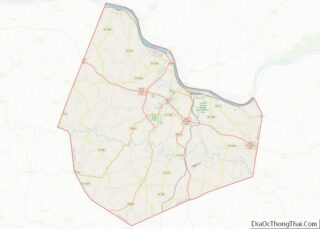
Maysville is a home rule-class city in Mason County, Kentucky, United States, and is the seat of Mason County. The population was 8,873 as of the 2020 census. Maysville is on the Ohio River, 66 miles (106 km) northeast of Lexington. It is the principal city of the Maysville Micropolitan Statistical Area, which comprises Mason County. Two bridges cross the Ohio from Maysville to Aberdeen, Ohio: the Simon Kenton Memorial Bridge built in 1931 and the William H. Harsha Bridge built in 2001.
On the edge of the outer Bluegrass Region, Maysville is historically important in Kentucky’s settlement. Frontiersmen Simon Kenton and Daniel Boone are among the city’s founders. Later, Maysville became an important port on the Ohio River for the northeastern part of the state. It exported bourbon whiskey, hemp and tobacco, the latter two produced mainly by African American slaves before the Civil War. It was once a center of wrought iron manufacture, sending ironwork downriver to decorate the buildings of Cincinnati, Ohio, and New Orleans, Louisiana. Other small manufacturers also located early in Maysville, and manufacturing remains an important part of the modern economy. Under the leadership of Henry Means Walker, Maysville was home to one of the largest tobacco auction warehouses in the world for most of the 20th century.
Maysville was an important stop on the Underground Railroad, as the free state of Ohio was just across the river. Abolitionist author Harriet Beecher Stowe visited the area in 1833 and watched a slave auction in front of the court house in Washington, the original seat of the county and now a historic district of Maysville. She included the scene in her influential novel Uncle Tom’s Cabin, published in 1852.
| Name: | Maysville city |
|---|---|
| LSAD Code: | 25 |
| LSAD Description: | city (suffix) |
| State: | Kentucky |
| County: | Mason County |
| Elevation: | 541 ft (165 m) |
| Total Area: | 21.35 sq mi (55.30 km²) |
| Land Area: | 18.97 sq mi (49.14 km²) |
| Water Area: | 2.38 sq mi (6.16 km²) |
| Total Population: | 8,873 |
| Population Density: | 467.64/sq mi (180.56/km²) |
| Area code: | 606 |
| FIPS code: | 2151024 |
| GNISfeature ID: | 0517025 |
| Website: | www.cityofmaysvilleky.gov |
Online Interactive Map
Click on ![]() to view map in "full screen" mode.
to view map in "full screen" mode.
Maysville location map. Where is Maysville city?
History
Early settlement
Buffalo once forded the Ohio here, beating a broad path into the interior of Kentucky in search of salt licks. For thousands of years, various cultures of indigenous peoples inhabited the area, hunting the buffalo and other game. In the 17th century, the powerful Iroquois Confederacy, based in present-day New York state, drove out other tribes to hold the Ohio Valley as a hunting ground.
European-American settlers traveling down the Ohio in the 18th century and early 19th century found a natural harbor at Limestone Creek. The buffalo trace, also a well-used trail traveled for centuries by Native Americans, was a natural path into the bluegrass region, extending all the way to Lexington, Kentucky. Frontiersman Simon Kenton made the first settlement in the area in 1775, but temporarily abandoned that to fight in the western battles of the American Revolution. Returning in 1784, Kenton built a blockhouse at the site of Maysville and founded Kenton’s Station (frontier fort) at a site 3 miles (5 km) inland. Kenton met new settlers at Limestone, as the landing place was called, and escorted them inland to his station. In 1786 the village which grew up near Kenton’s Station was established by act of the Virginia General Assembly as the town of Washington. By this time, John May had acquired the land at Limestone and Daniel Boone established a trading post and tavern there. In 1787 the little settlement was incorporated as Maysville, though the name “Limestone” persisted well into the 19th century.
Growth
In 1788, when Mason County was organized and Washington was named its county seat, Maysville was still a primitive site of warehouses and wharves, with few dwellings. In 1795, the conclusion of the Northwest Indian War reduced the likelihood of Indian attacks from across the Ohio. Maysville began to flourish. Zane’s Trace, a road from Wheeling, Virginia (now West Virginia), to the bank of the Ohio River opposite Maysville, was completed in 1797 and stimulated ferry traffic across the river. By 1807, Maysville was one of two principal ports in Kentucky; it was still mostly a place through which goods and people passed, having only about sixty dwellings. In 1811, the first steamboat came down the Ohio from Pittsburgh, Pennsylvania, passing Maysville on its way to New Orleans. With the coming of the steamboat, Maysville’s population and area expanded rapidly.
Maysville Road
Southwest from Maysville, the road followed the former buffalo trace and Native American trail to Lexington. It was called both the Maysville Road and the Limestone Road. It was maintained by the various counties through which it passed with local labor from the county levies. The road was rough and during certain seasons practically impassable.
In 1829, the Kentucky legislature authorized the Maysville, Washington, Paris, and Lexington Turnpike Road Company to construct a modern roadway along the route of the old Limestone Road. Users would be charged fees for maintenance and paying off the debt to shareholders. The act set aside blocks of shares for purchase by the federal government. Henry Clay, an influential Kentucky politician and proponent of the American System, argued for the Maysville Road and other infrastructure, noting it would be part of a longer road terminating in New Orleans, Louisiana, and proper for federal funding.
In 1830, Congress passed a bill authorizing the federal government to purchase shares in the turnpike company. President Andrew Jackson, a bitter rival of Clay, vetoed the bill, arguing that the project was of purely local benefit. The Maysville Road veto was one of Jackson’s first acts in aligning the federal government with his principles of Jacksonian democracy.
An attempt to override Jackson’s veto failed, but the controversy over the Maysville Road veto continued for some time. The turnpike was completed in 1835 with funding from local entities and private investment. It was the first macadamized road in the state. Today it is U.S. Route 68.
County seat
By the 1830s, Maysville had a population of 3,000 and was the second-most important commercial city in Kentucky after Louisville. Washington, the county seat, had dwindled in importance after a fire in 1825 and a series of deadly cholera epidemics. A proposal to move the county government from Washington to Maysville was bitterly fought but passed by a slender margin in 1848. Maysville donated its city hall, completed in 1846, to the county for a court house. Today, much of Washington is designated as a historic district, the Washington Historic District; it is listed on the National Register of Historic Places.
In 1850, the Maysville & Lexington Railroad began operation, but it failed within the decade. Successor companies maintained the connection until 1921 when they were bought out by the L&N. Today, the Maysville & Lexington’s former routes and rights-of-way are owned by CSX Transportation.
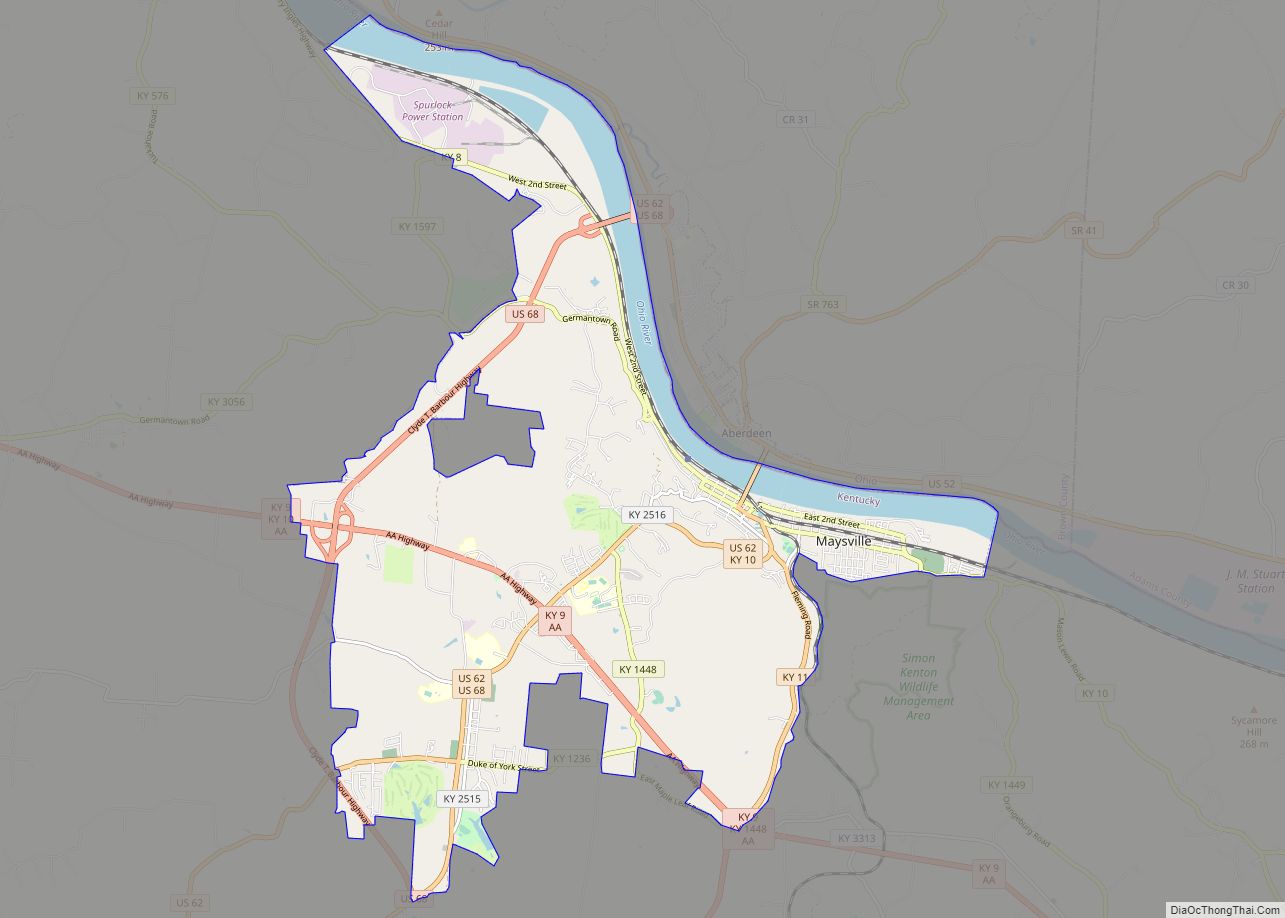
Maysville Road Map
Maysville city Satellite Map
Geography
Maysville is located on the Ohio River at the mouth of Limestone Creek. It occupies the narrow river plain and the steep hills rising from it, giving the city the prospect of an Italian hill town. The city now extends inland to the former town of Washington, which was annexed by Maysville in 1990. The city has a total area of 21.35 square miles (55.3 km), of which 18.97 square miles (49.1 km) are land and 2.38 square miles (6.2 km), or 11.13%, are water. Maysville is at Ohio River mile marker 408.7, and is 100 miles (160 km) downriver from Huntington, West Virginia, and 62 miles (100 km) upriver from Cincinnati, Ohio.
See also
Map of Kentucky State and its subdivision:- Adair
- Allen
- Anderson
- Ballard
- Barren
- Bath
- Bell
- Boone
- Bourbon
- Boyd
- Boyle
- Bracken
- Breathitt
- Breckinridge
- Bullitt
- Butler
- Caldwell
- Calloway
- Campbell
- Carlisle
- Carroll
- Carter
- Casey
- Christian
- Clark
- Clay
- Clinton
- Crittenden
- Cumberland
- Daviess
- Edmonson
- Elliott
- Estill
- Fayette
- Fleming
- Floyd
- Franklin
- Fulton
- Gallatin
- Garrard
- Grant
- Graves
- Grayson
- Green
- Greenup
- Hancock
- Hardin
- Harlan
- Harrison
- Hart
- Henderson
- Henry
- Hickman
- Hopkins
- Jackson
- Jefferson
- Jessamine
- Johnson
- Kenton
- Knott
- Knox
- Larue
- Laurel
- Lawrence
- Lee
- Leslie
- Letcher
- Lewis
- Lincoln
- Livingston
- Logan
- Lyon
- Madison
- Magoffin
- Marion
- Marshall
- Martin
- Mason
- McCracken
- McCreary
- McLean
- Meade
- Menifee
- Mercer
- Metcalfe
- Monroe
- Montgomery
- Morgan
- Muhlenberg
- Nelson
- Nicholas
- Ohio
- Oldham
- Owen
- Owsley
- Pendleton
- Perry
- Pike
- Powell
- Pulaski
- Robertson
- Rockcastle
- Rowan
- Russell
- Scott
- Shelby
- Simpson
- Spencer
- Taylor
- Todd
- Trigg
- Trimble
- Union
- Warren
- Washington
- Wayne
- Webster
- Whitley
- Wolfe
- Woodford
- Alabama
- Alaska
- Arizona
- Arkansas
- California
- Colorado
- Connecticut
- Delaware
- District of Columbia
- Florida
- Georgia
- Hawaii
- Idaho
- Illinois
- Indiana
- Iowa
- Kansas
- Kentucky
- Louisiana
- Maine
- Maryland
- Massachusetts
- Michigan
- Minnesota
- Mississippi
- Missouri
- Montana
- Nebraska
- Nevada
- New Hampshire
- New Jersey
- New Mexico
- New York
- North Carolina
- North Dakota
- Ohio
- Oklahoma
- Oregon
- Pennsylvania
- Rhode Island
- South Carolina
- South Dakota
- Tennessee
- Texas
- Utah
- Vermont
- Virginia
- Washington
- West Virginia
- Wisconsin
- Wyoming
