McKee is a home rule-class city located in the Commonwealth of Kentucky. It is the seat of Jackson County, KY. As of the 2020 census, the population of the city was 803. The city was founded on April 1, 1882 and was named for Judge George R. McKee. In 2019, the city held a vote regarding the sale of alcohol, which passed, making the city wet.
| Name: | McKee city |
|---|---|
| LSAD Code: | 25 |
| LSAD Description: | city (suffix) |
| State: | Kentucky |
| County: | Jackson County |
| Incorporated: | April 1, 1882 |
| Elevation: | 1,030 ft (314 m) |
| Total Area: | 2.41 sq mi (6.23 km²) |
| Land Area: | 2.41 sq mi (6.23 km²) |
| Water Area: | 0.00 sq mi (0.00 km²) |
| Total Population: | 803 |
| Population Density: | 333.75/sq mi (128.85/km²) |
| ZIP code: | 40447 |
| Area code: | 606 |
| FIPS code: | 2149116 |
| GNISfeature ID: | 0513872 |
Online Interactive Map
Click on ![]() to view map in "full screen" mode.
to view map in "full screen" mode.
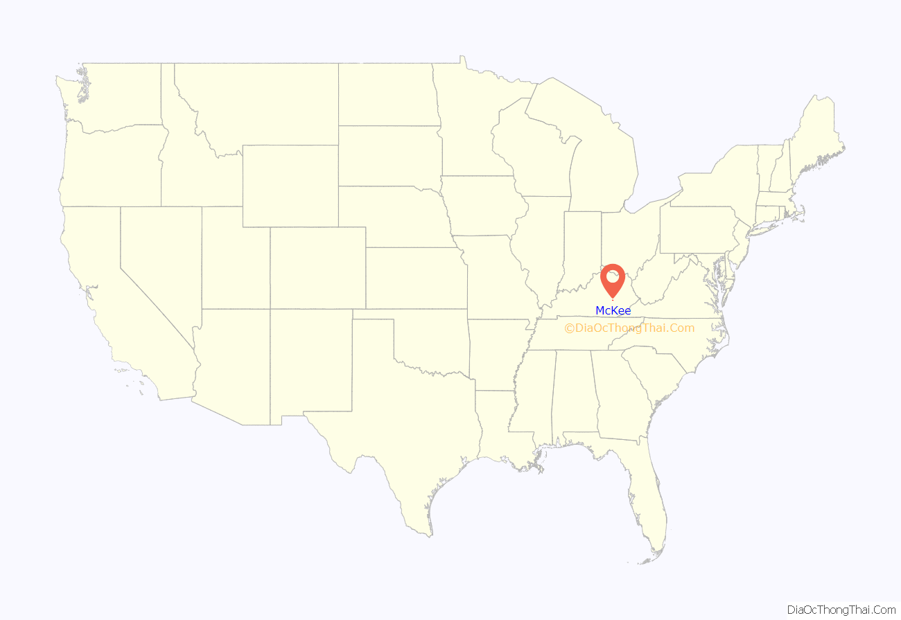
McKee location map. Where is McKee city?
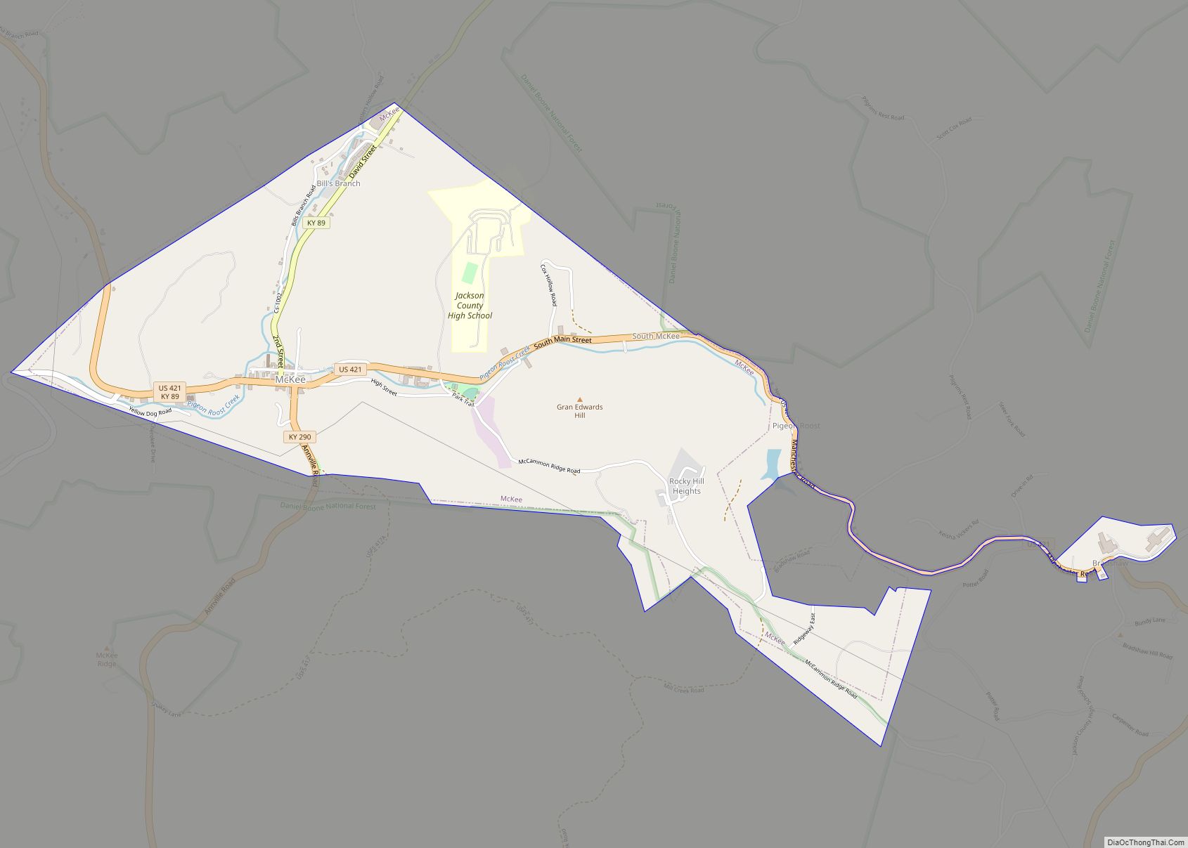
McKee Road Map
McKee city Satellite Map
Geography
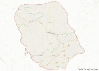
McKee is located in the central part of Jackson County, within the Daniel Boone National Forest. U.S. Route 421 passes through the center of town, leading northwest 34 miles to Richmond and southeast 29 miles to Manchester. Kentucky Route 89 runs north from McKee 28 miles to Irvine and southwest 24 miles to Livingston, while Kentucky Route 290 leads south from McKee 9 miles to Annville.
According to the United States Census Bureau, the city has a total area of 2.33 square miles, of which 0.3 acres or 0.02%, are water. The city sits in the valley of Pigeon Roost Creek, which joins Birch Lick Creek at the western end of the city to form Indian Creek, a southwest-flowing tributary of the Middle Fork of the Rockcastle River, part of the Cumberland River watershed.
See also
Map of Kentucky State and its subdivision:- Adair
- Allen
- Anderson
- Ballard
- Barren
- Bath
- Bell
- Boone
- Bourbon
- Boyd
- Boyle
- Bracken
- Breathitt
- Breckinridge
- Bullitt
- Butler
- Caldwell
- Calloway
- Campbell
- Carlisle
- Carroll
- Carter
- Casey
- Christian
- Clark
- Clay
- Clinton
- Crittenden
- Cumberland
- Daviess
- Edmonson
- Elliott
- Estill
- Fayette
- Fleming
- Floyd
- Franklin
- Fulton
- Gallatin
- Garrard
- Grant
- Graves
- Grayson
- Green
- Greenup
- Hancock
- Hardin
- Harlan
- Harrison
- Hart
- Henderson
- Henry
- Hickman
- Hopkins
- Jackson
- Jefferson
- Jessamine
- Johnson
- Kenton
- Knott
- Knox
- Larue
- Laurel
- Lawrence
- Lee
- Leslie
- Letcher
- Lewis
- Lincoln
- Livingston
- Logan
- Lyon
- Madison
- Magoffin
- Marion
- Marshall
- Martin
- Mason
- McCracken
- McCreary
- McLean
- Meade
- Menifee
- Mercer
- Metcalfe
- Monroe
- Montgomery
- Morgan
- Muhlenberg
- Nelson
- Nicholas
- Ohio
- Oldham
- Owen
- Owsley
- Pendleton
- Perry
- Pike
- Powell
- Pulaski
- Robertson
- Rockcastle
- Rowan
- Russell
- Scott
- Shelby
- Simpson
- Spencer
- Taylor
- Todd
- Trigg
- Trimble
- Union
- Warren
- Washington
- Wayne
- Webster
- Whitley
- Wolfe
- Woodford
- Alabama
- Alaska
- Arizona
- Arkansas
- California
- Colorado
- Connecticut
- Delaware
- District of Columbia
- Florida
- Georgia
- Hawaii
- Idaho
- Illinois
- Indiana
- Iowa
- Kansas
- Kentucky
- Louisiana
- Maine
- Maryland
- Massachusetts
- Michigan
- Minnesota
- Mississippi
- Missouri
- Montana
- Nebraska
- Nevada
- New Hampshire
- New Jersey
- New Mexico
- New York
- North Carolina
- North Dakota
- Ohio
- Oklahoma
- Oregon
- Pennsylvania
- Rhode Island
- South Carolina
- South Dakota
- Tennessee
- Texas
- Utah
- Vermont
- Virginia
- Washington
- West Virginia
- Wisconsin
- Wyoming


