Middletown is an independent, home rule-class city in Jefferson County, Kentucky, United States, and a former neighborhood of Louisville. The population was 7,218 at the 2010 census.
The city is also home to the main campus of the largest church in the state (and one of the country’s largest Protestant churches), the Southeast Christian Church.
| Name: | Middletown city |
|---|---|
| LSAD Code: | 25 |
| LSAD Description: | city (suffix) |
| State: | Kentucky |
| County: | Jefferson County |
| Incorporated: | 1866 |
| Elevation: | 725 ft (221 m) |
| Total Area: | 5.20 sq mi (13.46 km²) |
| Land Area: | 5.14 sq mi (13.30 km²) |
| Water Area: | 0.06 sq mi (0.16 km²) |
| Total Population: | 9,706 |
| Population Density: | 1,889.80/sq mi (729.68/km²) |
| ZIP code: | 40243, 40253 |
| Area code: | 502 |
| FIPS code: | 2151978 |
| GNISfeature ID: | 0498159 |
| Website: | www.cityofmiddletownky.org |
Online Interactive Map
Click on ![]() to view map in "full screen" mode.
to view map in "full screen" mode.
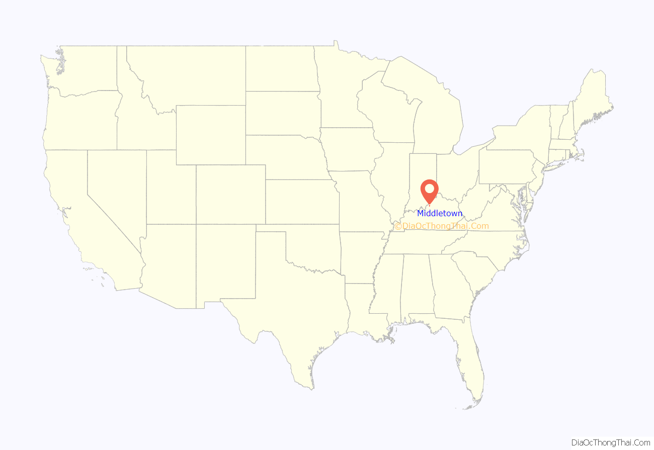
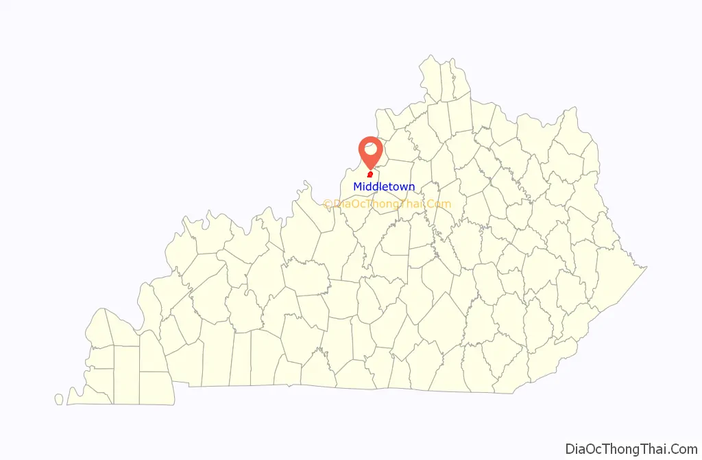
Middletown location map. Where is Middletown city?
History
The City of Middletown was originally incorporated in 1797 by the Jefferson County Court on 500 acres of land lying on a branch of the forks of Beargrass Creek that originally belonged to Jacob Meyers and Culberth Harrison. Though there is no recorded explanation why the city was named Middletown, it is commonly believed that that name was chosen because the town was in the “middle” of the two older cities of Louisville which was founded June 24, 1778, and Shelbyville, which was founded December 20, 1792. In 1871 the Kentucky General Assembly amended the original charter to increase Middletown’s boundaries.
After failing to hold elections and collect taxes after 1919, Circuit Judge McCauley Smith dissolved the city’s charter on July 26, 1960, and Middletown lost its 163-year-old city status. The city’s charter was restored as a sixth-class city on August 7, 1976 with a commission form of government. On July 15, 1982, this was upgraded to the status of a fourth-class city.
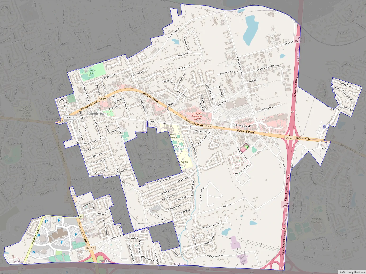
Middletown Road Map
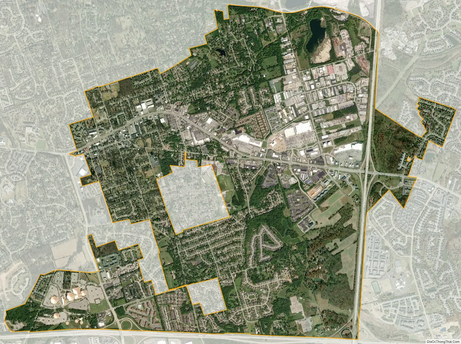
Middletown city Satellite Map
Geography
Middletown is located at 38°14′36″N 85°31′51″W / 38.24333°N 85.53083°W / 38.24333; -85.53083 (38.243342, -85.530842). in northeast Jefferson County, Kentucky near Louisville, Kentucky.
According to the United States Census Bureau, the city has a total area of 5.10 square miles (13.2 km), of which 5.04 square miles (13.1 km) is land and 0.061 square miles (0.16 km) (1.20%) is water.
See also
Map of Kentucky State and its subdivision:- Adair
- Allen
- Anderson
- Ballard
- Barren
- Bath
- Bell
- Boone
- Bourbon
- Boyd
- Boyle
- Bracken
- Breathitt
- Breckinridge
- Bullitt
- Butler
- Caldwell
- Calloway
- Campbell
- Carlisle
- Carroll
- Carter
- Casey
- Christian
- Clark
- Clay
- Clinton
- Crittenden
- Cumberland
- Daviess
- Edmonson
- Elliott
- Estill
- Fayette
- Fleming
- Floyd
- Franklin
- Fulton
- Gallatin
- Garrard
- Grant
- Graves
- Grayson
- Green
- Greenup
- Hancock
- Hardin
- Harlan
- Harrison
- Hart
- Henderson
- Henry
- Hickman
- Hopkins
- Jackson
- Jefferson
- Jessamine
- Johnson
- Kenton
- Knott
- Knox
- Larue
- Laurel
- Lawrence
- Lee
- Leslie
- Letcher
- Lewis
- Lincoln
- Livingston
- Logan
- Lyon
- Madison
- Magoffin
- Marion
- Marshall
- Martin
- Mason
- McCracken
- McCreary
- McLean
- Meade
- Menifee
- Mercer
- Metcalfe
- Monroe
- Montgomery
- Morgan
- Muhlenberg
- Nelson
- Nicholas
- Ohio
- Oldham
- Owen
- Owsley
- Pendleton
- Perry
- Pike
- Powell
- Pulaski
- Robertson
- Rockcastle
- Rowan
- Russell
- Scott
- Shelby
- Simpson
- Spencer
- Taylor
- Todd
- Trigg
- Trimble
- Union
- Warren
- Washington
- Wayne
- Webster
- Whitley
- Wolfe
- Woodford
- Alabama
- Alaska
- Arizona
- Arkansas
- California
- Colorado
- Connecticut
- Delaware
- District of Columbia
- Florida
- Georgia
- Hawaii
- Idaho
- Illinois
- Indiana
- Iowa
- Kansas
- Kentucky
- Louisiana
- Maine
- Maryland
- Massachusetts
- Michigan
- Minnesota
- Mississippi
- Missouri
- Montana
- Nebraska
- Nevada
- New Hampshire
- New Jersey
- New Mexico
- New York
- North Carolina
- North Dakota
- Ohio
- Oklahoma
- Oregon
- Pennsylvania
- Rhode Island
- South Carolina
- South Dakota
- Tennessee
- Texas
- Utah
- Vermont
- Virginia
- Washington
- West Virginia
- Wisconsin
- Wyoming


