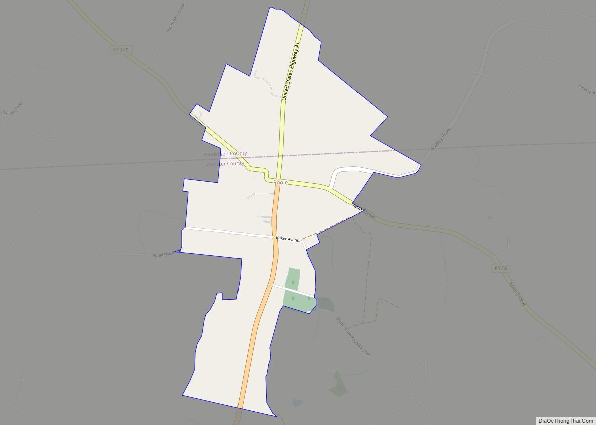
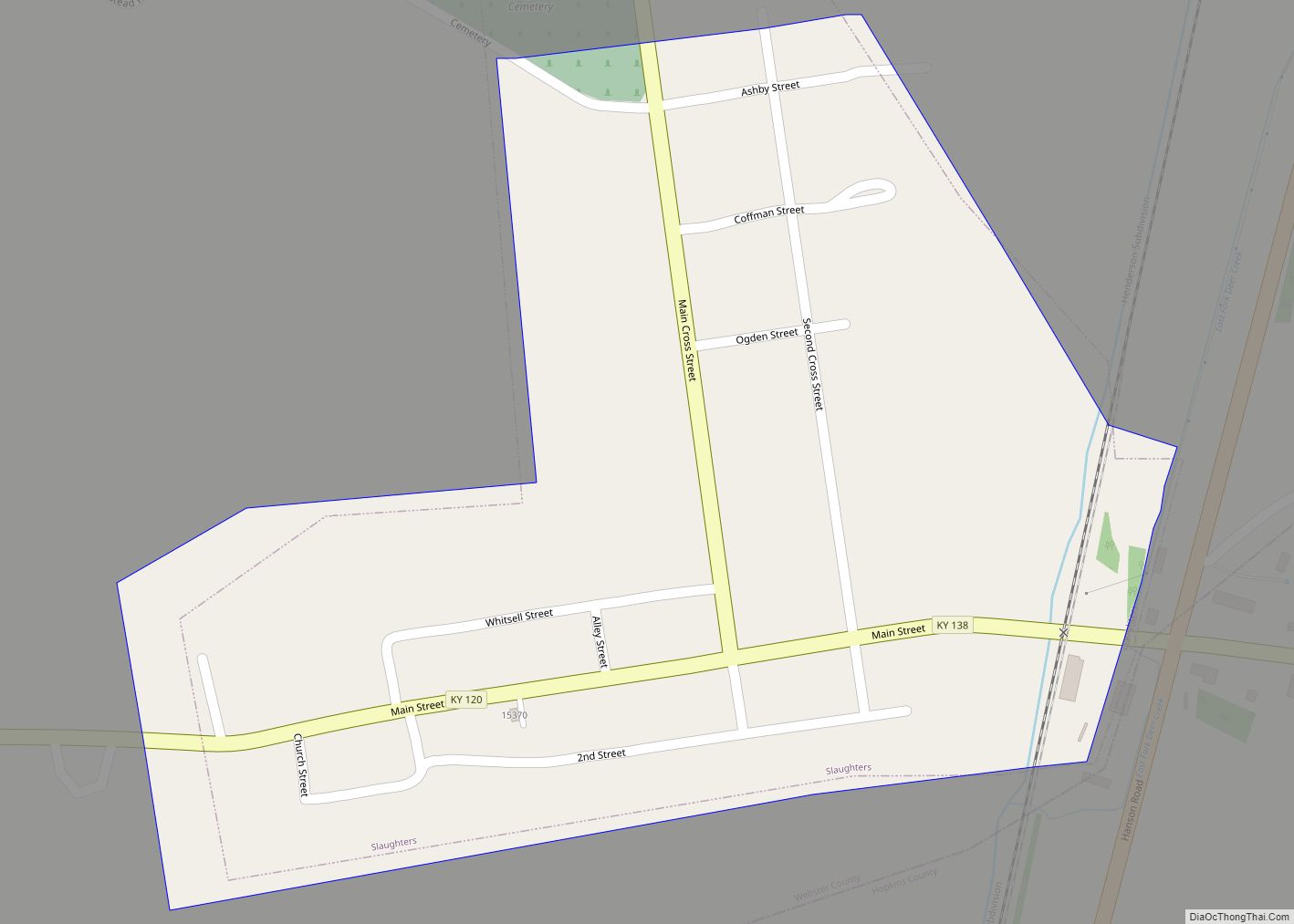
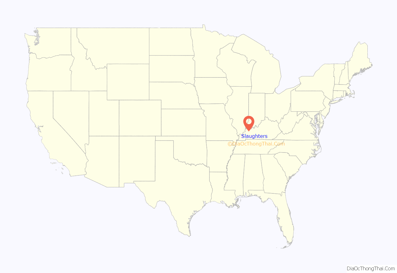
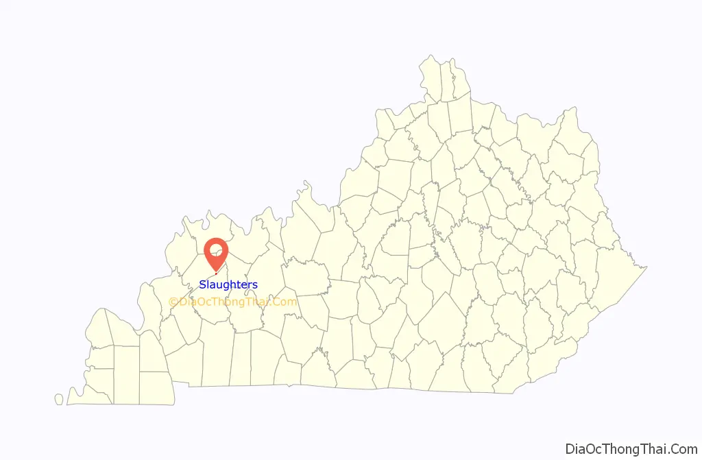
Slaughters is a home rule-class city in Webster County, Kentucky, United States. The population was 238 at the 2000 census. Slaughters lies just west of US 41 and 9.5 mi (15.3 km) east of Dixon.
CSX Transportation runs through Slaughters and operates a siding track that is named after the city.
| Name: | Slaughters city |
|---|---|
| LSAD Code: | 25 |
| LSAD Description: | city (suffix) |
| State: | Kentucky |
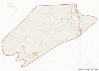
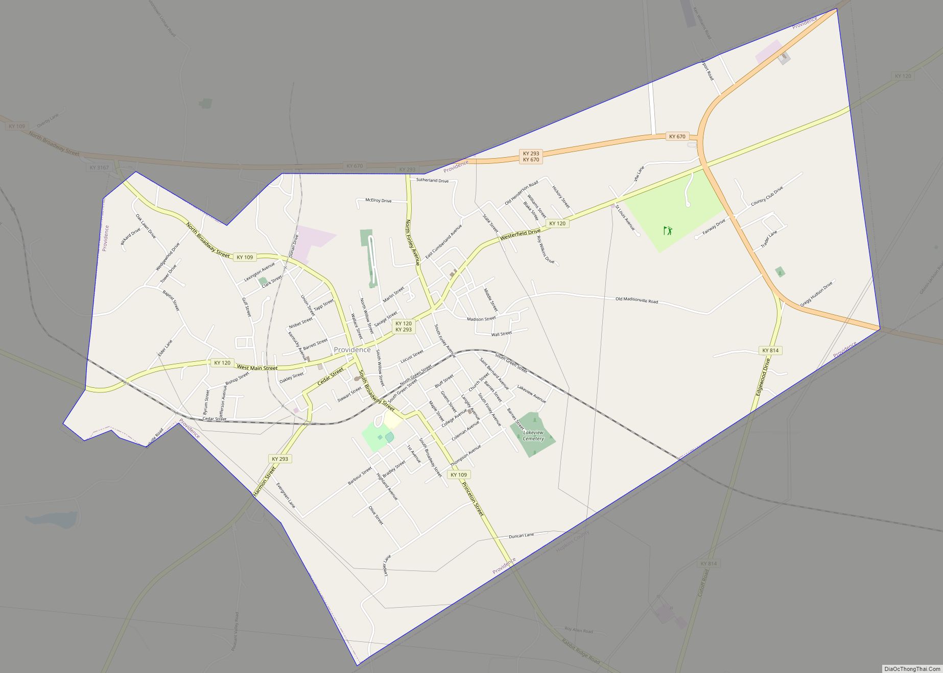
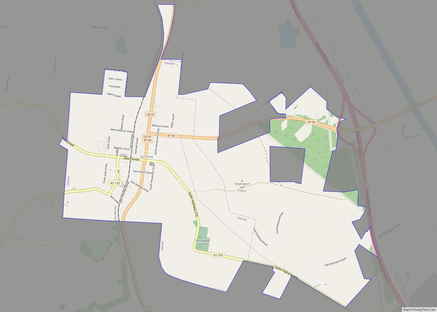
| County: | Webster County |
| Elevation: | 420 ft (130 m) |
| Total Area: | 0.23 sq mi (0.60 km²) |
| Land Area: | 0.23 sq mi (0.60 km²) |
| Water Area: | 0.00 sq mi (0.00 km²) |
| Total Population: | 190 |
| Population Density: | 826.09/sq mi (319.14/km²) |
| ZIP code: | 42456 |
| Area code: | 270 |
| FIPS code: | 2171130 |
| GNISfeature ID: | 0503668 |
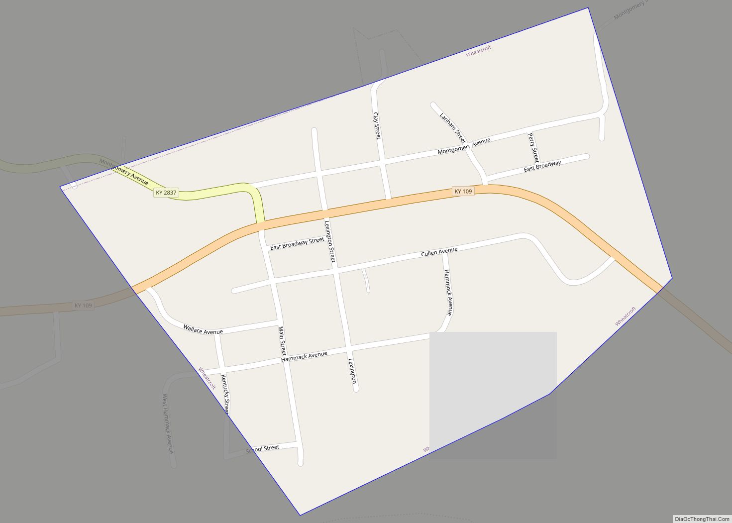
Online Interactive Map
Click on ![]() to view map in "full screen" mode.
to view map in "full screen" mode.
Slaughters location map. Where is Slaughters city?
History
According to local tradition, it was named for Gustavus Slaughter who won the right to name the town and post office after winning a game of cards in 1855.
The post office was established as Slaughtersville on January 29, 1856, with Henry A. Prater, postmaster. Slaughter himself served as postmaster from 1860 to 1865 and was succeeded by Stiman.
Though the post office was renamed Slaughters in 1915, the town remained Slaughtersville from its incorporation in 1861 until 1967 when the Board on Geographic Names reversed an earlier decision and conformed to common usage and the present name of the post office.
Slaughters Road Map
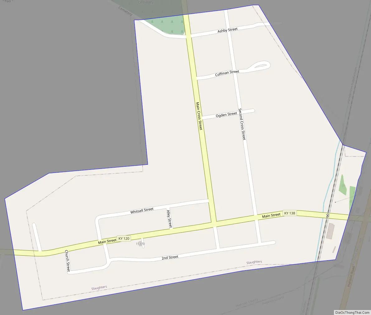
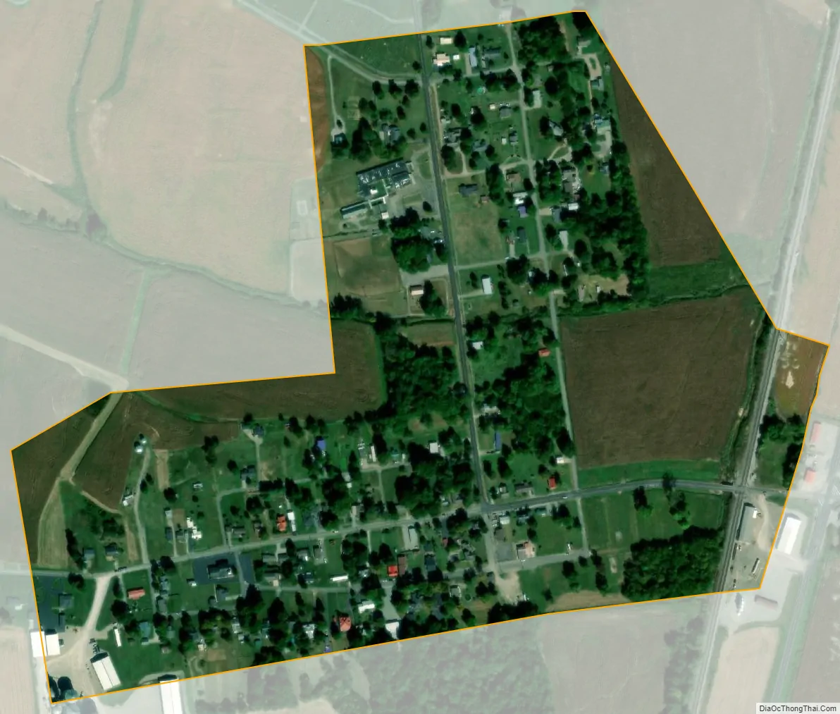
Slaughters city Satellite Map
Geography
According to the United States Census Bureau, the city has a total area of 0.2 square miles (0.52 km), all land.
See also
Map of Kentucky State and its subdivision:- Adair
- Allen
- Anderson
- Ballard
- Barren
- Bath
- Bell
- Boone
- Bourbon
- Boyd
- Boyle
- Bracken
- Breathitt
- Breckinridge
- Bullitt
- Butler
- Caldwell
- Calloway
- Campbell
- Carlisle
- Carroll
- Carter
- Casey
- Christian
- Clark
- Clay
- Clinton
- Crittenden
- Cumberland
- Daviess
- Edmonson
- Elliott
- Estill
- Fayette
- Fleming
- Floyd
- Franklin
- Fulton
- Gallatin
- Garrard
- Grant
- Graves
- Grayson
- Green
- Greenup
- Hancock
- Hardin
- Harlan
- Harrison
- Hart
- Henderson
- Henry
- Hickman
- Hopkins
- Jackson
- Jefferson
- Jessamine
- Johnson
- Kenton
- Knott
- Knox
- Larue
- Laurel
- Lawrence
- Lee
- Leslie
- Letcher
- Lewis
- Lincoln
- Livingston
- Logan
- Lyon
- Madison
- Magoffin
- Marion
- Marshall
- Martin
- Mason
- McCracken
- McCreary
- McLean
- Meade
- Menifee
- Mercer
- Metcalfe
- Monroe
- Montgomery
- Morgan
- Muhlenberg
- Nelson
- Nicholas
- Ohio
- Oldham
- Owen
- Owsley
- Pendleton
- Perry
- Pike
- Powell
- Pulaski
- Robertson
- Rockcastle
- Rowan
- Russell
- Scott
- Shelby
- Simpson
- Spencer
- Taylor
- Todd
- Trigg
- Trimble
- Union
- Warren
- Washington
- Wayne
- Webster
- Whitley
- Wolfe
- Woodford
- Alabama
- Alaska
- Arizona
- Arkansas
- California
- Colorado
- Connecticut
- Delaware
- District of Columbia
- Florida
- Georgia
- Hawaii
- Idaho
- Illinois
- Indiana
- Iowa
- Kansas
- Kentucky
- Louisiana
- Maine
- Maryland
- Massachusetts
- Michigan
- Minnesota
- Mississippi
- Missouri
- Montana
- Nebraska
- Nevada
- New Hampshire
- New Jersey
- New Mexico
- New York
- North Carolina
- North Dakota
- Ohio
- Oklahoma
- Oregon
- Pennsylvania
- Rhode Island
- South Carolina
- South Dakota
- Tennessee
- Texas
- Utah
- Vermont
- Virginia
- Washington
- West Virginia
- Wisconsin
- Wyoming