Sparta is a home rule-class city in Gallatin and Owen counties in the U.S. state of Kentucky. The population was 231 at the 2010 census.
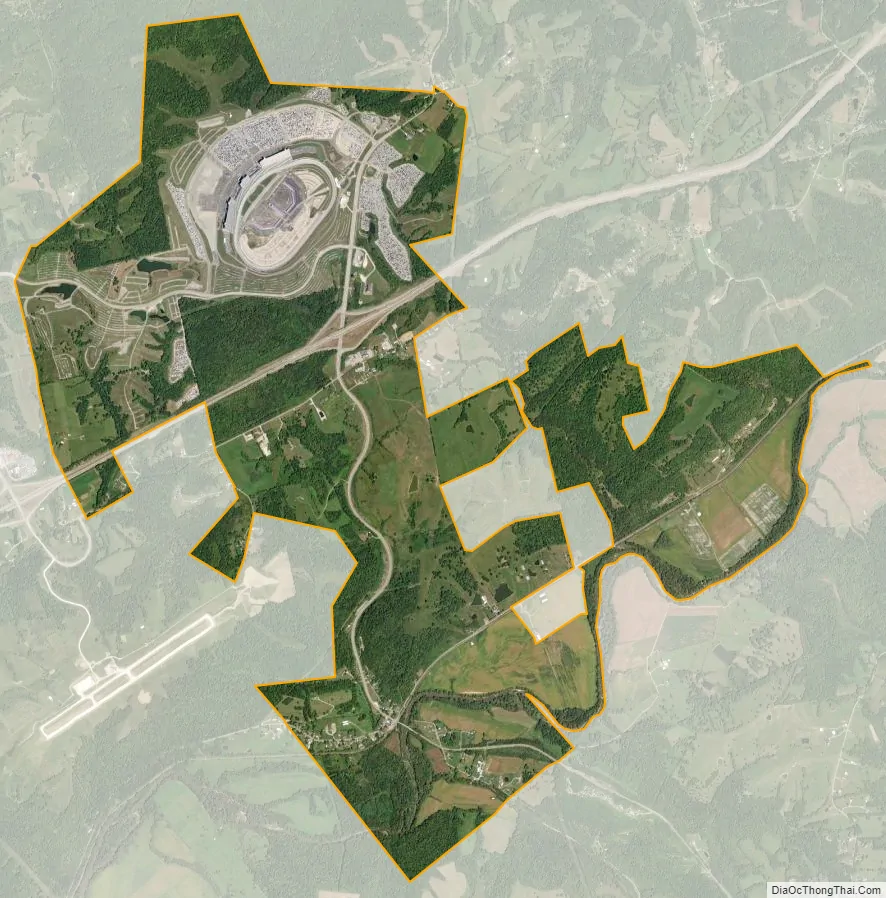
Sparta is home to Kentucky Speedway.
| Name: | Sparta city |
|---|---|
| LSAD Code: | 25 |
| LSAD Description: | city (suffix) |
| State: | Kentucky |
| County: | Gallatin County |
| Elevation: | 509 ft (155 m) |
| Total Area: | 6.29 sq mi (16.30 km²) |
| Land Area: | 6.26 sq mi (16.22 km²) |
| Water Area: | 0.03 sq mi (0.08 km²) |
| Total Population: | 236 |
| Population Density: | 37.68/sq mi (14.55/km²) |
| ZIP code: | 41086 |
| Area code: | 859 |
| FIPS code: | 2172372 |
| GNISfeature ID: | 0504031 |
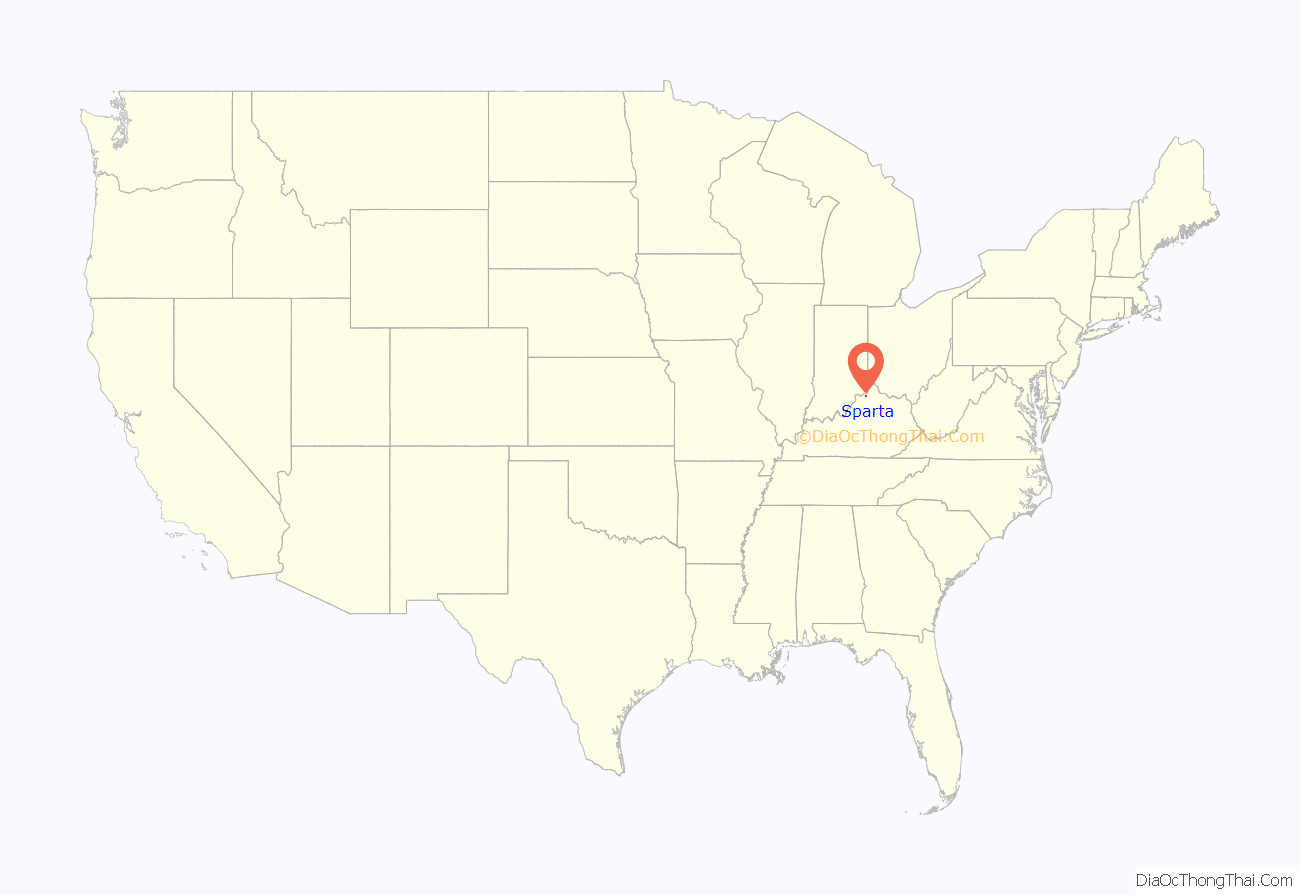
Online Interactive Map
Click on ![]() to view map in "full screen" mode.
to view map in "full screen" mode.
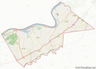
Sparta location map. Where is Sparta city?

History
Sparta began as a village named “Brock’s Station” in 1802, and was incorporated as a town in 1852. The community took its name from the local Sparta gristmill. Sparta became a stop on the Louisville & Nashville Railroad; the CSX railroad still runs through Sparta along Eagle Creek.
Interstate 71 now is one mile from the city. In 1999, the Kentucky Speedway was built to eventually host a NASCAR Sprint Cup Series race. In 2000, the Truck Series raced the inaugural race, and an Xfinity Series race was held the next year. Finally in 2011, the Sprint Cup Series came and hosted their inaugural race.
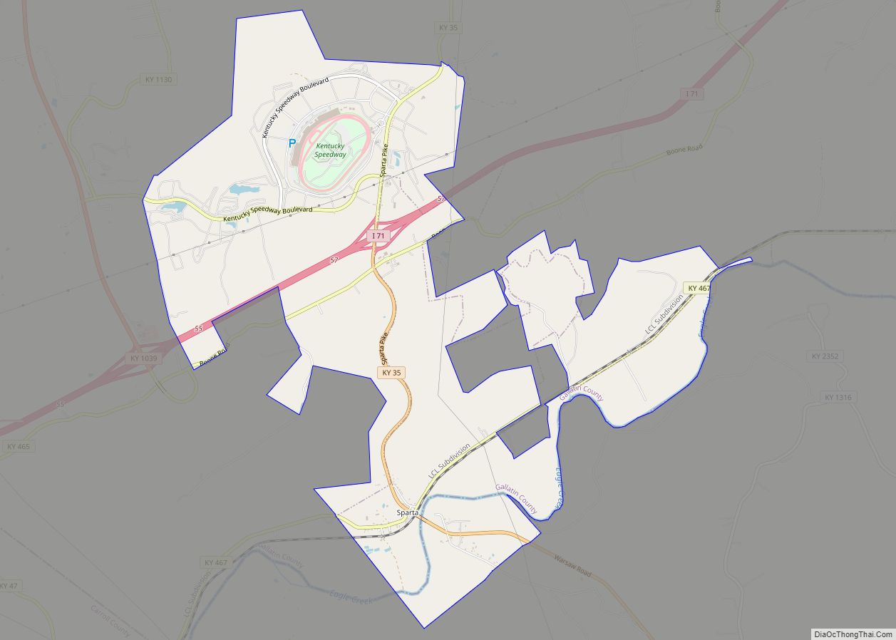
Sparta Road Map

Sparta city Satellite Map
Geography
Sparta is located in southwestern Gallatin County at 38°41′9″N 84°54′26″W / 38.68583°N 84.90722°W / 38.68583; -84.90722 (38.685753, -84.907136). The center of town is in Gallatin County on the north side of Eagle Creek; the city limits extend south across the creek into Owen County and north for 3 miles (5 km) up Kentucky Route 35, past Interstate 71 at Exit 57 and encompassing all of the Kentucky Speedway north of the Interstate. Via KY 35 it is 8 miles (13 km) north to Warsaw, the Gallatin County seat, and south 12 miles (19 km) to Owenton, the Owen County seat. I-71 leads northeast 38 miles (61 km) to Covington and southwest 58 miles (93 km) to Louisville. Kentucky Route 467 crosses KY 35 in the center of Sparta, leading northeast 5.5 miles (8.9 km) to Glencoe and southwest 3 miles (5 km) to Sanders.
According to the United States Census Bureau, the city has a total area of 5.88 square miles (15.24 km), of which 5.85 square miles (15.16 km) is land and 0.03 square miles (0.09 km), or 0.57%, is water. Eagle Creek, which flows past the center of town, continues west to the Kentucky River, a tributary of the Ohio River.
See also
Map of Kentucky State and its subdivision:- Adair
- Allen
- Anderson
- Ballard
- Barren
- Bath
- Bell
- Boone
- Bourbon
- Boyd
- Boyle
- Bracken
- Breathitt
- Breckinridge
- Bullitt
- Butler
- Caldwell
- Calloway
- Campbell
- Carlisle
- Carroll
- Carter
- Casey
- Christian
- Clark
- Clay
- Clinton
- Crittenden
- Cumberland
- Daviess
- Edmonson
- Elliott
- Estill
- Fayette
- Fleming
- Floyd
- Franklin
- Fulton
- Gallatin
- Garrard
- Grant
- Graves
- Grayson
- Green
- Greenup
- Hancock
- Hardin
- Harlan
- Harrison
- Hart
- Henderson
- Henry
- Hickman
- Hopkins
- Jackson
- Jefferson
- Jessamine
- Johnson
- Kenton
- Knott
- Knox
- Larue
- Laurel
- Lawrence
- Lee
- Leslie
- Letcher
- Lewis
- Lincoln
- Livingston
- Logan
- Lyon
- Madison
- Magoffin
- Marion
- Marshall
- Martin
- Mason
- McCracken
- McCreary
- McLean
- Meade
- Menifee
- Mercer
- Metcalfe
- Monroe
- Montgomery
- Morgan
- Muhlenberg
- Nelson
- Nicholas
- Ohio
- Oldham
- Owen
- Owsley
- Pendleton
- Perry
- Pike
- Powell
- Pulaski
- Robertson
- Rockcastle
- Rowan
- Russell
- Scott
- Shelby
- Simpson
- Spencer
- Taylor
- Todd
- Trigg
- Trimble
- Union
- Warren
- Washington
- Wayne
- Webster
- Whitley
- Wolfe
- Woodford
- Alabama
- Alaska
- Arizona
- Arkansas
- California
- Colorado
- Connecticut
- Delaware
- District of Columbia
- Florida
- Georgia
- Hawaii
- Idaho
- Illinois
- Indiana
- Iowa
- Kansas
- Kentucky
- Louisiana
- Maine
- Maryland
- Massachusetts
- Michigan
- Minnesota
- Mississippi
- Missouri
- Montana
- Nebraska
- Nevada
- New Hampshire
- New Jersey
- New Mexico
- New York
- North Carolina
- North Dakota
- Ohio
- Oklahoma
- Oregon
- Pennsylvania
- Rhode Island
- South Carolina
- South Dakota
- Tennessee
- Texas
- Utah
- Vermont
- Virginia
- Washington
- West Virginia
- Wisconsin
- Wyoming