Warsaw is a home rule-class city in and the county seat of Gallatin County, Kentucky, United States, located along the Ohio River. The name was suggested by a riverboat captain, who was reading Thaddeus of Warsaw, by Jane Porter, when the city was being founded.
The city had a population of 1,615 at the 2010 census, down from 1,811 at the 2000 census.
| Name: | Warsaw city |
|---|---|
| LSAD Code: | 25 |
| LSAD Description: | city (suffix) |
| State: | Kentucky |
| County: | Gallatin County |
| Elevation: | 495 ft (151 m) |
| Total Area: | 1.03 sq mi (2.66 km²) |
| Land Area: | 0.96 sq mi (2.49 km²) |
| Water Area: | 0.06 sq mi (0.17 km²) |
| Total Population: | 1,761 |
| Population Density: | 1,830.56/sq mi (706.97/km²) |
| ZIP code: | 41095 |
| Area code: | 859 |
| FIPS code: | 2180706 |
| GNISfeature ID: | 0506241 |
| Website: | www.cityofwarsawky.org |
Online Interactive Map
Click on ![]() to view map in "full screen" mode.
to view map in "full screen" mode.
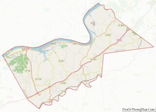
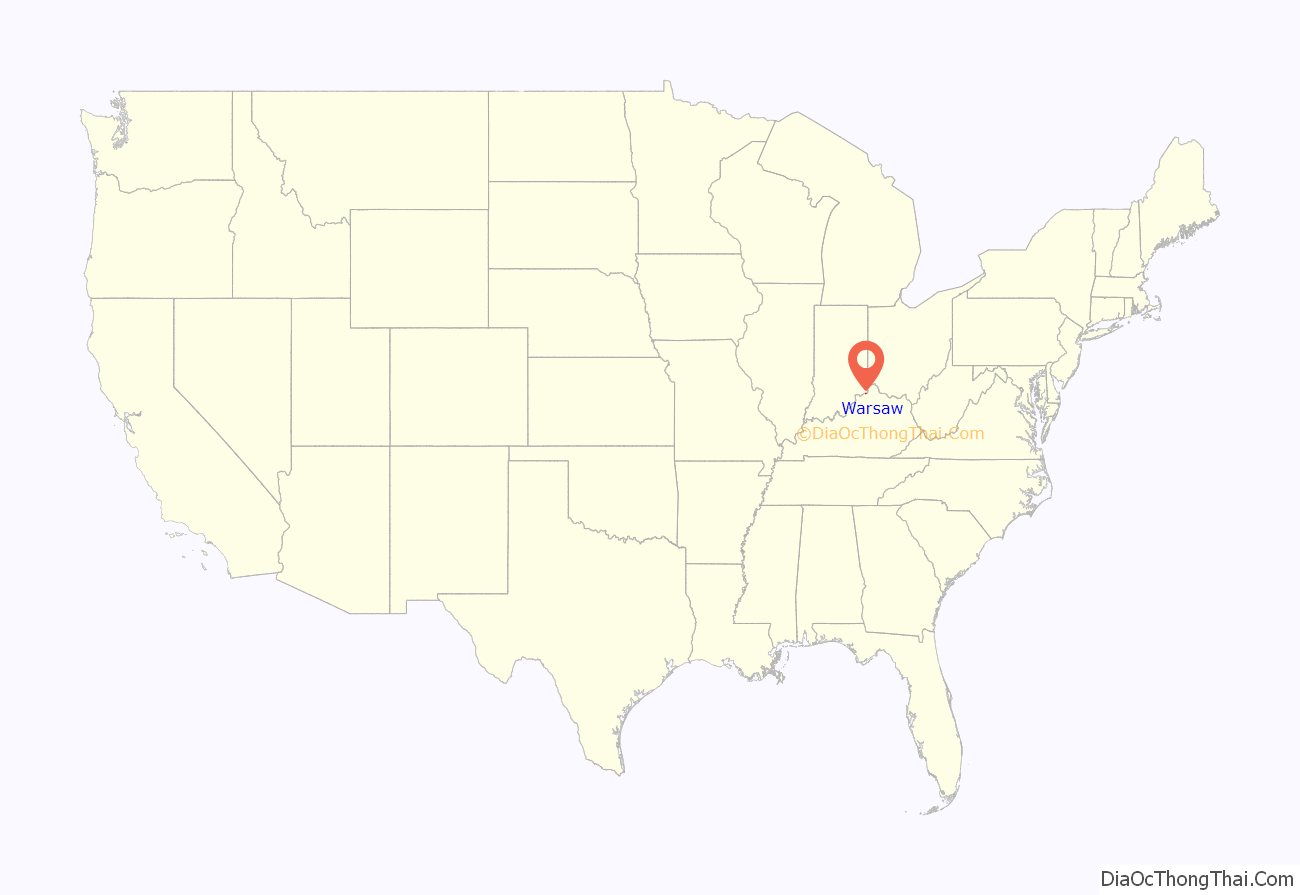
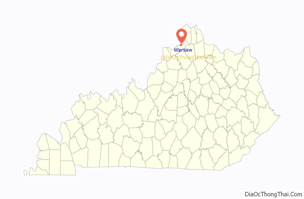
Warsaw location map. Where is Warsaw city?
History
Warsaw began as a landing on the Ohio River in 1798 called “Great Landing”. In 1805, founder Colonel Robert Johnson surveyed and built a road from this landing to his former home in Scott County, Kentucky. The landing soon became a busy shipping port.
In 1814, Colonel Johnson and Henry Yates purchased 200 acres (81 ha) to establish a river town to be named “Fredericksburg”, after Johnson’s hometown in Virginia. By 1815, the town plot was complete. The town extended from the river to Market Street and included 172 numbered lots, each 28.5 by 99 feet (8.7 by 30.2 m).
In 1831, the town was renamed as “Warsaw”, as the US Postal Service did not want it to have the same name as the Virginia city. The post office was established July 18, 1832, with W.F. Clinton as postmaster. In 1837, the Gallatin County seat was moved from Port William (now Carrollton) to Warsaw. The courthouse is now the oldest operating one in the state. The oldest home in Warsaw is the Henry Yates House, a home built of log construction circa 1809.
On December 4, 1868, 80 people died in the Ohio River steamboat collision of the United States and the America near Warsaw.
The Warsaw Historic District was listed on the National Register of Historic Places in 1982. It is roughly bounded by W. High, E. Franklin, Washington, Market, Main, 3rd, 4th and Cross streets. It features Italianate and Gothic Revival architecture.
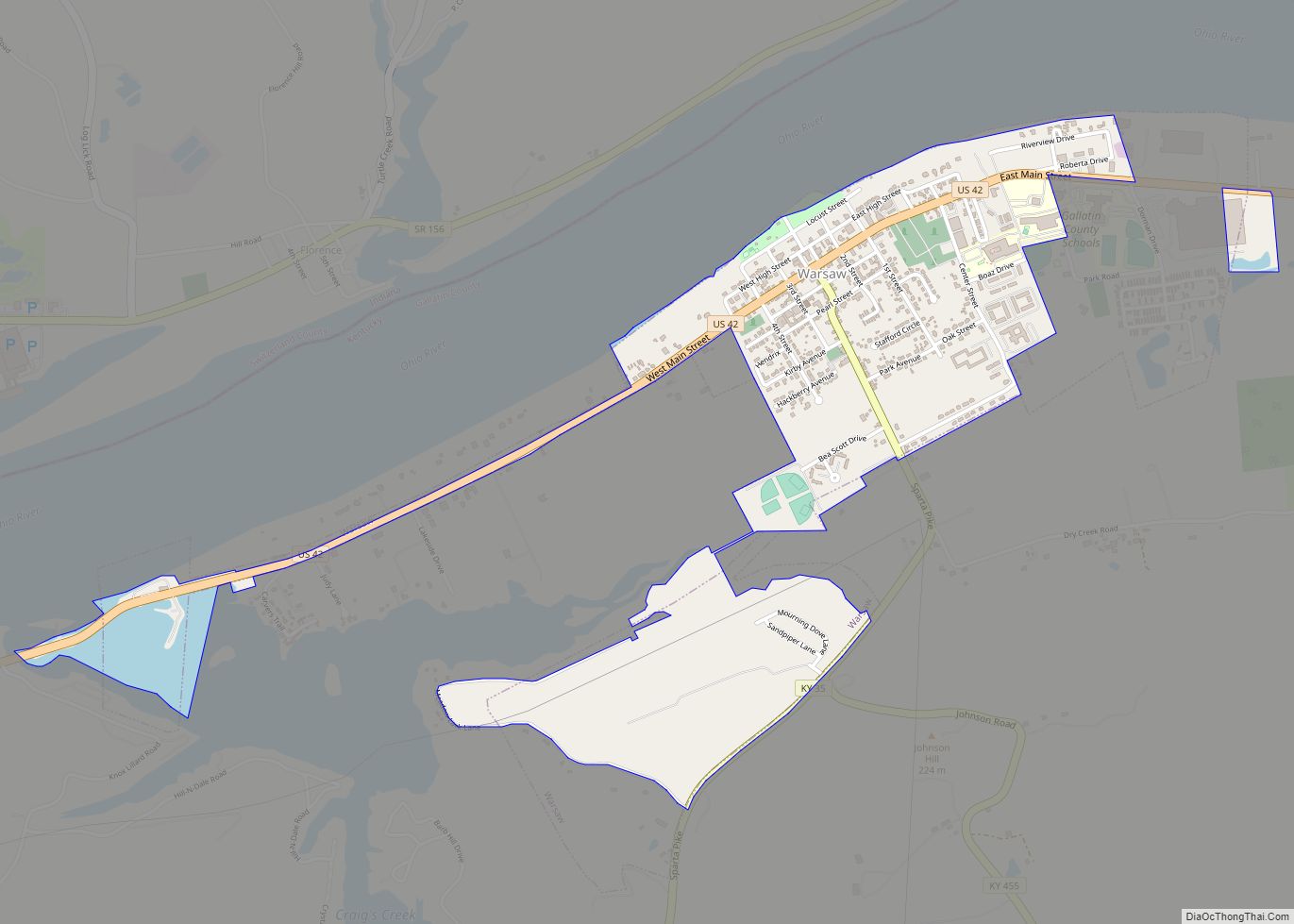
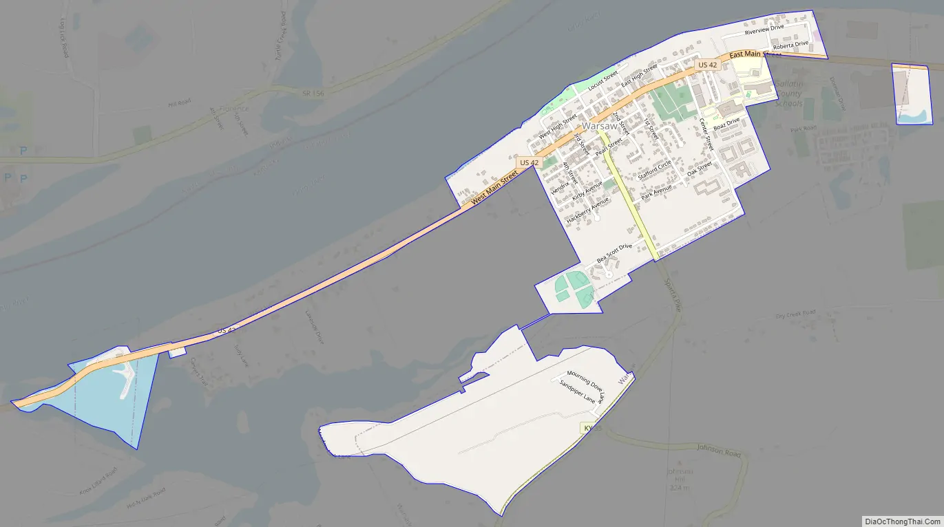
Warsaw Road Map
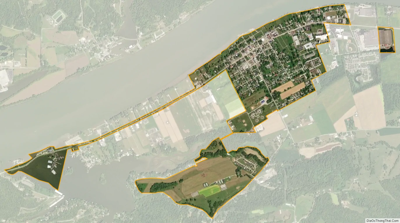
Warsaw city Satellite Map
Geography
Warsaw is located in north-central Gallatin County, along the south bank of the Ohio River. Across the river is the unincorporated community of Florence, Indiana; the closest river crossing is the Markland Dam Bridge, 3.5 miles (5.6 km) to the west (downstream). U.S. Route 42 passes through the center of town, leading northeast 35 miles (56 km) to Covington and southwest along the Ohio River 17 miles (27 km) to Carrollton. Kentucky Route 35 leads south from Warsaw 6 miles (10 km) to Interstate 71 and the Kentucky Speedway in Sparta.
According to the United States Census Bureau, Warsaw has a total area of 0.69 square miles (1.8 km), of which 0.66 square miles (1.7 km) is land and 0.04 square miles (0.1 km), or 6.47%, is water.
See also
Map of Kentucky State and its subdivision:- Adair
- Allen
- Anderson
- Ballard
- Barren
- Bath
- Bell
- Boone
- Bourbon
- Boyd
- Boyle
- Bracken
- Breathitt
- Breckinridge
- Bullitt
- Butler
- Caldwell
- Calloway
- Campbell
- Carlisle
- Carroll
- Carter
- Casey
- Christian
- Clark
- Clay
- Clinton
- Crittenden
- Cumberland
- Daviess
- Edmonson
- Elliott
- Estill
- Fayette
- Fleming
- Floyd
- Franklin
- Fulton
- Gallatin
- Garrard
- Grant
- Graves
- Grayson
- Green
- Greenup
- Hancock
- Hardin
- Harlan
- Harrison
- Hart
- Henderson
- Henry
- Hickman
- Hopkins
- Jackson
- Jefferson
- Jessamine
- Johnson
- Kenton
- Knott
- Knox
- Larue
- Laurel
- Lawrence
- Lee
- Leslie
- Letcher
- Lewis
- Lincoln
- Livingston
- Logan
- Lyon
- Madison
- Magoffin
- Marion
- Marshall
- Martin
- Mason
- McCracken
- McCreary
- McLean
- Meade
- Menifee
- Mercer
- Metcalfe
- Monroe
- Montgomery
- Morgan
- Muhlenberg
- Nelson
- Nicholas
- Ohio
- Oldham
- Owen
- Owsley
- Pendleton
- Perry
- Pike
- Powell
- Pulaski
- Robertson
- Rockcastle
- Rowan
- Russell
- Scott
- Shelby
- Simpson
- Spencer
- Taylor
- Todd
- Trigg
- Trimble
- Union
- Warren
- Washington
- Wayne
- Webster
- Whitley
- Wolfe
- Woodford
- Alabama
- Alaska
- Arizona
- Arkansas
- California
- Colorado
- Connecticut
- Delaware
- District of Columbia
- Florida
- Georgia
- Hawaii
- Idaho
- Illinois
- Indiana
- Iowa
- Kansas
- Kentucky
- Louisiana
- Maine
- Maryland
- Massachusetts
- Michigan
- Minnesota
- Mississippi
- Missouri
- Montana
- Nebraska
- Nevada
- New Hampshire
- New Jersey
- New Mexico
- New York
- North Carolina
- North Dakota
- Ohio
- Oklahoma
- Oregon
- Pennsylvania
- Rhode Island
- South Carolina
- South Dakota
- Tennessee
- Texas
- Utah
- Vermont
- Virginia
- Washington
- West Virginia
- Wisconsin
- Wyoming