Wallins Creek is an unincorporated community and census-designated place (CDP) in Harlan County, Kentucky, United States. The population was 156 at the 2010 census, when it was still a city, having dropped from 257 at the 2000 census.
| Name: | Wallins Creek CDP |
|---|---|
| LSAD Code: | 57 |
| LSAD Description: | CDP (suffix) |
| State: | Kentucky |
| County: | Harlan County |
| Elevation: | 1,135 ft (346 m) |
| Total Area: | 0.56 sq mi (1.44 km²) |
| Land Area: | 0.53 sq mi (1.37 km²) |
| Water Area: | 0.03 sq mi (0.07 km²) |
| Total Population: | 212 |
| Population Density: | 400.00/sq mi (154.30/km²) |
| ZIP code: | 40873 |
| Area code: | 606 |
| FIPS code: | 2180310 |
| GNISfeature ID: | 0506153 |
Online Interactive Map
Click on ![]() to view map in "full screen" mode.
to view map in "full screen" mode.
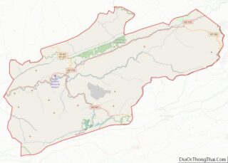
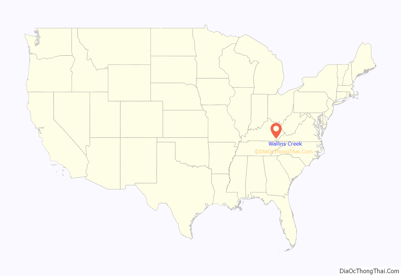
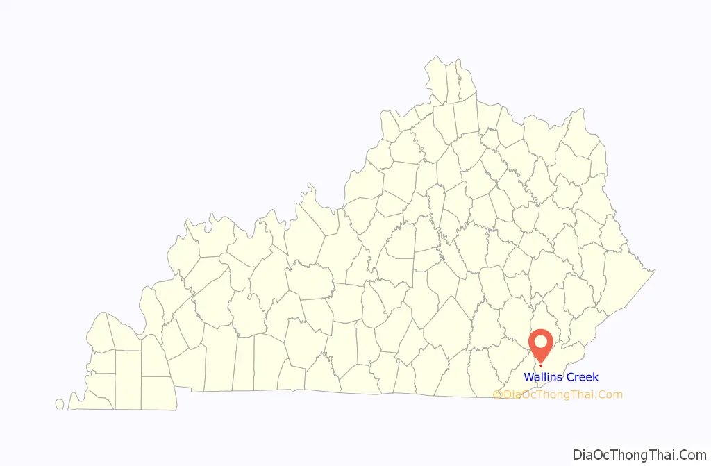
Wallins Creek location map. Where is Wallins Creek CDP?
History
Wallins Creek began life as a coal mining town in 1925; the mine was owned by the Wallins Creek Coal Corporation. The Wallins Creek Baptist Church was established in 1855 with 30 members.
Wallins Creek is home to the Wallins Elementary School, which has been in use since the 1940s and has won several awards in sports and academics, at one point a bustling coal town, the population has declined significantly since 1990.
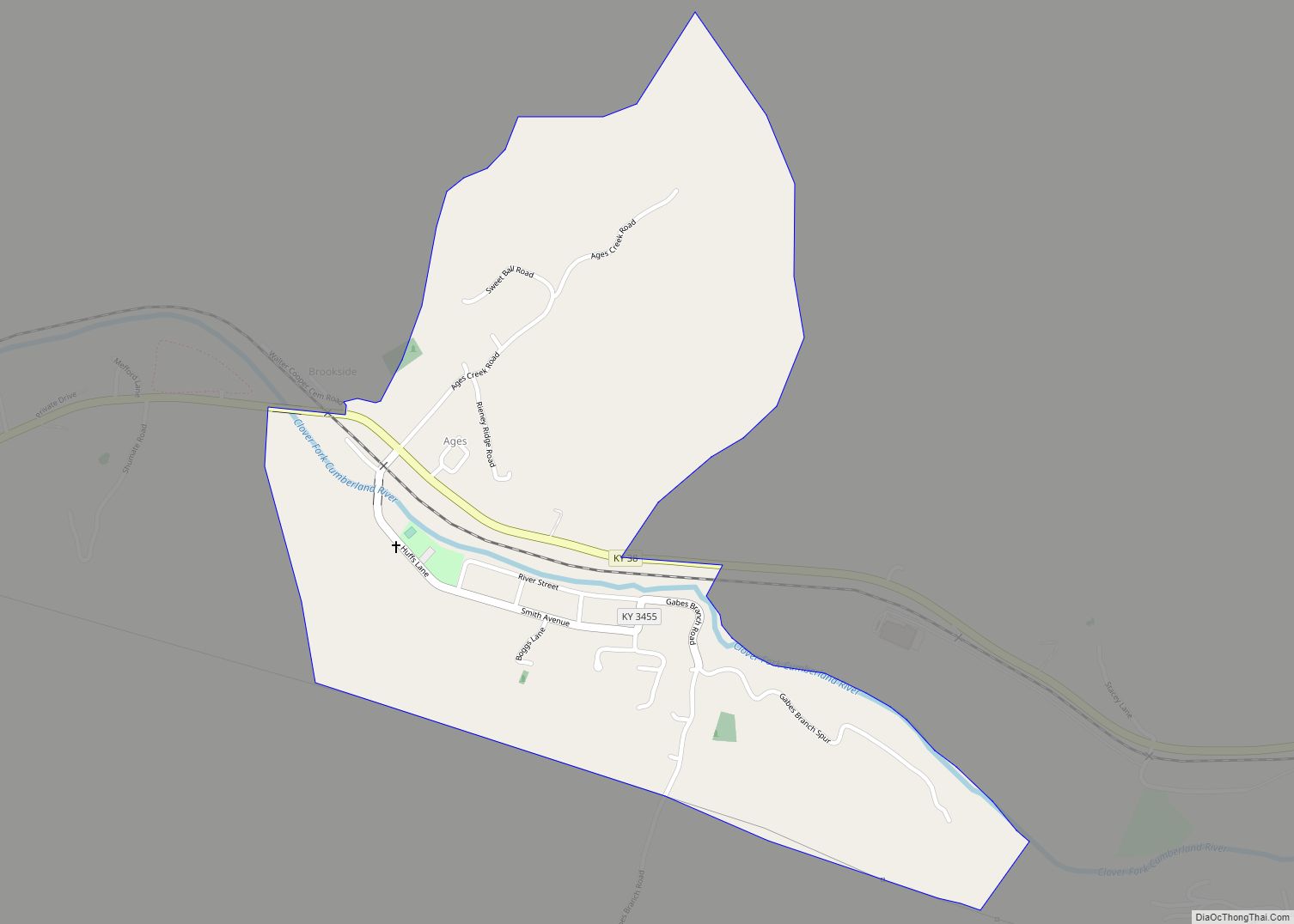
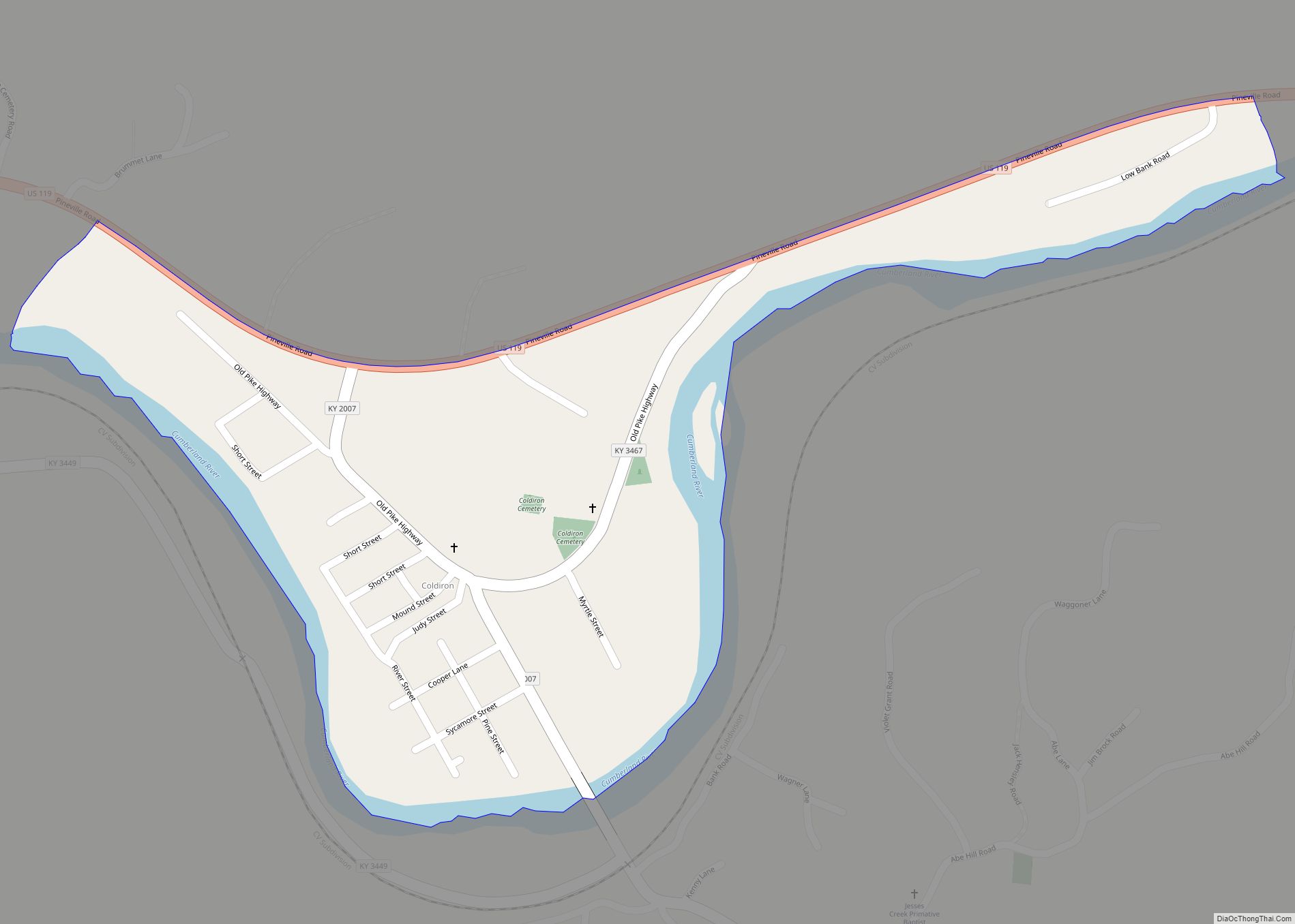
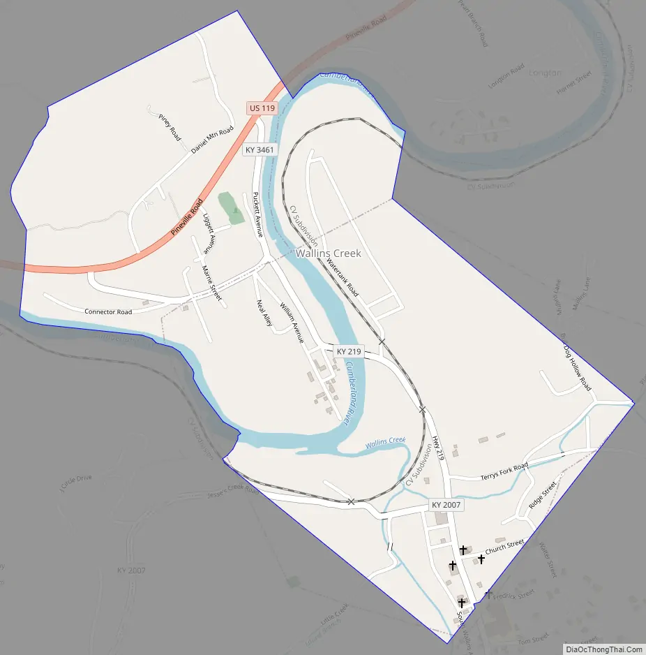
Wallins Creek Road Map
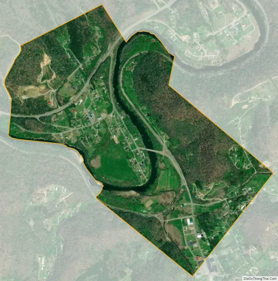
Wallins Creek city Satellite Map
Geography
Wallins Creek is in western Harlan County, in the valley of the Cumberland River. U.S. Route 119 runs through the northern part of the community, leading northwest (upriver) 8 miles (13 km) to Harlan, the county seat, and southwest 23 miles (37 km) to Pineville.
According to the United States Census Bureau, in 2010 the city had a total area of 0.33 square miles (0.86 km), of which 0.02 square miles (0.05 km), or 5.31%, were water.
See also
Map of Kentucky State and its subdivision:- Adair
- Allen
- Anderson
- Ballard
- Barren
- Bath
- Bell
- Boone
- Bourbon
- Boyd
- Boyle
- Bracken
- Breathitt
- Breckinridge
- Bullitt
- Butler
- Caldwell
- Calloway
- Campbell
- Carlisle
- Carroll
- Carter
- Casey
- Christian
- Clark
- Clay
- Clinton
- Crittenden
- Cumberland
- Daviess
- Edmonson
- Elliott
- Estill
- Fayette
- Fleming
- Floyd
- Franklin
- Fulton
- Gallatin
- Garrard
- Grant
- Graves
- Grayson
- Green
- Greenup
- Hancock
- Hardin
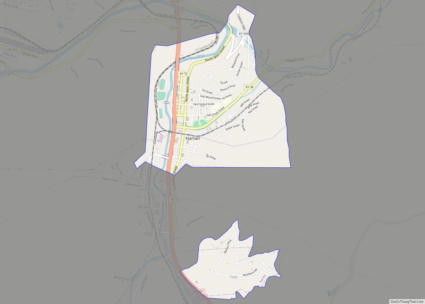
- Harlan
- Harrison
- Hart
- Henderson
- Henry
- Hickman
- Hopkins
- Jackson
- Jefferson
- Jessamine
- Johnson
- Kenton
- Knott
- Knox
- Larue
- Laurel
- Lawrence
- Lee
- Leslie
- Letcher
- Lewis
- Lincoln
- Livingston
- Logan
- Lyon
- Madison
- Magoffin
- Marion
- Marshall
- Martin
- Mason
- McCracken
- McCreary
- McLean
- Meade
- Menifee
- Mercer
- Metcalfe
- Monroe
- Montgomery
- Morgan
- Muhlenberg
- Nelson
- Nicholas
- Ohio
- Oldham
- Owen
- Owsley
- Pendleton
- Perry
- Pike
- Powell
- Pulaski
- Robertson
- Rockcastle
- Rowan
- Russell
- Scott
- Shelby
- Simpson
- Spencer
- Taylor
- Todd
- Trigg
- Trimble
- Union
- Warren
- Washington
- Wayne
- Webster
- Whitley
- Wolfe
- Woodford
- Alabama
- Alaska
- Arizona
- Arkansas
- California
- Colorado
- Connecticut
- Delaware
- District of Columbia
- Florida
- Georgia
- Hawaii
- Idaho
- Illinois
- Indiana
- Iowa
- Kansas
- Kentucky
- Louisiana
- Maine
- Maryland
- Massachusetts
- Michigan
- Minnesota
- Mississippi
- Missouri
- Montana
- Nebraska
- Nevada
- New Hampshire
- New Jersey
- New Mexico
- New York
- North Carolina
- North Dakota
- Ohio
- Oklahoma
- Oregon
- Pennsylvania
- Rhode Island
- South Carolina
- South Dakota
- Tennessee
- Texas
- Utah
- Vermont
- Virginia
- Washington
- West Virginia
- Wisconsin
- Wyoming