Wheelwright is a home rule-class city in Floyd County, Kentucky, United States. The population was 780 at the 2010 census, down from 1,042 in 2000.
| Name: | Wheelwright city |
|---|---|
| LSAD Code: | 25 |
| LSAD Description: | city (suffix) |
| State: | Kentucky |
| County: | Floyd County |
| Incorporated: | February 6, 1917 |
| Elevation: | 1,138 ft (347 m) |
| Total Area: | 1.76 sq mi (4.57 km²) |
| Land Area: | 1.76 sq mi (4.57 km²) |
| Water Area: | 0.00 sq mi (0.00 km²) |
| Total Population: | 509 |
| Population Density: | 288.71/sq mi (111.45/km²) |
| ZIP code: | 41669 |
| Area code: | 606 |
| FIPS code: | 2182272 |
| GNISfeature ID: | 0506542 |
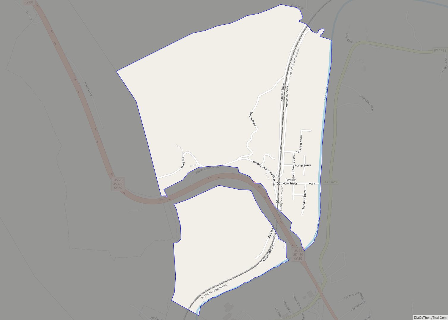
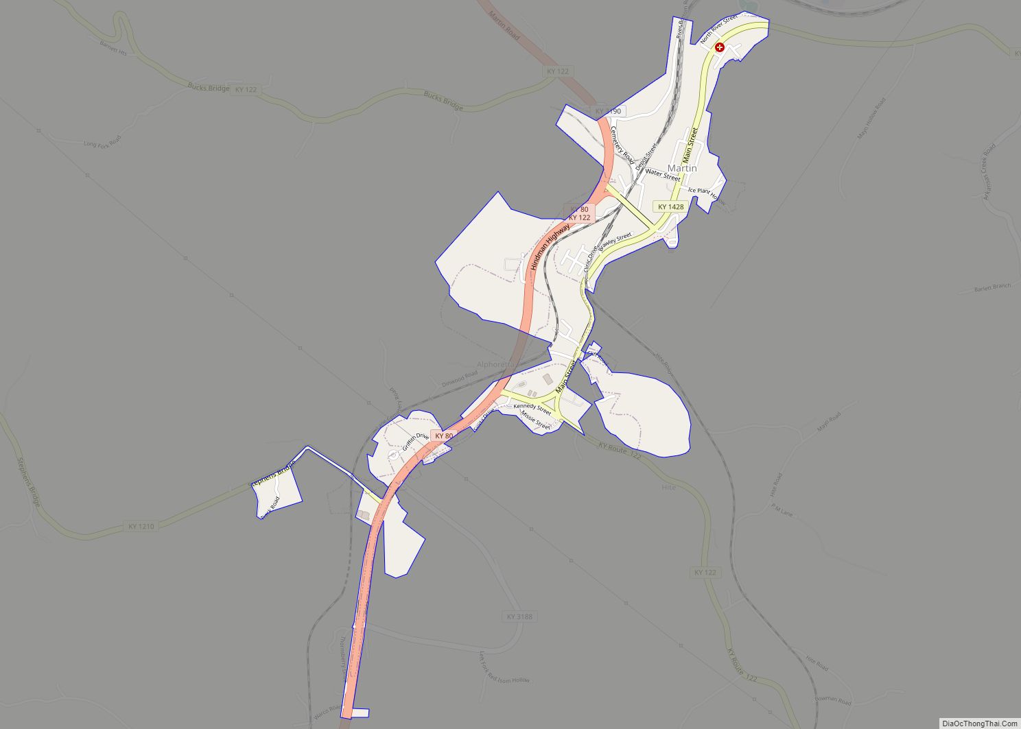
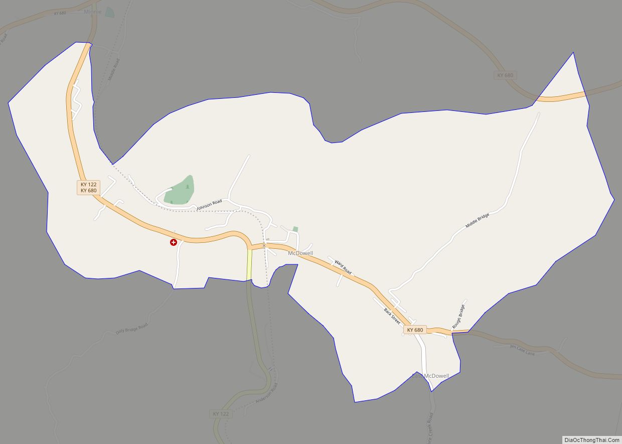
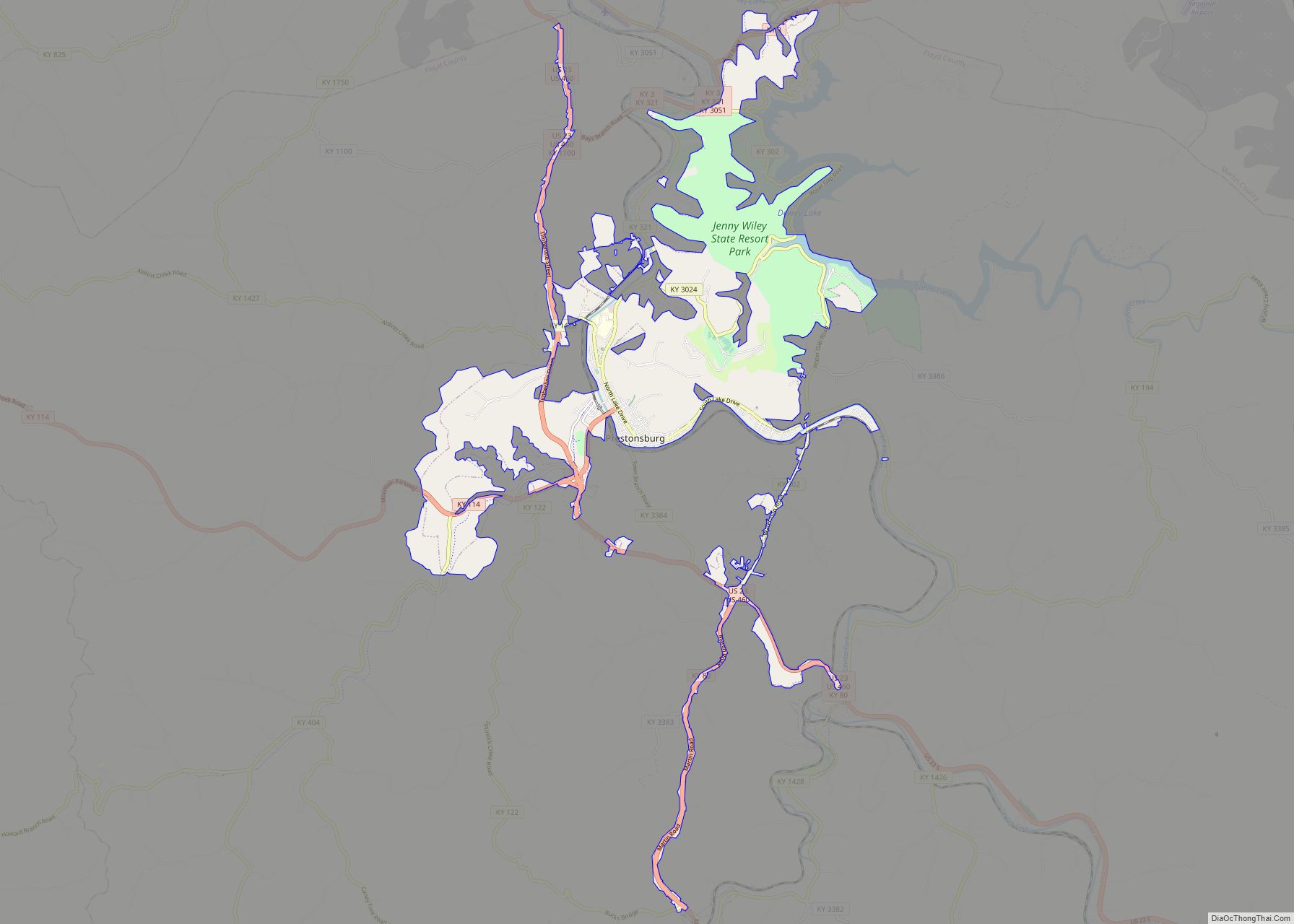
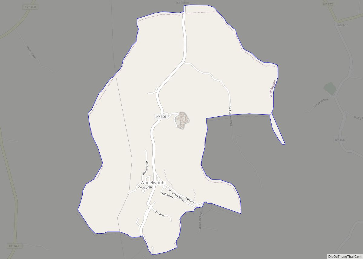
Online Interactive Map
Click on ![]() to view map in "full screen" mode.
to view map in "full screen" mode.
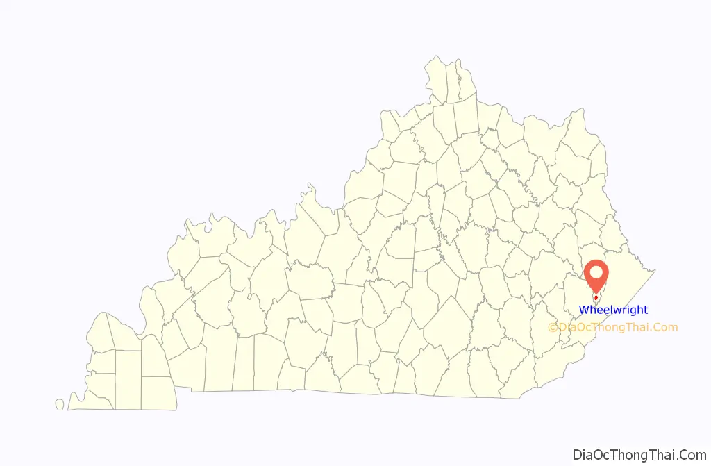
Wheelwright location map. Where is Wheelwright city?

History
Founded by the Elk Horn Coal Company in 1916, it was named for the company’s president at that time, Jere H. Wheelwright. Elk Horn leased its mines from the Consolidation Coal. In 1930, Consolidation sold the Wheelwright coal camp to Inland Steel. In 1966, Inland Steel sold the camp to Island Creek Coal. The mine closed in the 1970s. After the mine was abandoned, the Kentucky Housing Corporation purchased the town, rehabilitated the homes, and sold the homes to residents.
Wheelwright was home to one of the pack horse libraries in the 1930s and early 1940s.
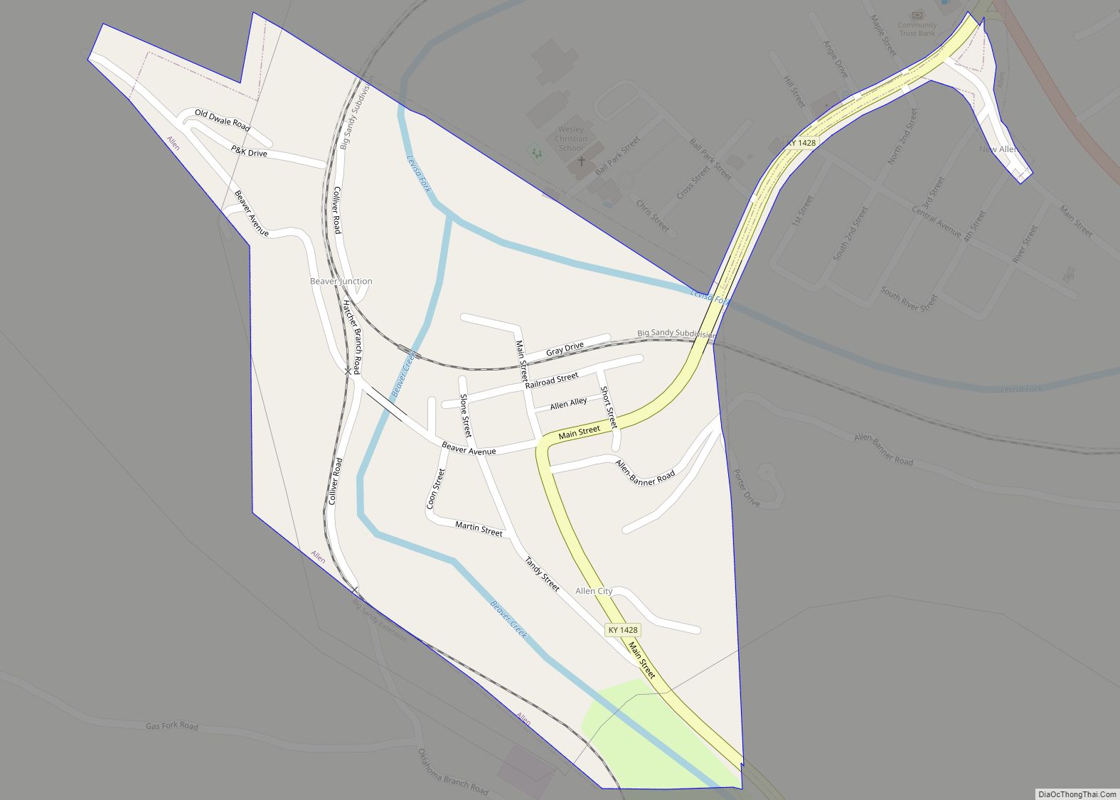
Wheelwright Road Map
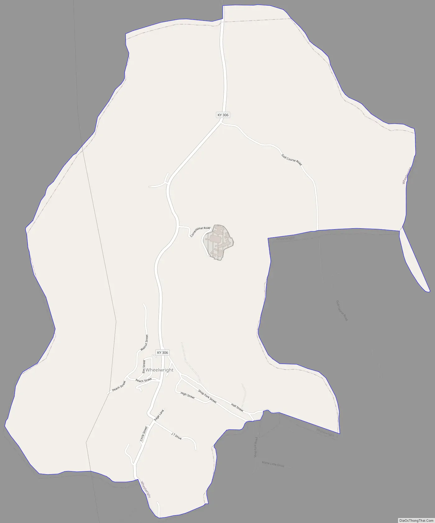
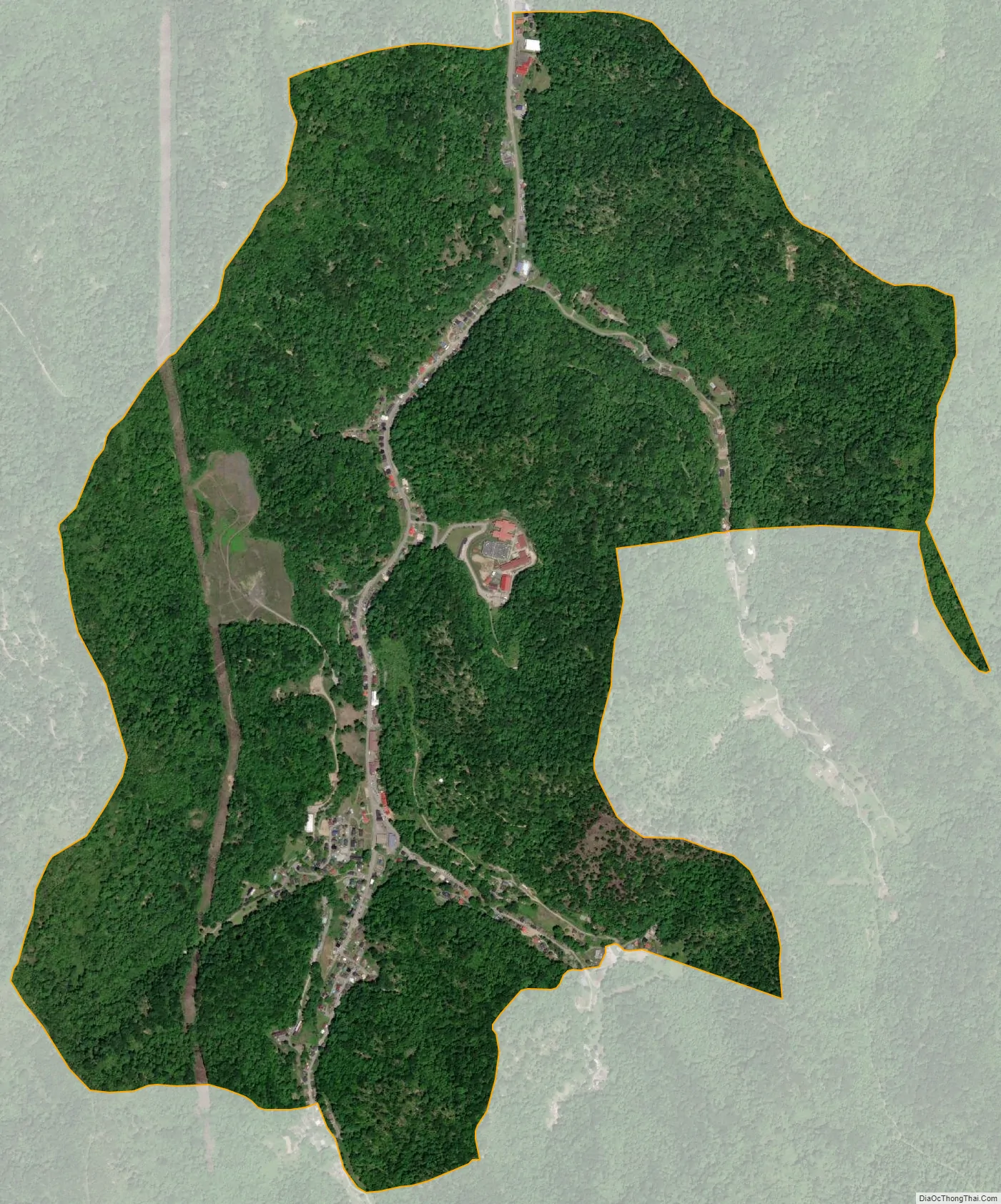
Wheelwright city Satellite Map
Geography
Wheelwright is located at the southern end of Floyd County at 37°19′53″N 82°43′9″W / 37.33139°N 82.71917°W / 37.33139; -82.71917 (37.331465, -82.719064), in the valley of the Right Fork Otter Creek. According to the United States Census Bureau, the city has a total area of 1.8 square miles (4.6 km), all land.
There is just one way in and out of the city, via the Junction Bridge, located in Bypro, also referred to as “Wheelwright Junction”, on state route 122. The original metal structure was replaced by concrete in 1959. This bridge is now known as the Timothy Hall Memorial Bridge, in honor of City Commissioner Timothy Hall, who died in a car crash.
See also
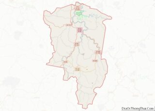
Map of Kentucky State and its subdivision:- Adair
- Allen
- Anderson
- Ballard
- Barren
- Bath
- Bell
- Boone
- Bourbon
- Boyd
- Boyle
- Bracken
- Breathitt
- Breckinridge
- Bullitt
- Butler
- Caldwell
- Calloway
- Campbell
- Carlisle
- Carroll
- Carter
- Casey
- Christian
- Clark
- Clay
- Clinton
- Crittenden
- Cumberland
- Daviess
- Edmonson
- Elliott
- Estill
- Fayette
- Fleming
- Floyd
- Franklin
- Fulton
- Gallatin
- Garrard
- Grant
- Graves
- Grayson
- Green
- Greenup
- Hancock
- Hardin
- Harlan
- Harrison
- Hart
- Henderson
- Henry
- Hickman
- Hopkins
- Jackson
- Jefferson
- Jessamine
- Johnson
- Kenton
- Knott
- Knox
- Larue
- Laurel
- Lawrence
- Lee
- Leslie
- Letcher
- Lewis
- Lincoln
- Livingston
- Logan
- Lyon
- Madison
- Magoffin
- Marion
- Marshall
- Martin
- Mason
- McCracken
- McCreary
- McLean
- Meade
- Menifee
- Mercer
- Metcalfe
- Monroe
- Montgomery
- Morgan
- Muhlenberg
- Nelson
- Nicholas
- Ohio
- Oldham
- Owen
- Owsley
- Pendleton
- Perry
- Pike
- Powell
- Pulaski
- Robertson
- Rockcastle
- Rowan
- Russell
- Scott
- Shelby
- Simpson
- Spencer
- Taylor
- Todd
- Trigg
- Trimble
- Union
- Warren
- Washington
- Wayne
- Webster
- Whitley
- Wolfe
- Woodford
- Alabama
- Alaska
- Arizona
- Arkansas
- California
- Colorado
- Connecticut
- Delaware
- District of Columbia
- Florida
- Georgia
- Hawaii
- Idaho
- Illinois
- Indiana
- Iowa
- Kansas
- Kentucky
- Louisiana
- Maine
- Maryland
- Massachusetts
- Michigan
- Minnesota
- Mississippi
- Missouri
- Montana
- Nebraska
- Nevada
- New Hampshire
- New Jersey
- New Mexico
- New York
- North Carolina
- North Dakota
- Ohio
- Oklahoma
- Oregon
- Pennsylvania
- Rhode Island
- South Carolina
- South Dakota
- Tennessee
- Texas
- Utah
- Vermont
- Virginia
- Washington
- West Virginia
- Wisconsin
- Wyoming