Cordele is a city in and the county seat of Crisp County, Georgia. The population was 11,165 at the 2010 census.
Cordele calls itself the watermelon capital of the world.
| Name: | Cordele city |
|---|---|
| LSAD Code: | 25 |
| LSAD Description: | city (suffix) |
| State: | Georgia |
| County: | Crisp County |
| Elevation: | 315 ft (96 m) |
| Total Area: | 10.51 sq mi (27.21 km²) |
| Land Area: | 10.42 sq mi (26.99 km²) |
| Water Area: | 0.08 sq mi (0.22 km²) |
| Total Population: | 10,220 |
| Population Density: | 980.62/sq mi (378.61/km²) |
| Area code: | 229 |
| FIPS code: | 1319616 |
| GNISfeature ID: | 0312971 |
| Website: | www.cityofcordele.com |
Online Interactive Map
Click on ![]() to view map in "full screen" mode.
to view map in "full screen" mode.
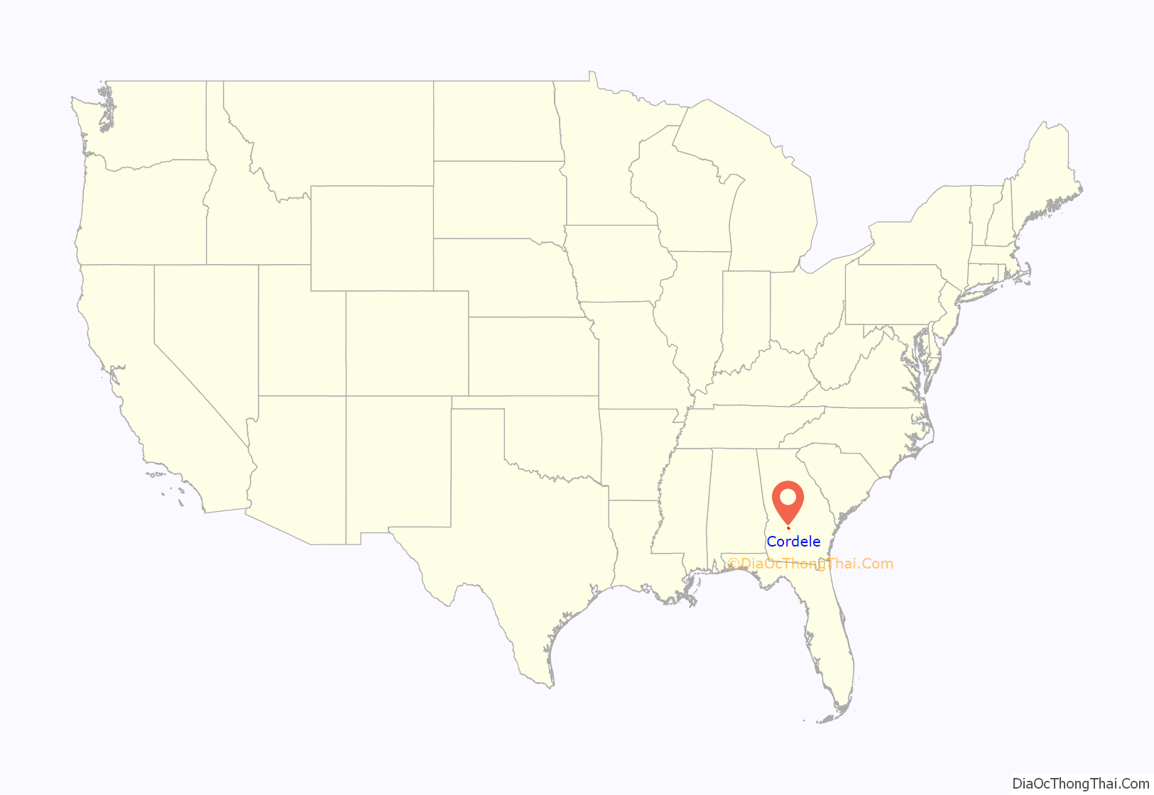
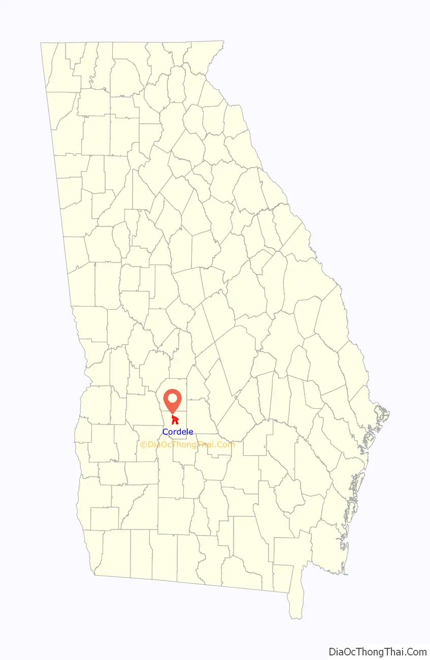
Cordele location map. Where is Cordele city?
History
19th century
Cordele was incorporated on January 1, 1888, and named for Cordelia Hawkins, eldest daughter of Colonel Samuel Hawkins, the president of the Savannah, Americus and Montgomery Railway.
In November 1864, the area that is now Cordele served as the temporary capital of Georgia. During the last days of the Confederacy, Georgia’s war governor Joseph E. Brown used his rural farmhouse to escape the wrath of Sherman’s March to the Sea. During that time, the farmhouse, which Brown called “Dooly County Place,” served as the official capital for only a few days. It was replaced in 1890 by the Suwanee Hotel, located in what became downtown Cordele. The hotel was destroyed by a fire in late 1994 and was rebuilt.
Cordele was founded in 1888 by J.E.D. Shipp of Americus. The town was located at the junction of two major railroads – the Savannah, Americus & Montgomery line, and the Georgia Southern & Florida. As the railroads brought more people and business to the newly settled territory, Cordele experienced phenomenal growth. Before 1905 Cordele was located in southern Dooly County, 9 miles (14 km) from the county seat in Vienna.
20th century
With Cordele’s continued progress, many in the community felt the need for a seat of government to be closer than Vienna. Crisp County was formed in 1905 by taking a portion of southern Dooly County, and Cordele became its county seat.
By 1915, Cordele was home to several industries including an ice-making plant, mills for processing cotton products into cloth and oil, a fertilizer factory, and other small manufacturing outfits.
By August 1930, Cordele housed the Crisp County Hydroelectric System, the first county-owned electric system. Located on the Flint River, the hydroelectric plant continues to operate, and the resulting Lake Blackshear has attracted residents to its waterfront properties.
On April 2, 1936, a tornado struck Cordele, killing 23 people.
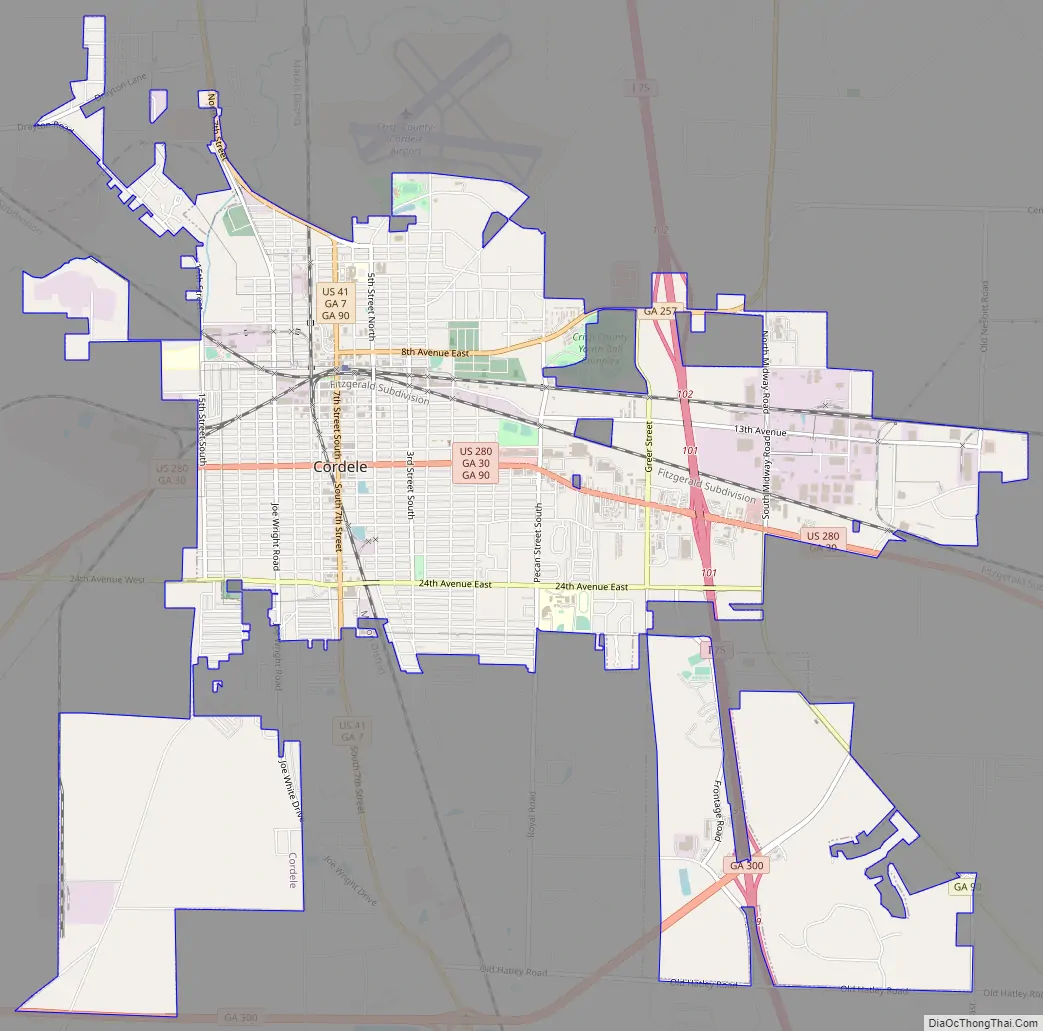
Cordele Road Map
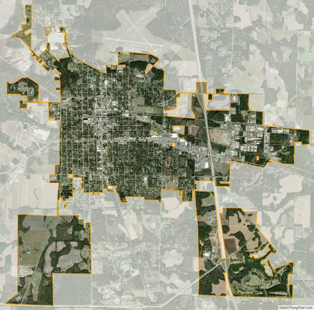
Cordele city Satellite Map
Geography
Cordele is located north of the center of Crisp County at 31°57′51″N 83°46′38″W / 31.96417°N 83.77722°W / 31.96417; -83.77722 (31.964178, -83.777277). U.S. Route 41 passes through the city as Seventh Street and leads north 9 miles (14 km) to Vienna and south 20 miles (32 km) to Ashburn. U.S. Route 280 (16th Avenue) crosses US 41 in the center of the city and leads east 29 miles (47 km) to Abbeville and west 31 miles (50 km) to Americus. Interstate 75 passes through the east side of the city, with access from exits 99, 101, and 102, and leads 65 miles (105 km) north to Macon and 103 miles (166 km) south to the Florida state line. State Route 300 leads from the south side of the city 37 miles (60 km) southwest to Albany.
According to the U.S. Census Bureau, Cordele has a total area of 10.2 square miles (26.5 km), of which 10.2 square miles (26.3 km) is land and 0.077 square miles (0.2 km), or 0.82%, is water.
Climate
Cordele has a humid subtropical climate (Köppen climate classification Cfa), with mild winters and hot, humid summers.
See also
Map of Georgia State and its subdivision:- Appling
- Atkinson
- Bacon
- Baker
- Baldwin
- Banks
- Barrow
- Bartow
- Ben Hill
- Berrien
- Bibb
- Bleckley
- Brantley
- Brooks
- Bryan
- Bulloch
- Burke
- Butts
- Calhoun
- Camden
- Candler
- Carroll
- Catoosa
- Charlton
- Chatham
- Chattahoochee
- Chattooga
- Cherokee
- Clarke
- Clay
- Clayton
- Clinch
- Cobb
- Coffee
- Colquitt
- Columbia
- Cook
- Coweta
- Crawford
- Crisp
- Dade
- Dawson
- Decatur
- DeKalb
- Dodge
- Dooly
- Dougherty
- Douglas
- Early
- Echols
- Effingham
- Elbert
- Emanuel
- Evans
- Fannin
- Fayette
- Floyd
- Forsyth
- Franklin
- Fulton
- Gilmer
- Glascock
- Glynn
- Gordon
- Grady
- Greene
- Gwinnett
- Habersham
- Hall
- Hancock
- Haralson
- Harris
- Hart
- Heard
- Henry
- Houston
- Irwin
- Jackson
- Jasper
- Jeff Davis
- Jefferson
- Jenkins
- Johnson
- Jones
- Lamar
- Lanier
- Laurens
- Lee
- Liberty
- Lincoln
- Long
- Lowndes
- Lumpkin
- Macon
- Madison
- Marion
- McDuffie
- McIntosh
- Meriwether
- Miller
- Mitchell
- Monroe
- Montgomery
- Morgan
- Murray
- Muscogee
- Newton
- Oconee
- Oglethorpe
- Paulding
- Peach
- Pickens
- Pierce
- Pike
- Polk
- Pulaski
- Putnam
- Quitman
- Rabun
- Randolph
- Richmond
- Rockdale
- Schley
- Screven
- Seminole
- Spalding
- Stephens
- Stewart
- Sumter
- Talbot
- Taliaferro
- Tattnall
- Taylor
- Telfair
- Terrell
- Thomas
- Tift
- Toombs
- Towns
- Treutlen
- Troup
- Turner
- Twiggs
- Union
- Upson
- Walker
- Walton
- Ware
- Warren
- Washington
- Wayne
- Webster
- Wheeler
- White
- Whitfield
- Wilcox
- Wilkes
- Wilkinson
- Worth
- Alabama
- Alaska
- Arizona
- Arkansas
- California
- Colorado
- Connecticut
- Delaware
- District of Columbia
- Florida
- Georgia
- Hawaii
- Idaho
- Illinois
- Indiana
- Iowa
- Kansas
- Kentucky
- Louisiana
- Maine
- Maryland
- Massachusetts
- Michigan
- Minnesota
- Mississippi
- Missouri
- Montana
- Nebraska
- Nevada
- New Hampshire
- New Jersey
- New Mexico
- New York
- North Carolina
- North Dakota
- Ohio
- Oklahoma
- Oregon
- Pennsylvania
- Rhode Island
- South Carolina
- South Dakota
- Tennessee
- Texas
- Utah
- Vermont
- Virginia
- Washington
- West Virginia
- Wisconsin
- Wyoming


