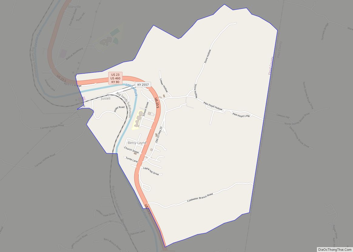
Betsy Layne is a census-designated place (CDP) and coal town in Floyd County, Kentucky, United States. It was established in 1875 along the Levisa Fork. The post office opened on May 1, 1908, with Clayton S. Hitchins as postmaster. Its ZIP code is 41605. The 2010 census reported the population to be 688. Stage actress Bette Henritze (born 1924) was a native of Betsy Layne.
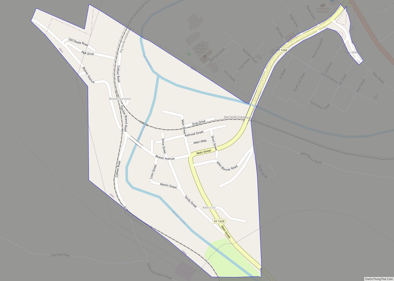
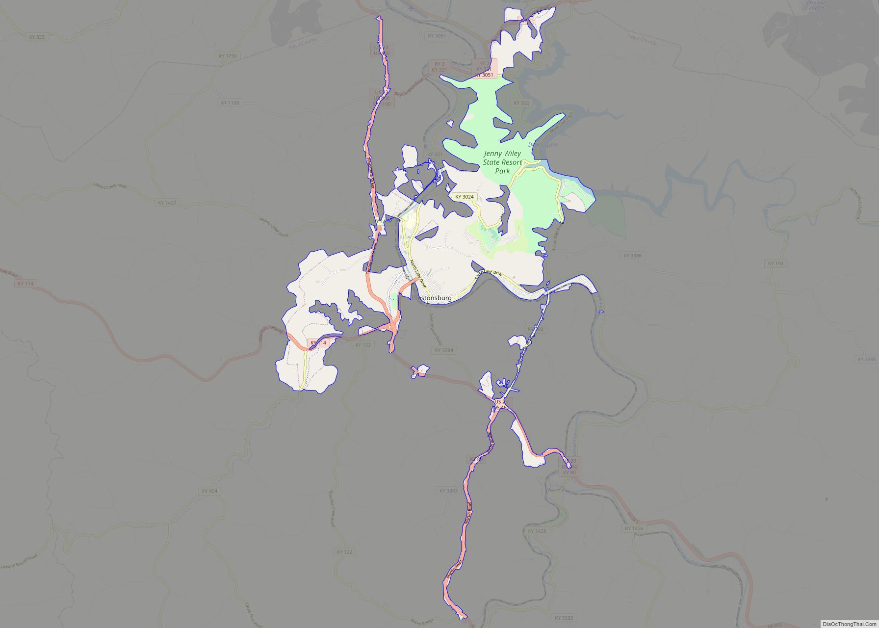
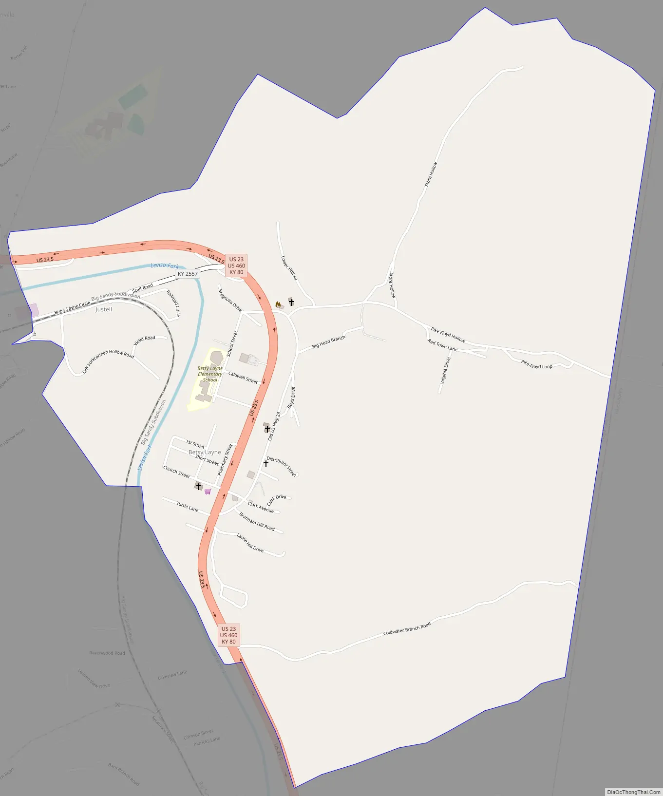
Betsy Layne is located along the eastern border of Floyd County at 37°33′05″N 82°38′01″W / 37.55139°N 82.63361°W / 37.55139; -82.63361 (37.5514880, -82.6334884) and at an elevation of 650 ft (198 m). It is bordered to the east by Pike County. U.S. Route 23 passes through the community, leading northwest 13 miles (21 km) to Prestonsburg and southeast 12 miles (19 km) to Pikeville.
In addition to being treated as a census-designated place by the United States Census Bureau, they also consider Betsy Layne and the nearby community of Stanville as a combined Census County Division (CCD). It had a population of 4,601 at the 2020 census. The CCD also includes the communities of Banner, Dana, Harold, Ivel and Tram.
| Name: | Betsy Layne CDP |
|---|---|
| LSAD Code: | 57 |
| LSAD Description: | CDP (suffix) |
| State: | Kentucky |
| County: | Floyd County |
| Elevation: | 650 ft (200 m) |
| Total Area: | 1.83 sq mi (4.75 km²) |
| Land Area: | 1.81 sq mi (4.68 km²) |
| Water Area: | 0.03 sq mi (0.07 km²) |
| Total Population: | 651 |
| Population Density: | 360.07/sq mi (138.99/km²) |
| ZIP code: | 41605 |
| FIPS code: | 2106220 |
| GNISfeature ID: | 487043 |
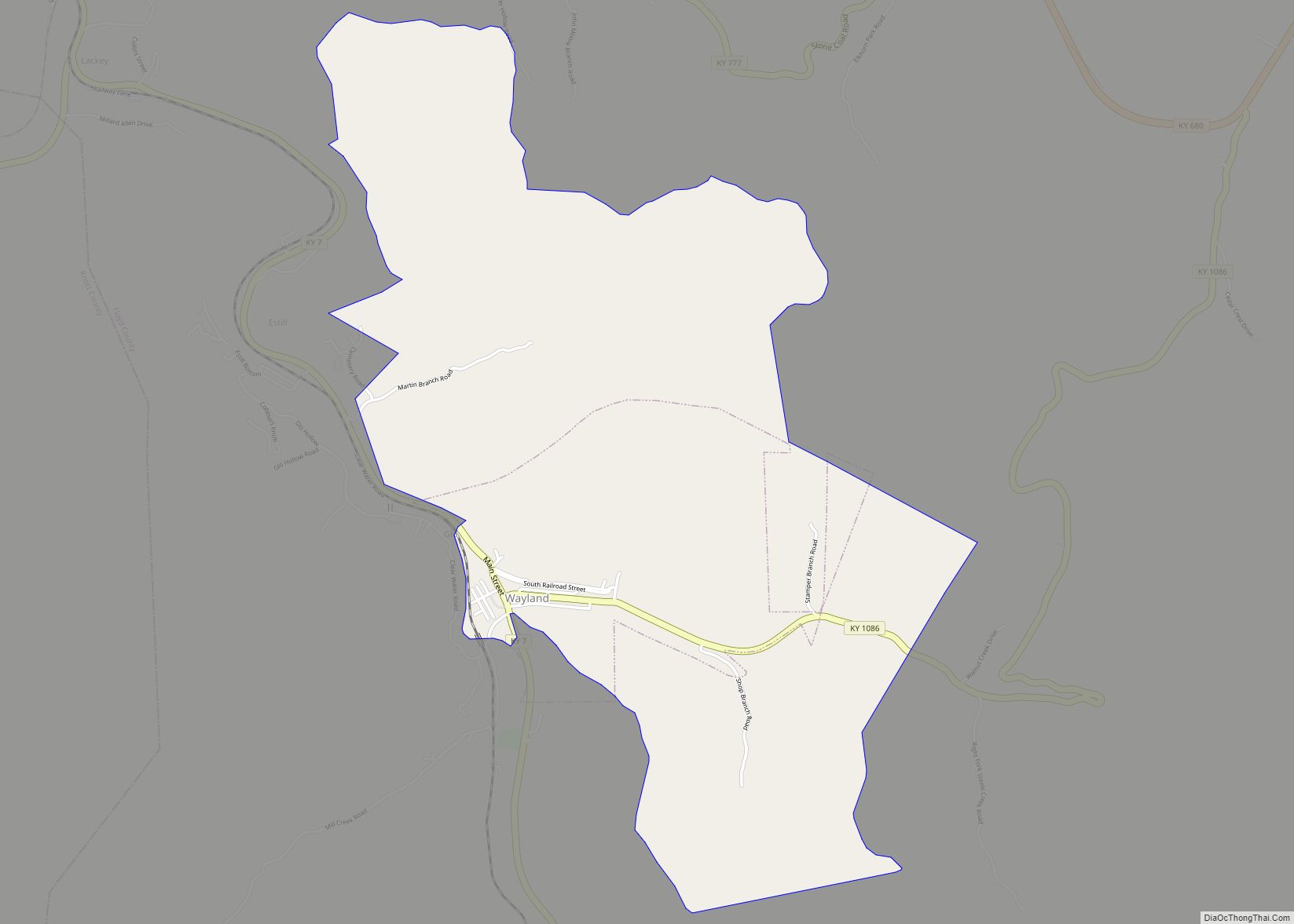
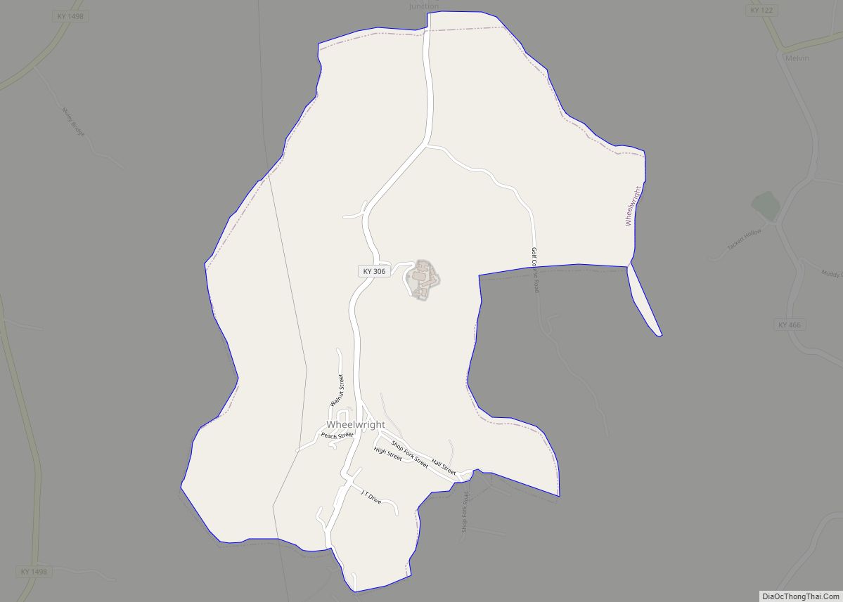
Online Interactive Map
Click on ![]() to view map in "full screen" mode.
to view map in "full screen" mode.
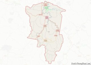
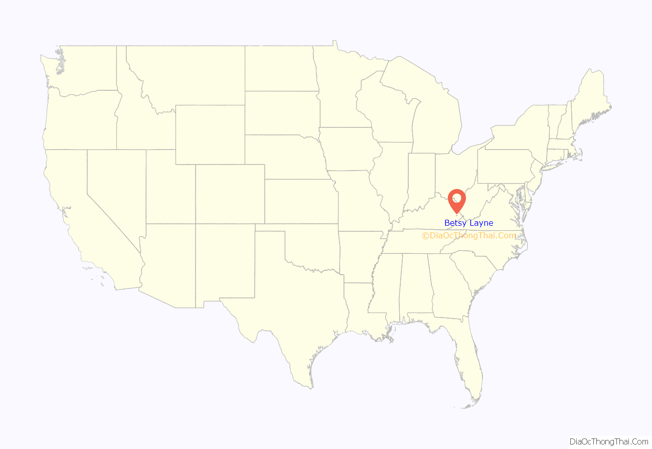
Betsy Layne location map. Where is Betsy Layne CDP?
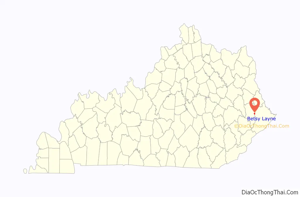
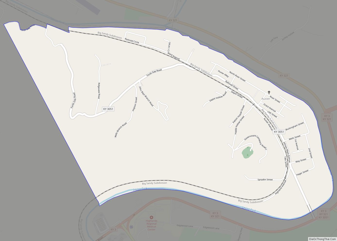
Betsy Layne Road Map
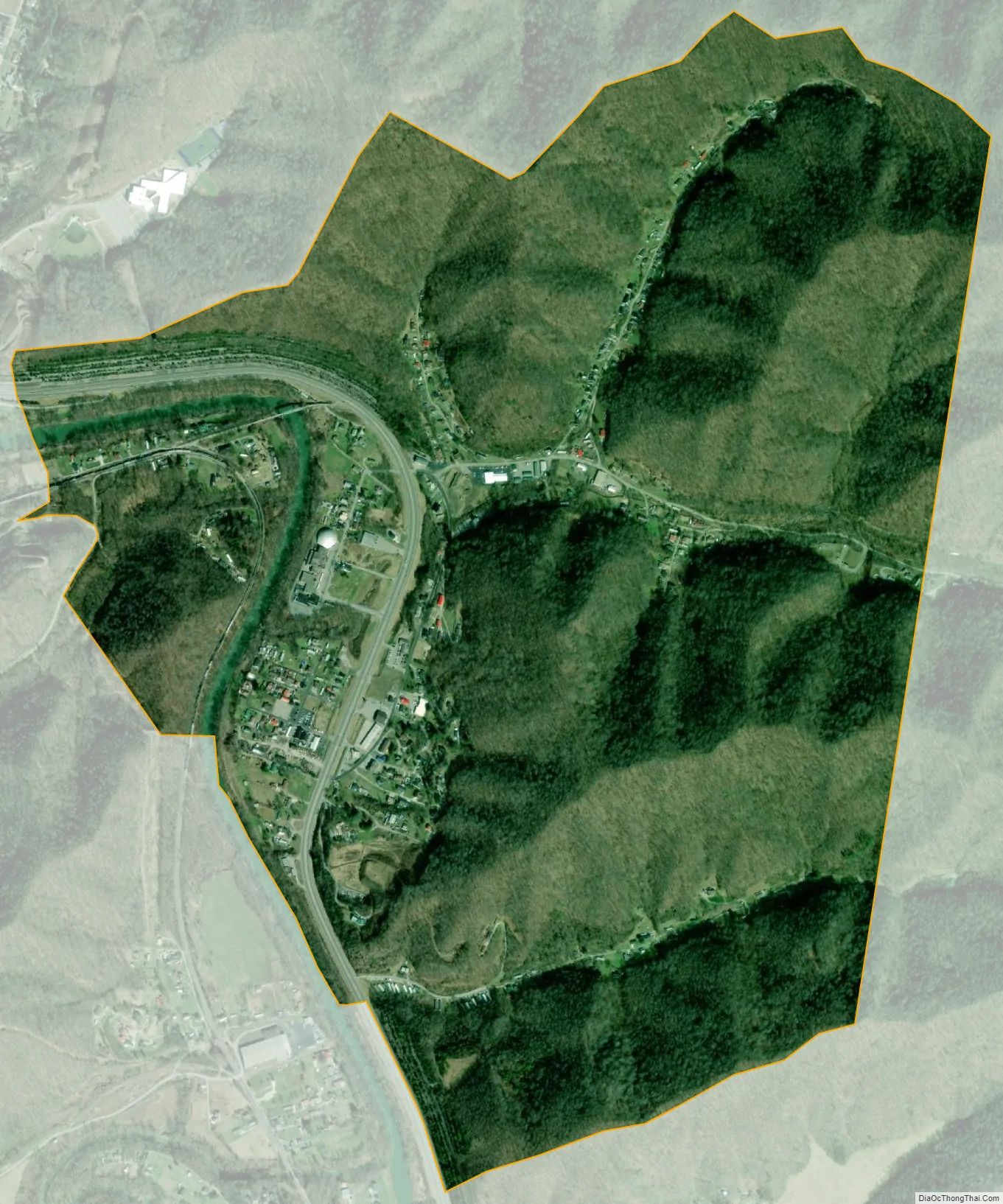
Betsy Layne city Satellite Map
See also
Map of Kentucky State and its subdivision:- Adair
- Allen
- Anderson
- Ballard
- Barren
- Bath
- Bell
- Boone
- Bourbon
- Boyd
- Boyle
- Bracken
- Breathitt
- Breckinridge
- Bullitt
- Butler
- Caldwell
- Calloway
- Campbell
- Carlisle
- Carroll
- Carter
- Casey
- Christian
- Clark
- Clay
- Clinton
- Crittenden
- Cumberland
- Daviess
- Edmonson
- Elliott
- Estill
- Fayette
- Fleming
- Floyd
- Franklin
- Fulton
- Gallatin
- Garrard
- Grant
- Graves
- Grayson
- Green
- Greenup
- Hancock
- Hardin
- Harlan
- Harrison
- Hart
- Henderson
- Henry
- Hickman
- Hopkins
- Jackson
- Jefferson
- Jessamine
- Johnson
- Kenton
- Knott
- Knox
- Larue
- Laurel
- Lawrence
- Lee
- Leslie
- Letcher
- Lewis
- Lincoln
- Livingston
- Logan
- Lyon
- Madison
- Magoffin
- Marion
- Marshall
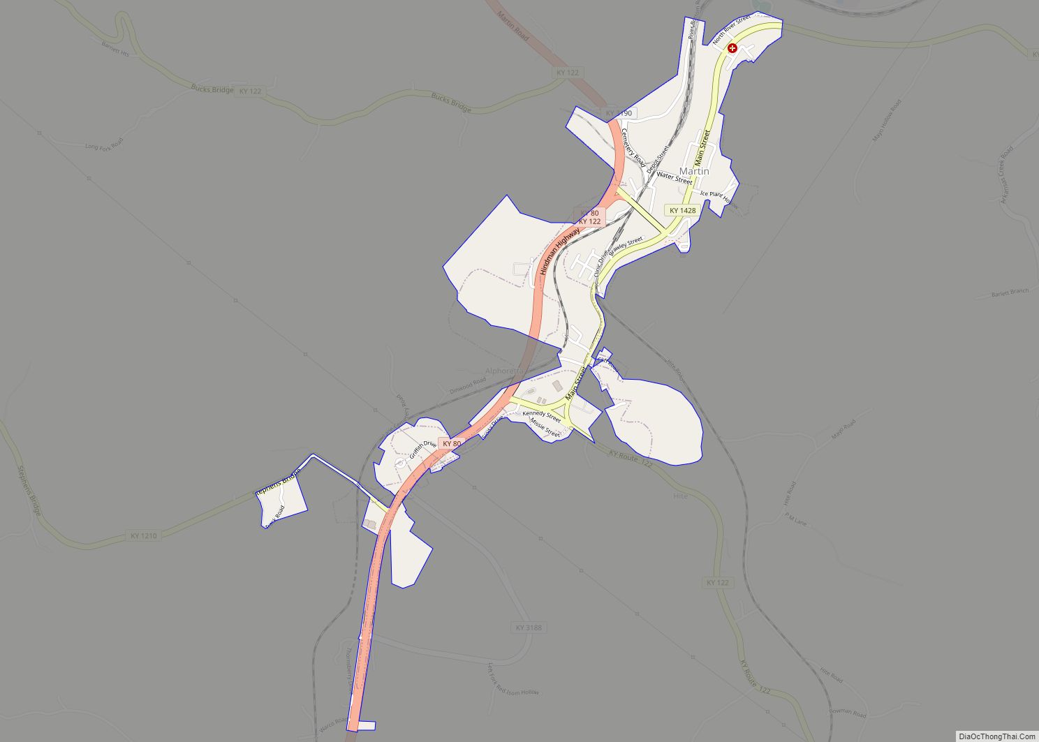
- Martin
- Mason
- McCracken
- McCreary
- McLean
- Meade
- Menifee
- Mercer
- Metcalfe
- Monroe
- Montgomery
- Morgan
- Muhlenberg
- Nelson
- Nicholas
- Ohio
- Oldham
- Owen
- Owsley
- Pendleton
- Perry
- Pike
- Powell
- Pulaski
- Robertson
- Rockcastle
- Rowan
- Russell
- Scott
- Shelby
- Simpson
- Spencer
- Taylor
- Todd
- Trigg
- Trimble
- Union
- Warren
- Washington
- Wayne
- Webster
- Whitley
- Wolfe
- Woodford
- Alabama
- Alaska
- Arizona
- Arkansas
- California
- Colorado
- Connecticut
- Delaware
- District of Columbia
- Florida
- Georgia
- Hawaii
- Idaho
- Illinois
- Indiana
- Iowa
- Kansas
- Kentucky
- Louisiana
- Maine
- Maryland
- Massachusetts
- Michigan
- Minnesota
- Mississippi
- Missouri
- Montana
- Nebraska
- Nevada
- New Hampshire
- New Jersey
- New Mexico
- New York
- North Carolina
- North Dakota
- Ohio
- Oklahoma
- Oregon
- Pennsylvania
- Rhode Island
- South Carolina
- South Dakota
- Tennessee
- Texas
- Utah
- Vermont
- Virginia
- Washington
- West Virginia
- Wisconsin
- Wyoming