Camargo is a home rule-class city in Montgomery County, Kentucky, in the United States. The population was 1,020 at the 2020 census. It is part of the Mount Sterling Micropolitan Statistical Area.
The town was named by soldiers returning from the Mexican–American War, either in honor of Camargo in Mexico or a Mexican entertainer of that name. The post office was established in 1848 and closed in 1963.
| Name: | Camargo city |
|---|---|
| LSAD Code: | 25 |
| LSAD Description: | city (suffix) |
| State: | Kentucky |
| County: | Montgomery County |
| Incorporated: | April 28, 1969 |
| Elevation: | 922 ft (281 m) |
| Total Area: | 2.21 sq mi (5.73 km²) |
| Land Area: | 2.19 sq mi (5.67 km²) |
| Water Area: | 0.03 sq mi (0.07 km²) |
| Total Population: | 1,020 |
| Population Density: | 466.39/sq mi (180.04/km²) |
| ZIP code: | 40353 |
| FIPS code: | 2112052 |
| GNISfeature ID: | 0488655 |
Online Interactive Map
Click on ![]() to view map in "full screen" mode.
to view map in "full screen" mode.
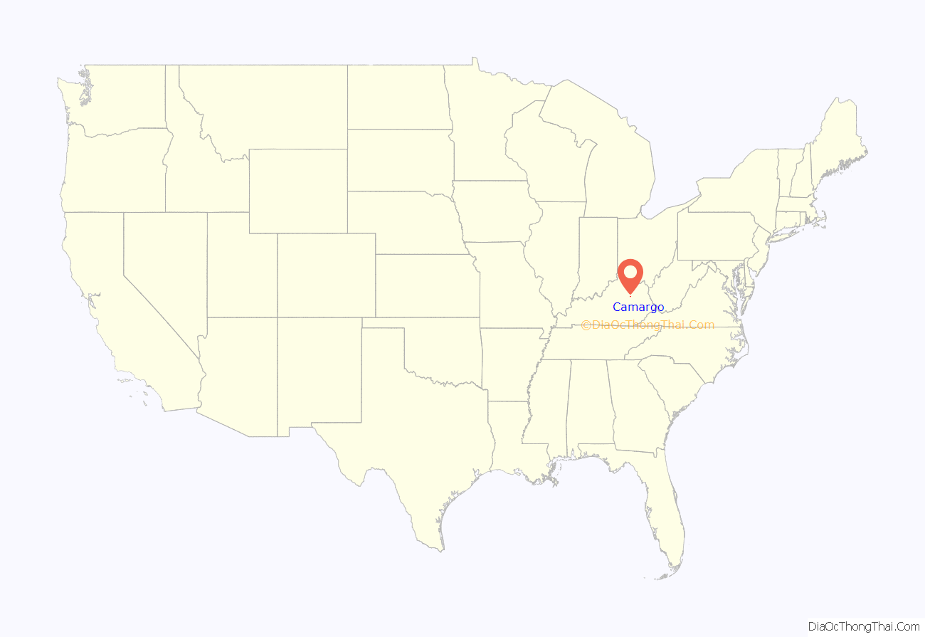
Camargo location map. Where is Camargo city?
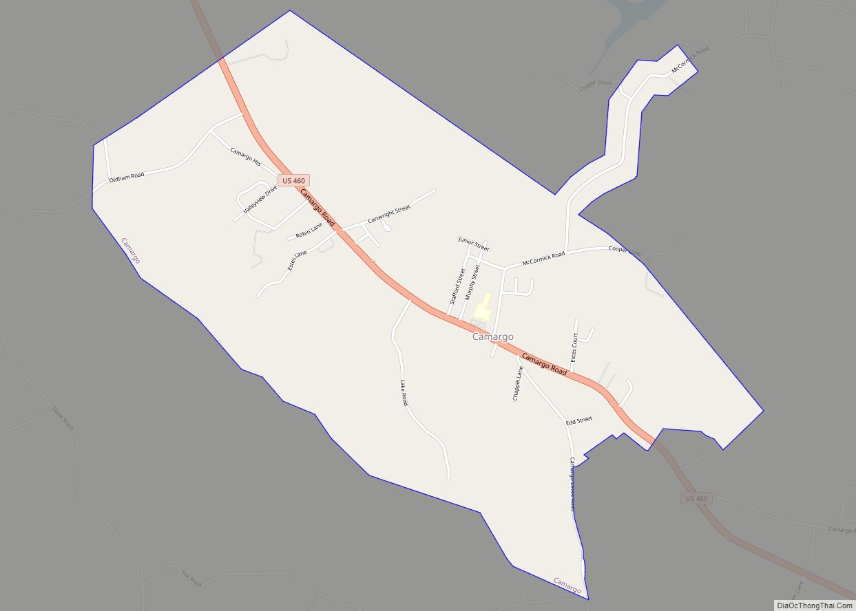
Camargo Road Map
Camargo city Satellite Map
Geography
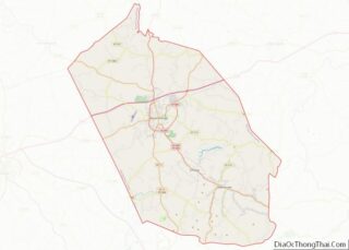
Camargo is located in southern Montgomery County at 37°59′57″N 83°53′46″W / 37.99917°N 83.89611°W / 37.99917; -83.89611 (37.999241, -83.896203). U.S. Route 460 passes through the city as Camargo Road, leading northwest 5 miles (8 km) to Mount Sterling, the county seat, and southeast 15 miles (24 km) to Frenchburg.
According to the United States Census Bureau, Camargo has a total area of 2.21 square miles (5.7 km), of which 0.03 square miles (0.08 km), or 1.17%, are water. The city is bordered to the south by Bowles Branch, and Greenbrier Creek flows through the northern part of the city. Both streams are tributaries of Slate Creek, a north-flowing tributary of the Licking River, which joins the Ohio River at Covington.
See also
Map of Kentucky State and its subdivision:- Adair
- Allen
- Anderson
- Ballard
- Barren
- Bath
- Bell
- Boone
- Bourbon
- Boyd
- Boyle
- Bracken
- Breathitt
- Breckinridge
- Bullitt
- Butler
- Caldwell
- Calloway
- Campbell
- Carlisle
- Carroll
- Carter
- Casey
- Christian
- Clark
- Clay
- Clinton
- Crittenden
- Cumberland
- Daviess
- Edmonson
- Elliott
- Estill
- Fayette
- Fleming
- Floyd
- Franklin
- Fulton
- Gallatin
- Garrard
- Grant
- Graves
- Grayson
- Green
- Greenup
- Hancock
- Hardin
- Harlan
- Harrison
- Hart
- Henderson
- Henry
- Hickman
- Hopkins
- Jackson
- Jefferson
- Jessamine
- Johnson
- Kenton
- Knott
- Knox
- Larue
- Laurel
- Lawrence
- Lee
- Leslie
- Letcher
- Lewis
- Lincoln
- Livingston
- Logan
- Lyon
- Madison
- Magoffin
- Marion
- Marshall
- Martin
- Mason
- McCracken
- McCreary
- McLean
- Meade
- Menifee
- Mercer
- Metcalfe
- Monroe
- Montgomery
- Morgan
- Muhlenberg
- Nelson
- Nicholas
- Ohio
- Oldham
- Owen
- Owsley
- Pendleton
- Perry
- Pike
- Powell
- Pulaski
- Robertson
- Rockcastle
- Rowan
- Russell
- Scott
- Shelby
- Simpson
- Spencer
- Taylor
- Todd
- Trigg
- Trimble
- Union
- Warren
- Washington
- Wayne
- Webster
- Whitley
- Wolfe
- Woodford
- Alabama
- Alaska
- Arizona
- Arkansas
- California
- Colorado
- Connecticut
- Delaware
- District of Columbia
- Florida
- Georgia
- Hawaii
- Idaho
- Illinois
- Indiana
- Iowa
- Kansas
- Kentucky
- Louisiana
- Maine
- Maryland
- Massachusetts
- Michigan
- Minnesota
- Mississippi
- Missouri
- Montana
- Nebraska
- Nevada
- New Hampshire
- New Jersey
- New Mexico
- New York
- North Carolina
- North Dakota
- Ohio
- Oklahoma
- Oregon
- Pennsylvania
- Rhode Island
- South Carolina
- South Dakota
- Tennessee
- Texas
- Utah
- Vermont
- Virginia
- Washington
- West Virginia
- Wisconsin
- Wyoming
