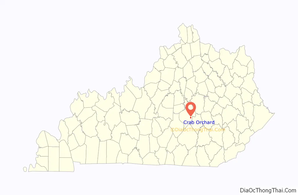
Crab Orchard is a home rule-class city in Lincoln County, Kentucky, United States. The population was 841 at the 2010 census. It is part of the Danville Micropolitan Statistical Area.
| Name: | Crab Orchard city |
|---|---|
| LSAD Code: | 25 |
| LSAD Description: | city (suffix) |
| State: | Kentucky |
| County: | Lincoln County |
| Elevation: | 951 ft (290 m) |
| Total Area: | 1.76 sq mi (4.55 km²) |
| Land Area: | 1.75 sq mi (4.52 km²) |
| Water Area: | 0.01 sq mi (0.03 km²) |
| Total Population: | 744 |
| Population Density: | 426.12/sq mi (164.54/km²) |
| ZIP code: | 40419 |
| Area code: | 606 |
| FIPS code: | 2117956 |
| GNISfeature ID: | 0490242 |
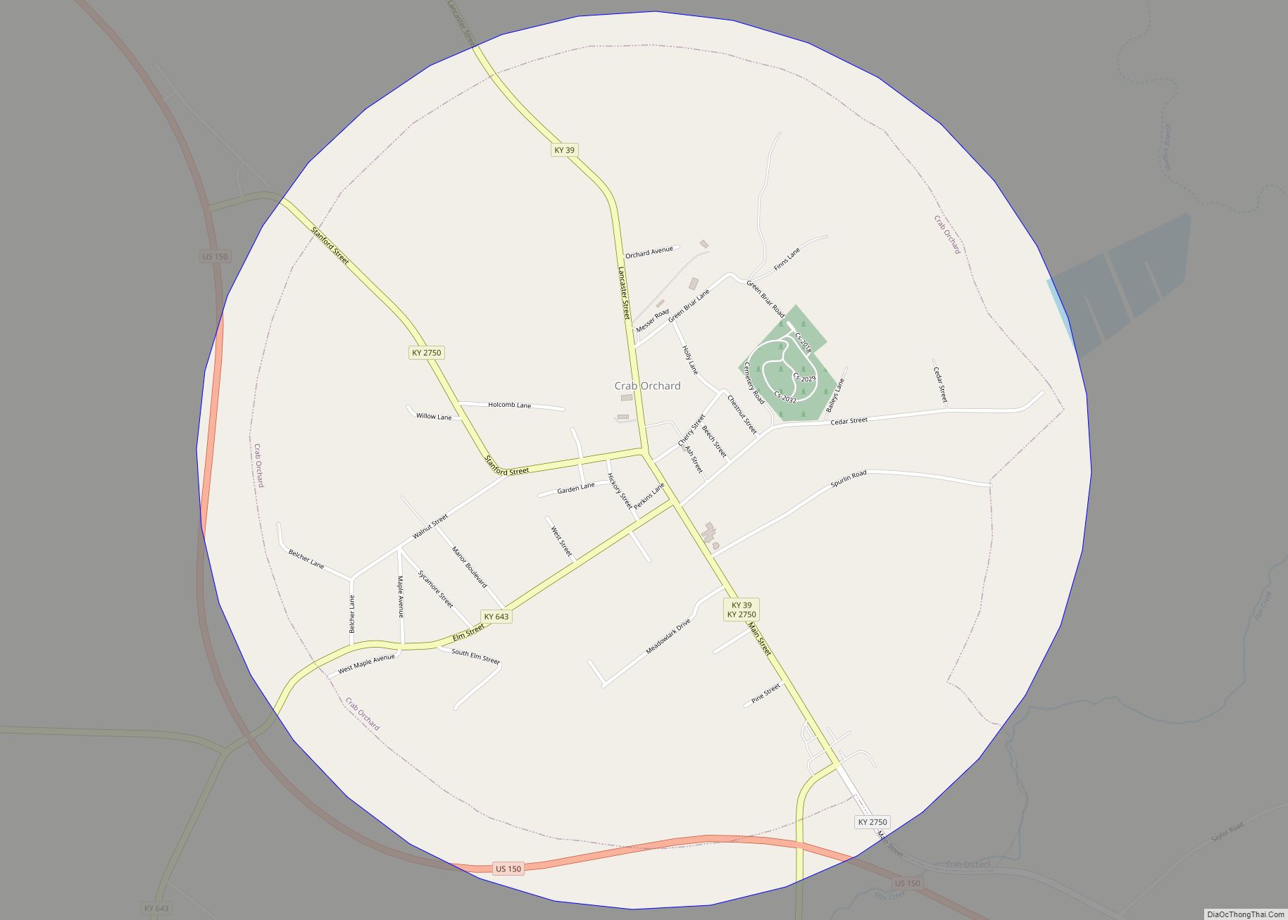
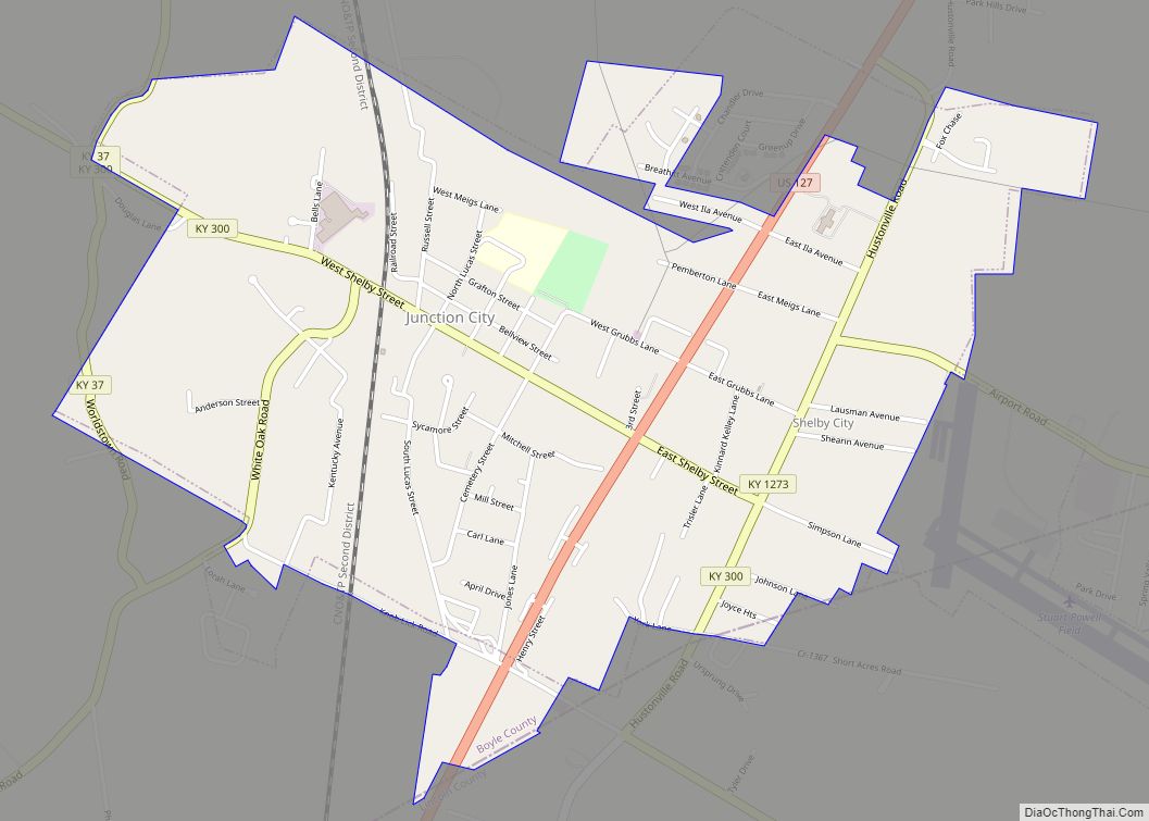
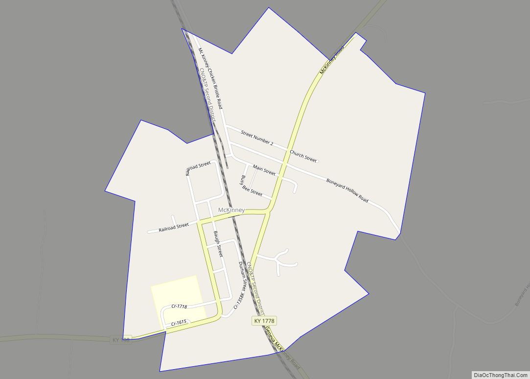
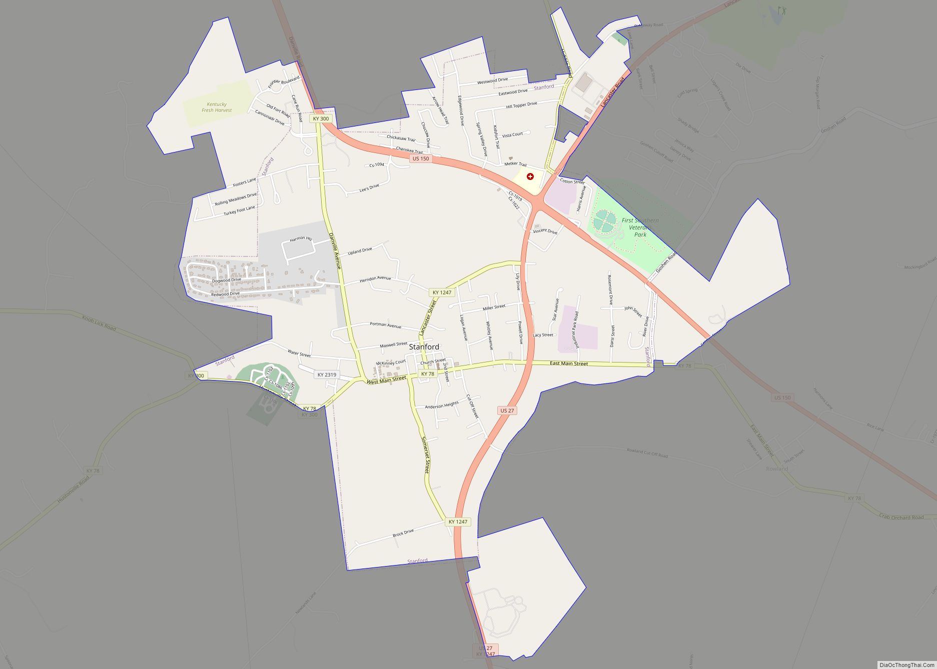
Online Interactive Map
Click on ![]() to view map in "full screen" mode.
to view map in "full screen" mode.
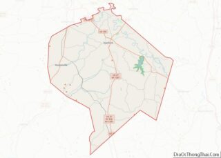
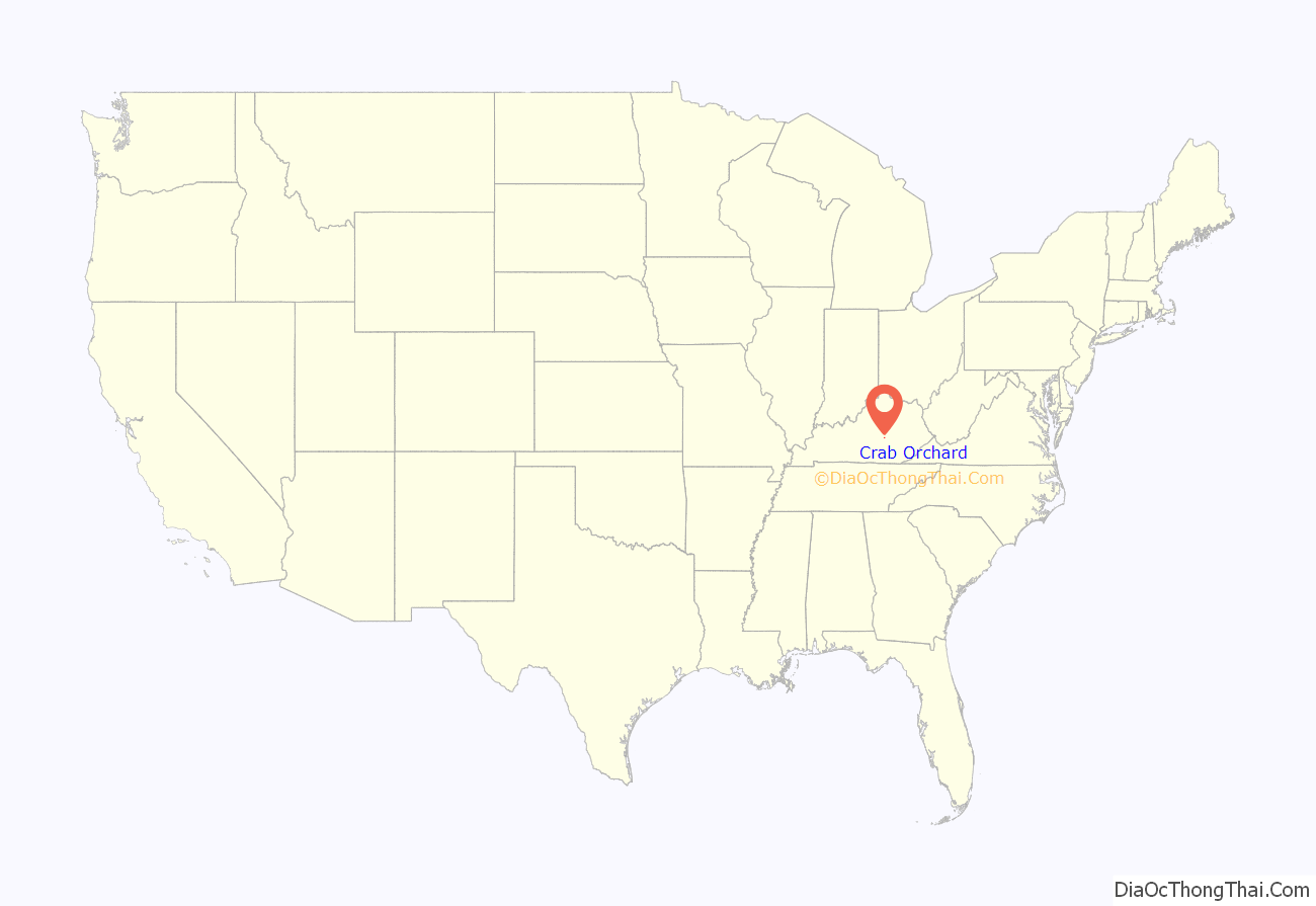
Crab Orchard location map. Where is Crab Orchard city?
History
Crab Orchard was near the end of the Logan Trace of the Wilderness Road and was an early pioneer station. There are several mineral springs in the area, and from 1827 until 1922, taverns and hotels were located at Crab Orchard Springs. The post office was established in 1815, with Archibald Shanks its first postmaster.
Crab Orchard was a station on the Louisville and Nashville Railroad.
Crab Orchard was the birthplace of Thomas L. Smith, a mountain man also known as “Pegleg” Smith.
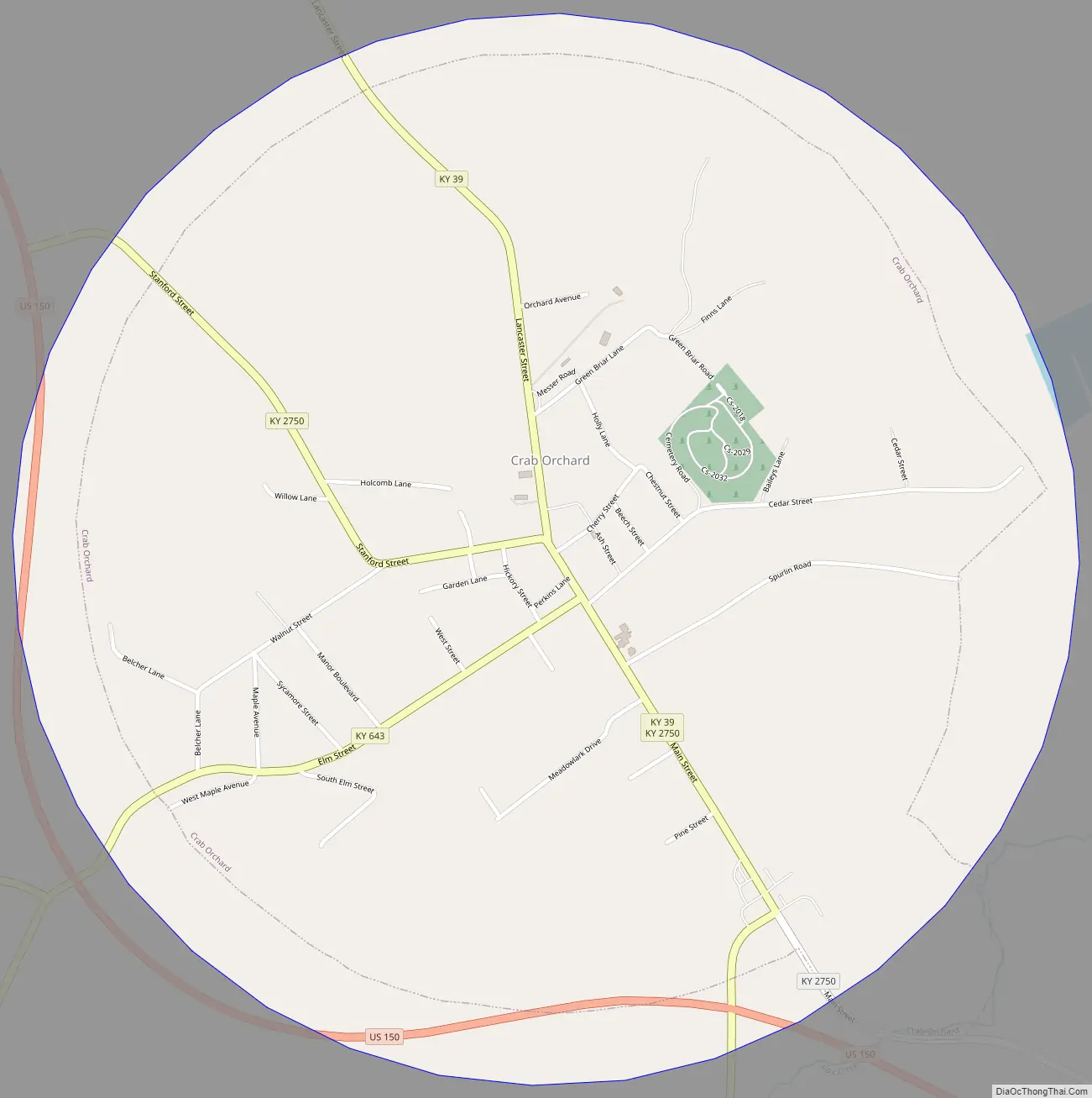
Crab Orchard Road Map
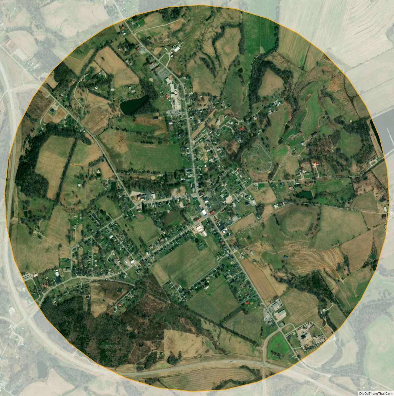
Crab Orchard city Satellite Map
Geography
Crab Orchard is located in eastern Lincoln County in the Knobs 3 miles west of the Rockcastle County line at 37°27′44″N 84°30′29″W / 37.46222°N 84.50806°W / 37.46222; -84.50806 (37.462286, -84.507922). U.S. Route 150 passes around the southern and western edges of the city, leading northwest 11 miles (18 km) to Stanford, the county seat, and southeast 13 miles (21 km) to Mount Vernon. Kentucky Route 39 passes through Crab Orchard as Main Street, leading north 12 miles (19 km) to Lancaster and south 28 miles (45 km) to Somerset.
According to the United States Census Bureau, Crab Orchard has a total area of 1.8 square miles (4.6 km), of which 0.01 square miles (0.03 km), or 0.66%, are water. The city is 1 mile (1.6 km) southwest of the Dix River, a northwest-flowing tributary of the Kentucky River.
See also
Map of Kentucky State and its subdivision:- Adair
- Allen
- Anderson
- Ballard
- Barren
- Bath
- Bell
- Boone
- Bourbon
- Boyd
- Boyle
- Bracken
- Breathitt
- Breckinridge
- Bullitt
- Butler
- Caldwell
- Calloway
- Campbell
- Carlisle
- Carroll
- Carter
- Casey
- Christian
- Clark
- Clay
- Clinton
- Crittenden
- Cumberland
- Daviess
- Edmonson
- Elliott
- Estill
- Fayette
- Fleming
- Floyd
- Franklin
- Fulton
- Gallatin
- Garrard
- Grant
- Graves
- Grayson
- Green
- Greenup
- Hancock
- Hardin
- Harlan
- Harrison
- Hart
- Henderson
- Henry
- Hickman
- Hopkins
- Jackson
- Jefferson
- Jessamine
- Johnson
- Kenton
- Knott
- Knox
- Larue
- Laurel
- Lawrence
- Lee
- Leslie
- Letcher
- Lewis
- Lincoln
- Livingston
- Logan
- Lyon
- Madison
- Magoffin
- Marion
- Marshall
- Martin
- Mason
- McCracken
- McCreary
- McLean
- Meade
- Menifee
- Mercer
- Metcalfe
- Monroe
- Montgomery
- Morgan
- Muhlenberg
- Nelson
- Nicholas
- Ohio
- Oldham
- Owen
- Owsley
- Pendleton
- Perry
- Pike
- Powell
- Pulaski
- Robertson
- Rockcastle
- Rowan
- Russell
- Scott
- Shelby
- Simpson
- Spencer
- Taylor
- Todd
- Trigg
- Trimble
- Union
- Warren
- Washington
- Wayne
- Webster
- Whitley
- Wolfe
- Woodford
- Alabama
- Alaska
- Arizona
- Arkansas
- California
- Colorado
- Connecticut
- Delaware
- District of Columbia
- Florida
- Georgia
- Hawaii
- Idaho
- Illinois
- Indiana
- Iowa
- Kansas
- Kentucky
- Louisiana
- Maine
- Maryland
- Massachusetts
- Michigan
- Minnesota
- Mississippi
- Missouri
- Montana
- Nebraska
- Nevada
- New Hampshire
- New Jersey
- New Mexico
- New York
- North Carolina
- North Dakota
- Ohio
- Oklahoma
- Oregon
- Pennsylvania
- Rhode Island
- South Carolina
- South Dakota
- Tennessee
- Texas
- Utah
- Vermont
- Virginia
- Washington
- West Virginia
- Wisconsin
- Wyoming