Douglass Hills is a home rule-class city in eastern Jefferson County, Kentucky, United States. The population was 5,484 at the 2010 census, down from 5,718 at the 2000 census.
| Name: | Douglass Hills city |
|---|---|
| LSAD Code: | 25 |
| LSAD Description: | city (suffix) |
| State: | Kentucky |
| County: | Jefferson County |
| Elevation: | 709 ft (216 m) |
| Total Area: | 1.33 sq mi (3.44 km²) |
| Land Area: | 1.33 sq mi (3.43 km²) |
| Water Area: | 0.00 sq mi (0.00 km²) |
| Total Population: | 5,456 |
| Population Density: | 4,114.63/sq mi (1,588.87/km²) |
| ZIP code: | 40243 |
| FIPS code: | 2122204 |
| GNISfeature ID: | 1669500 |
| Website: | cityofdouglasshills.com |
Online Interactive Map
Click on ![]() to view map in "full screen" mode.
to view map in "full screen" mode.
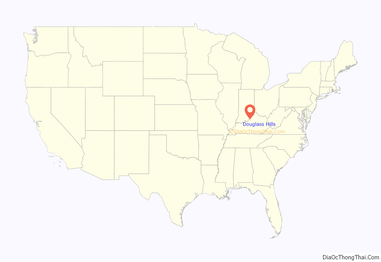
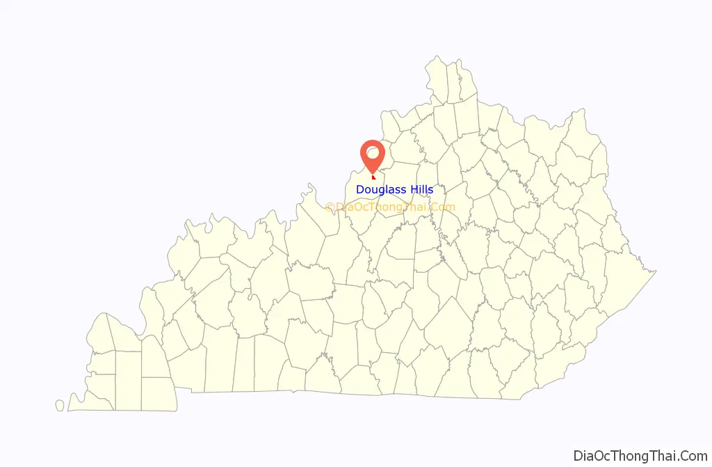
Douglass Hills location map. Where is Douglass Hills city?
History
Douglass Hills was farmland from 1813 until the 1970s. Some of it was owned by James J. Douglas from 1896 until his death in 1917. Douglass Hills was incorporated in 1973 as the farmland was turned into subdivisions, originally under the name “Douglass Place”.
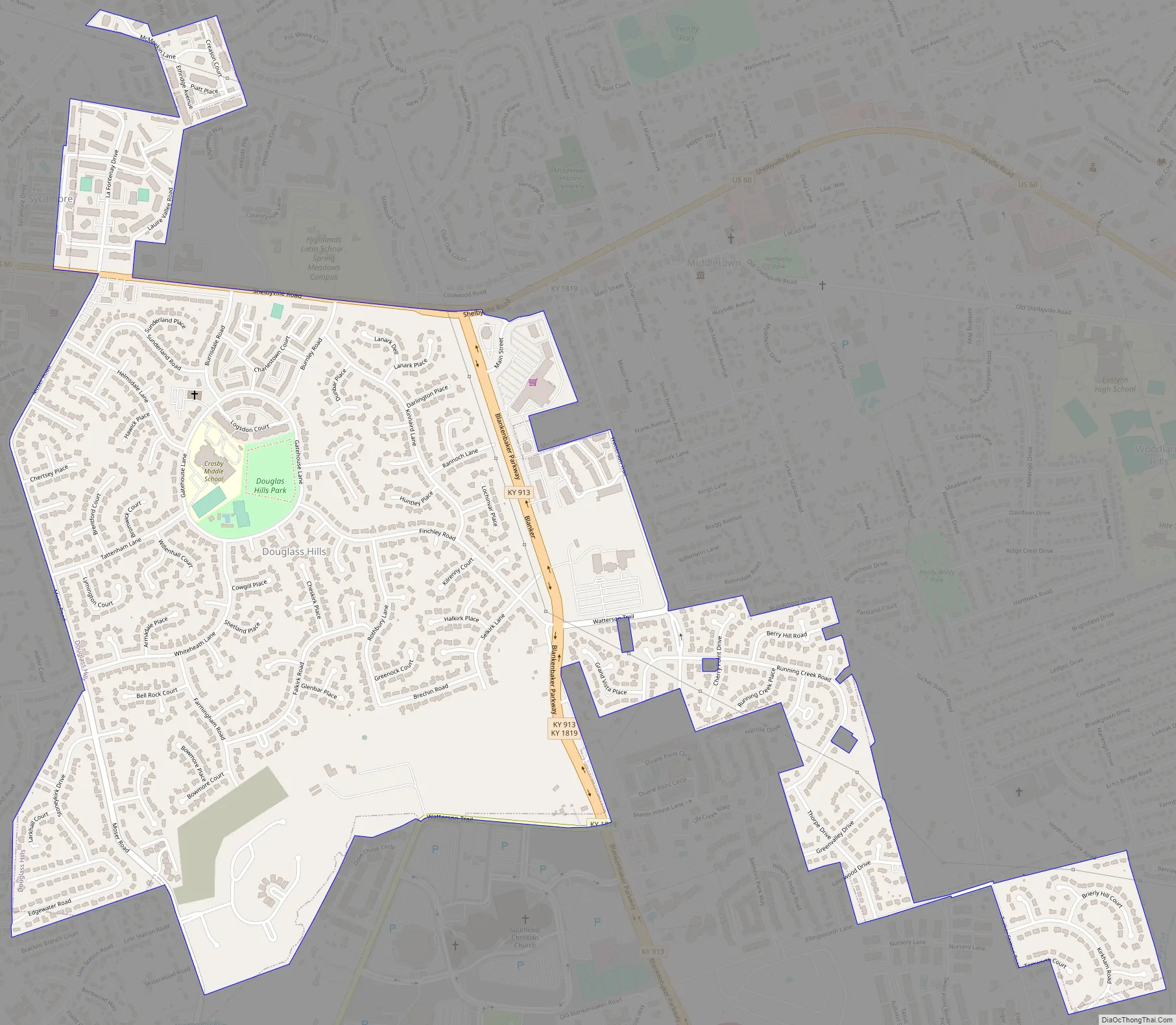
Douglass Hills Road Map
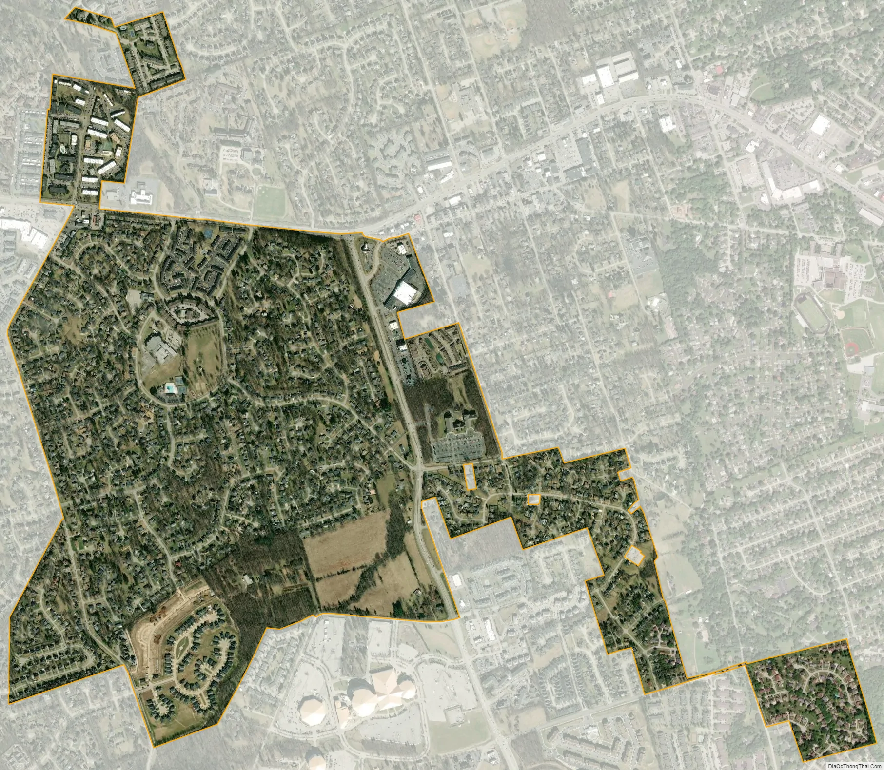
Douglass Hills city Satellite Map
Geography
Douglass Hills is located in eastern Jefferson County at 38°14′10″N 85°32′52″W / 38.23611°N 85.54778°W / 38.23611; -85.54778 (38.236070, -85.547641). It is bordered to the east and south by Middletown, to the west by Jeffersontown, to the northwest by Blue Ridge Manor and Sycamore, and to the north by Louisville.
U.S. Route 60 (Shelbyville Road) forms part of the northern boundary of Douglass Hills, leading east 18 miles (29 km) to Shelbyville and west 12 miles (19 km) to downtown Louisville. Interstate 64 passes 0.5 miles (0.8 km) south of Douglass Hills, with access from Exit 17 (Blankenbaker Parkway).
According to the United States Census Bureau, Douglass Hills has a total area of 1.3 square miles (3.4 km), of which 0.6 acres (2,363 m), or 0.07%, are water.
See also
Map of Kentucky State and its subdivision:- Adair
- Allen
- Anderson
- Ballard
- Barren
- Bath
- Bell
- Boone
- Bourbon
- Boyd
- Boyle
- Bracken
- Breathitt
- Breckinridge
- Bullitt
- Butler
- Caldwell
- Calloway
- Campbell
- Carlisle
- Carroll
- Carter
- Casey
- Christian
- Clark
- Clay
- Clinton
- Crittenden
- Cumberland
- Daviess
- Edmonson
- Elliott
- Estill
- Fayette
- Fleming
- Floyd
- Franklin
- Fulton
- Gallatin
- Garrard
- Grant
- Graves
- Grayson
- Green
- Greenup
- Hancock
- Hardin
- Harlan
- Harrison
- Hart
- Henderson
- Henry
- Hickman
- Hopkins
- Jackson
- Jefferson
- Jessamine
- Johnson
- Kenton
- Knott
- Knox
- Larue
- Laurel
- Lawrence
- Lee
- Leslie
- Letcher
- Lewis
- Lincoln
- Livingston
- Logan
- Lyon
- Madison
- Magoffin
- Marion
- Marshall
- Martin
- Mason
- McCracken
- McCreary
- McLean
- Meade
- Menifee
- Mercer
- Metcalfe
- Monroe
- Montgomery
- Morgan
- Muhlenberg
- Nelson
- Nicholas
- Ohio
- Oldham
- Owen
- Owsley
- Pendleton
- Perry
- Pike
- Powell
- Pulaski
- Robertson
- Rockcastle
- Rowan
- Russell
- Scott
- Shelby
- Simpson
- Spencer
- Taylor
- Todd
- Trigg
- Trimble
- Union
- Warren
- Washington
- Wayne
- Webster
- Whitley
- Wolfe
- Woodford
- Alabama
- Alaska
- Arizona
- Arkansas
- California
- Colorado
- Connecticut
- Delaware
- District of Columbia
- Florida
- Georgia
- Hawaii
- Idaho
- Illinois
- Indiana
- Iowa
- Kansas
- Kentucky
- Louisiana
- Maine
- Maryland
- Massachusetts
- Michigan
- Minnesota
- Mississippi
- Missouri
- Montana
- Nebraska
- Nevada
- New Hampshire
- New Jersey
- New Mexico
- New York
- North Carolina
- North Dakota
- Ohio
- Oklahoma
- Oregon
- Pennsylvania
- Rhode Island
- South Carolina
- South Dakota
- Tennessee
- Texas
- Utah
- Vermont
- Virginia
- Washington
- West Virginia
- Wisconsin
- Wyoming


