Shelbyville is a home rule-class city in and the county seat of Shelby County, Kentucky, United States. The population was 17,282 at the 2020 census.
| Name: | Shelbyville city |
|---|---|
| LSAD Code: | 25 |
| LSAD Description: | city (suffix) |
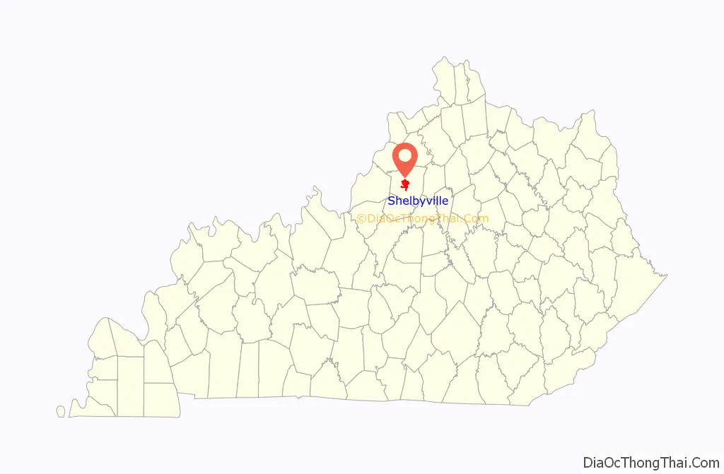
| State: | Kentucky |
| County: | Shelby County |
| Incorporated: | 1846 |
| Elevation: | 761 ft (232 m) |
| Total Area: | 9.13 sq mi (23.64 km²) |
| Land Area: | 8.96 sq mi (23.21 km²) |
| Water Area: | 0.17 sq mi (0.43 km²) |
| Total Population: | 17,282 |
| Population Density: | 1,928.79/sq mi (744.69/km²) |
| ZIP code: | 40065-40066 |
| Area code: | 502 |
| FIPS code: | 2170050 |
| GNISfeature ID: | 0503326 |
| Website: | shelbyvillekentucky.com |
Online Interactive Map
Click on ![]() to view map in "full screen" mode.
to view map in "full screen" mode.
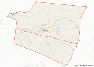
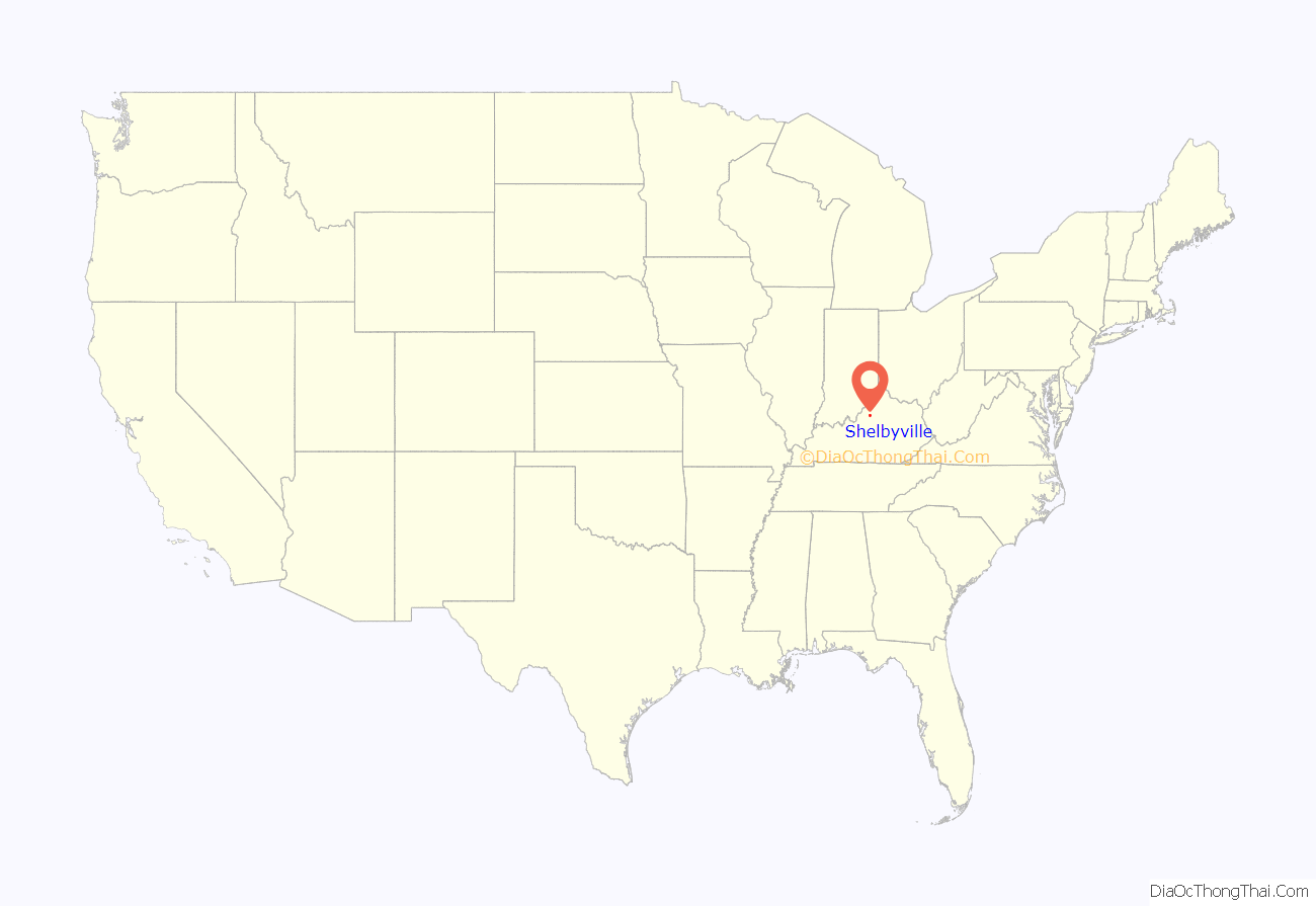
Shelbyville location map. Where is Shelbyville city?
History
Early history
The town of Shelbyville was established in October 1792 at the first meeting of the Shelby County Court after local landowner William Shannon agreed to surrender 50 acres (20 ha) of his property to the community and provide 1 free acre for public buildings. As a result of the grant, Shelbyville, rather than the nearby Squire Boone’s Station, became the home of Shelby County. The agricultural town was situated on the western bank of Clear Creek at the confluence of Mulberry Creek and near a road between Louisville and Frankfort. The town required new residents to construct a 1½-story log cabin with a stone chimney; by 1795, there were 40 of these and, by 1800, there were 262 residents residing in Shelbyville. New lots were platted in 1803, 1815, and 1816.
The Shelbyville Academy was established in 1798 at Eighth and Washington; it became Shelby College and moved to College Street in 1836, affiliated with the Episcopal Church in 1841, changed its name to the St. James College after the Civil War, and closed in 1871, replaced by a public elementary school. The Science Hill Female Academy was established in 1825 on Washington Street; it functioned as a college preparatory school for young women throughout the South prior to closing in 1939 at the end of the Great Depression. The Shelbyville Female Seminary was established in 1839 and moved to its longtime residence at Seventh and Main in 1846. It became the Shelbyville Female Institute in 1849, the Presbyterian Stuart’s Female College in 1851, the Shelbyville Female College in 1868, and the Baptist Shelbyville College from 1890 until its closure in 1912.
The Louisville and Shelbyville Turnpike was completed in the 1830s, following a ridgeline path between the two sites dating back to the Native Americans. After the Louisville and Frankfort Railroad was constructed near the road in present-day Cherokee Gardens in 1849, the turnpike company rerouted and constructed a new road nearby (originally known as the “Shelbyville Branch”, now Lexington Avenue in Louisville) which was completed in 1851.
Civil War
Late in the Civil War, on August 24, 1864, Confederate guerillas under local sympathizer Capt. Dave Martin attacked the Shelby County Courthouse, attempting to seize its cache of muskets. The local merchant Thomas McGrath and tailor J.H. Masonheimer fought them off, killing three of Martin’s men. A black man named Owen was also killed in the exchange, having been forced to hold the guerillas’ horses for them. Martin himself missed the gunfight, as he was held up outside the jail behind the courthouse when the jailer’s wife Mrs. Burnett began furiously scolding him for endangering the lives of innocent townspeople including Martin’s own wife and children. Following the raid, the trustees required all white male residents over the age of 18 to serve as police guards, erecting a blockhouse at Fifth and Main in front of the courthouse to serve as a headquarters.
In response to the slaughter of 35 Union cowboys by Confederate guerrillas in Shelby County and to William Clarke Quantrill’s entrance into Kentucky, Gen. John Palmer placed 30 members of the Shelby County Home Guard and its captain Edwin Terrell on the federal payroll on April 1, 1865. The men roamed Shelby and its surrounding counties, persecuting Confederate guerrillas and Southern sympathizers. The Shelbyville trustees aimed to encourage them to stay close to the city, though, paying their hotel bills when they were in town. On May 10, Terrell and his men found Quantrill’s raiders at a barn outside Wakefield in Spencer Co. and fatally shot their leader. The city came out to cheer the men upon their return and the trustees continued paying their room and board for another month after the U.S. Army paid off and disbanded the troupe on May 26. The threat of raiding over, the blockhouse was demolished by September. By that time, Capt. Terrell and his lieutenant Harry Thompson had murdered and robbed an Illinois stock merchant named William R. Johnson. Over the next year, the local jury could not return a verdict. Terrell was transferred to Taylorsville to be tried for a separate shooting, but broke jail with two companions on May 26 and returned to Shelbyville to go drinking in its saloons. The town marshal George Caplinger organized a posse and took Terrell by surprise outside the Armstrong Hotel, shooting him in the spine, killing his relative John R. Baker, and fatally wounding bystander Merrett Redding. Taken to Louisville, Terrell avoided trial owing to the gravity of his wound and returned home to Harrisonville in October. On the 23rd of that month, Harry Thompson broke jail as well and, according to local lore, fled to Texas and lived out his days as the successful farmer “Henry T. Grazian”. The surgery in 1867 to remove the bullet from Terrell’s back was unsuccessful, though, and he died soon thereafter, aged 22.
Recent history
The agricultural community – principally producing corn, hemp, tobacco, wheat, pork, and beef – experienced a boom after the war. The Shelby Railroad Company connected the town to Anchorage in 1870, reaching the mainline of the Louisville, Cincinnati and Lexington Railroad. Downtown Shelbyville expanded and gained many large, ornate buildings, especially during the rebuilding following a large fire in 1909. The oldest remaining banks were also organized during this time. The late 19th Century also saw a public water system, electricity, and libraries brought to the town.
Following the Spanish–American War, 116 men from Shelbyville made up Company C of the 161st Regiment of Indiana Volunteer Infantry, which made up part of the occupation force in Cuba. They were stationed at Camp Columbia just outside Havana from December 17, 1898, until March 29, 1899.
In 1911, a mob of twenty men stormed the county jail and lynched three African Americans. One was convicted of murdering an African American woman and the other two accused of annoying white girls.
Interstate 64 was built 2 miles (3.2 km) south of the city in 1960 and helped the area become more industrialized; there are now three industrial parks on the west side of the city. The population increased from 4,525 in 1960 to over 10,000 by the year 2000.
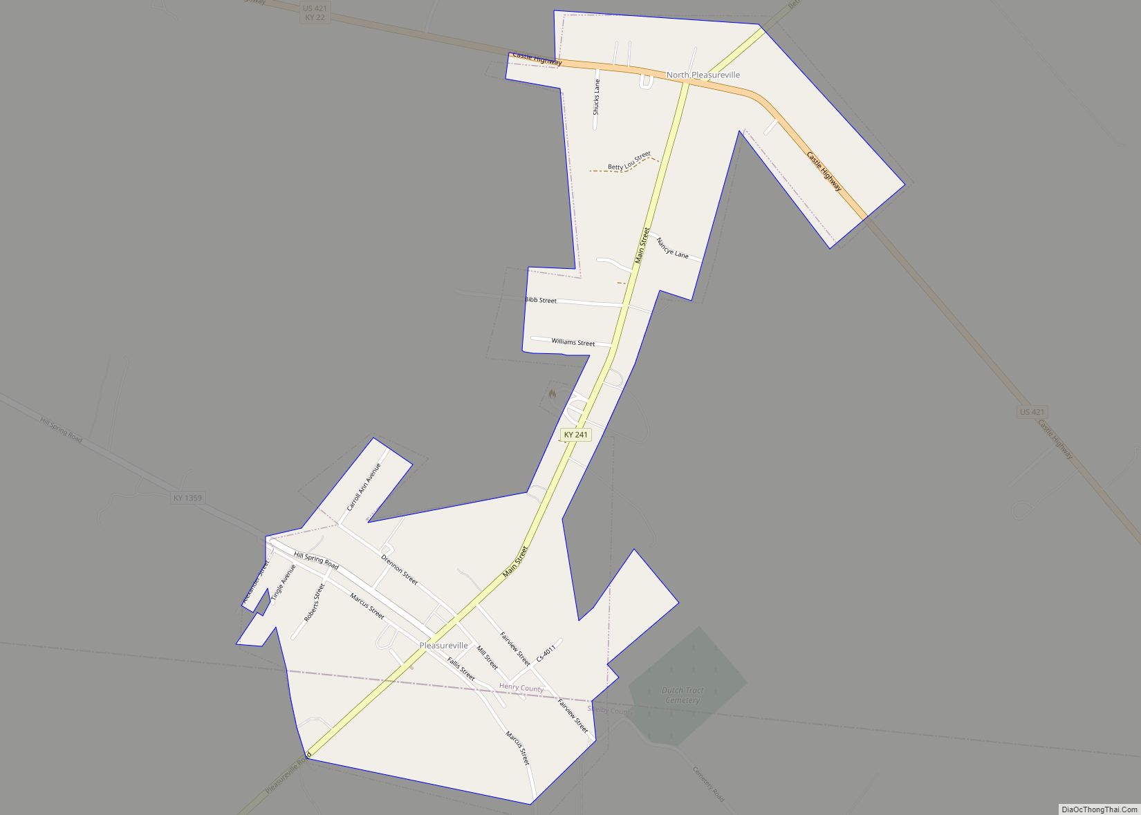
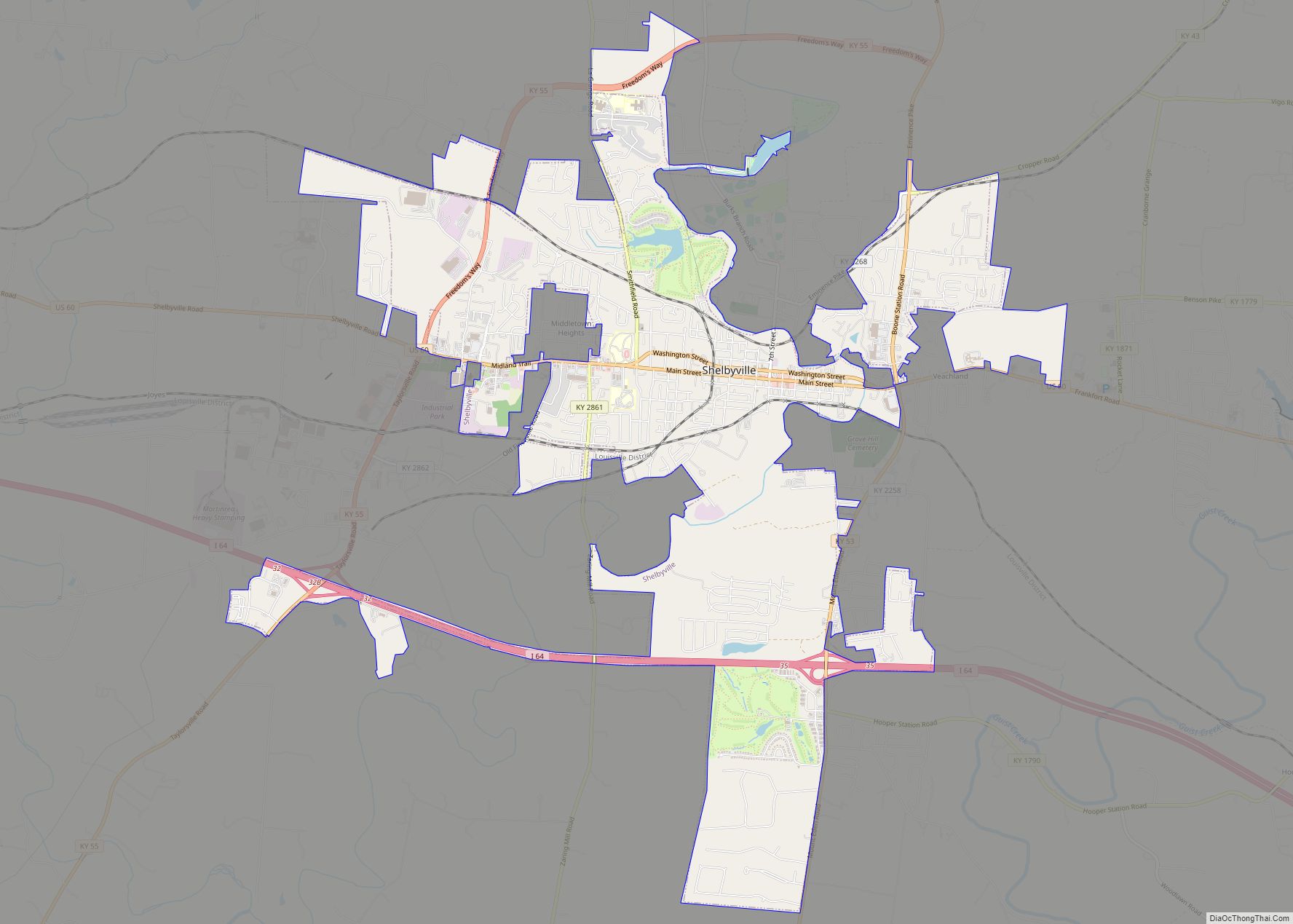
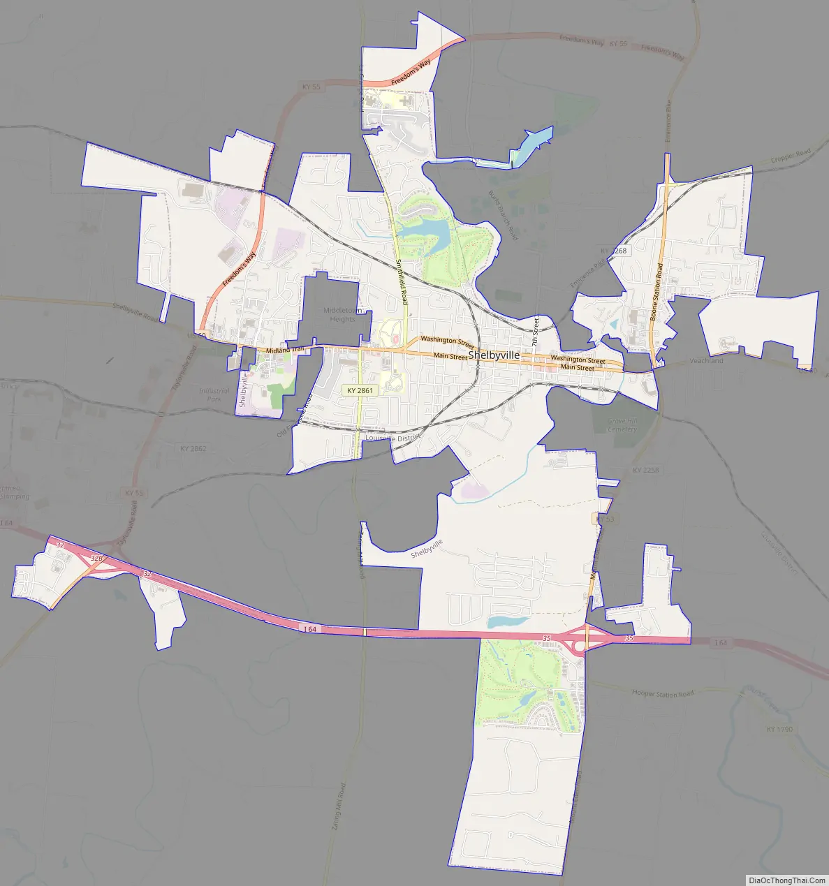
Shelbyville Road Map
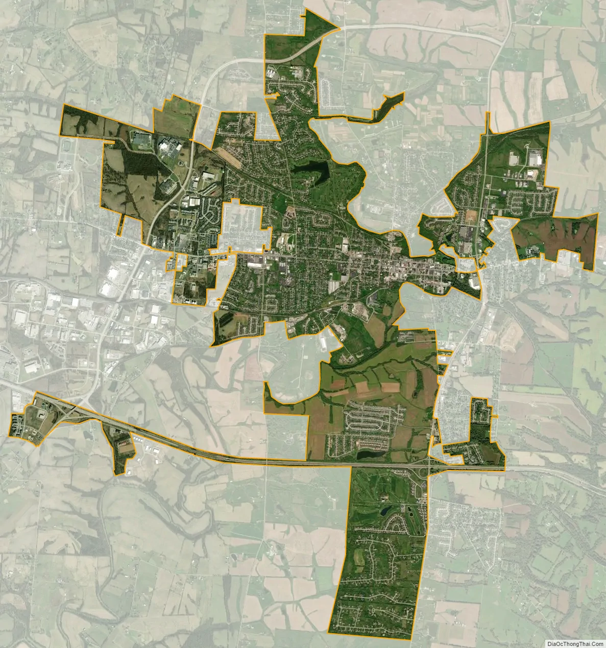
Shelbyville city Satellite Map
Geography
Shelbyville is located at 38°12′44″N 85°13′33″W / 38.21222°N 85.22583°W / 38.21222; -85.22583 (38.212160, -85.225847), on U.S. 60 near the center of Shelby County and north of Interstate 64. According to the United States Census Bureau, the city has a total area of 7.6 square miles (20 km), of which 7.6 square miles (20 km) is land and 0.1 square miles (0.26 km) (0.92%) is water.
The climate in this area is characterized by hot, humid summers and generally mild to cool winters. According to the Köppen Climate Classification system, Shelbyville has a humid subtropical climate, abbreviated Cfa on climate maps. On January 19, 1994, the temperature fell to −37 °F or −38.3 °C, which reading holds the record for Kentucky’s lowest daily minimum.
See also
Map of Kentucky State and its subdivision:- Adair
- Allen
- Anderson
- Ballard
- Barren
- Bath
- Bell
- Boone
- Bourbon
- Boyd
- Boyle
- Bracken
- Breathitt
- Breckinridge
- Bullitt
- Butler
- Caldwell
- Calloway
- Campbell
- Carlisle
- Carroll
- Carter
- Casey
- Christian
- Clark
- Clay
- Clinton
- Crittenden
- Cumberland
- Daviess
- Edmonson
- Elliott
- Estill
- Fayette
- Fleming
- Floyd
- Franklin
- Fulton
- Gallatin
- Garrard
- Grant
- Graves
- Grayson
- Green
- Greenup
- Hancock
- Hardin
- Harlan
- Harrison
- Hart
- Henderson
- Henry
- Hickman
- Hopkins
- Jackson
- Jefferson
- Jessamine
- Johnson
- Kenton
- Knott
- Knox
- Larue
- Laurel
- Lawrence
- Lee
- Leslie
- Letcher
- Lewis
- Lincoln
- Livingston
- Logan
- Lyon
- Madison
- Magoffin
- Marion
- Marshall
- Martin
- Mason
- McCracken
- McCreary
- McLean
- Meade
- Menifee
- Mercer
- Metcalfe
- Monroe
- Montgomery
- Morgan
- Muhlenberg
- Nelson
- Nicholas
- Ohio
- Oldham
- Owen
- Owsley
- Pendleton
- Perry
- Pike
- Powell
- Pulaski
- Robertson
- Rockcastle
- Rowan
- Russell
- Scott
- Shelby
- Simpson
- Spencer
- Taylor
- Todd
- Trigg
- Trimble
- Union
- Warren
- Washington
- Wayne
- Webster
- Whitley
- Wolfe
- Woodford
- Alabama
- Alaska
- Arizona
- Arkansas
- California
- Colorado
- Connecticut
- Delaware
- District of Columbia
- Florida
- Georgia
- Hawaii
- Idaho
- Illinois
- Indiana
- Iowa
- Kansas
- Kentucky
- Louisiana
- Maine
- Maryland
- Massachusetts
- Michigan
- Minnesota
- Mississippi
- Missouri
- Montana
- Nebraska
- Nevada
- New Hampshire
- New Jersey
- New Mexico
- New York
- North Carolina
- North Dakota
- Ohio
- Oklahoma
- Oregon
- Pennsylvania
- Rhode Island
- South Carolina
- South Dakota
- Tennessee
- Texas
- Utah
- Vermont
- Virginia
- Washington
- West Virginia
- Wisconsin
- Wyoming