Dwale is an unincorporated community and census-designated place in Floyd County, Kentucky, United States. The 2010 United States Census reported that Dwale’s population was 329, of which 312 persons were white and 9 persons were Asian.
The origins of the name Dwale are unclear. Although it is said to have been named after a town in Wales, no such Welsh place name has been found.
| Name: | Dwale CDP |
|---|---|
| LSAD Code: | 57 |
| LSAD Description: | CDP (suffix) |
| State: | Kentucky |
| County: | Floyd County |
| Elevation: | 801 ft (244 m) |
| Total Area: | 0.63 sq mi (1.63 km²) |
| Land Area: | 0.61 sq mi (1.58 km²) |
| Water Area: | 0.02 sq mi (0.06 km²) |
| Total Population: | 239 |
| Population Density: | 392.45/sq mi (151.43/km²) |
| FIPS code: | 2123104 |
| GNISfeature ID: | 2629606 |
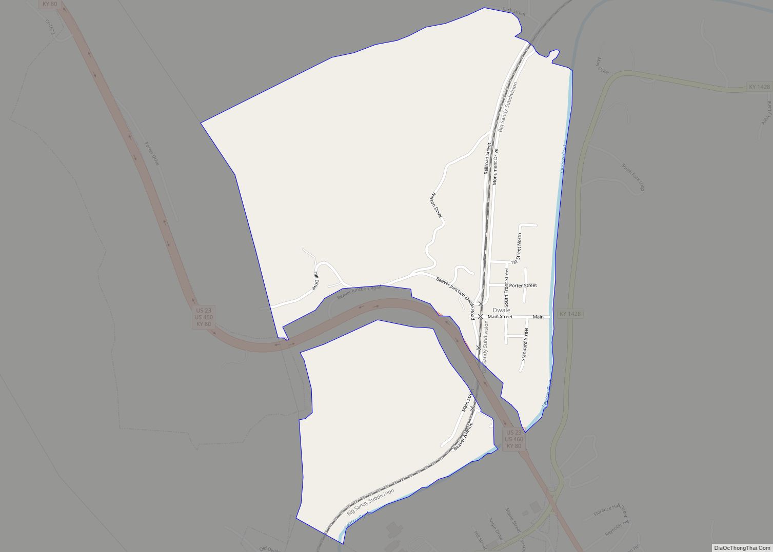
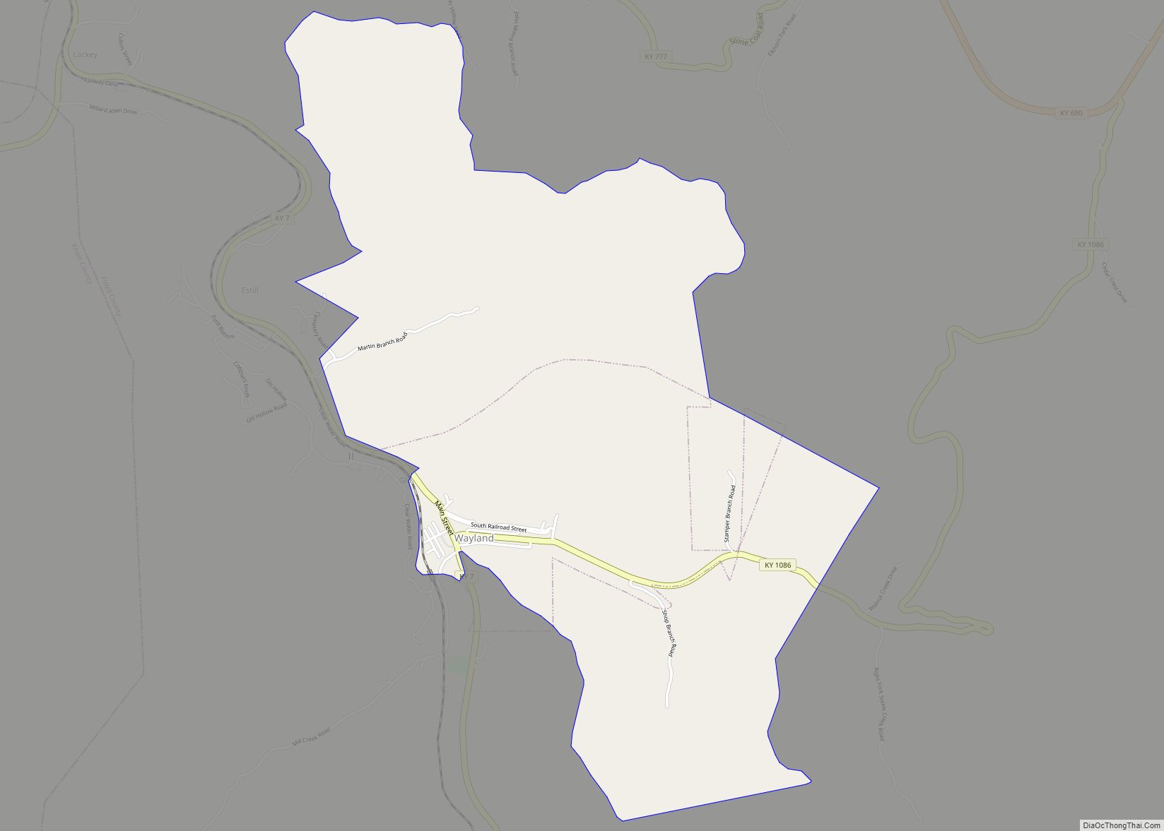
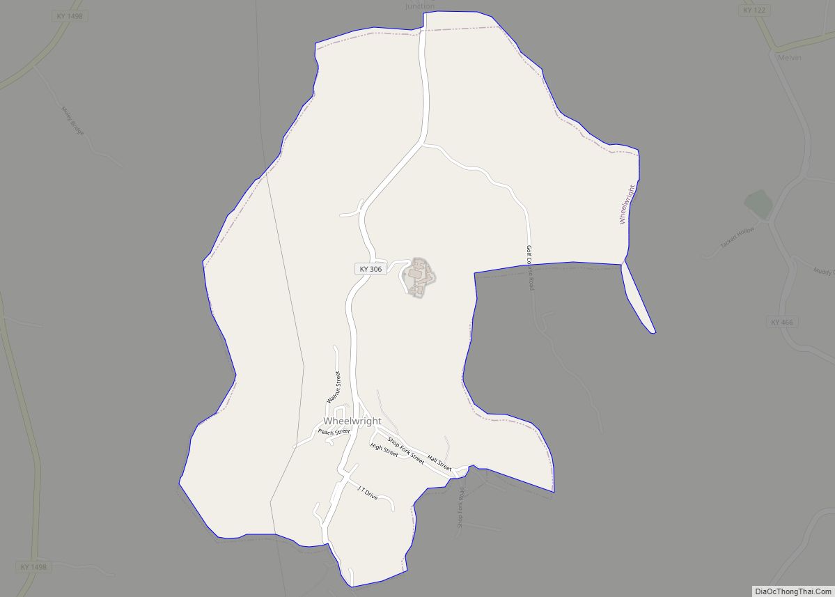
Online Interactive Map
Click on ![]() to view map in "full screen" mode.
to view map in "full screen" mode.
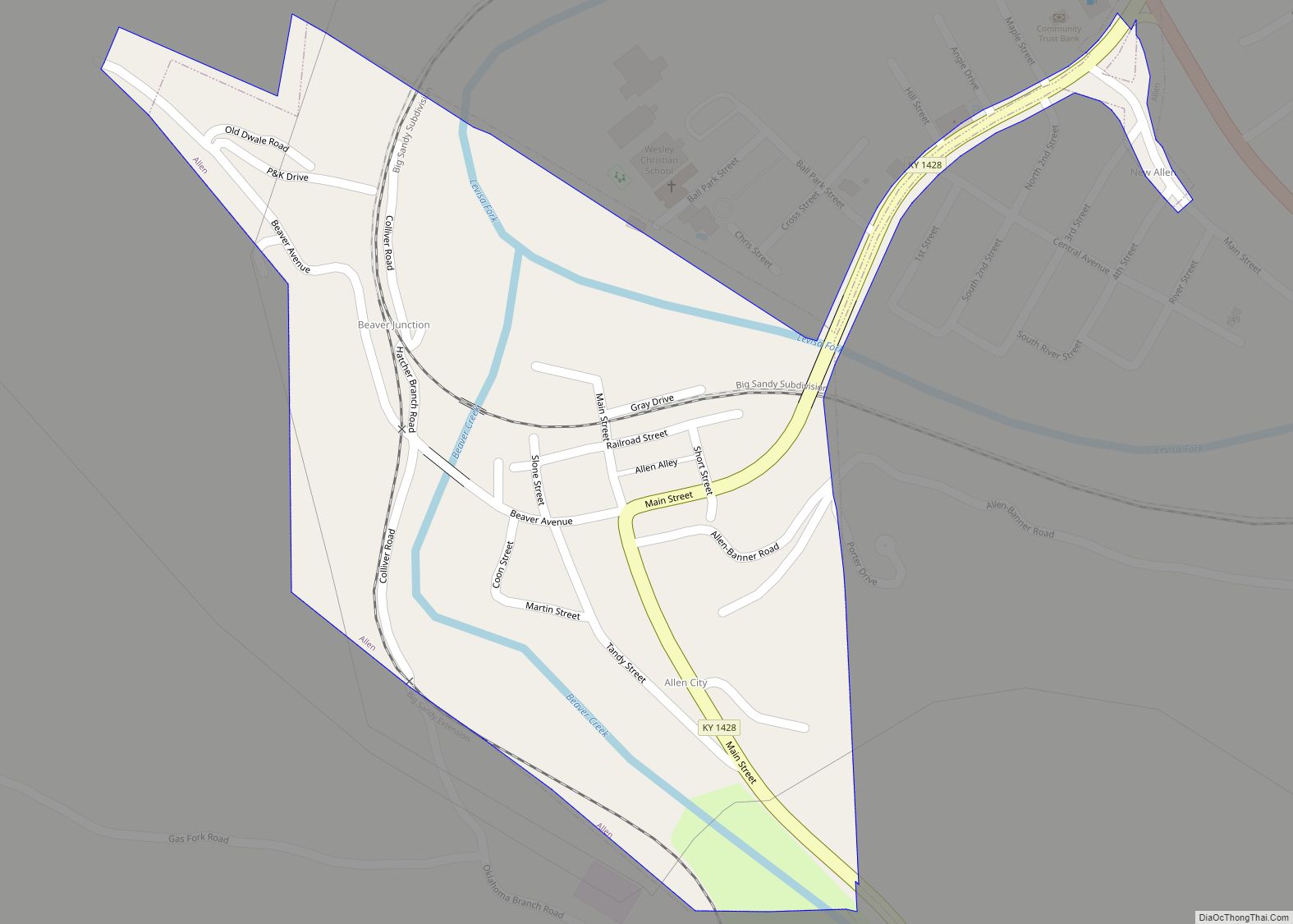
Dwale location map. Where is Dwale CDP?
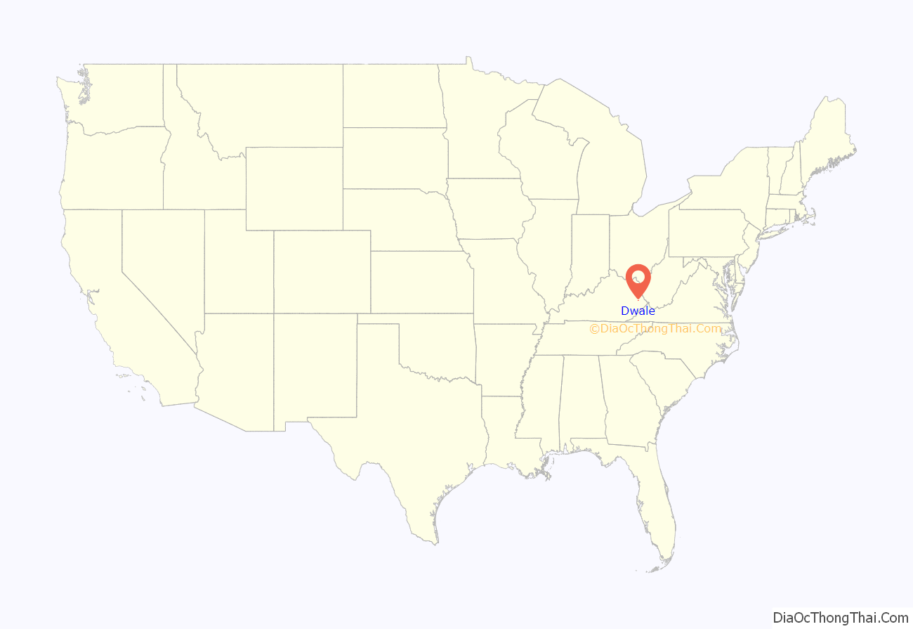
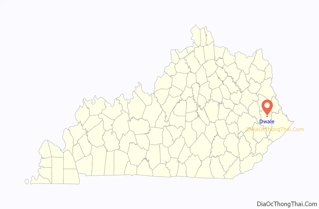
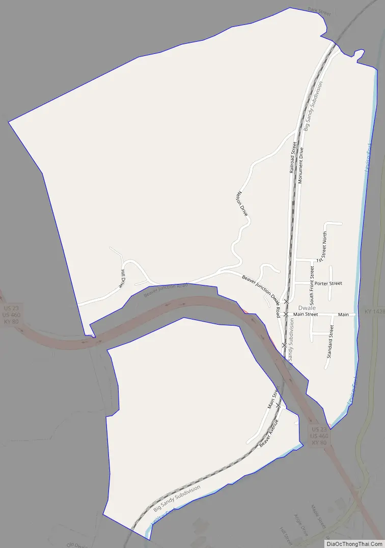
Dwale Road Map
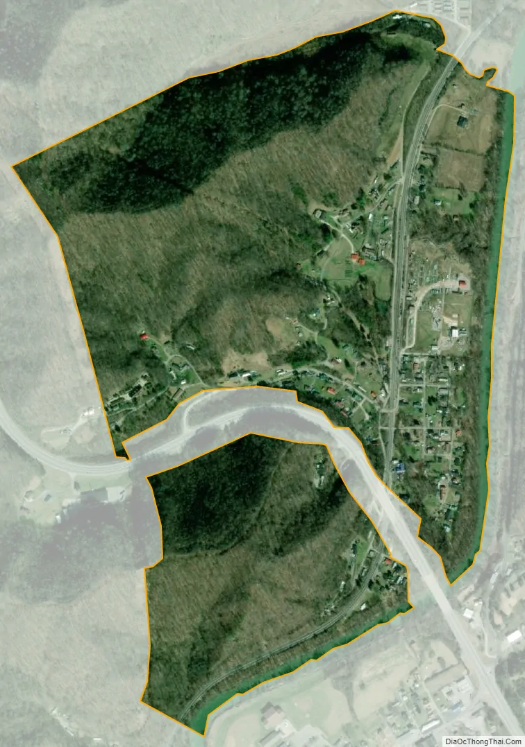
Dwale city Satellite Map
Geography
Dwale is located in north-central Floyd County on the west side of the Levisa Fork, just north of Allen. U.S. Route 23 passes through Dwale, leading northwest 5 miles (8 km) to Prestonsburg, the county seat, and southeast 22 miles (35 km) to Pikeville.
According to the U.S. Census Bureau, the Dwale CDP has a total area of 0.67 square miles (1.74 km), of which 0.66 square miles (1.70 km) is land and 0.02 square miles (0.04 km), or 2.57%, is water.
See also
Map of Kentucky State and its subdivision:- Adair
- Allen
- Anderson
- Ballard
- Barren
- Bath
- Bell
- Boone
- Bourbon
- Boyd
- Boyle
- Bracken
- Breathitt
- Breckinridge
- Bullitt
- Butler
- Caldwell
- Calloway
- Campbell
- Carlisle
- Carroll
- Carter
- Casey
- Christian
- Clark
- Clay
- Clinton
- Crittenden
- Cumberland
- Daviess
- Edmonson
- Elliott
- Estill
- Fayette
- Fleming
- Floyd
- Franklin
- Fulton
- Gallatin
- Garrard
- Grant
- Graves
- Grayson
- Green
- Greenup
- Hancock
- Hardin
- Harlan
- Harrison
- Hart
- Henderson
- Henry
- Hickman
- Hopkins
- Jackson
- Jefferson
- Jessamine
- Johnson
- Kenton
- Knott
- Knox
- Larue
- Laurel
- Lawrence
- Lee
- Leslie
- Letcher
- Lewis
- Lincoln
- Livingston
- Logan
- Lyon
- Madison
- Magoffin
- Marion
- Marshall
- Martin
- Mason
- McCracken
- McCreary
- McLean
- Meade
- Menifee
- Mercer
- Metcalfe
- Monroe
- Montgomery
- Morgan
- Muhlenberg
- Nelson
- Nicholas
- Ohio
- Oldham
- Owen
- Owsley
- Pendleton
- Perry
- Pike
- Powell
- Pulaski
- Robertson
- Rockcastle
- Rowan
- Russell
- Scott
- Shelby
- Simpson
- Spencer
- Taylor
- Todd
- Trigg
- Trimble
- Union
- Warren
- Washington
- Wayne
- Webster
- Whitley
- Wolfe
- Woodford
- Alabama
- Alaska
- Arizona
- Arkansas
- California
- Colorado
- Connecticut
- Delaware
- District of Columbia
- Florida
- Georgia
- Hawaii
- Idaho
- Illinois
- Indiana
- Iowa
- Kansas
- Kentucky
- Louisiana
- Maine
- Maryland
- Massachusetts
- Michigan
- Minnesota
- Mississippi
- Missouri
- Montana
- Nebraska
- Nevada
- New Hampshire
- New Jersey
- New Mexico
- New York
- North Carolina
- North Dakota
- Ohio
- Oklahoma
- Oregon
- Pennsylvania
- Rhode Island
- South Carolina
- South Dakota
- Tennessee
- Texas
- Utah
- Vermont
- Virginia
- Washington
- West Virginia
- Wisconsin
- Wyoming