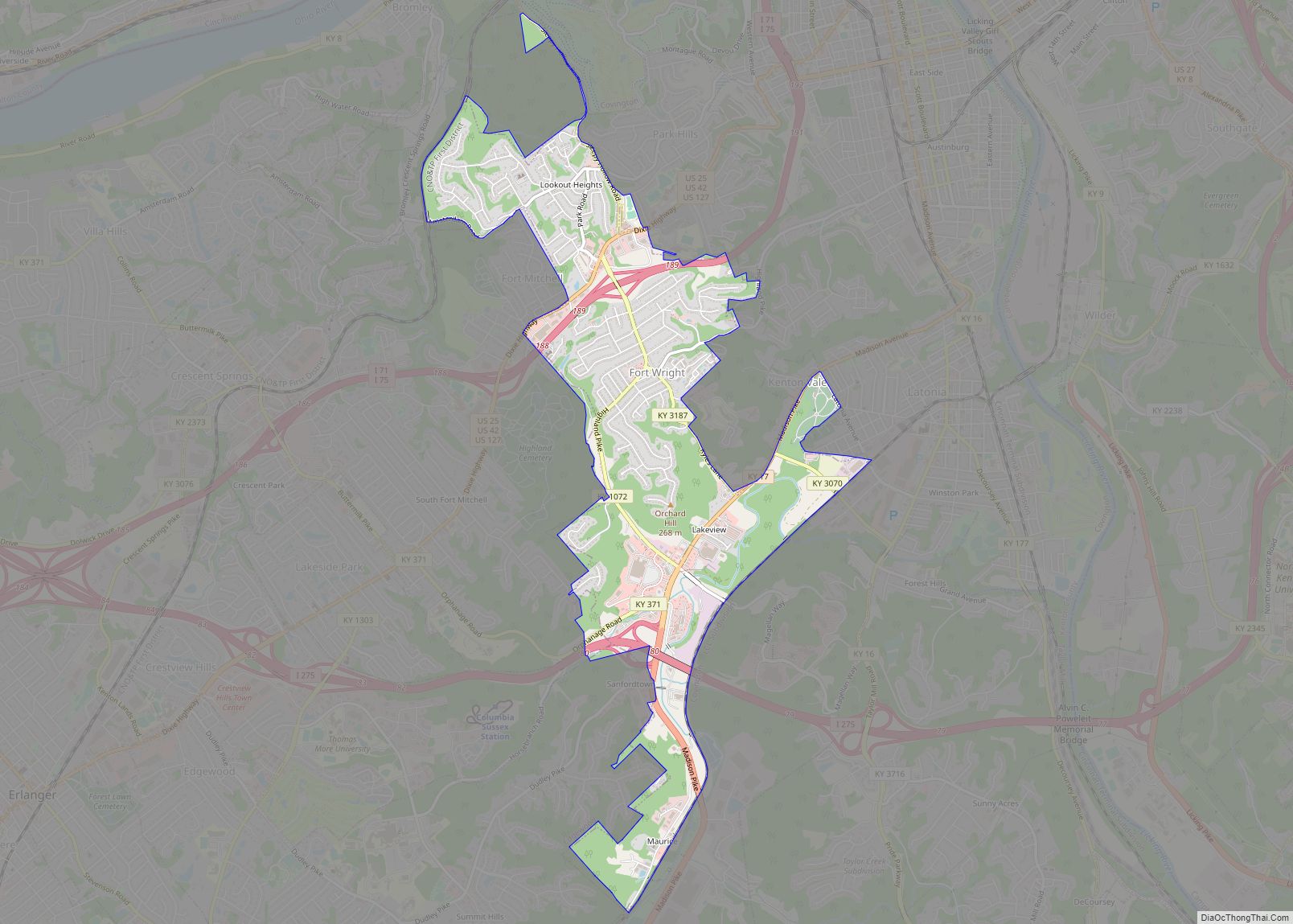
Elsmere is a home rule-class city in Kenton County, Kentucky, in the United States. The population was 8,451 at the 2010 census.
| Name: | Elsmere city |
|---|---|
| LSAD Code: | 25 |
| LSAD Description: | city (suffix) |
| State: | Kentucky |
| County: | Kenton County |
| Incorporated: | May 11, 1896 |
| Elevation: | 919 ft (280 m) |
| Total Area: | 2.65 sq mi (6.85 km²) |
| Land Area: | 2.63 sq mi (6.81 km²) |
| Water Area: | 0.02 sq mi (0.04 km²) |
| Total Population: | 9,159 |
| Population Density: | 3,485.16/sq mi (1,345.83/km²) |
| ZIP code: | 41018 |
| Area code: | 859 |
| FIPS code: | 2124778 |
| GNISfeature ID: | 0491746 |
| Website: | www.cityofelsmere.com |
Online Interactive Map
Click on ![]() to view map in "full screen" mode.
to view map in "full screen" mode.
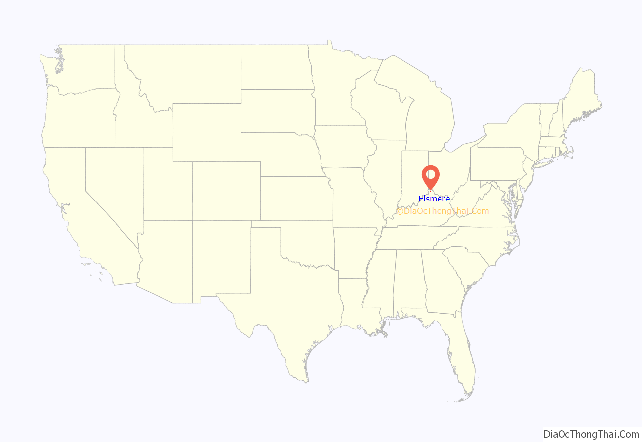
Elsmere location map. Where is Elsmere city?
History
The community was first settled in 1885 as “South Erlanger”. Elsmere organized as a city in 1896, renamed after Elsmere Avenue in Norwood, Ohio, the hometown of one of its founders.
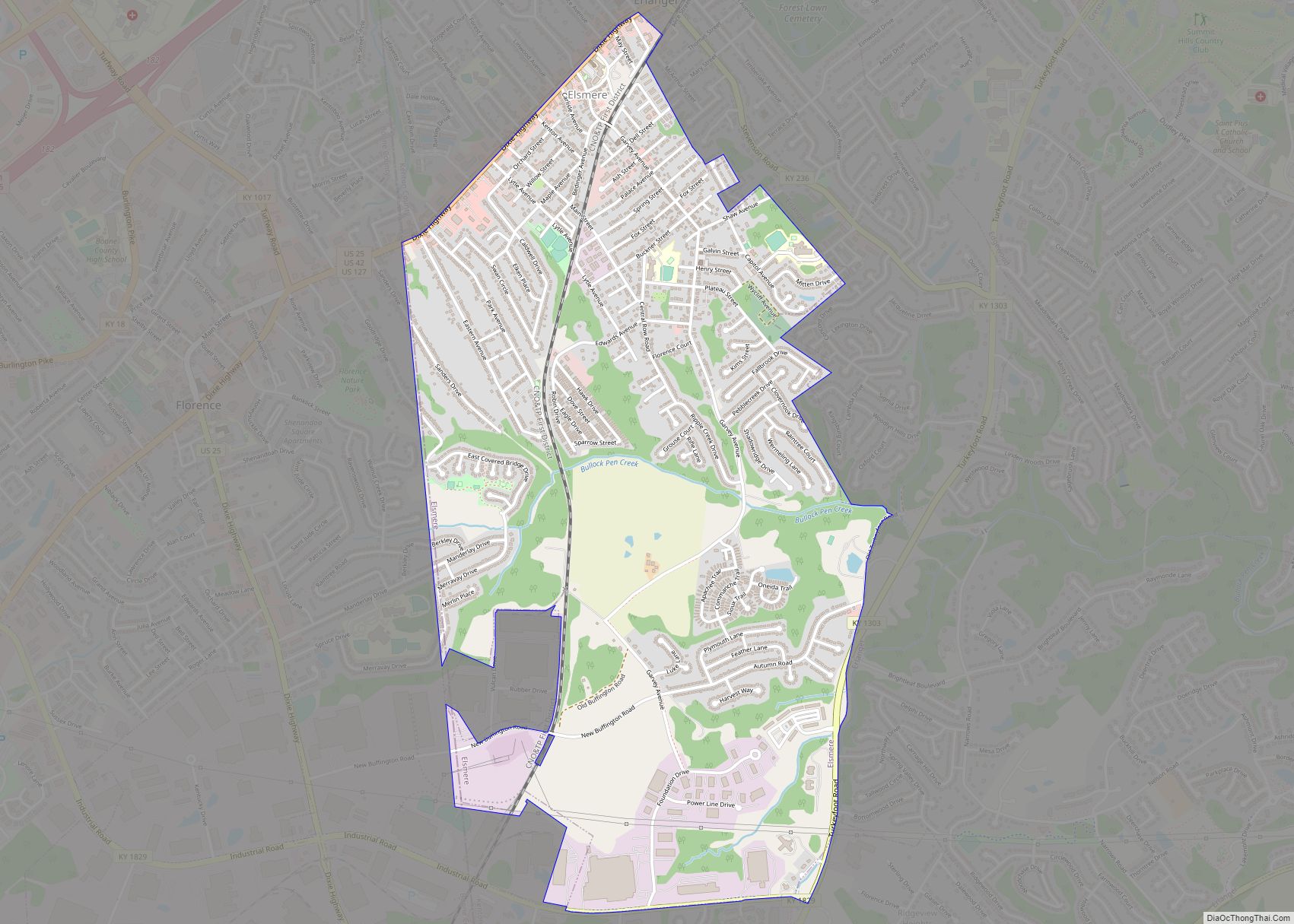
Elsmere Road Map
Elsmere city Satellite Map
Geography
Elsmere is located in western Kenton County at 39°0′5″N 84°36′11″W / 39.00139°N 84.60306°W / 39.00139; -84.60306 (39.001475, -84.603116). It is bordered to the north and east by Erlanger, to the south by Independence, and to the west by Florence in Boone County. The Dixie Highway (U.S. Routes 25, 42, and 127) forms the northern border of the city and leads northeast 7 miles (11 km) to Covington and southwest 1.5 miles (2.4 km) to the center of Florence.
According to the United States Census Bureau, Elsmere has a total area of 2.7 square miles (6.9 km), of which 0.02 square miles (0.05 km), or 0.73%, are water.
See also
Map of Kentucky State and its subdivision:- Adair
- Allen
- Anderson
- Ballard
- Barren
- Bath
- Bell
- Boone
- Bourbon
- Boyd
- Boyle
- Bracken
- Breathitt
- Breckinridge
- Bullitt
- Butler
- Caldwell
- Calloway
- Campbell
- Carlisle
- Carroll
- Carter
- Casey
- Christian
- Clark
- Clay
- Clinton
- Crittenden
- Cumberland
- Daviess
- Edmonson
- Elliott
- Estill
- Fayette
- Fleming
- Floyd
- Franklin
- Fulton
- Gallatin
- Garrard
- Grant
- Graves
- Grayson
- Green
- Greenup
- Hancock
- Hardin
- Harlan
- Harrison
- Hart
- Henderson
- Henry
- Hickman
- Hopkins
- Jackson
- Jefferson
- Jessamine
- Johnson
- Kenton
- Knott
- Knox
- Larue
- Laurel
- Lawrence
- Lee
- Leslie
- Letcher
- Lewis
- Lincoln
- Livingston
- Logan
- Lyon
- Madison
- Magoffin
- Marion
- Marshall
- Martin
- Mason
- McCracken
- McCreary
- McLean
- Meade
- Menifee
- Mercer
- Metcalfe
- Monroe
- Montgomery
- Morgan
- Muhlenberg
- Nelson
- Nicholas
- Ohio
- Oldham
- Owen
- Owsley
- Pendleton
- Perry
- Pike
- Powell
- Pulaski
- Robertson
- Rockcastle
- Rowan
- Russell
- Scott
- Shelby
- Simpson
- Spencer
- Taylor
- Todd
- Trigg
- Trimble
- Union
- Warren
- Washington
- Wayne
- Webster
- Whitley
- Wolfe
- Woodford
- Alabama
- Alaska
- Arizona
- Arkansas
- California
- Colorado
- Connecticut
- Delaware
- District of Columbia
- Florida
- Georgia
- Hawaii
- Idaho
- Illinois
- Indiana
- Iowa
- Kansas
- Kentucky
- Louisiana
- Maine
- Maryland
- Massachusetts
- Michigan
- Minnesota
- Mississippi
- Missouri
- Montana
- Nebraska
- Nevada
- New Hampshire
- New Jersey
- New Mexico
- New York
- North Carolina
- North Dakota
- Ohio
- Oklahoma
- Oregon
- Pennsylvania
- Rhode Island
- South Carolina
- South Dakota
- Tennessee
- Texas
- Utah
- Vermont
- Virginia
- Washington
- West Virginia
- Wisconsin
- Wyoming
