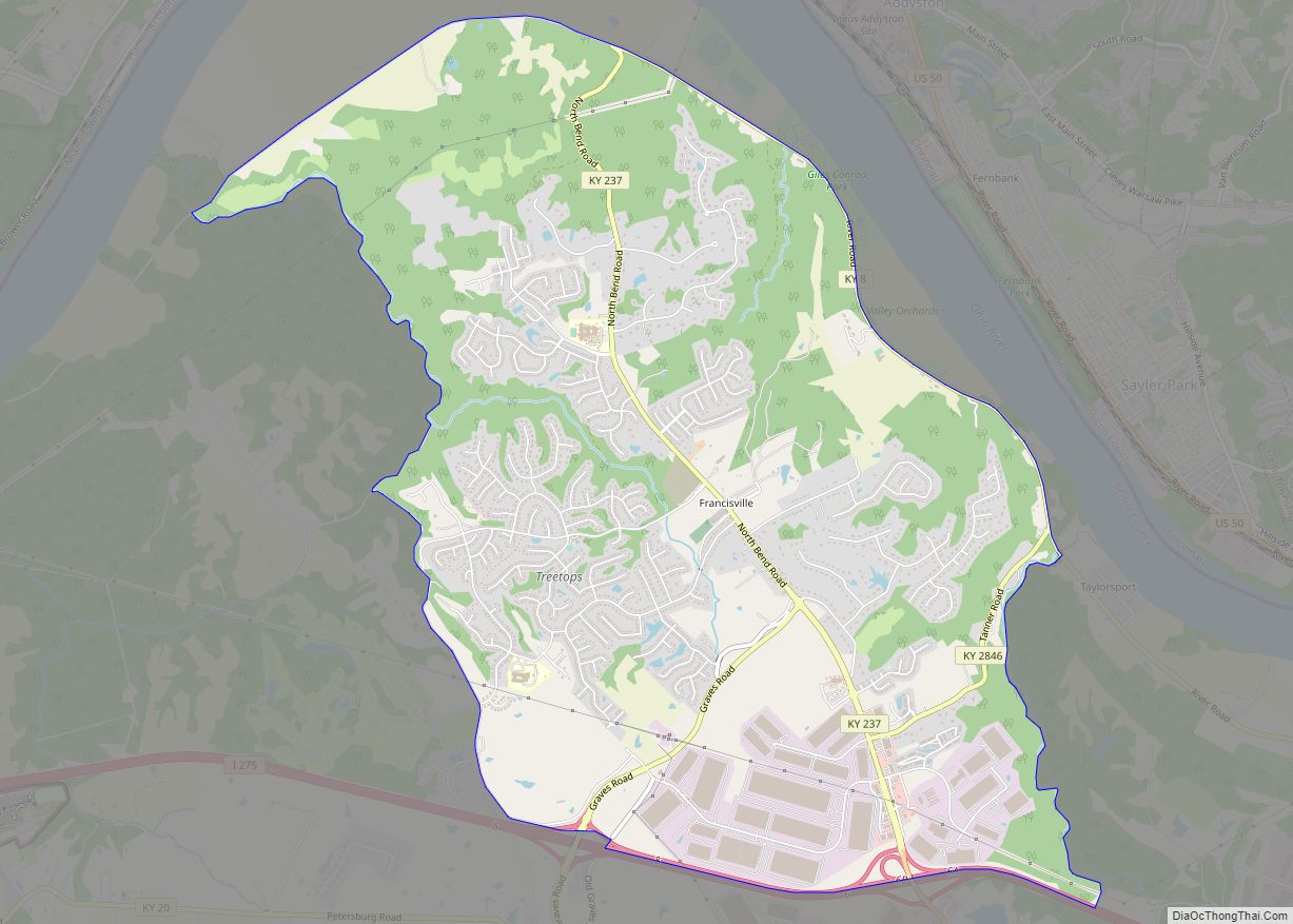
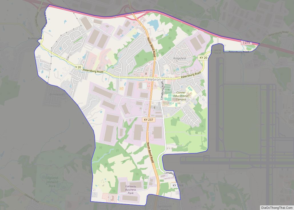
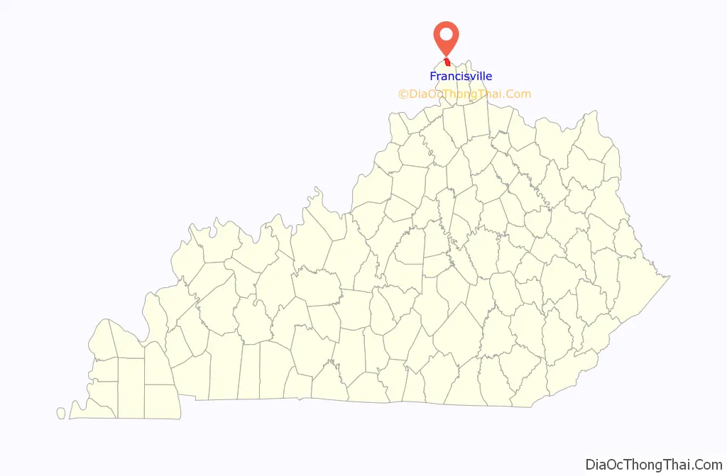
Francisville is a census-designated place (CDP) in Boone County, Kentucky, United States. Its population was 7,944 as of the 2010 census. Francisville shares ZIP code 41048 with the neighboring CDP of Hebron. It is the northernmost community in the state.
| Name: | Francisville CDP |
|---|---|
| LSAD Code: | 57 |
| LSAD Description: | CDP (suffix) |
| State: | Kentucky |
| County: | Boone County |
| Elevation: | 814 ft (248 m) |
| Total Area: | 8.48 sq mi (21.97 km²) |
| Land Area: | 8.48 sq mi (21.97 km²) |
| Water Area: | 0.00 sq mi (0.00 km²) |
| Total Population: | 9,952 |
| Population Density: | 1,173.31/sq mi (452.99/km²) |
| Area code: | 859 |
| FIPS code: | 2128882 |
| GNISfeature ID: | 508033 |
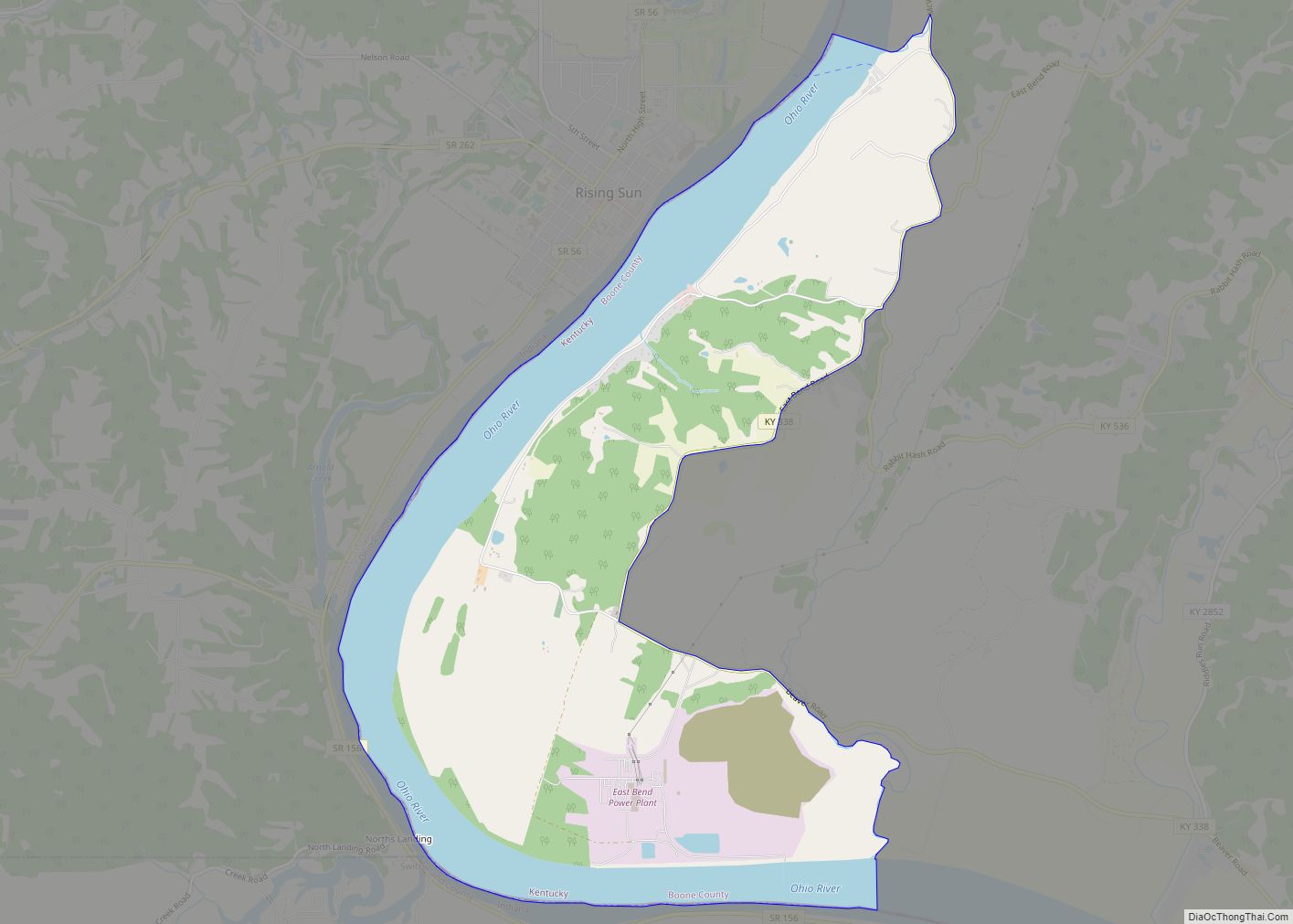
Online Interactive Map
Click on ![]() to view map in "full screen" mode.
to view map in "full screen" mode.
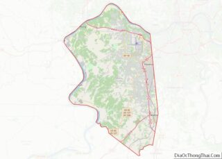
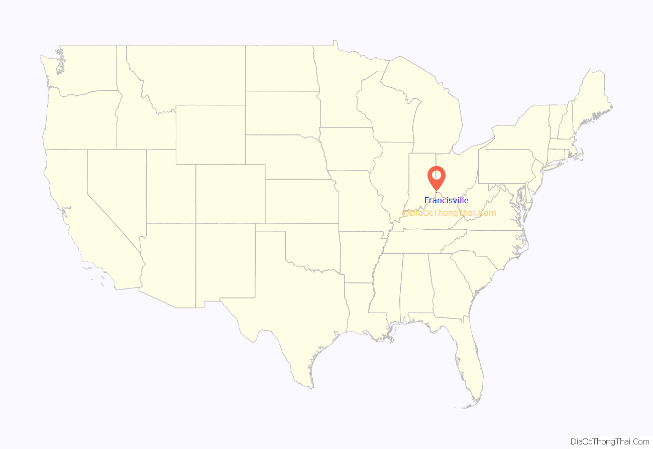
Francisville location map. Where is Francisville CDP?
History
Francisville was founded in 1819, when 77 members of the Bullitsburg Baptist Church decided to establish a church closer to their homes. The Sand Run Baptist Church was built for a cost of $2100. A post office, general store, school, hotel, and tobacco warehouse soon developed around the church.
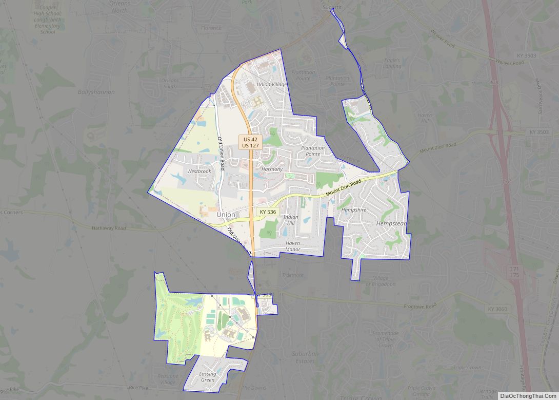
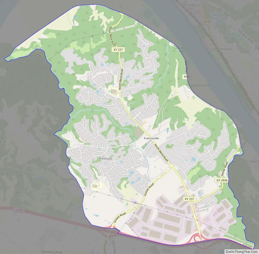
Francisville Road Map
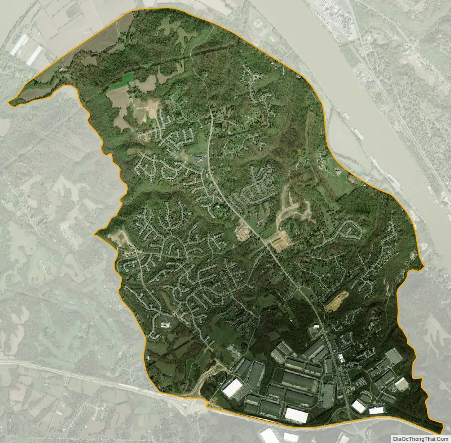
Francisville city Satellite Map
Geography
Francisville is located in northern Boone County, on the southwestern side of the Cincinnati Metropolitan Area. Interstate 275, the beltway around Cincinnati, forms the southern edge of the CDP, with the community of Hebron to the south of I-275. Francisville extends to the north as far as Kentucky Route 8 (River Road) in the Ohio River valley. Kentucky Route 237 (North Bend Road) is the main road through Francisville, extending from KY 8 south to I-275 and beyond into Hebron and Burlington. The entrance to Cincinnati/Northern Kentucky International Airport is located 4 miles (6 km) southeast of Francisville.
According to the U.S. Census Bureau, Francisville has an area of 8.5 square miles (22.0 km), all of it land.
Francisville and Hebron have been experiencing aggressive residential, commercial and business growth. In Francisville the growth is focused along Kentucky Route 237 throughout the southern and central parts of the CDP. The Francisville area is sometimes referred to as the North Bend for its location in the bend of the Ohio River that forms the northernmost geographic area in the state of Kentucky.
Along Kentucky Route 237, 12 subdivisions have recently been under construction, and 2,855 homes have been approved but not yet built. More than 1,100 homes have been built in those subdivisions, according to the Boone County Planning Commission. The developments include the neighborhoods (from south to north) of Cardinal Cove, Parlor Grove, Settlers Point, Treetops, Thornwilde, Wyndemere, Deer Creek, Rivershore Farms, Northpointe, Taylor Ridge and Conway Hills.
Beginning in autumn 2007, Kentucky Route 237 underwent a $19 million rerouting and improvement including widening the road to five lanes from Litton Lane south of Interstate 275 to Cardinal Way. The road is now three lanes from Cardinal Way to just north of North Pointe Elementary School. The improvement features two roundabouts (the second and third of their type in northern Kentucky). One is located at Cardinal Way, the other at the intersection of Graves Road and Old North Bend Road. The project also yielded bike lanes and an 8-foot-wide (2.4 m) pedestrian path. As part of the KY 237 realignment, a TANK Park and Ride facility is located on the west side of the roundabout with Cardinal Way.
See also
Map of Kentucky State and its subdivision:- Adair
- Allen
- Anderson
- Ballard
- Barren
- Bath
- Bell
- Boone
- Bourbon
- Boyd
- Boyle
- Bracken
- Breathitt
- Breckinridge
- Bullitt
- Butler
- Caldwell
- Calloway
- Campbell
- Carlisle
- Carroll
- Carter
- Casey
- Christian
- Clark
- Clay
- Clinton
- Crittenden
- Cumberland
- Daviess
- Edmonson
- Elliott
- Estill
- Fayette
- Fleming
- Floyd
- Franklin
- Fulton
- Gallatin
- Garrard
- Grant
- Graves
- Grayson
- Green
- Greenup
- Hancock
- Hardin
- Harlan
- Harrison
- Hart
- Henderson
- Henry
- Hickman
- Hopkins
- Jackson
- Jefferson
- Jessamine
- Johnson
- Kenton
- Knott
- Knox
- Larue
- Laurel
- Lawrence
- Lee
- Leslie
- Letcher
- Lewis
- Lincoln
- Livingston
- Logan
- Lyon
- Madison
- Magoffin
- Marion
- Marshall
- Martin
- Mason
- McCracken
- McCreary
- McLean
- Meade
- Menifee
- Mercer
- Metcalfe
- Monroe
- Montgomery
- Morgan
- Muhlenberg
- Nelson
- Nicholas
- Ohio
- Oldham
- Owen
- Owsley
- Pendleton
- Perry
- Pike
- Powell
- Pulaski
- Robertson
- Rockcastle
- Rowan
- Russell
- Scott
- Shelby
- Simpson
- Spencer
- Taylor
- Todd
- Trigg
- Trimble
- Union
- Warren
- Washington
- Wayne
- Webster
- Whitley
- Wolfe
- Woodford
- Alabama
- Alaska
- Arizona
- Arkansas
- California
- Colorado
- Connecticut
- Delaware
- District of Columbia
- Florida
- Georgia
- Hawaii
- Idaho
- Illinois
- Indiana
- Iowa
- Kansas
- Kentucky
- Louisiana
- Maine
- Maryland
- Massachusetts
- Michigan
- Minnesota
- Mississippi
- Missouri
- Montana
- Nebraska
- Nevada
- New Hampshire
- New Jersey
- New Mexico
- New York
- North Carolina
- North Dakota
- Ohio
- Oklahoma
- Oregon
- Pennsylvania
- Rhode Island
- South Carolina
- South Dakota
- Tennessee
- Texas
- Utah
- Vermont
- Virginia
- Washington
- West Virginia
- Wisconsin
- Wyoming