Germantown is a home rule-class city in Bracken and Mason counties in the U.S. state of Kentucky. The population was 146 at the 2020 census.
The Bracken County portion of Germantown is part of the Cincinnati/Northern Kentucky metropolitan area, while the Mason County portion is part of the Maysville micropolitan area.
| Name: | Germantown city |
|---|---|
| LSAD Code: | 25 |
| LSAD Description: | city (suffix) |
| State: | Kentucky |
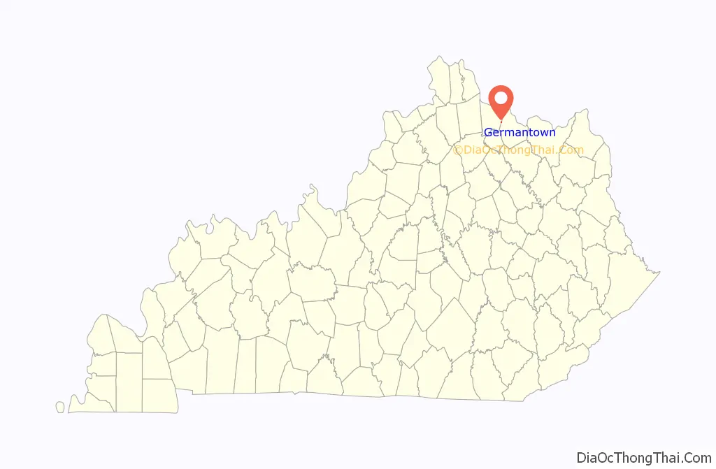
| County: | Bracken County, Mason County |
| Elevation: | 968 ft (295 m) |
| Total Area: | 0.12 sq mi (0.32 km²) |
| Land Area: | 0.12 sq mi (0.32 km²) |
| Water Area: | 0.00 sq mi (0.00 km²) |
| Total Population: | 146 |
| Population Density: | 1,196.72/sq mi (460.41/km²) |
| ZIP code: | 41044 |
| Area code: | 606 |
| FIPS code: | 2130718 |
| GNISfeature ID: | 0492795 |
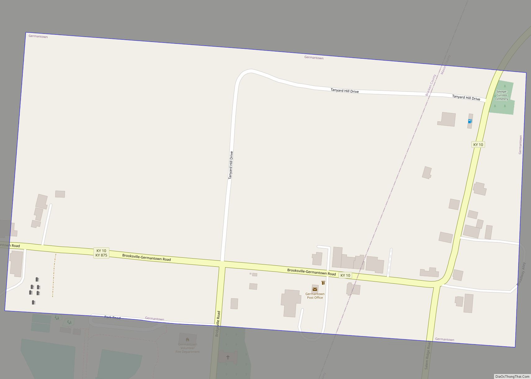
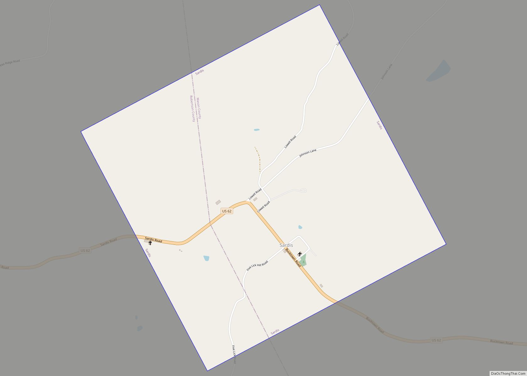
Online Interactive Map
Click on ![]() to view map in "full screen" mode.
to view map in "full screen" mode.
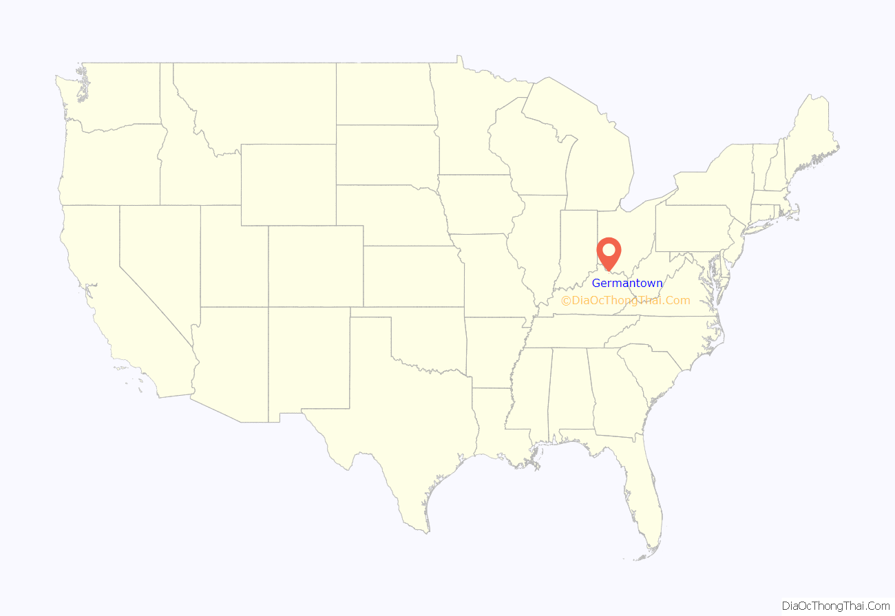
Germantown location map. Where is Germantown city?
History
Germantown was platted in 1794 and named after German immigrants. The city was incorporated by the Virginia state legislature in 1795. A post office called “Germantown” has been in operation since 1817.
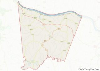
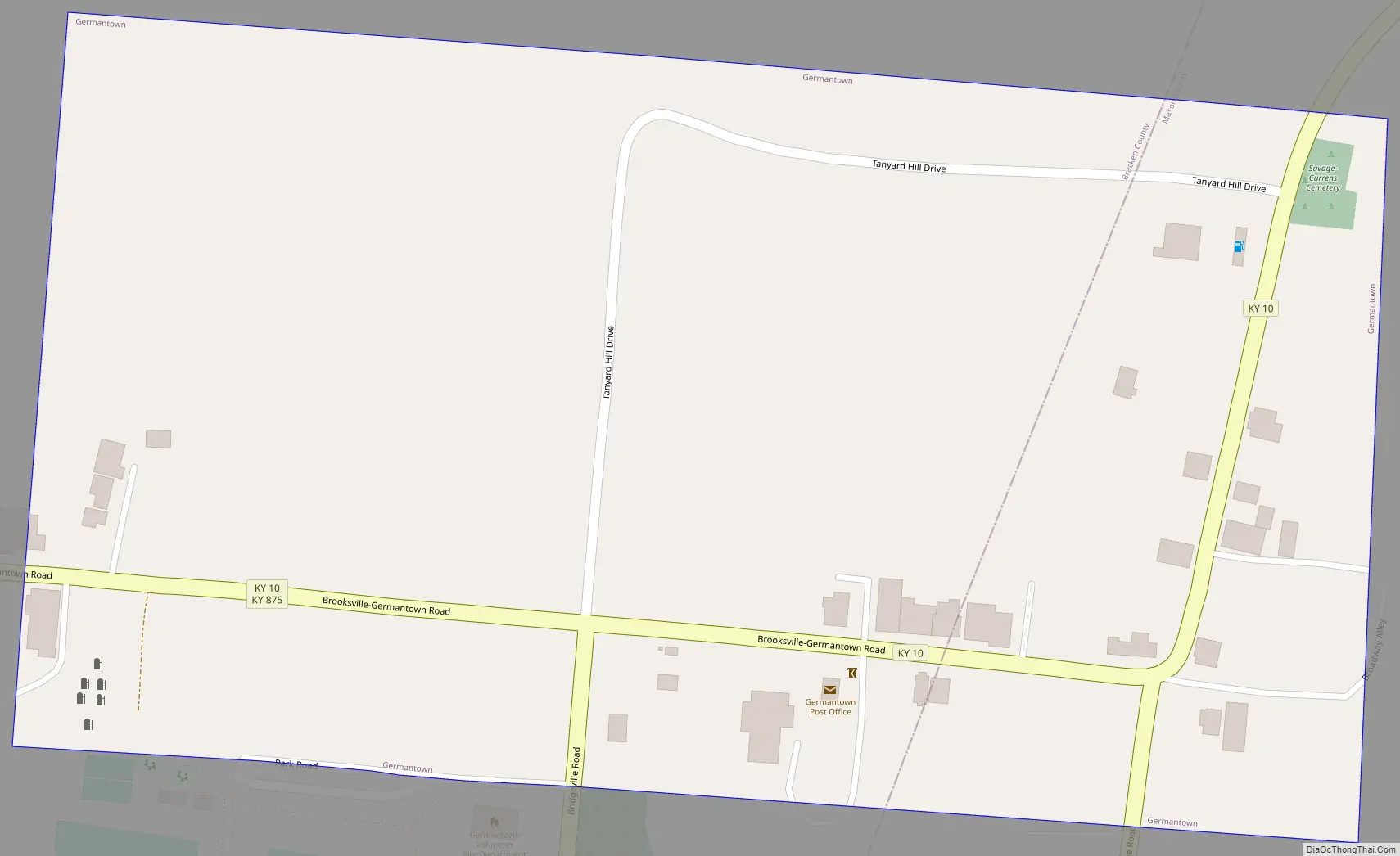
Germantown Road Map
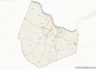
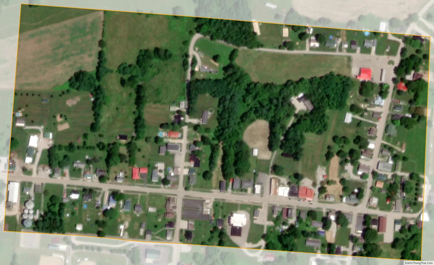
Germantown city Satellite Map
Geography
Germantown is located at 38°39′17″N 83°57′48″W / 38.65472°N 83.96333°W / 38.65472; -83.96333 (38.654693, -83.963397). It is primarily in eastern Bracken County and extends into western Mason County. Kentucky Route 10 passes through the center of town, leading east (via Kentucky Route 9) 13 miles (21 km) to Maysville on the Ohio River, and west 6 miles (10 km) to Brooksville, the Bracken County seat.
According to the U.S. Census Bureau, Germantown has a total area of 0.12 square miles (0.31 km), all land. The city sits on a ridge that drains north to Bracken Creek, east to Pommel Creek, south to Two Lick Creek, and southwest to Camp Creek. Bracken Creek is a direct tributary of the Ohio River, joining it at Augusta, while the other three creeks are all tributaries of the North Fork of the Licking River, which flows northwest to join the Ohio River at Covington and Newport.
See also
Map of Kentucky State and its subdivision:- Adair
- Allen
- Anderson
- Ballard
- Barren
- Bath
- Bell
- Boone
- Bourbon
- Boyd
- Boyle
- Bracken
- Breathitt
- Breckinridge
- Bullitt
- Butler
- Caldwell
- Calloway
- Campbell
- Carlisle
- Carroll
- Carter
- Casey
- Christian
- Clark
- Clay
- Clinton
- Crittenden
- Cumberland
- Daviess
- Edmonson
- Elliott
- Estill
- Fayette
- Fleming
- Floyd
- Franklin
- Fulton
- Gallatin
- Garrard
- Grant
- Graves
- Grayson
- Green
- Greenup
- Hancock
- Hardin
- Harlan
- Harrison
- Hart
- Henderson
- Henry
- Hickman
- Hopkins
- Jackson
- Jefferson
- Jessamine
- Johnson
- Kenton
- Knott
- Knox
- Larue
- Laurel
- Lawrence
- Lee
- Leslie
- Letcher
- Lewis
- Lincoln
- Livingston
- Logan
- Lyon
- Madison
- Magoffin
- Marion
- Marshall
- Martin
- Mason
- McCracken
- McCreary
- McLean
- Meade
- Menifee
- Mercer
- Metcalfe
- Monroe
- Montgomery
- Morgan
- Muhlenberg
- Nelson
- Nicholas
- Ohio
- Oldham
- Owen
- Owsley
- Pendleton
- Perry
- Pike
- Powell
- Pulaski
- Robertson
- Rockcastle
- Rowan
- Russell
- Scott
- Shelby
- Simpson
- Spencer
- Taylor
- Todd
- Trigg
- Trimble
- Union
- Warren
- Washington
- Wayne
- Webster
- Whitley
- Wolfe
- Woodford
- Alabama
- Alaska
- Arizona
- Arkansas
- California
- Colorado
- Connecticut
- Delaware
- District of Columbia
- Florida
- Georgia
- Hawaii
- Idaho
- Illinois
- Indiana
- Iowa
- Kansas
- Kentucky
- Louisiana
- Maine
- Maryland
- Massachusetts
- Michigan
- Minnesota
- Mississippi
- Missouri
- Montana
- Nebraska
- Nevada
- New Hampshire
- New Jersey
- New Mexico
- New York
- North Carolina
- North Dakota
- Ohio
- Oklahoma
- Oregon
- Pennsylvania
- Rhode Island
- South Carolina
- South Dakota
- Tennessee
- Texas
- Utah
- Vermont
- Virginia
- Washington
- West Virginia
- Wisconsin
- Wyoming