Loretto is a home rule-class city in Marion County, Kentucky, United States. The population was 723 at the 2020 census.
It is best known as the home of the Maker’s Mark bourbon distillery.
| Name: | Loretto city |
|---|---|
| LSAD Code: | 25 |
| LSAD Description: | city (suffix) |
| State: | Kentucky |
| County: | Marion County |
| Incorporated: | 1866 |
| Elevation: | 738 ft (225 m) |
| Total Area: | 3.22 sq mi (8.34 km²) |
| Land Area: | 3.19 sq mi (8.26 km²) |
| Water Area: | 0.03 sq mi (0.08 km²) |
| Total Population: | 723 |
| Population Density: | 226.72/sq mi (87.54/km²) |
| ZIP code: | 40037 |
| Area code: | 270 & 364 |
| FIPS code: | 2147710 |
| GNISfeature ID: | 0497170 |
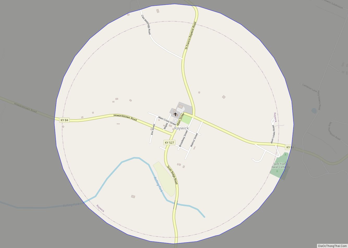
Online Interactive Map
Click on ![]() to view map in "full screen" mode.
to view map in "full screen" mode.
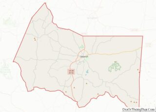
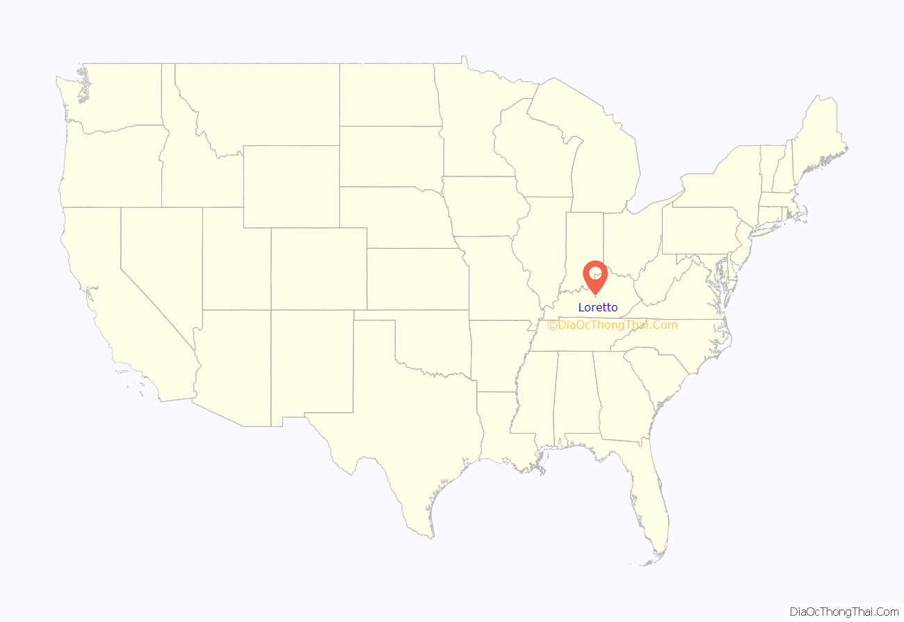
Loretto location map. Where is Loretto city?
History
The city takes its name from the Sisters of Loretto, a Catholic congregation founded in 1812 at nearby St. Mary. The sisters themselves were named for Loreto in Italy, the site of the Basilica della Santa Casa which supposedly contains the original home of the Virgin Mary.
The sisters began a school at the site to educate the frontier children. By 1833, the community was large enough for its own post office. It was formally incorporated in 1866.
The Maker’s Mark distillery in Loretto is rooted in a distillery established by Charles Burks in the early 19th century, and drastically expanded by his descendants in the late 1880s. The distillery was purchased by Bill Samuels in 1953, and the brand was renamed “Maker’s Mark”. The distillery, located 3 miles (5 km) east of Loretto, is listed on the National Register of Historic Places, and has been designated a National Historic Landmark. Its prominent barrel warehouses are concentrated in the western part of Loretto.
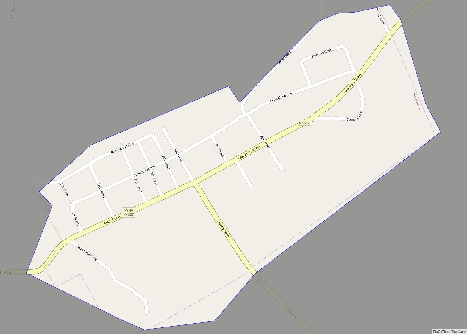
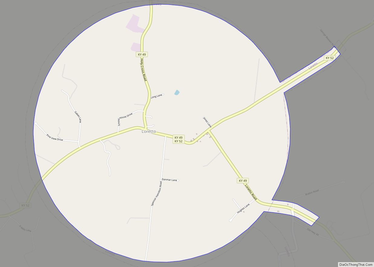
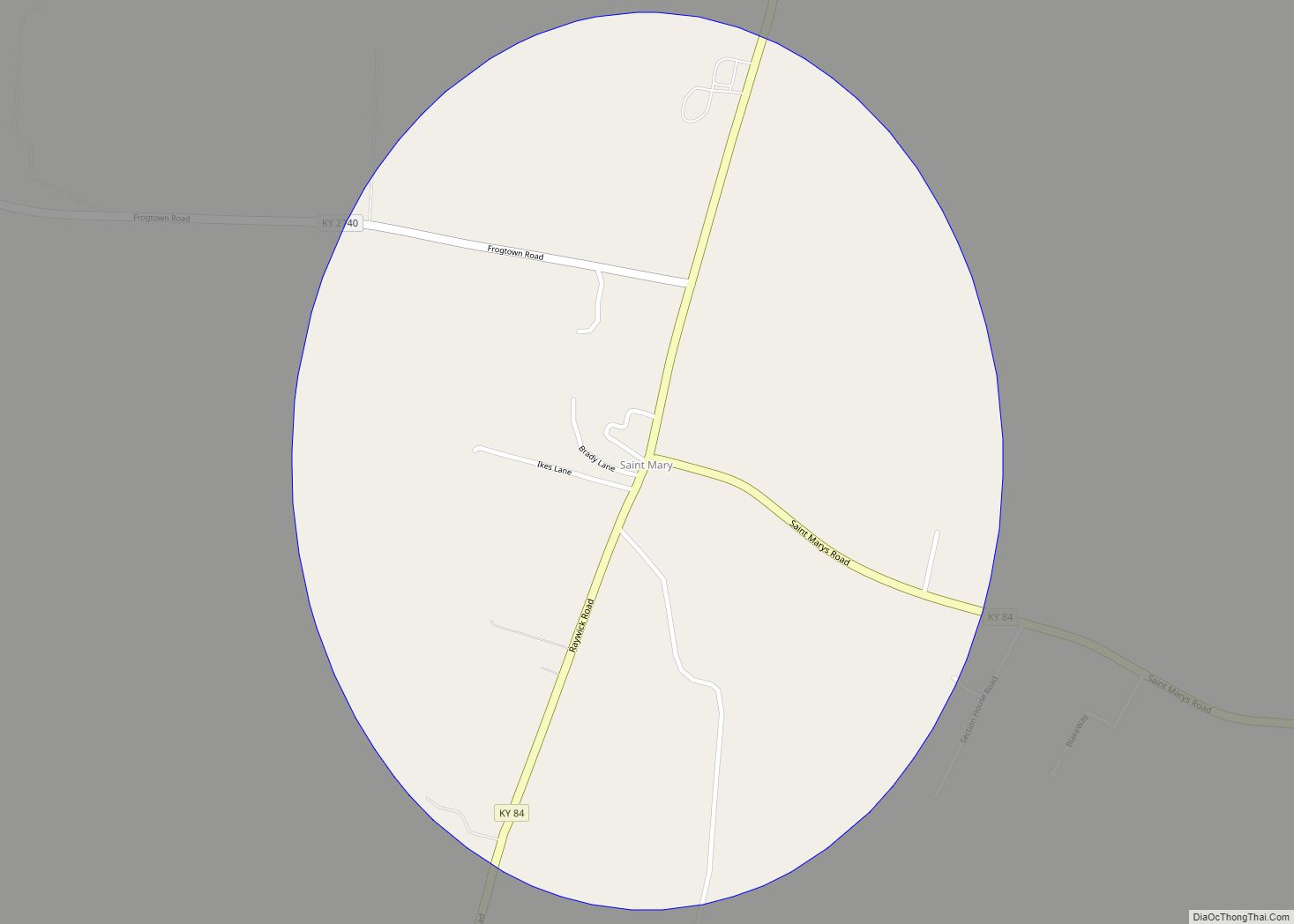
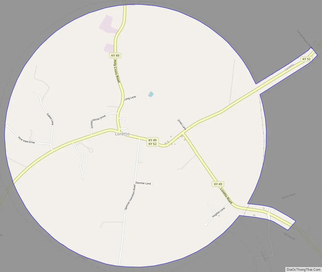
Loretto Road Map
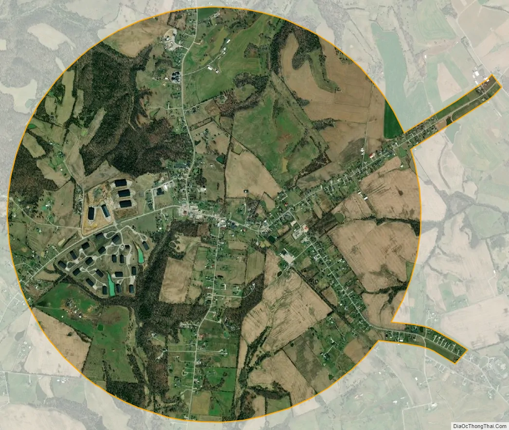
Loretto city Satellite Map
Geography
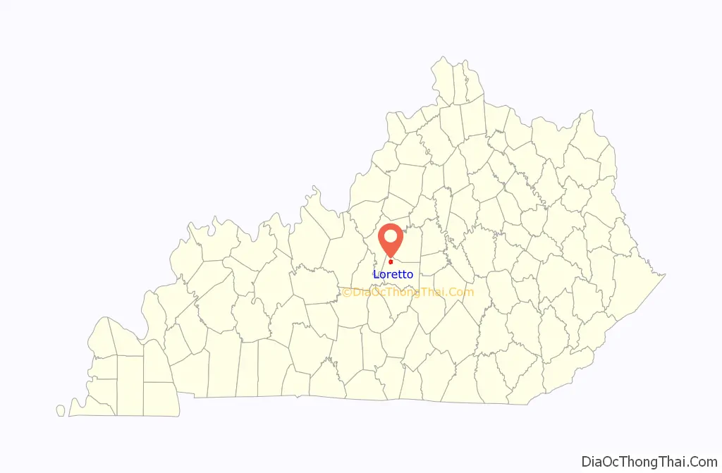
Loretto is located in northwestern Marion County at 37°38′8″N 85°23′12″W / 37.63556°N 85.38667°W / 37.63556; -85.38667 (37.635576, -85.386601). According to the United States Census Bureau, the city has a total area of 3.2 square miles (8.3 km), of which 0.03 square miles (0.08 km), or 1.02%, are water. The city is concentrated around the intersection of Kentucky Route 52 and Kentucky Route 49, 10 miles (16 km) northwest of Lebanon, 13 miles (21 km) southwest of Springfield, and 15 miles (24 km) south of Bardstown.
See also
Map of Kentucky State and its subdivision:- Adair
- Allen
- Anderson
- Ballard
- Barren
- Bath
- Bell
- Boone
- Bourbon
- Boyd
- Boyle
- Bracken
- Breathitt
- Breckinridge
- Bullitt
- Butler
- Caldwell
- Calloway
- Campbell
- Carlisle
- Carroll
- Carter
- Casey
- Christian
- Clark
- Clay
- Clinton
- Crittenden
- Cumberland
- Daviess
- Edmonson
- Elliott
- Estill
- Fayette
- Fleming
- Floyd
- Franklin
- Fulton
- Gallatin
- Garrard
- Grant
- Graves
- Grayson
- Green
- Greenup
- Hancock
- Hardin
- Harlan
- Harrison
- Hart
- Henderson
- Henry
- Hickman
- Hopkins
- Jackson
- Jefferson
- Jessamine
- Johnson
- Kenton
- Knott
- Knox
- Larue
- Laurel
- Lawrence
- Lee
- Leslie
- Letcher
- Lewis
- Lincoln
- Livingston
- Logan
- Lyon
- Madison
- Magoffin
- Marion
- Marshall
- Martin
- Mason
- McCracken
- McCreary
- McLean
- Meade
- Menifee
- Mercer
- Metcalfe
- Monroe
- Montgomery
- Morgan
- Muhlenberg
- Nelson
- Nicholas
- Ohio
- Oldham
- Owen
- Owsley
- Pendleton
- Perry
- Pike
- Powell
- Pulaski
- Robertson
- Rockcastle
- Rowan
- Russell
- Scott
- Shelby
- Simpson
- Spencer
- Taylor
- Todd
- Trigg
- Trimble
- Union
- Warren
- Washington
- Wayne
- Webster
- Whitley
- Wolfe
- Woodford
- Alabama
- Alaska
- Arizona
- Arkansas
- California
- Colorado
- Connecticut
- Delaware
- District of Columbia
- Florida
- Georgia
- Hawaii
- Idaho
- Illinois
- Indiana
- Iowa
- Kansas
- Kentucky
- Louisiana
- Maine
- Maryland
- Massachusetts
- Michigan
- Minnesota
- Mississippi
- Missouri
- Montana
- Nebraska
- Nevada
- New Hampshire
- New Jersey
- New Mexico
- New York
- North Carolina
- North Dakota
- Ohio
- Oklahoma
- Oregon
- Pennsylvania
- Rhode Island
- South Carolina
- South Dakota
- Tennessee
- Texas
- Utah
- Vermont
- Virginia
- Washington
- West Virginia
- Wisconsin
- Wyoming