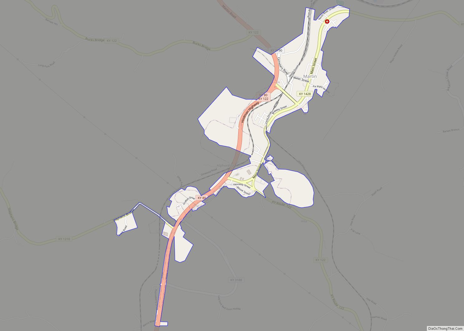
Martin is a home rule-class city in Floyd County, Kentucky, in the United States. The population was 634 as of the 2010 census.
| Name: | Martin city |
|---|---|
| LSAD Code: | 25 |
| LSAD Description: | city (suffix) |
| State: | Kentucky |
| County: | Floyd County |
| Incorporated: | 1920 |
| Elevation: | 659 ft (201 m) |
| Total Area: | 0.76 sq mi (1.95 km²) |
| Land Area: | 0.73 sq mi (1.90 km²) |
| Water Area: | 0.02 sq mi (0.06 km²) |
| Total Population: | 513 |
| Population Density: | 700.82/sq mi (270.62/km²) |
| ZIP code: | 41649 |
| Area code: | 606 |
| FIPS code: | 2150286 |
| GNISfeature ID: | 0497596 |
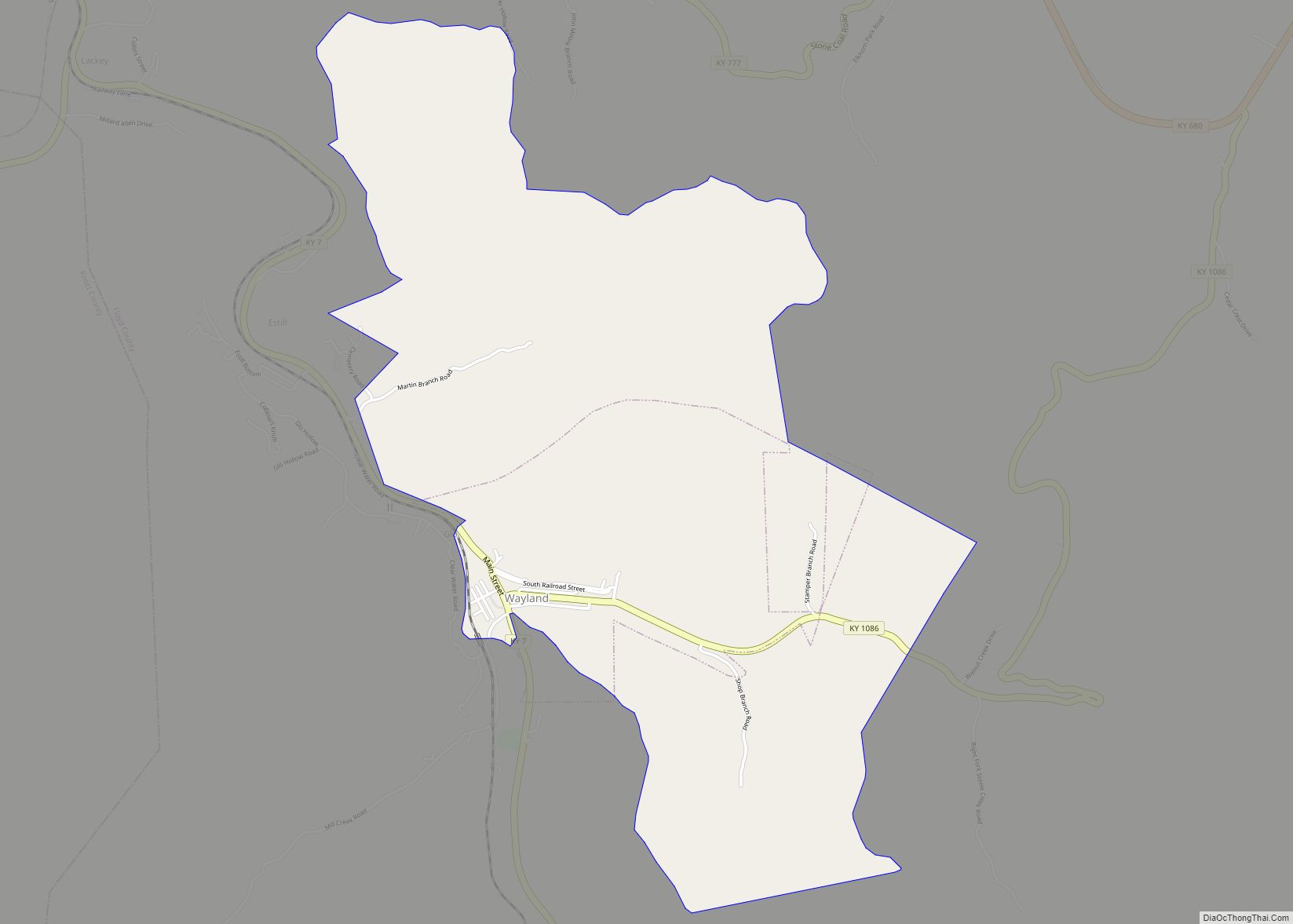
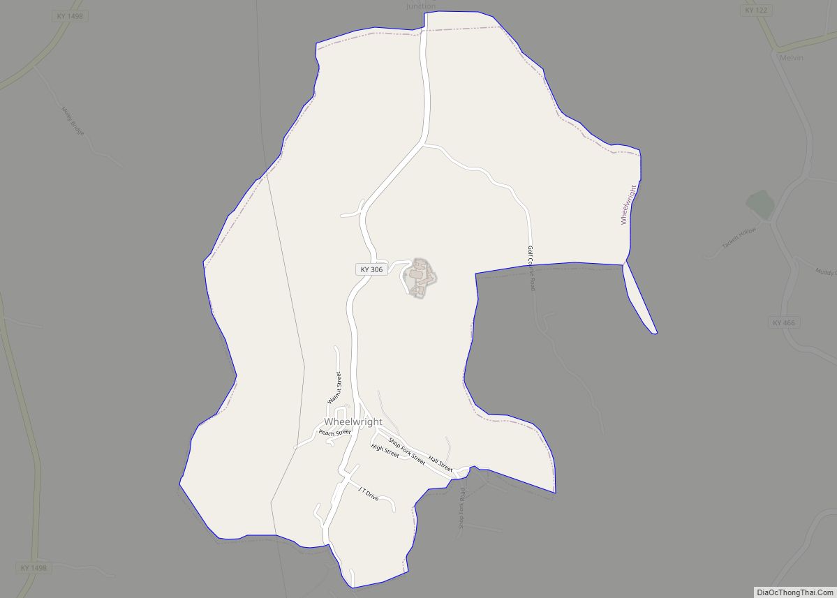
Online Interactive Map
Click on ![]() to view map in "full screen" mode.
to view map in "full screen" mode.
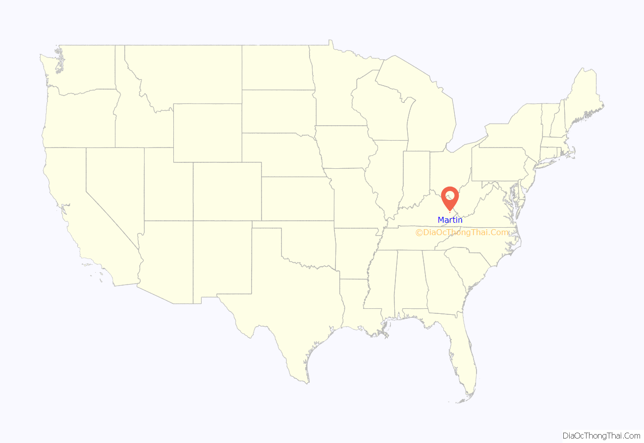
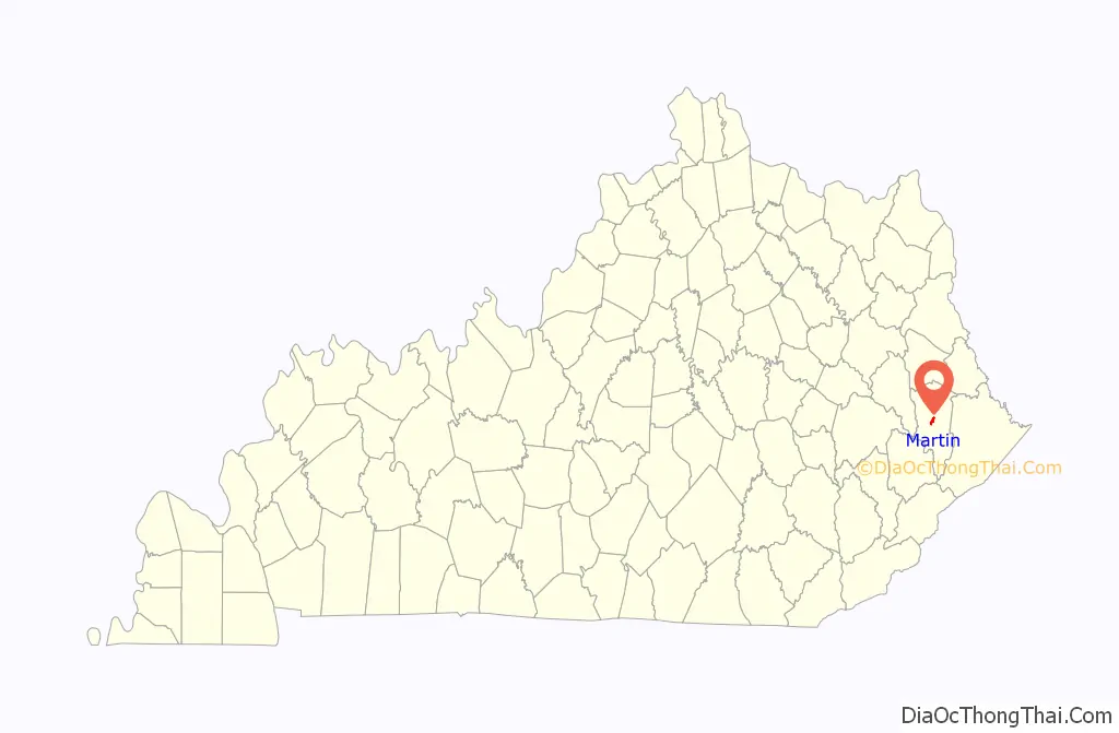
Martin location map. Where is Martin city?
History
Martin developed as a coal mining community in the early 1900s. Its first post office, established in 1910, was named “Bucks Branch” after a tributary of Beaver Creek, the stream that runs through the city. In 1913, the community was renamed “Smalley” after a local landowner, Smalley Crisp. By 1915, however, the community had been renamed “Martin” after the postmaster, Martin Van Allen. The post office began officially using this name in 1926.
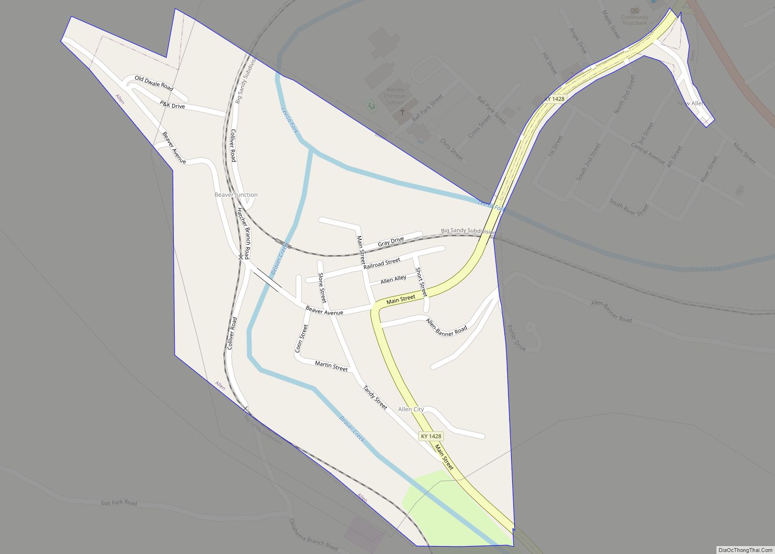
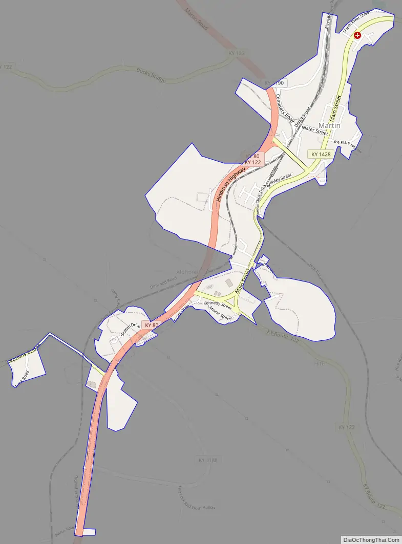
Martin Road Map
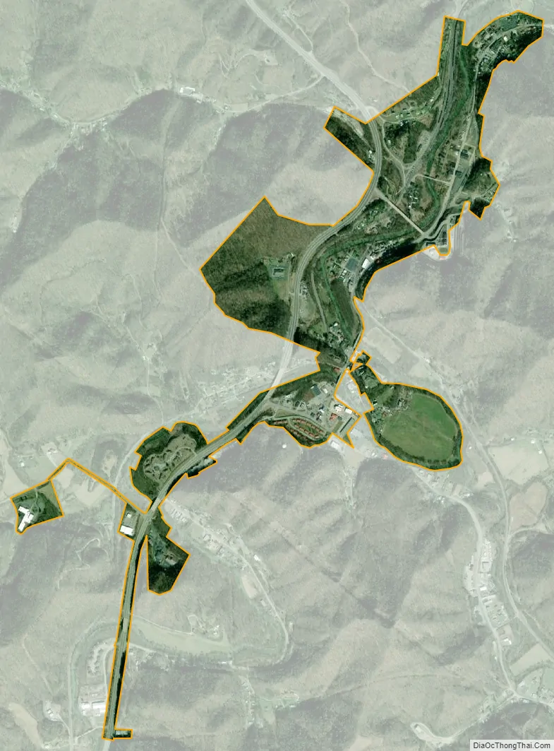
Martin city Satellite Map
Geography
Martin is located near the center of Floyd County at 37°34′4″N 82°45′34″W / 37.56778°N 82.75944°W / 37.56778; -82.75944 (37.567791, -82.759465). Kentucky Routes 80 and 122 run along the western side of the city. KY 80 leads southwest 41 miles (66 km) to Hazard and north 5 miles (8 km) to U.S. Route 23 at a point 3 miles (5 km) south of Prestonsburg, the county seat. KY 122 leads northwest by a narrower road 11 miles (18 km) to Prestonsburg and south 4 miles (6 km) to Printer. Kentucky Route 1428 (signed as Main Street within the city) connects Martin with Allen to the northeast.
According to the United States Census Bureau, the city of Martin has a total area of 0.75 square miles (1.95 km), of which 0.02 square miles (0.05 km), or 2.67%, is water. Beaver Creek, a tributary of the Levisa Fork, flows northward through the center of Martin.
See also
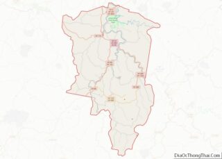
Map of Kentucky State and its subdivision:- Adair
- Allen
- Anderson
- Ballard
- Barren
- Bath
- Bell
- Boone
- Bourbon
- Boyd
- Boyle
- Bracken
- Breathitt
- Breckinridge
- Bullitt
- Butler
- Caldwell
- Calloway
- Campbell
- Carlisle
- Carroll
- Carter
- Casey
- Christian
- Clark
- Clay
- Clinton
- Crittenden
- Cumberland
- Daviess
- Edmonson
- Elliott
- Estill
- Fayette
- Fleming
- Floyd
- Franklin
- Fulton
- Gallatin
- Garrard
- Grant
- Graves
- Grayson
- Green
- Greenup
- Hancock
- Hardin
- Harlan
- Harrison
- Hart
- Henderson
- Henry
- Hickman
- Hopkins
- Jackson
- Jefferson
- Jessamine
- Johnson
- Kenton
- Knott
- Knox
- Larue
- Laurel
- Lawrence
- Lee
- Leslie
- Letcher
- Lewis
- Lincoln
- Livingston
- Logan
- Lyon
- Madison
- Magoffin
- Marion
- Marshall
- Martin
- Mason
- McCracken
- McCreary
- McLean
- Meade
- Menifee
- Mercer
- Metcalfe
- Monroe
- Montgomery
- Morgan
- Muhlenberg
- Nelson
- Nicholas
- Ohio
- Oldham
- Owen
- Owsley
- Pendleton
- Perry
- Pike
- Powell
- Pulaski
- Robertson
- Rockcastle
- Rowan
- Russell
- Scott
- Shelby
- Simpson
- Spencer
- Taylor
- Todd
- Trigg
- Trimble
- Union
- Warren
- Washington
- Wayne
- Webster
- Whitley
- Wolfe
- Woodford
- Alabama
- Alaska
- Arizona
- Arkansas
- California
- Colorado
- Connecticut
- Delaware
- District of Columbia
- Florida
- Georgia
- Hawaii
- Idaho
- Illinois
- Indiana
- Iowa
- Kansas
- Kentucky
- Louisiana
- Maine
- Maryland
- Massachusetts
- Michigan
- Minnesota
- Mississippi
- Missouri
- Montana
- Nebraska
- Nevada
- New Hampshire
- New Jersey
- New Mexico
- New York
- North Carolina
- North Dakota
- Ohio
- Oklahoma
- Oregon
- Pennsylvania
- Rhode Island
- South Carolina
- South Dakota
- Tennessee
- Texas
- Utah
- Vermont
- Virginia
- Washington
- West Virginia
- Wisconsin
- Wyoming