Ryland Heights is a home rule-class city in Kenton County, Kentucky, in the United States. The population was 1,022 at the 2010 census, up from 799 at the 2000 census. It is part of the Cincinnati metropolitan area.
| Name: | Ryland Heights city |
|---|---|
| LSAD Code: | 25 |
| LSAD Description: | city (suffix) |
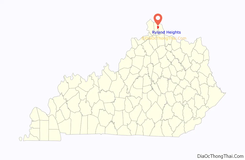
| State: | Kentucky |
| County: | Kenton County |
| Incorporated: | 1972 |
| Elevation: | 866 ft (264 m) |
| Total Area: | 5.45 sq mi (14.11 km²) |
| Land Area: | 5.24 sq mi (13.57 km²) |
| Water Area: | 0.21 sq mi (0.53 km²) |
| Total Population: | 922 |
| Population Density: | 175.95/sq mi (67.94/km²) |
| ZIP code: | 41015 |
| Area code: | 859 |
| FIPS code: | 2167602 |
| GNISfeature ID: | 0502545 |
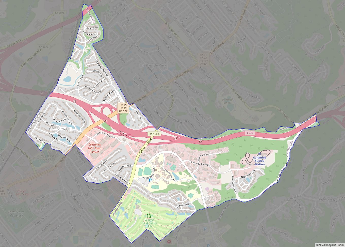
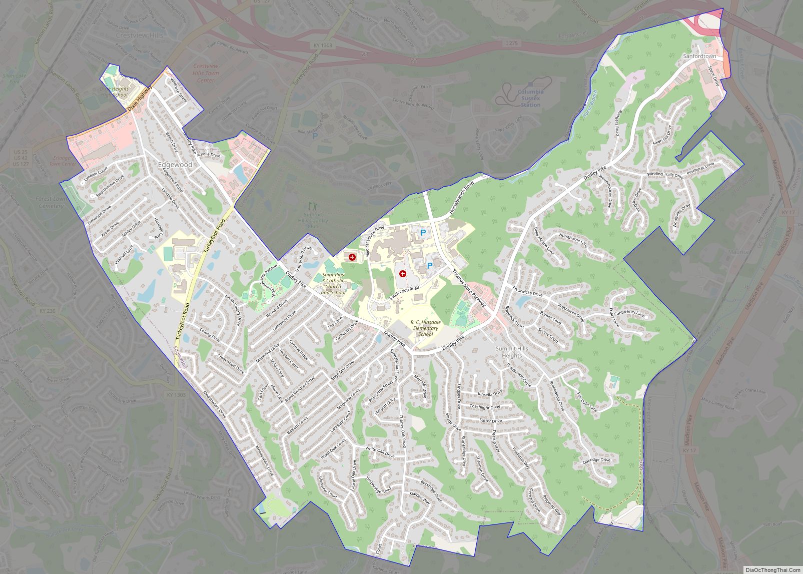
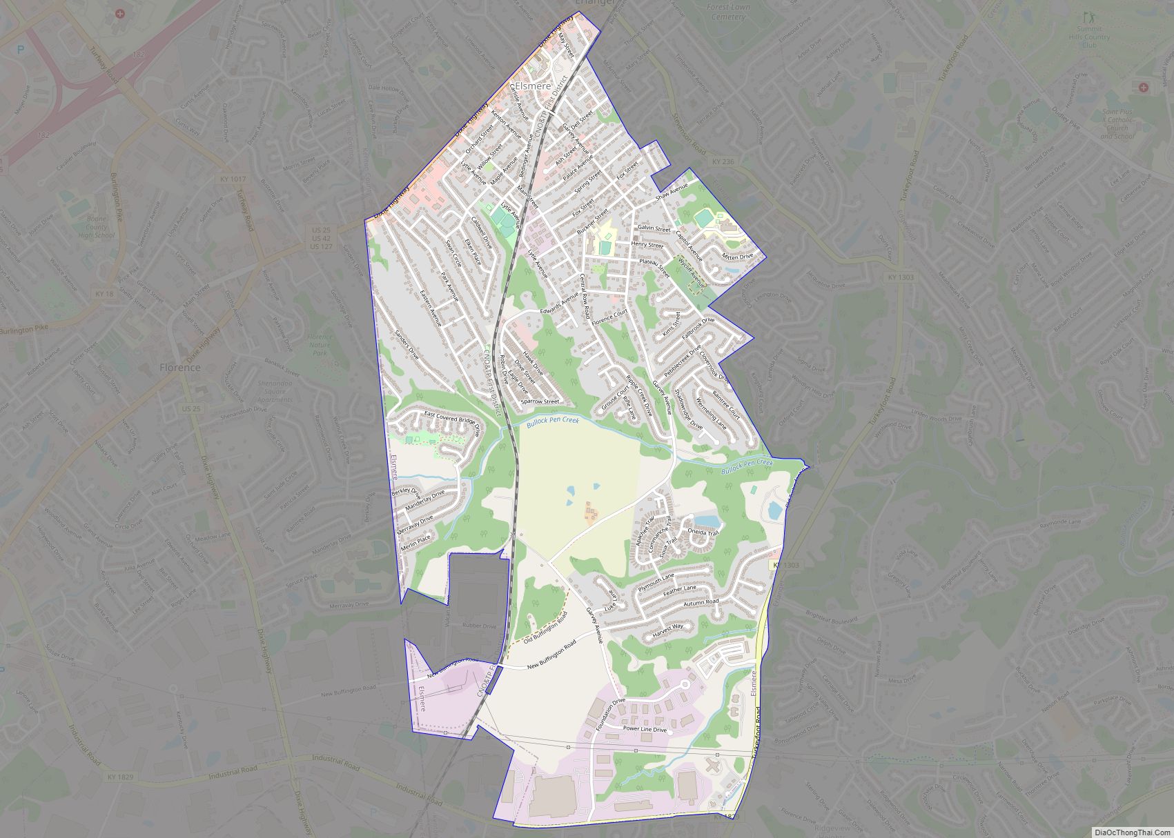
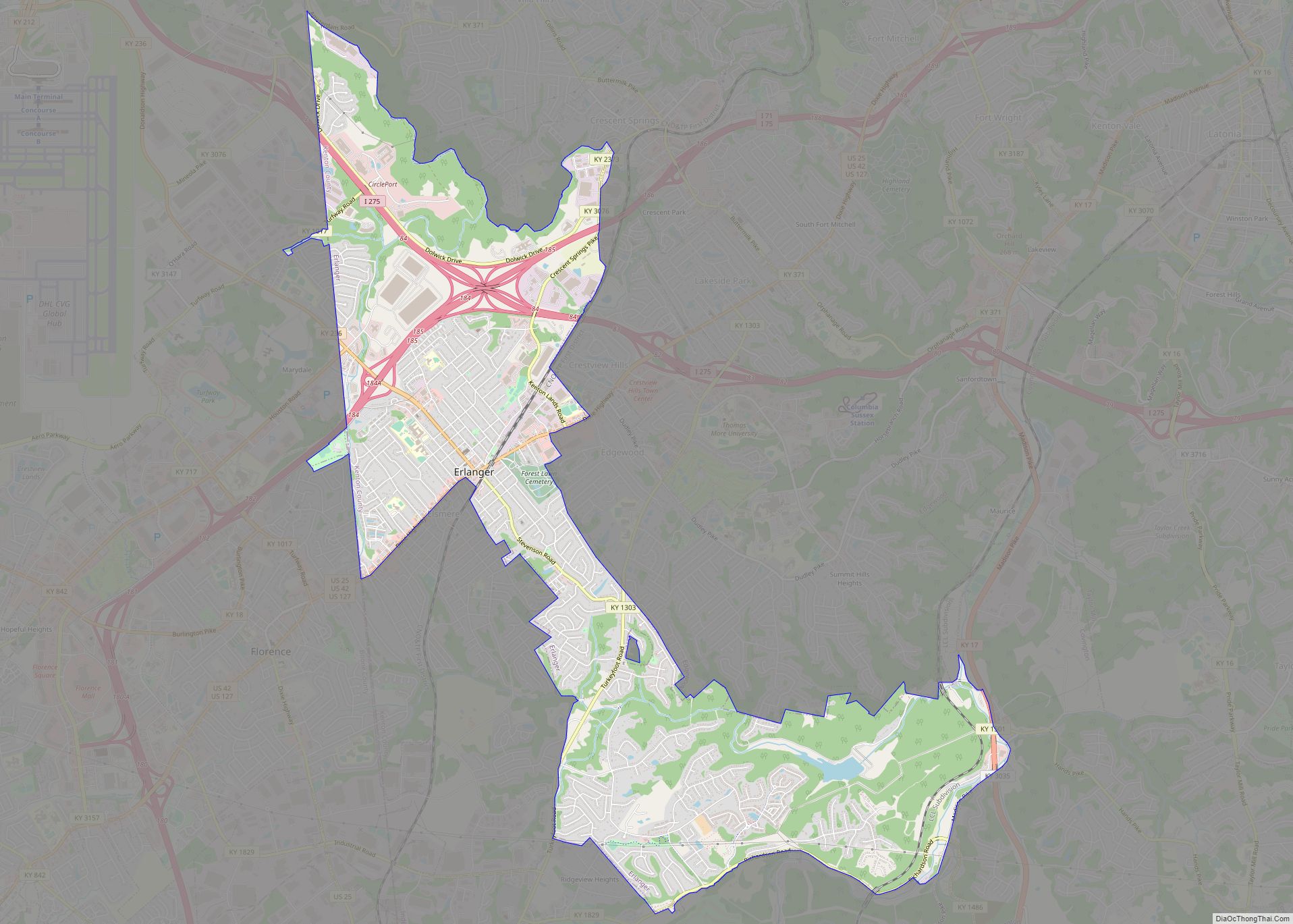
Online Interactive Map
Click on ![]() to view map in "full screen" mode.
to view map in "full screen" mode.
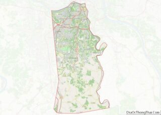
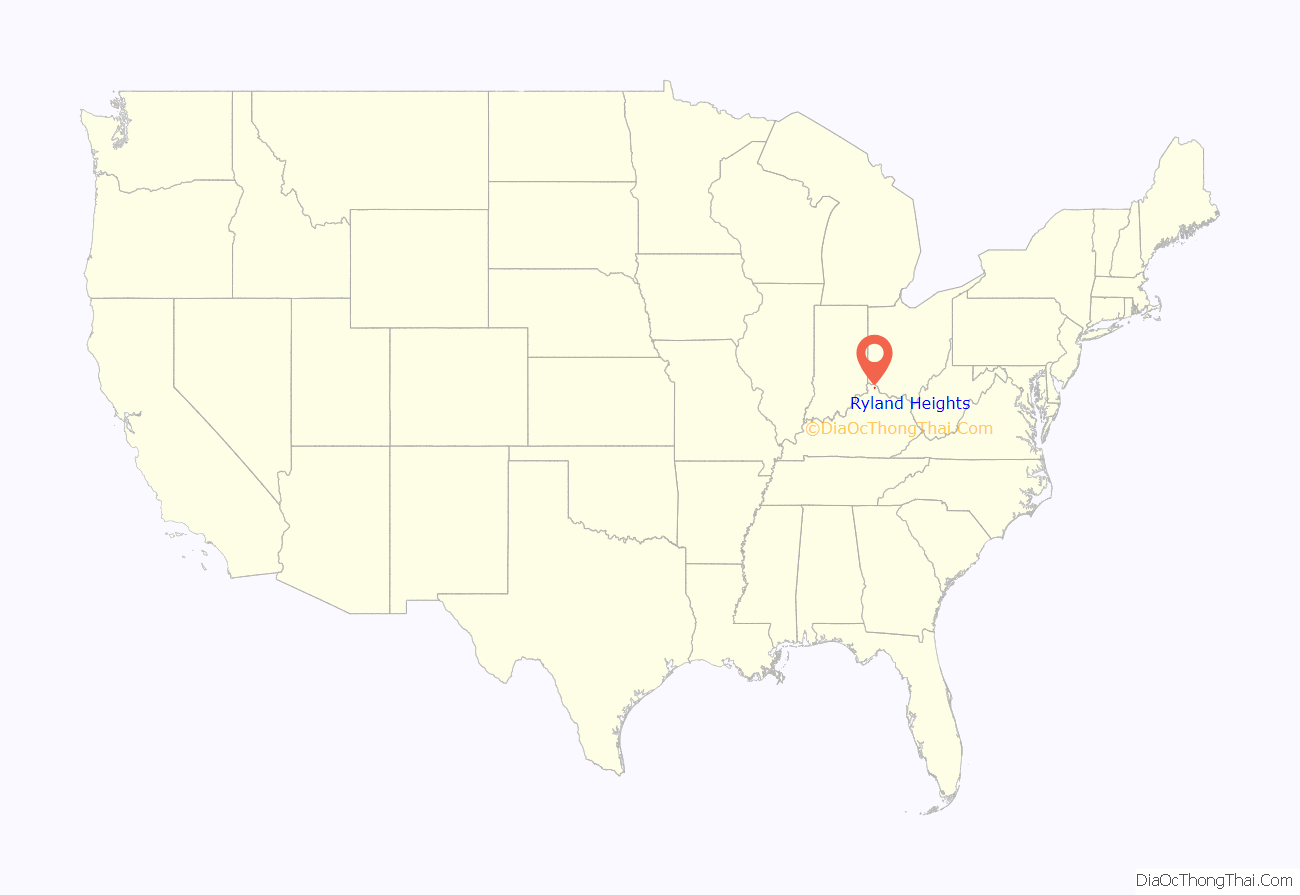
Ryland Heights location map. Where is Ryland Heights city?
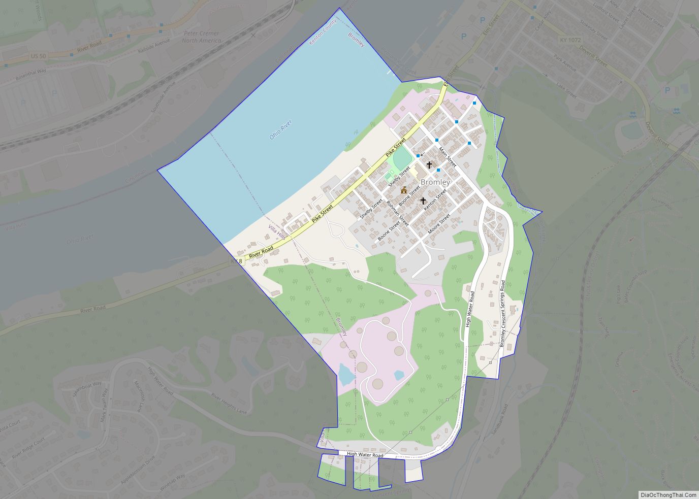
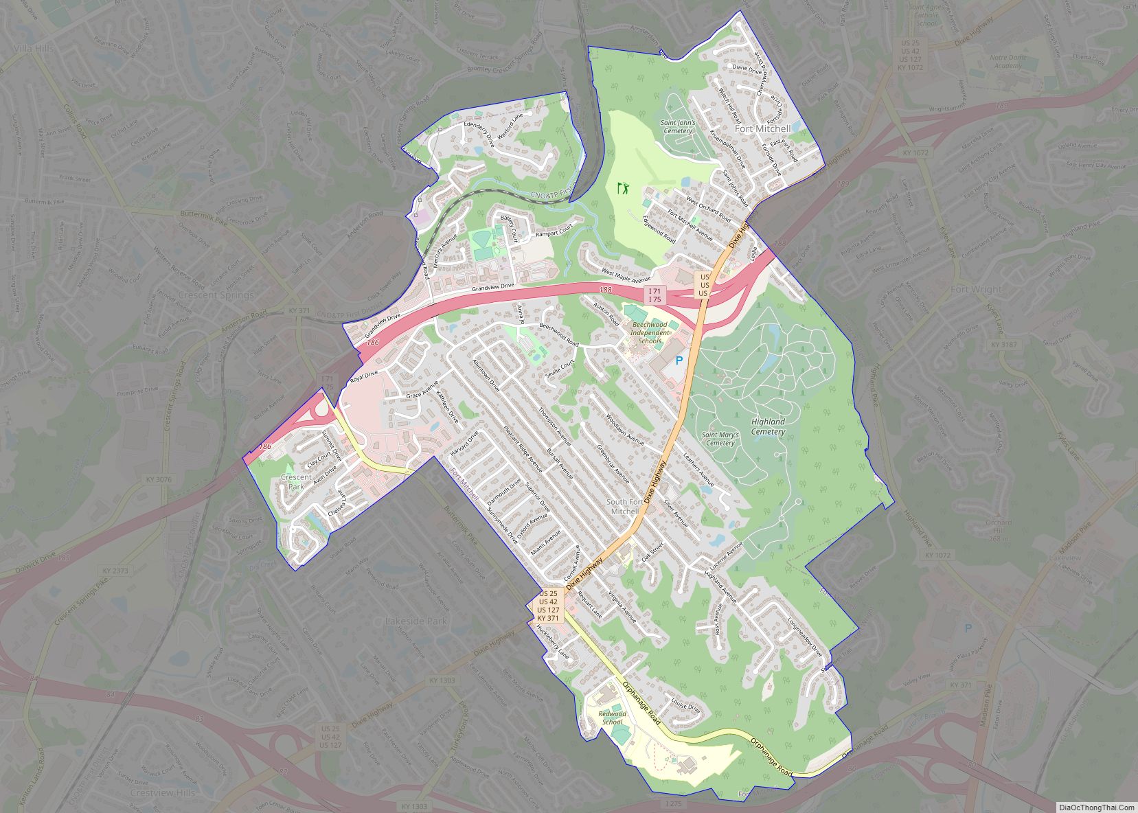
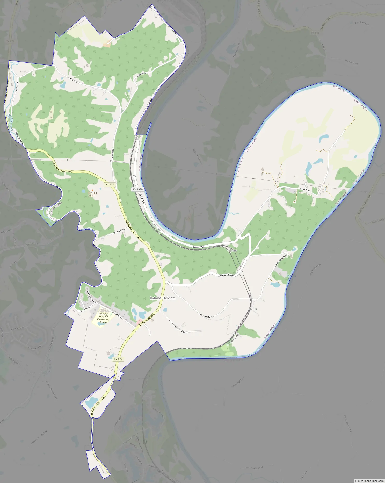
Ryland Heights Road Map
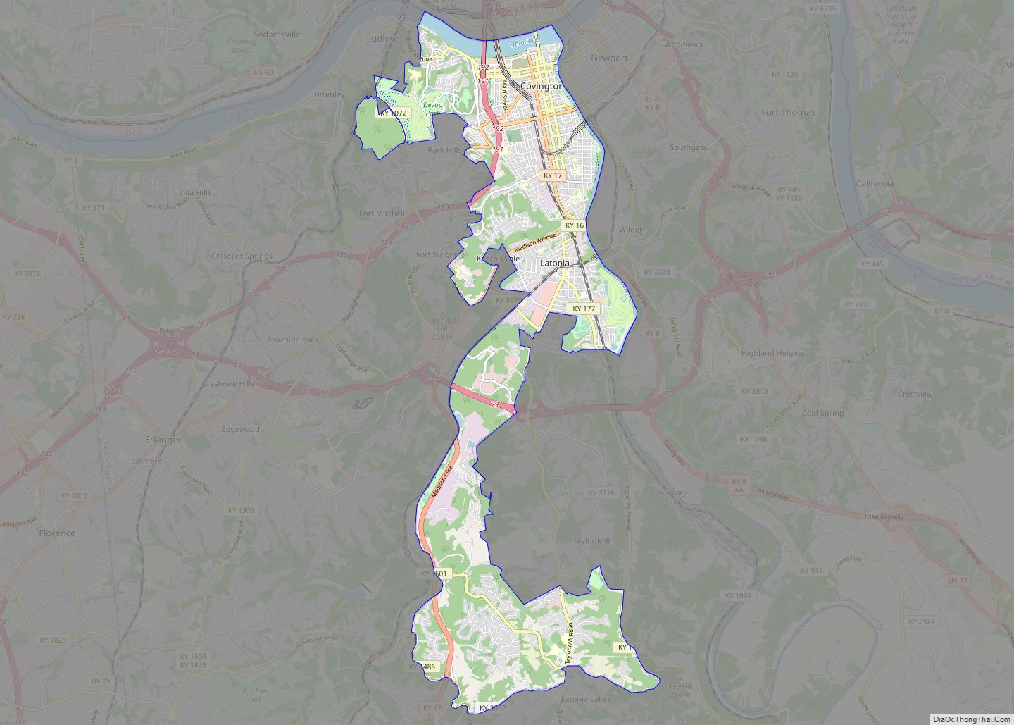
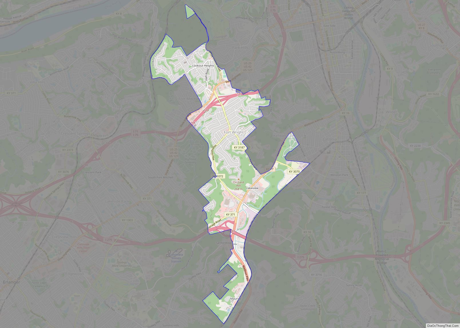
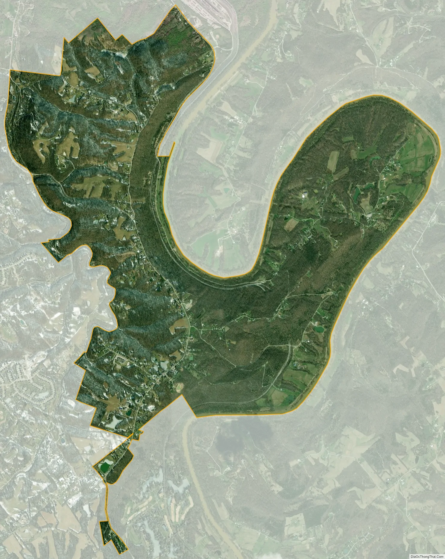
Ryland Heights city Satellite Map
Geography
Ryland Heights is located at 38°57′58″N 84°28′15″W / 38.96611°N 84.47083°W / 38.96611; -84.47083 (38.965979, -84.470914) in eastern Kenton County. It is bordered to the east by the Licking River, which forms the Campbell County line. Neighboring cities are Independence and Covington to the west, Fairview to the northwest, and Taylor Mill to the north. Kentucky Route 177 passes through the community, leading north 10 miles (16 km) to downtown Covington and south 17 miles (27 km) to Butler.
According to the United States Census Bureau, Ryland Heights has a total area of 5.29 square miles (13.71 km), of which 5.23 square miles (13.55 km) are land and 0.06 square miles (0.16 km), or 1.17%, are water.
See also
Map of Kentucky State and its subdivision:- Adair
- Allen
- Anderson
- Ballard
- Barren
- Bath
- Bell
- Boone
- Bourbon
- Boyd
- Boyle
- Bracken
- Breathitt
- Breckinridge
- Bullitt
- Butler
- Caldwell
- Calloway
- Campbell
- Carlisle
- Carroll
- Carter
- Casey
- Christian
- Clark
- Clay
- Clinton
- Crittenden
- Cumberland
- Daviess
- Edmonson
- Elliott
- Estill
- Fayette
- Fleming
- Floyd
- Franklin
- Fulton
- Gallatin
- Garrard
- Grant
- Graves
- Grayson
- Green
- Greenup
- Hancock
- Hardin
- Harlan
- Harrison
- Hart
- Henderson
- Henry
- Hickman
- Hopkins
- Jackson
- Jefferson
- Jessamine
- Johnson
- Kenton
- Knott
- Knox
- Larue
- Laurel
- Lawrence
- Lee
- Leslie
- Letcher
- Lewis
- Lincoln
- Livingston
- Logan
- Lyon
- Madison
- Magoffin
- Marion
- Marshall
- Martin
- Mason
- McCracken
- McCreary
- McLean
- Meade
- Menifee
- Mercer
- Metcalfe
- Monroe
- Montgomery
- Morgan
- Muhlenberg
- Nelson
- Nicholas
- Ohio
- Oldham
- Owen
- Owsley
- Pendleton
- Perry
- Pike
- Powell
- Pulaski
- Robertson
- Rockcastle
- Rowan
- Russell
- Scott
- Shelby
- Simpson
- Spencer
- Taylor
- Todd
- Trigg
- Trimble
- Union
- Warren
- Washington
- Wayne
- Webster
- Whitley
- Wolfe
- Woodford
- Alabama
- Alaska
- Arizona
- Arkansas
- California
- Colorado
- Connecticut
- Delaware
- District of Columbia
- Florida
- Georgia
- Hawaii
- Idaho
- Illinois
- Indiana
- Iowa
- Kansas
- Kentucky
- Louisiana
- Maine
- Maryland
- Massachusetts
- Michigan
- Minnesota
- Mississippi
- Missouri
- Montana
- Nebraska
- Nevada
- New Hampshire
- New Jersey
- New Mexico
- New York
- North Carolina
- North Dakota
- Ohio
- Oklahoma
- Oregon
- Pennsylvania
- Rhode Island
- South Carolina
- South Dakota
- Tennessee
- Texas
- Utah
- Vermont
- Virginia
- Washington
- West Virginia
- Wisconsin
- Wyoming