Taylor Mill is a home rule-class city in Kenton County, Kentucky, in the United States. The population was 6,604 at the 2010 census, down from 6,913 at the 2000 census. It is the hometown of country music singer Carly Pearce.
| Name: | Taylor Mill city |
|---|---|
| LSAD Code: | 25 |
| LSAD Description: | city (suffix) |
| State: | Kentucky |
| County: | Kenton County |
| Incorporated: | 1956 |
| Elevation: | 863 ft (263 m) |
| Total Area: | 6.21 sq mi (16.07 km²) |
| Land Area: | 6.11 sq mi (15.83 km²) |
| Water Area: | 0.09 sq mi (0.24 km²) |
| Total Population: | 6,873 |
| Population Density: | 1,124.33/sq mi (434.13/km²) |
| ZIP code: | 41015 |
| Area code: | 859 |
| FIPS code: | 2175738 |
| GNISfeature ID: | 0505030 |
| Website: | www.taylormillky.gov |
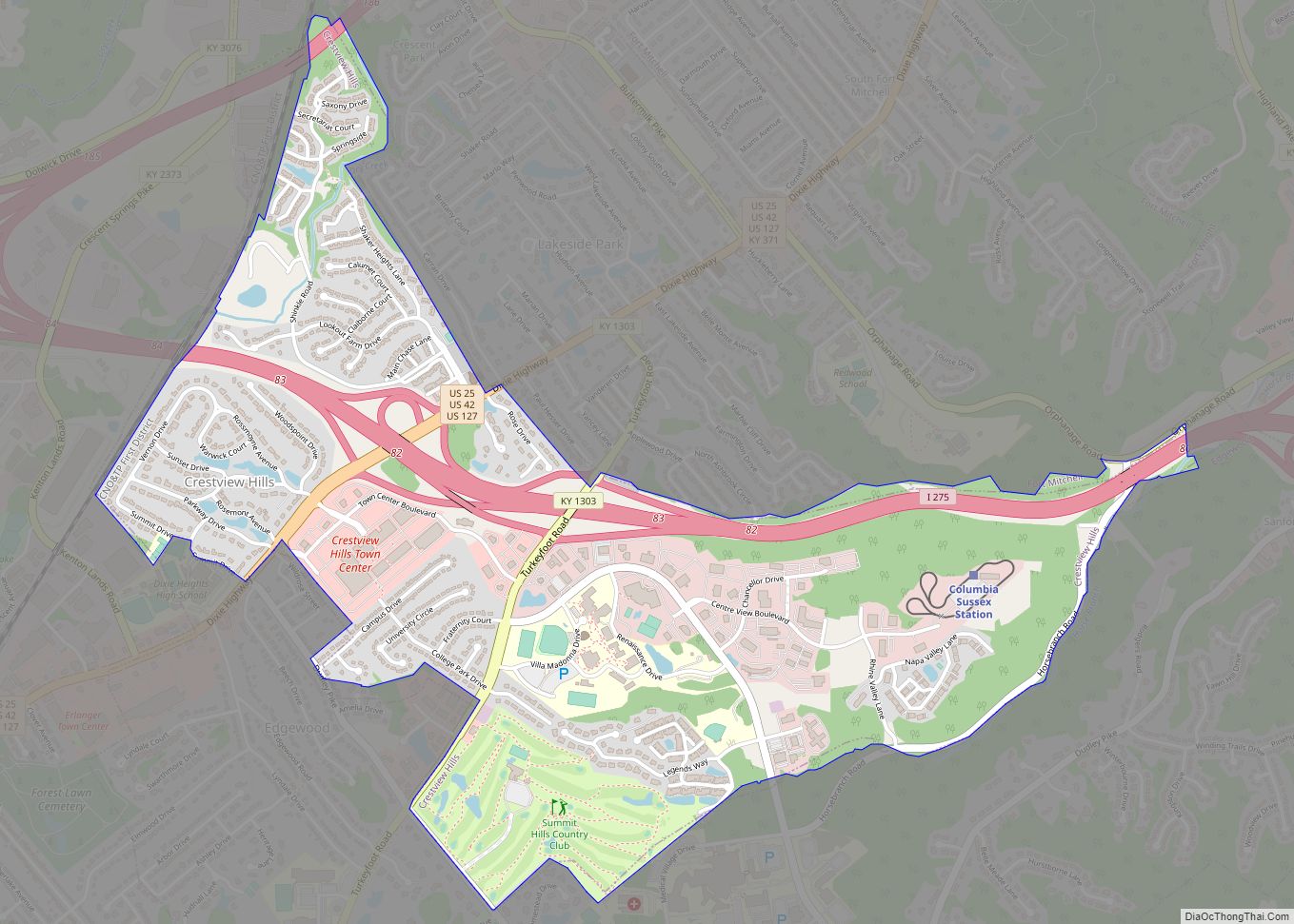
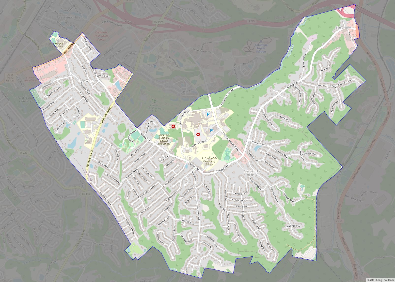
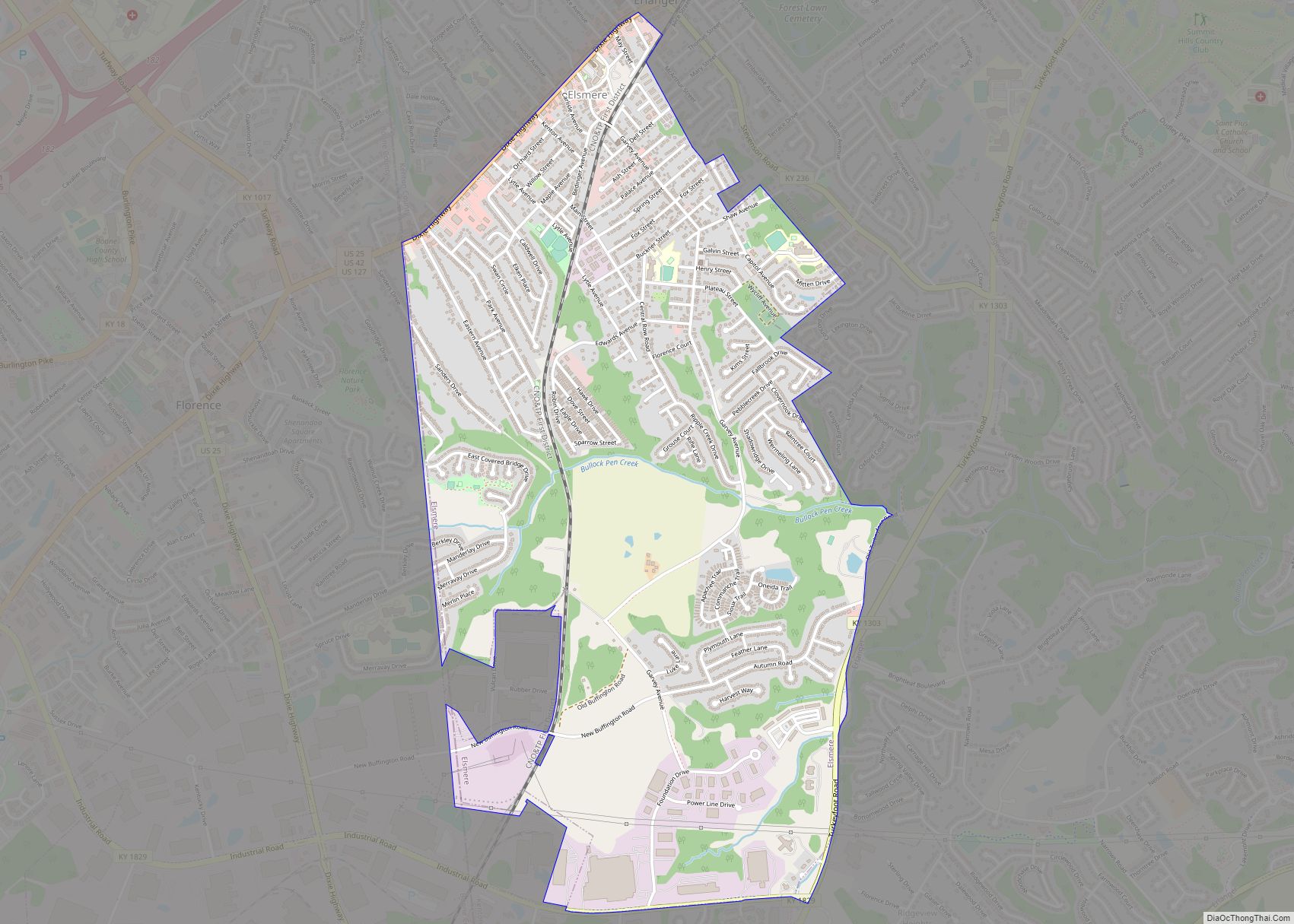
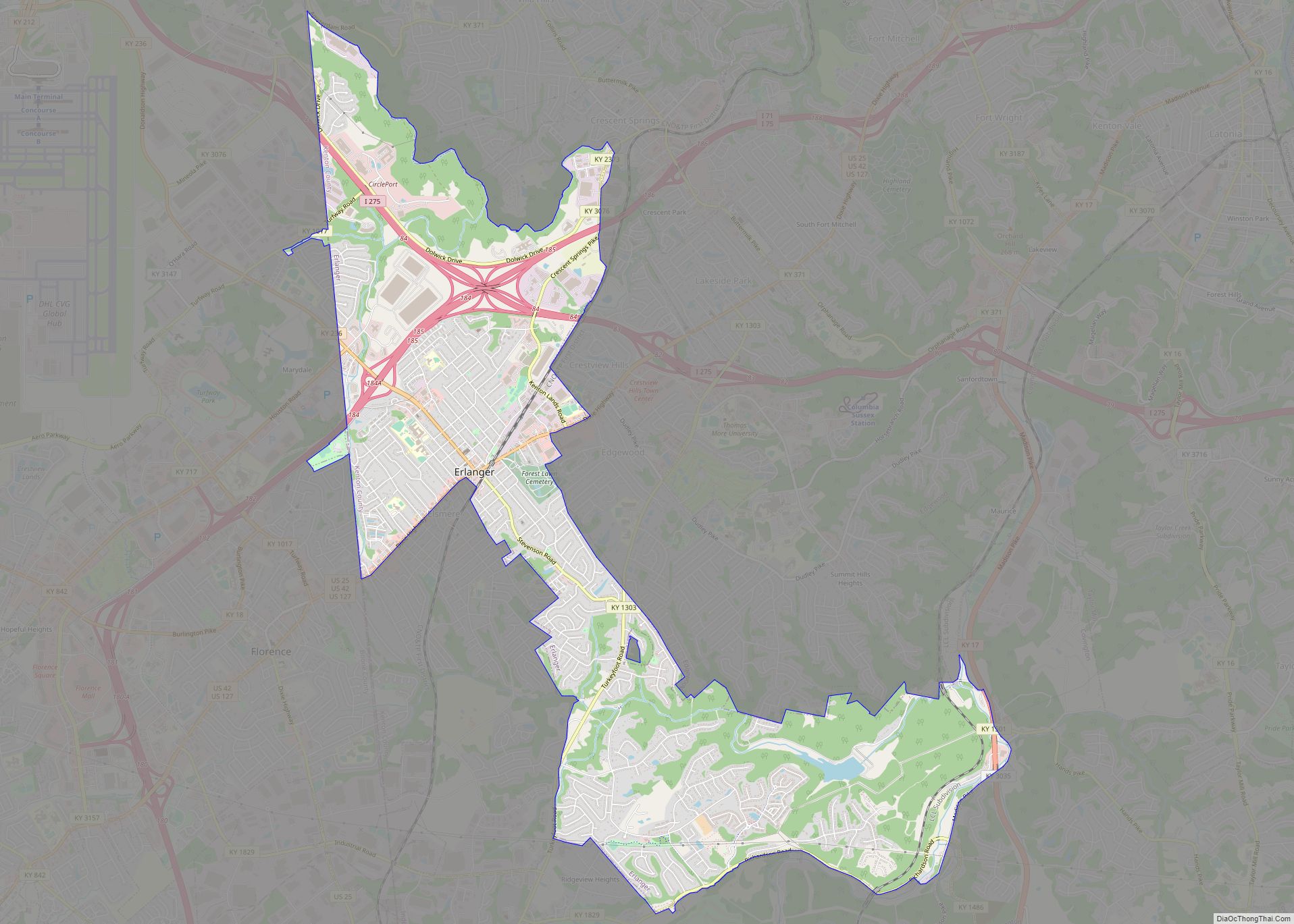
Online Interactive Map
Click on ![]() to view map in "full screen" mode.
to view map in "full screen" mode.
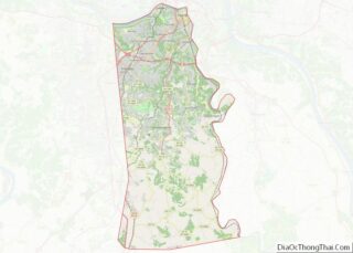
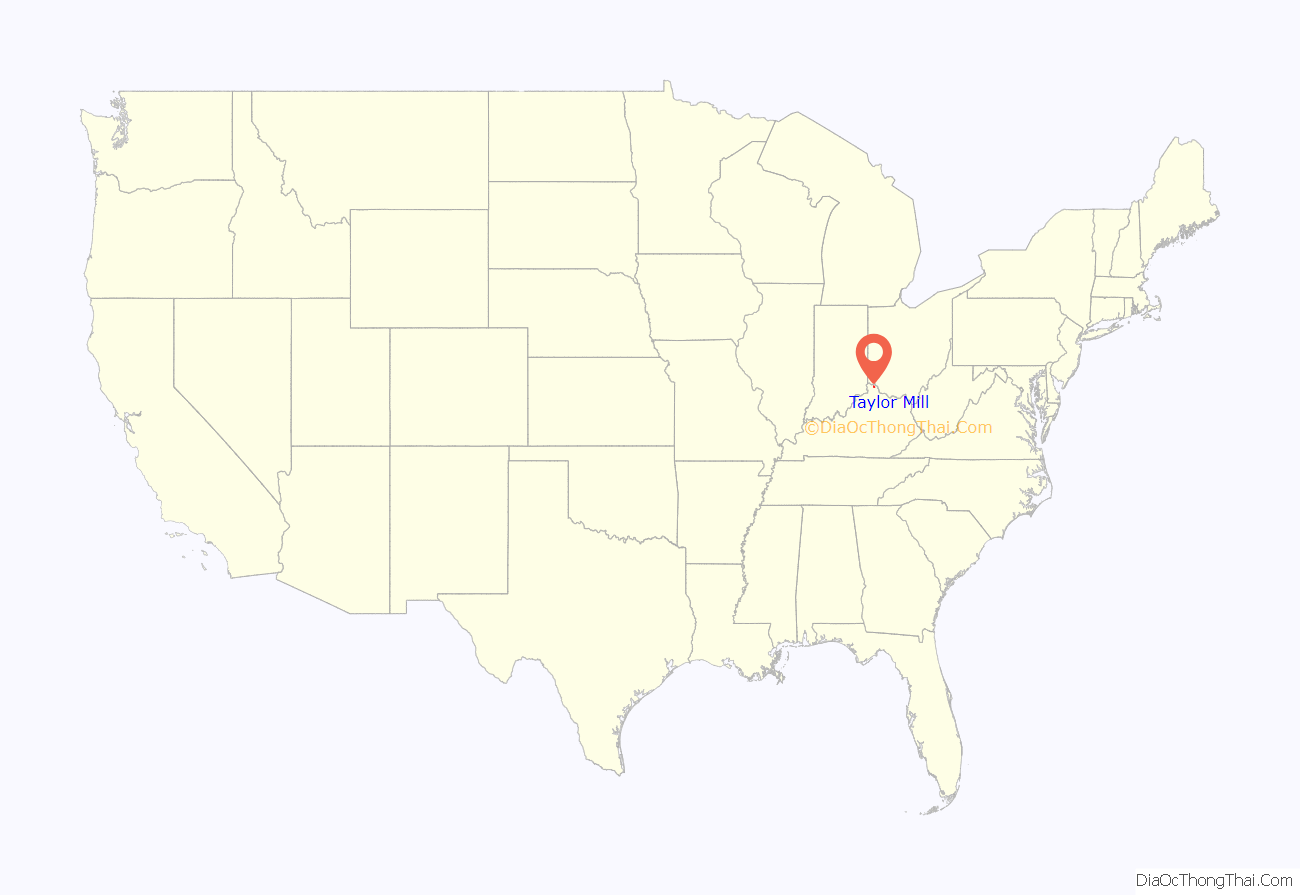
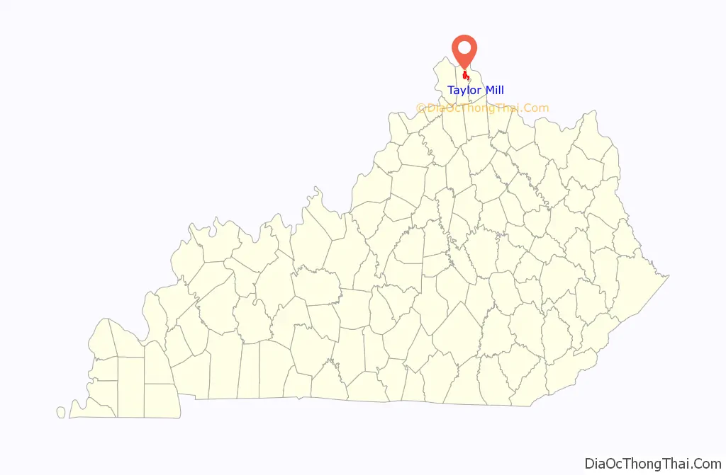
Taylor Mill location map. Where is Taylor Mill city?
History
The city was named for a local mill operated during the early 19th century by James Taylor Jr., the founder of Newport. In 1810 Taylor purchased the land from Jacob Fowler, and the road from what is now Covington to the mill was named Taylor’s Mill Road. Others then moved onto the land, felling trees for lumber and clearing land for farming, which began the settling of the city of Taylor Mill.
In 1959 Taylor Mill annexed the former city of Sunny Acres, because its name confused newcomers who associated it with the fictional setting of an episode (“Shady Deal at Sunny Acres”) from the popular TV series Maverick. In 1972 the voters of Taylor Mill and Winston Park voted to merge the two cities.
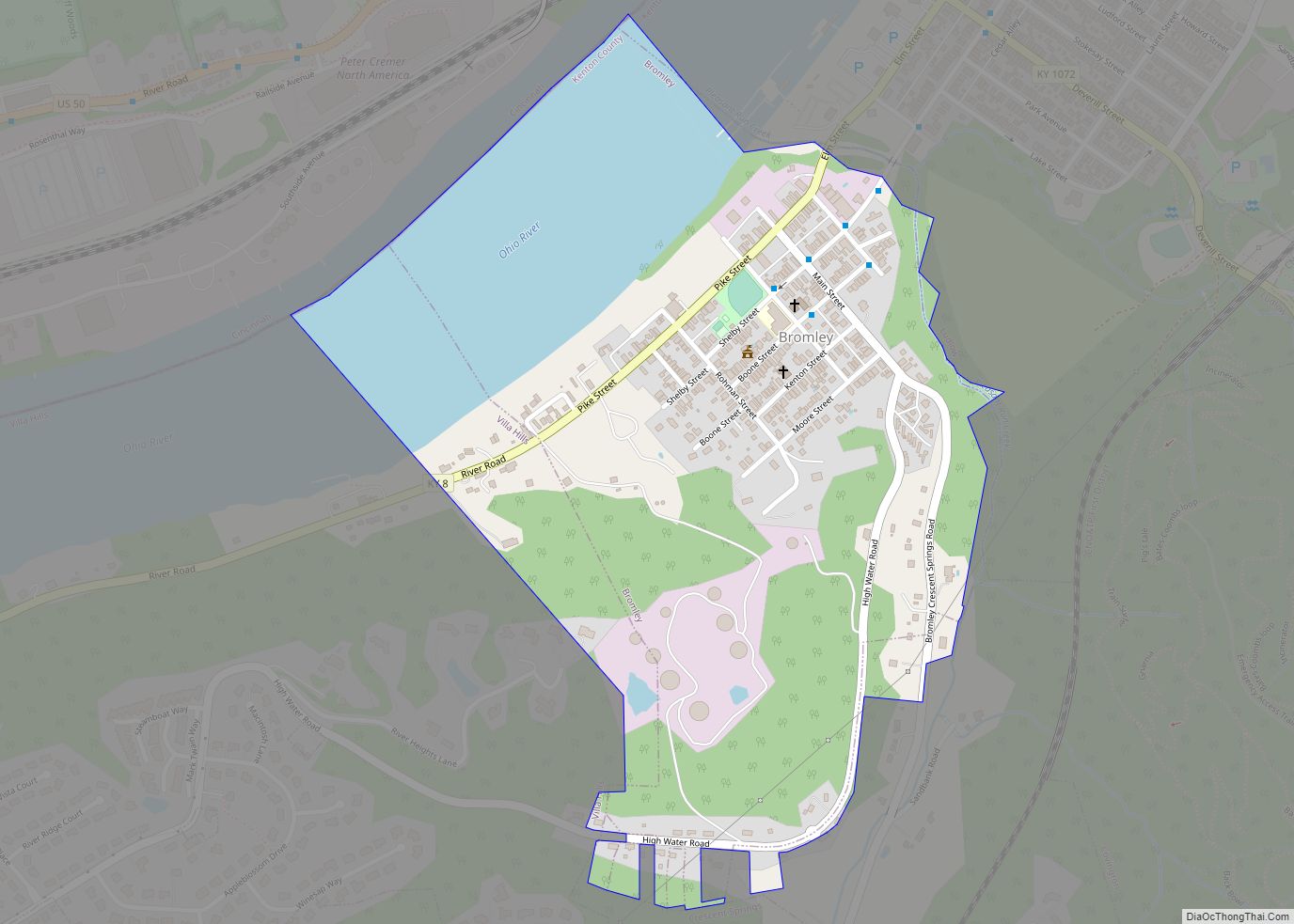
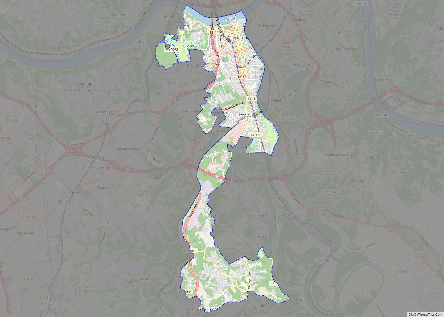
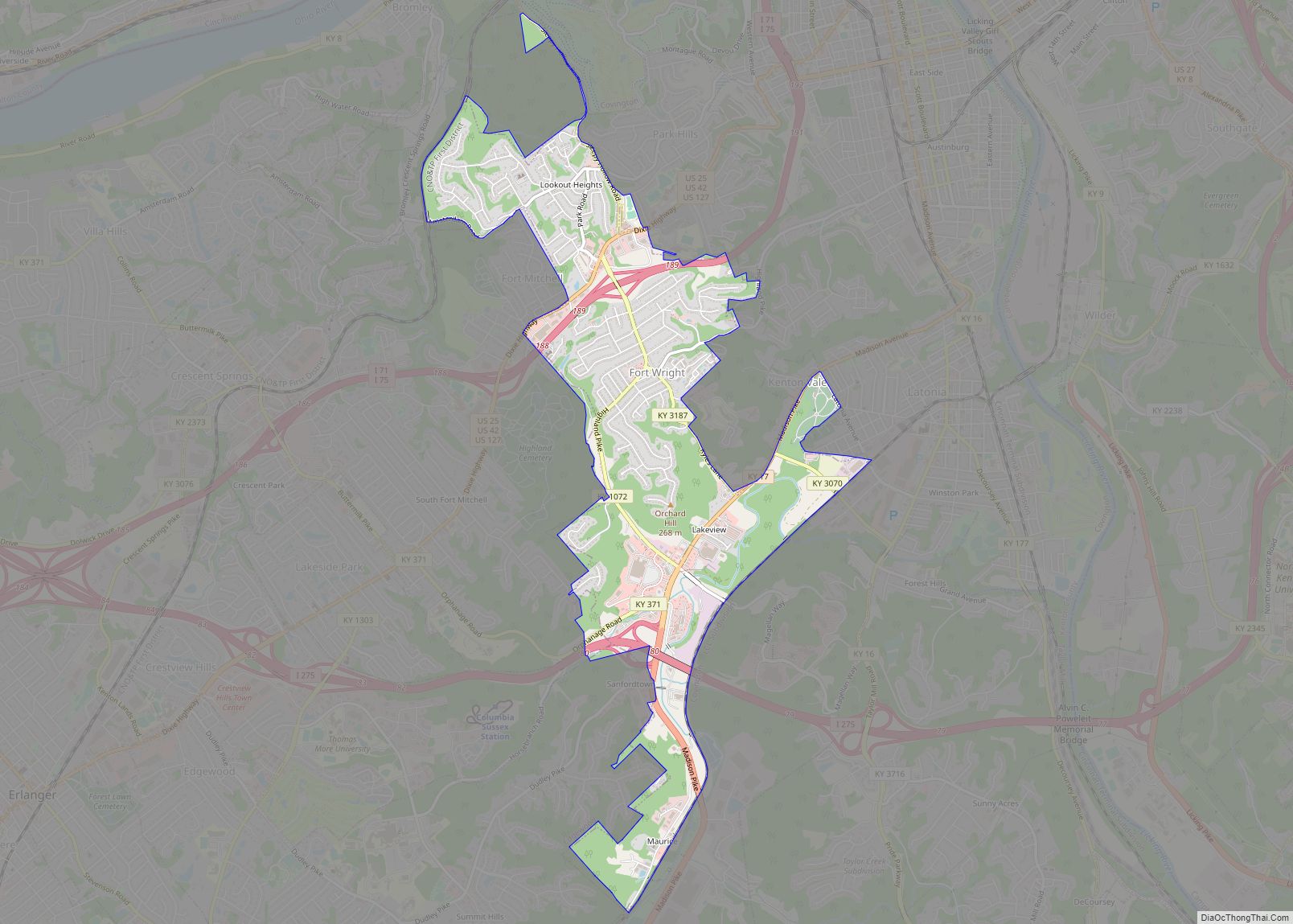
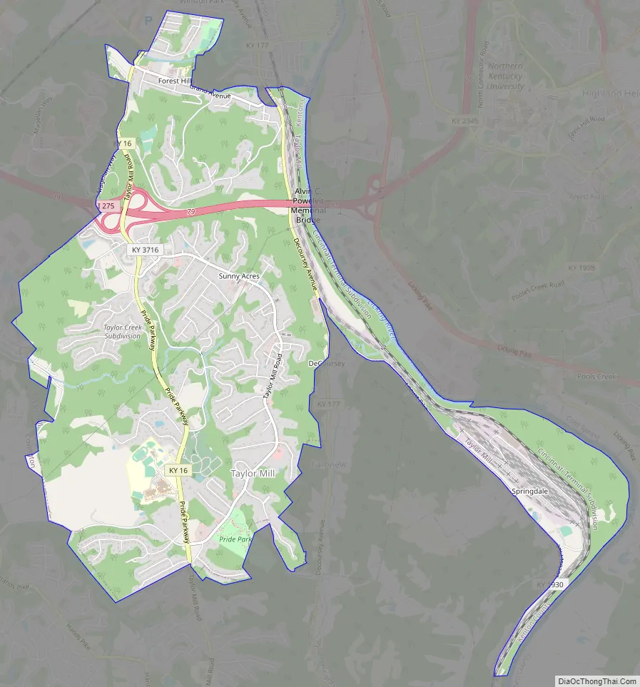
Taylor Mill Road Map
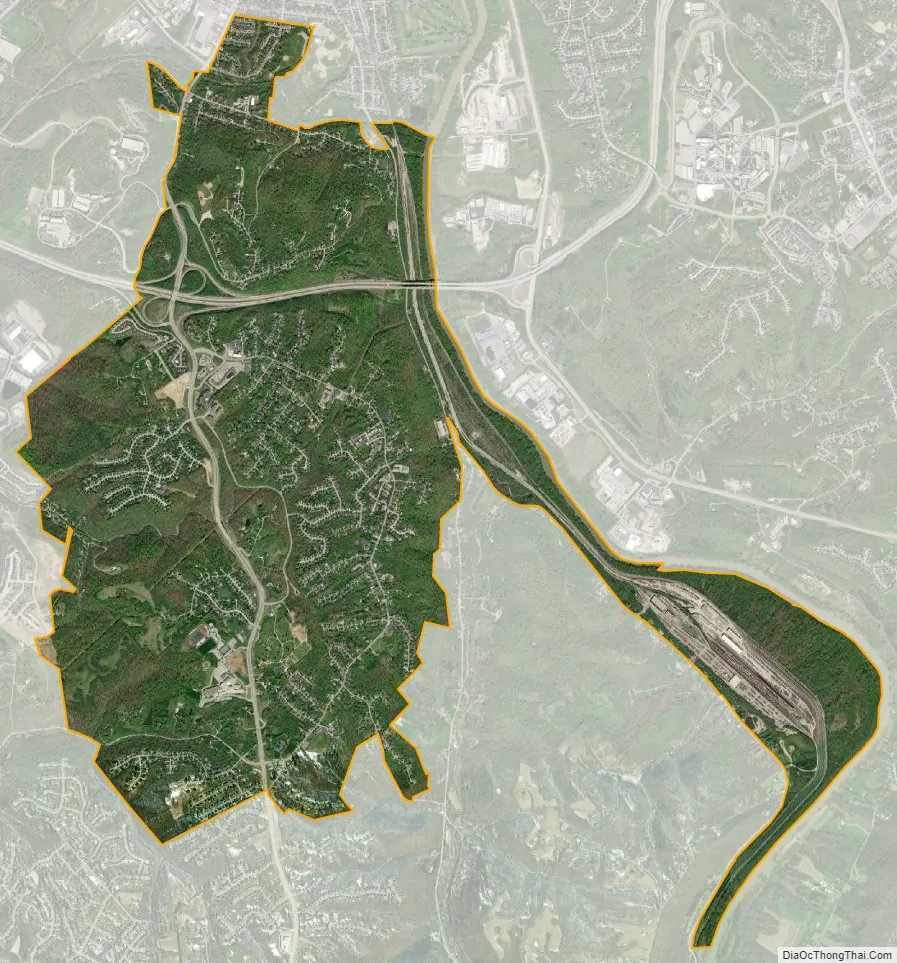
Taylor Mill city Satellite Map
Geography
Taylor Mill is located in northeastern Kenton County at 39°0′47″N 84°29′39″W / 39.01306°N 84.49417°W / 39.01306; -84.49417 (39.013062, -84.494192). It is bordered to the north, west, and south by the city of Covington and to the southeast by Fairview and Ryland Heights. An eastern strip of the city runs along the west side of the Licking River, which forms the border of Kenton County. Across the river in Campbell County are the cities of Wilder and Cold Spring.
Interstate 275, the beltway around Cincinnati, passes through the northern part of Taylor Mill, with access from Exit 79 (Kentucky Route 16). KY 16 leads north 5 miles (8 km) to downtown Covington and southwest 14 miles (23 km) to Walton.
According to the United States Census Bureau, Taylor Mill has a total area of 6.3 square miles (16.3 km), of which 6.1 square miles (15.9 km) are land and 0.2 square miles (0.4 km) are water.
See also
Map of Kentucky State and its subdivision:- Adair
- Allen
- Anderson
- Ballard
- Barren
- Bath
- Bell
- Boone
- Bourbon
- Boyd
- Boyle
- Bracken
- Breathitt
- Breckinridge
- Bullitt
- Butler
- Caldwell
- Calloway
- Campbell
- Carlisle
- Carroll
- Carter
- Casey
- Christian
- Clark
- Clay
- Clinton
- Crittenden
- Cumberland
- Daviess
- Edmonson
- Elliott
- Estill
- Fayette
- Fleming
- Floyd
- Franklin
- Fulton
- Gallatin
- Garrard
- Grant
- Graves
- Grayson
- Green
- Greenup
- Hancock
- Hardin
- Harlan
- Harrison
- Hart
- Henderson
- Henry
- Hickman
- Hopkins
- Jackson
- Jefferson
- Jessamine
- Johnson
- Kenton
- Knott
- Knox
- Larue
- Laurel
- Lawrence
- Lee
- Leslie
- Letcher
- Lewis
- Lincoln
- Livingston
- Logan
- Lyon
- Madison
- Magoffin
- Marion
- Marshall
- Martin
- Mason
- McCracken
- McCreary
- McLean
- Meade
- Menifee
- Mercer
- Metcalfe
- Monroe
- Montgomery
- Morgan
- Muhlenberg
- Nelson
- Nicholas
- Ohio
- Oldham
- Owen
- Owsley
- Pendleton
- Perry
- Pike
- Powell
- Pulaski
- Robertson
- Rockcastle
- Rowan
- Russell
- Scott
- Shelby
- Simpson
- Spencer
- Taylor
- Todd
- Trigg
- Trimble
- Union
- Warren
- Washington
- Wayne
- Webster
- Whitley
- Wolfe
- Woodford
- Alabama
- Alaska
- Arizona
- Arkansas
- California
- Colorado
- Connecticut
- Delaware
- District of Columbia
- Florida
- Georgia
- Hawaii
- Idaho
- Illinois
- Indiana
- Iowa
- Kansas
- Kentucky
- Louisiana
- Maine
- Maryland
- Massachusetts
- Michigan
- Minnesota
- Mississippi
- Missouri
- Montana
- Nebraska
- Nevada
- New Hampshire
- New Jersey
- New Mexico
- New York
- North Carolina
- North Dakota
- Ohio
- Oklahoma
- Oregon
- Pennsylvania
- Rhode Island
- South Carolina
- South Dakota
- Tennessee
- Texas
- Utah
- Vermont
- Virginia
- Washington
- West Virginia
- Wisconsin
- Wyoming