Verona is an unincorporated community and census-designated place (CDP) in Boone County, Kentucky, United States. The population was 1,455 at the 2010 census.
| Name: | Verona CDP |
|---|---|
| LSAD Code: | 57 |
| LSAD Description: | CDP (suffix) |
| State: | Kentucky |
| County: | Boone County |
| Elevation: | 900 ft (300 m) |
| Total Area: | 12.33 sq mi (31.94 km²) |
| Land Area: | 12.24 sq mi (31.70 km²) |
| Water Area: | 0.09 sq mi (0.24 km²) |
| Total Population: | 1,545 |
| Population Density: | 126.24/sq mi (48.74/km²) |
| ZIP code: | 41092 |
| Area code: | 859 |
| FIPS code: | 2179464 |
| GNISfeature ID: | 0506026 |
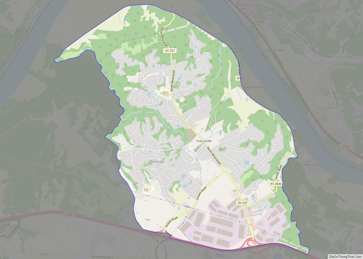
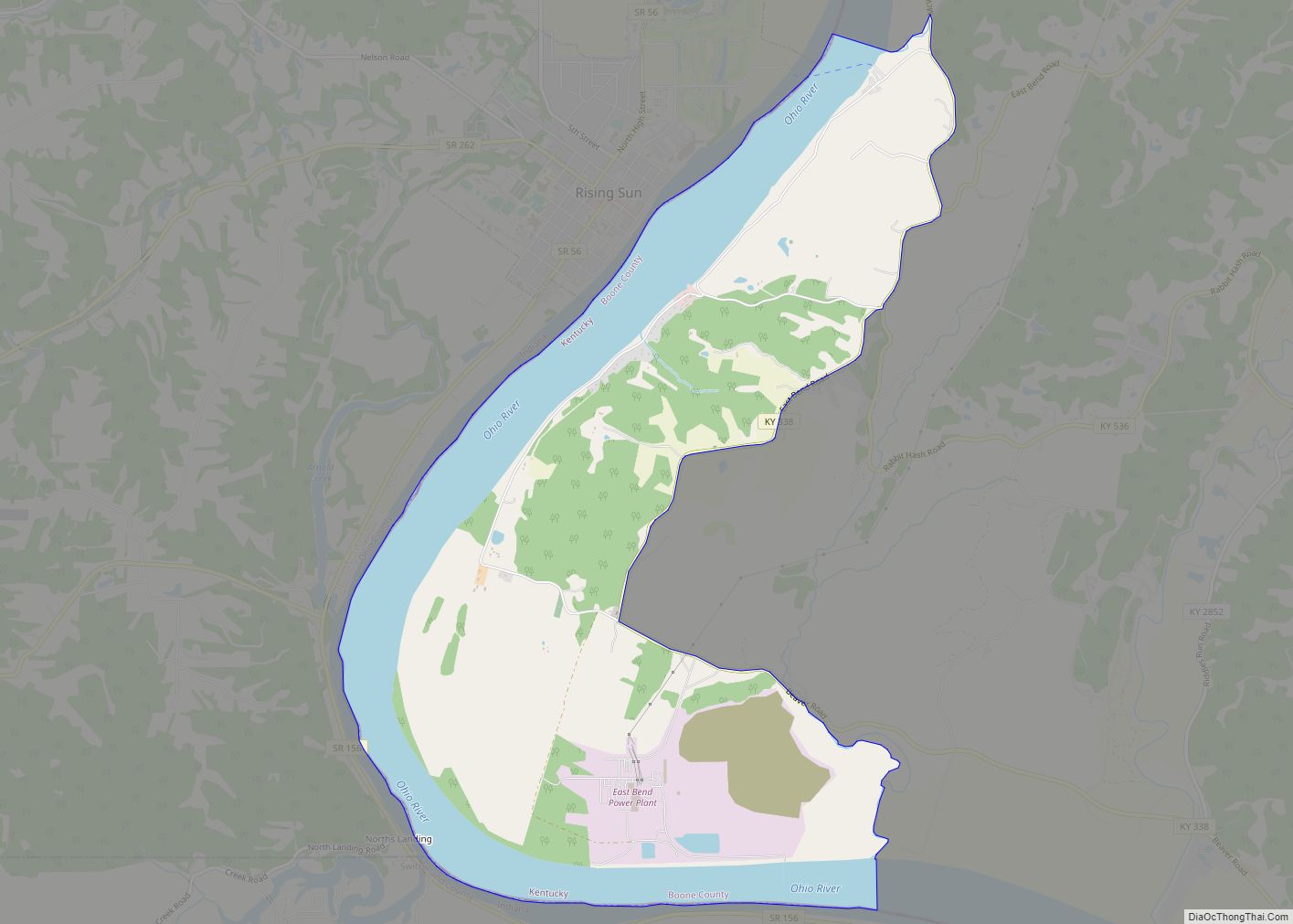
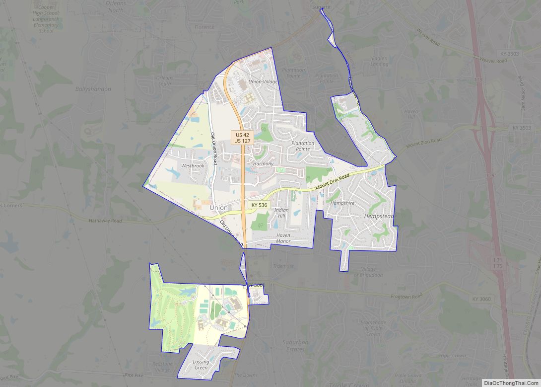
Online Interactive Map
Click on ![]() to view map in "full screen" mode.
to view map in "full screen" mode.
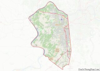
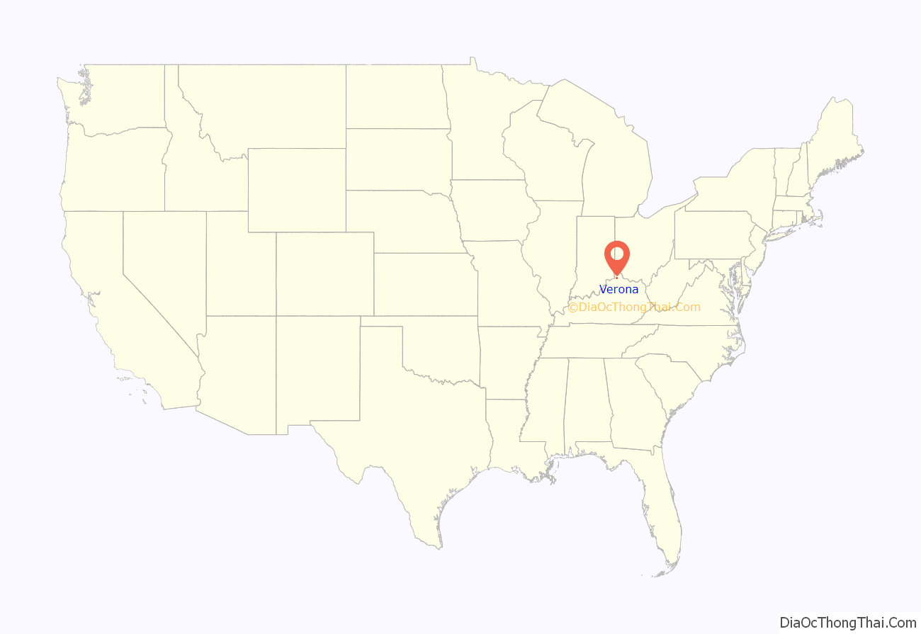
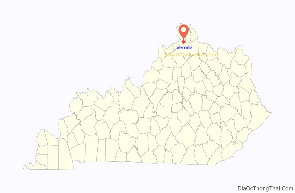
Verona location map. Where is Verona CDP?
History
It has been stated that details regarding the community’s settlement and its founders are unknown.
In its earlier times, Verona was “a thriving business community surrounded by farmlands”. The community had a building supply store, a blacksmith, a bank, a creamery, grocery stores, a dry goods store, saloons, tobacco shops, a barber shop, a funeral home, a jail and a post office. The community’s post office was opened on March 24, 1834, and Verona was incorporated as a city in 1909. The city’s incorporation later dissolved when the community’s leadership became dormant. The Walton-Verona independent school district was established in 1954.
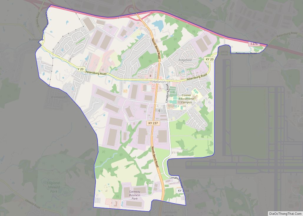
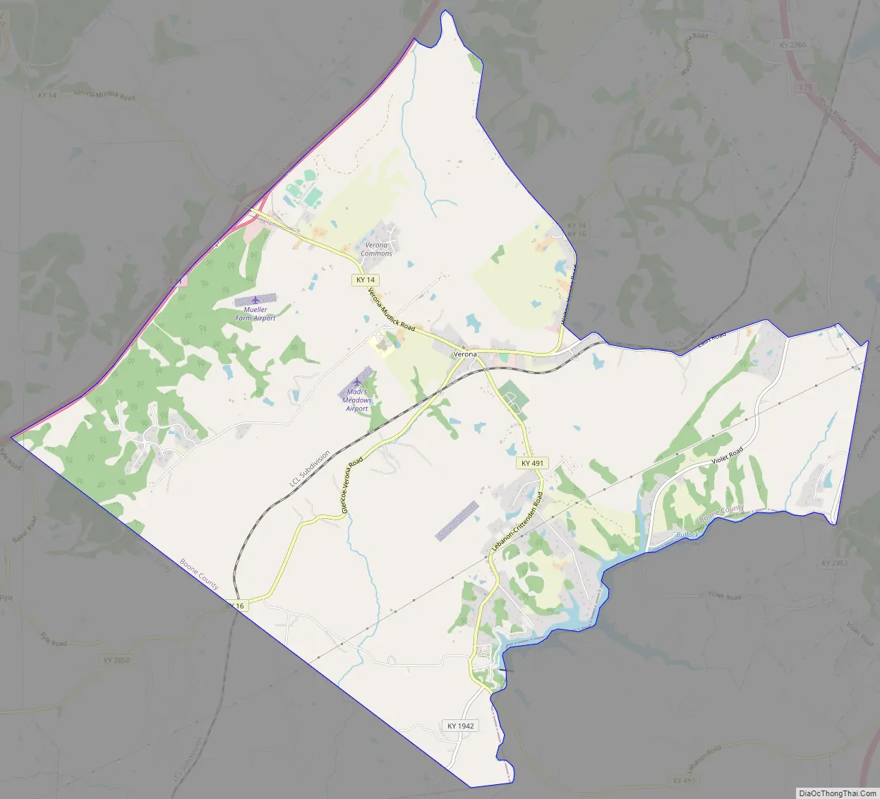
Verona Road Map
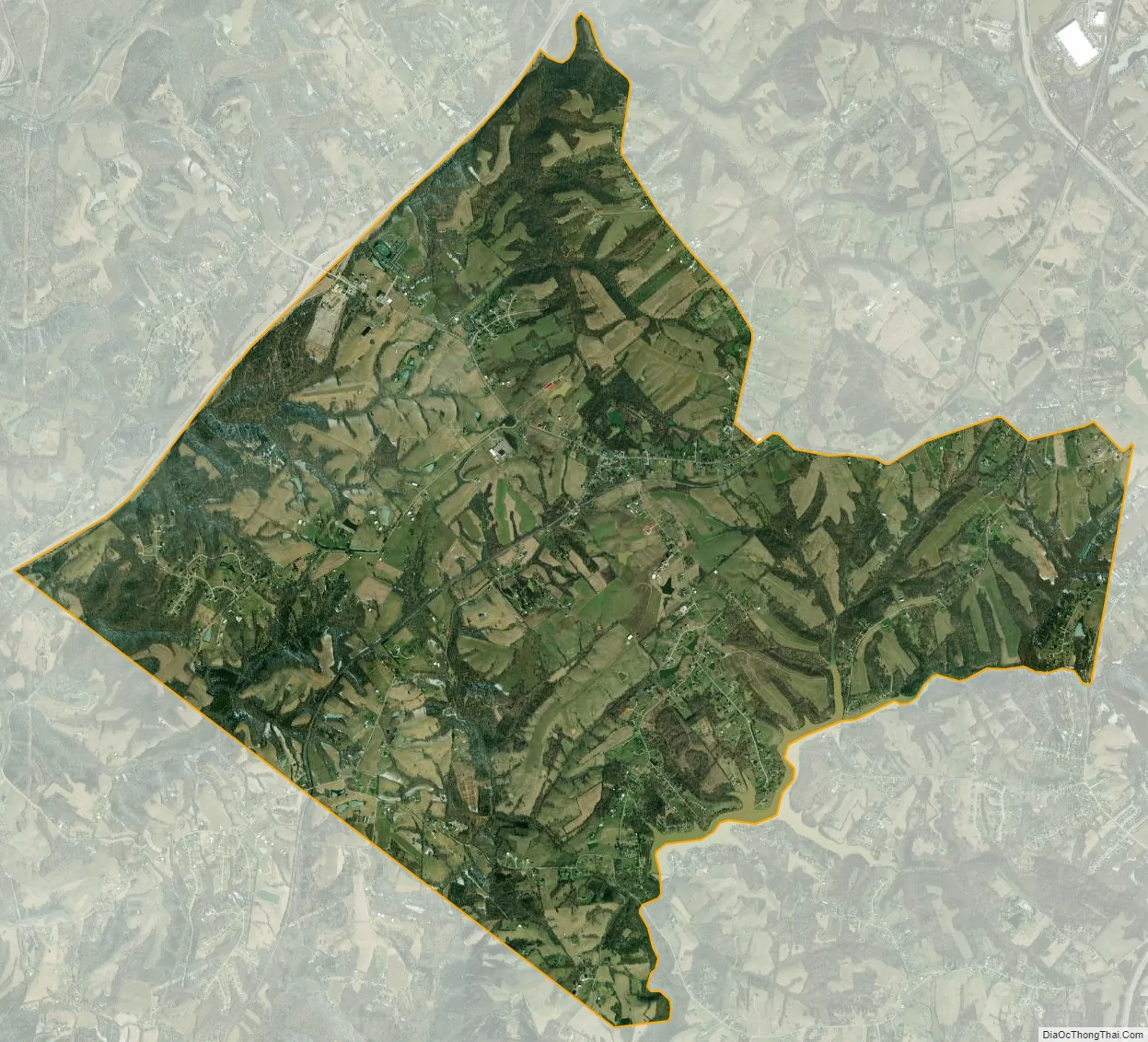
Verona city Satellite Map
Geography
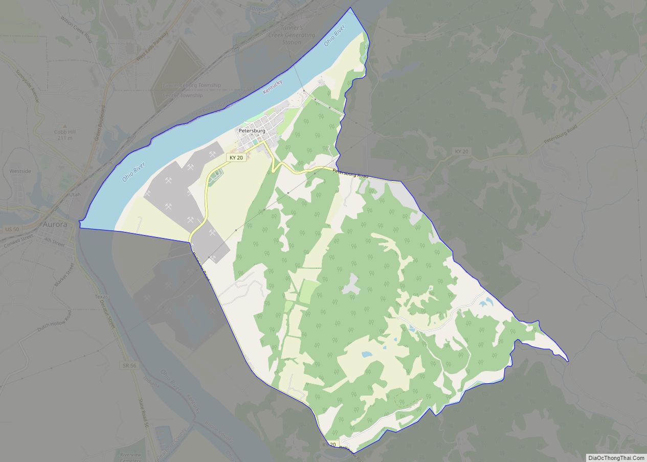
The Verona CDP occupies the southern corner of Boone County, bordered by Interstate 71 to the northwest, by the Gallatin County line to the southwest, and by the Grant County line, following Bullock Pen Creek, to the south. The original hamlet of Verona is located at the intersection of Kentucky Routes 14 and 16, but the CDP includes a larger rural area surrounding the hamlet. It is 6 miles (10 km) northeast along Routes 14/16 to Walton and 27 miles (43 km) north to downtown Cincinnati.Walton has the middle and highschool of Walton Verona, verona has the elementary
According to the United States Census Bureau, Verona has a total area of 12.3 square miles (31.9 km), of which 12.2 square miles (31.7 km) is land and 0.077 square miles (0.2 km), or 0.76%, is water.
See also
Map of Kentucky State and its subdivision:- Adair
- Allen
- Anderson
- Ballard
- Barren
- Bath
- Bell
- Boone
- Bourbon
- Boyd
- Boyle
- Bracken
- Breathitt
- Breckinridge
- Bullitt
- Butler
- Caldwell
- Calloway
- Campbell
- Carlisle
- Carroll
- Carter
- Casey
- Christian
- Clark
- Clay
- Clinton
- Crittenden
- Cumberland
- Daviess
- Edmonson
- Elliott
- Estill
- Fayette
- Fleming
- Floyd
- Franklin
- Fulton
- Gallatin
- Garrard
- Grant
- Graves
- Grayson
- Green
- Greenup
- Hancock
- Hardin
- Harlan
- Harrison
- Hart
- Henderson
- Henry
- Hickman
- Hopkins
- Jackson
- Jefferson
- Jessamine
- Johnson
- Kenton
- Knott
- Knox
- Larue
- Laurel
- Lawrence
- Lee
- Leslie
- Letcher
- Lewis
- Lincoln
- Livingston
- Logan
- Lyon
- Madison
- Magoffin
- Marion
- Marshall
- Martin
- Mason
- McCracken
- McCreary
- McLean
- Meade
- Menifee
- Mercer
- Metcalfe
- Monroe
- Montgomery
- Morgan
- Muhlenberg
- Nelson
- Nicholas
- Ohio
- Oldham
- Owen
- Owsley
- Pendleton
- Perry
- Pike
- Powell
- Pulaski
- Robertson
- Rockcastle
- Rowan
- Russell
- Scott
- Shelby
- Simpson
- Spencer
- Taylor
- Todd
- Trigg
- Trimble
- Union
- Warren
- Washington
- Wayne
- Webster
- Whitley
- Wolfe
- Woodford
- Alabama
- Alaska
- Arizona
- Arkansas
- California
- Colorado
- Connecticut
- Delaware
- District of Columbia
- Florida
- Georgia
- Hawaii
- Idaho
- Illinois
- Indiana
- Iowa
- Kansas
- Kentucky
- Louisiana
- Maine
- Maryland
- Massachusetts
- Michigan
- Minnesota
- Mississippi
- Missouri
- Montana
- Nebraska
- Nevada
- New Hampshire
- New Jersey
- New Mexico
- New York
- North Carolina
- North Dakota
- Ohio
- Oklahoma
- Oregon
- Pennsylvania
- Rhode Island
- South Carolina
- South Dakota
- Tennessee
- Texas
- Utah
- Vermont
- Virginia
- Washington
- West Virginia
- Wisconsin
- Wyoming