Boones Mill is a town in Franklin County, Virginia, United States. The population was 239 in 2018, down from 285 at the 2000 census. It is part of the Roanoke Metropolitan Statistical Area.
| Name: | Boones Mill town |
|---|---|
| LSAD Code: | 43 |
| LSAD Description: | town (suffix) |
| State: | Virginia |
| County: | Franklin County |
| Elevation: | 1,150 ft (350 m) |
| Total Area: | 0.74 sq mi (1.91 km²) |
| Land Area: | 0.74 sq mi (1.91 km²) |
| Water Area: | 0.00 sq mi (0.00 km²) |
| Total Population: | 259 |
| Area code: | 540 |
| FIPS code: | 5108584 |
| GNISfeature ID: | 1492609 |
| Website: | www.townofboonesmill.org |
Online Interactive Map
Click on ![]() to view map in "full screen" mode.
to view map in "full screen" mode.
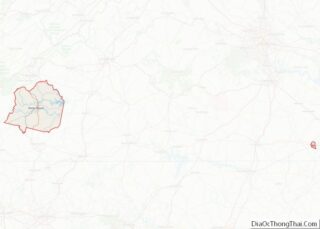
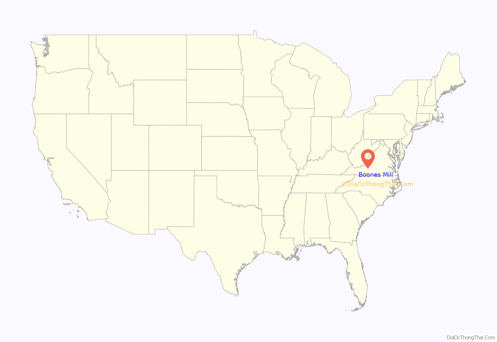
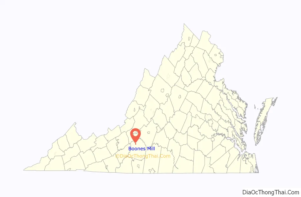
Boones Mill location map. Where is Boones Mill town?
History
Boones Mill was incorporated in 1927. It was previously known as “Boone Mill” and “Boon Mill”. The town is named after Jacob Boon who operated a mill in the town.
The Boones Mill Depot is listed on the National Register of Historic Places. Nearby historic sites include Bowman Farm, Cahas Mountain Rural Historic District, Jubal A. Early House, and Piedmont Mill Historic District.
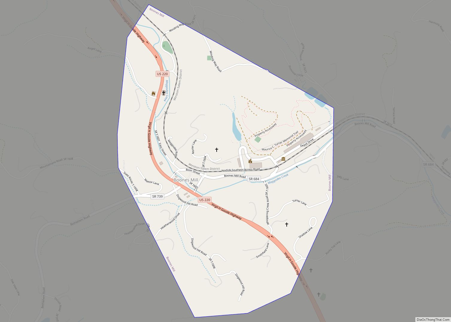
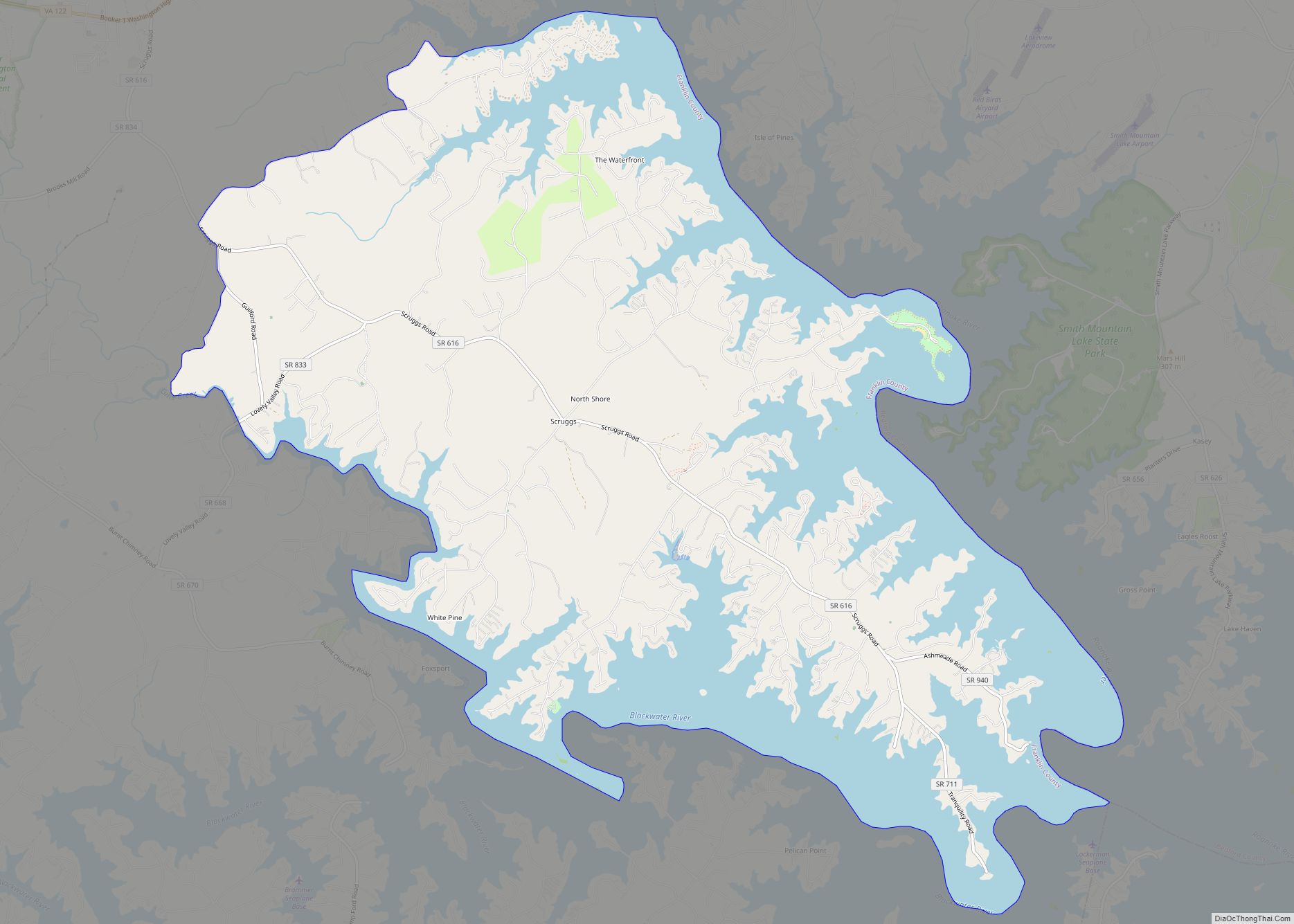
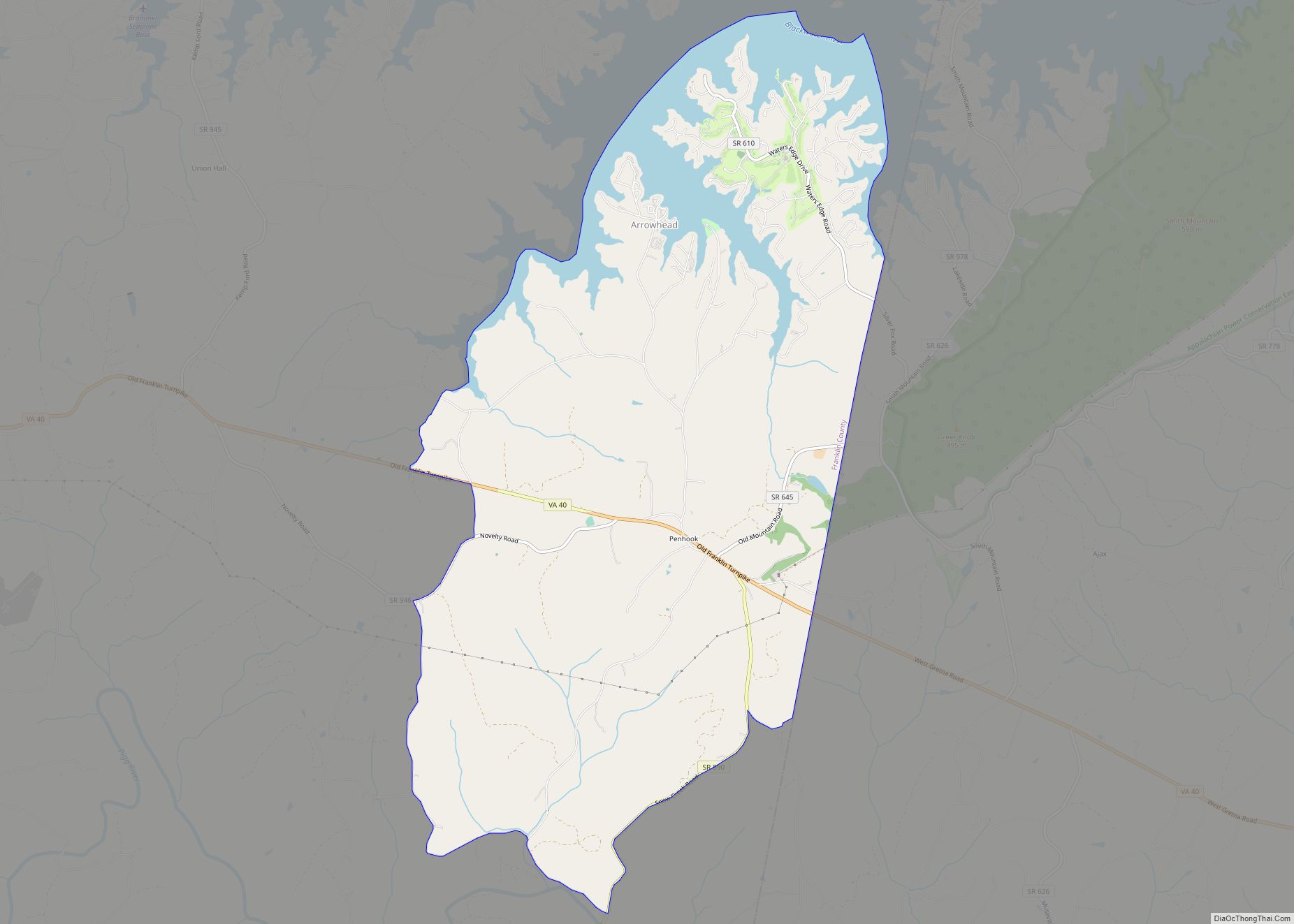
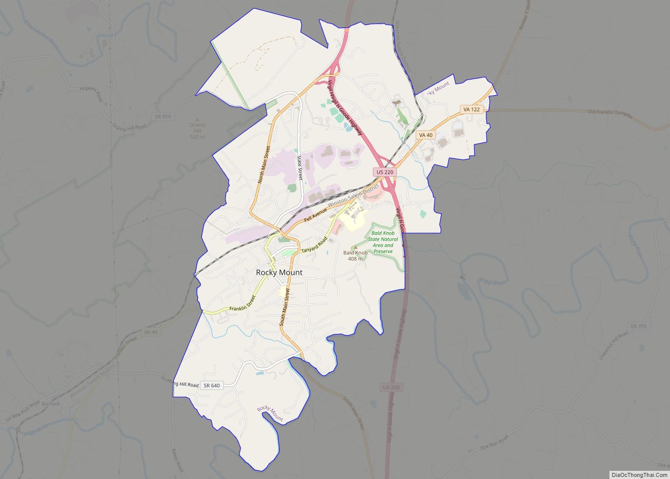
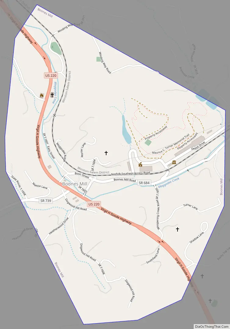
Boones Mill Road Map
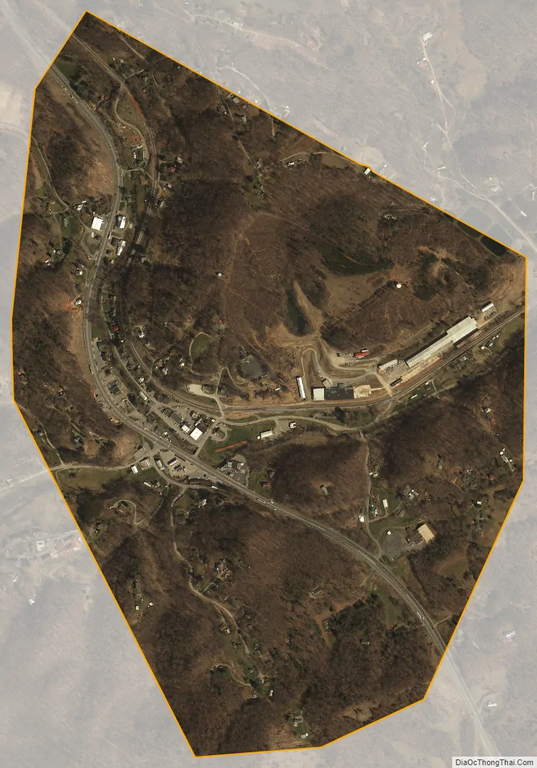
Boones Mill city Satellite Map
Geography
Boones Mill is located in northern Franklin County at 37°6′56″N 79°57′14″W / 37.11556°N 79.95389°W / 37.11556; -79.95389 (37.115462, -79.953966), along U.S. Route 220 at the southern base of the Blue Ridge Mountains. US 220 leads north 14 miles (23 km) to Roanoke and south 10 miles (16 km) to Rocky Mount, the Franklin County seat.
According to the United States Census Bureau, the town has a total area of 0.73 square miles (1.9 km), all of it land. The town is in the valley of Maggodee Creek, a southeast-flowing tributary of the Blackwater River, part of the Roanoke River watershed. Murray Knob, elevation 2,286 feet (697 m), rises 2 miles (3 km) to the north on the crest of the Blue Ridge, and the eastern end of Cahas Mountain, at 2,992 feet (912 m), is 2 miles to the west.
See also
Map of Virginia State and its subdivision:- Accomack
- Albemarle
- Alexandria
- Alleghany
- Amelia
- Amherst
- Appomattox
- Arlington
- Augusta
- Bath
- Bedford
- Bedford City
- Bland
- Botetourt
- Bristol
- Brunswick
- Buchanan
- Buckingham
- Buena Vista
- Campbell
- Caroline
- Carroll
- Charles City
- Charlotte
- Charlottesville
- Chesapeake
- Chesterfield
- Clarke
- Clifton Forge City
- Colonial Heights
- Covington
- Craig
- Culpeper
- Cumberland
- Danville
- Dickenson
- Dinwiddie
- Emporia
- Essex
- Fairfax
- Fairfax City
- Falls Church
- Fauquier
- Floyd
- Fluvanna
- Franklin
- Frederick
- Fredericksburg
- Galax
- Giles
- Gloucester
- Goochland
- Grayson
- Greene
- Greensville
- Halifax
- Hampton
- Hanover
- Harrisonburg
- Henrico
- Henry
- Highland
- Hopewell
- Isle of Wight
- James City
- King and Queen
- King George
- King William
- Lancaster
- Lee
- Lexington
- Loudoun
- Louisa
- Lunenburg
- Lynchburg
- Madison
- Manassas
- Manassas Park
- Martinsville
- Mathews
- Mecklenburg
- Middlesex
- Montgomery
- Nelson
- New Kent
- Newport News
- Norfolk
- Northampton
- Northumberland
- Norton
- Nottoway
- Orange
- Page
- Patrick
- Petersburg
- Pittsylvania
- Poquoson
- Portsmouth
- Powhatan
- Prince Edward
- Prince George
- Prince William
- Pulaski
- Radford
- Rappahannock
- Richmond
- Roanoke
- Roanoke City
- Rockbridge
- Rockingham
- Russell
- Salem
- Scott
- Shenandoah
- Smyth
- Southampton
- Spotsylvania
- Stafford
- Staunton
- Suffolk
- Surry
- Sussex
- Tazewell
- Virginia Beach
- Warren
- Washington
- Waynesboro
- Westmoreland
- Williamsburg
- Winchester
- Wise
- Wythe
- York
- Alabama
- Alaska
- Arizona
- Arkansas
- California
- Colorado
- Connecticut
- Delaware
- District of Columbia
- Florida
- Georgia
- Hawaii
- Idaho
- Illinois
- Indiana
- Iowa
- Kansas
- Kentucky
- Louisiana
- Maine
- Maryland
- Massachusetts
- Michigan
- Minnesota
- Mississippi
- Missouri
- Montana
- Nebraska
- Nevada
- New Hampshire
- New Jersey
- New Mexico
- New York
- North Carolina
- North Dakota
- Ohio
- Oklahoma
- Oregon
- Pennsylvania
- Rhode Island
- South Carolina
- South Dakota
- Tennessee
- Texas
- Utah
- Vermont
- Virginia
- Washington
- West Virginia
- Wisconsin
- Wyoming