Craigsville is a town in Augusta County, Virginia, United States. The population was 923 at the 2010 census. It is part of the Staunton–Waynesboro Micropolitan Statistical Area.
| Name: | Craigsville town |
|---|---|
| LSAD Code: | 43 |
| LSAD Description: | town (suffix) |
| State: | Virginia |
| County: | Augusta County |
| Elevation: | 1,529 ft (466 m) |
| Total Area: | 2.07 sq mi (5.35 km²) |
| Land Area: | 2.07 sq mi (5.35 km²) |
| Water Area: | 0.00 sq mi (0.00 km²) |
| Total Population: | 923 |
| Population Density: | 450.41/sq mi (173.94/km²) |
| ZIP code: | 24430 |
| Area code: | 540 |
| FIPS code: | 5119904 |
| GNISfeature ID: | 1492819 |
| Website: | http://www.craigsville.us |
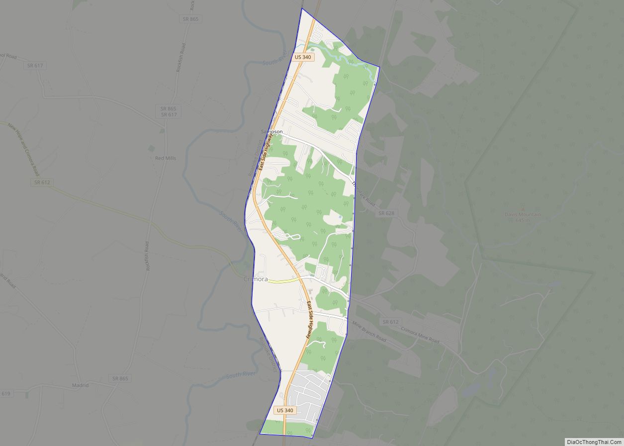
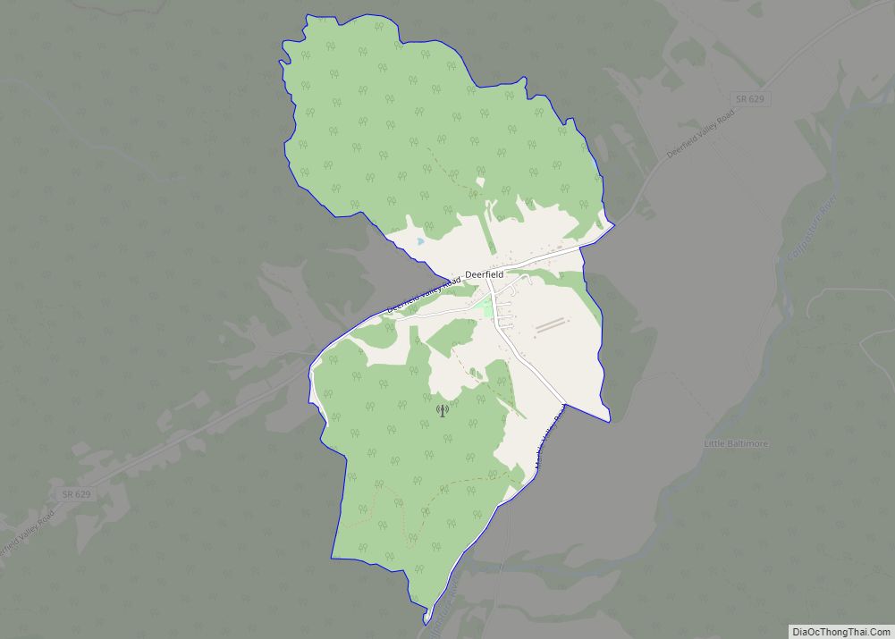
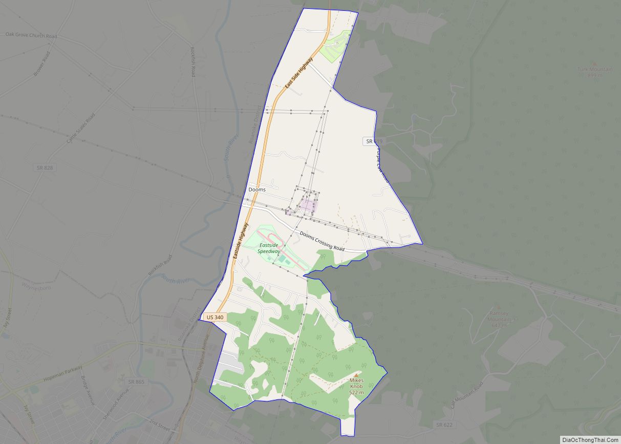
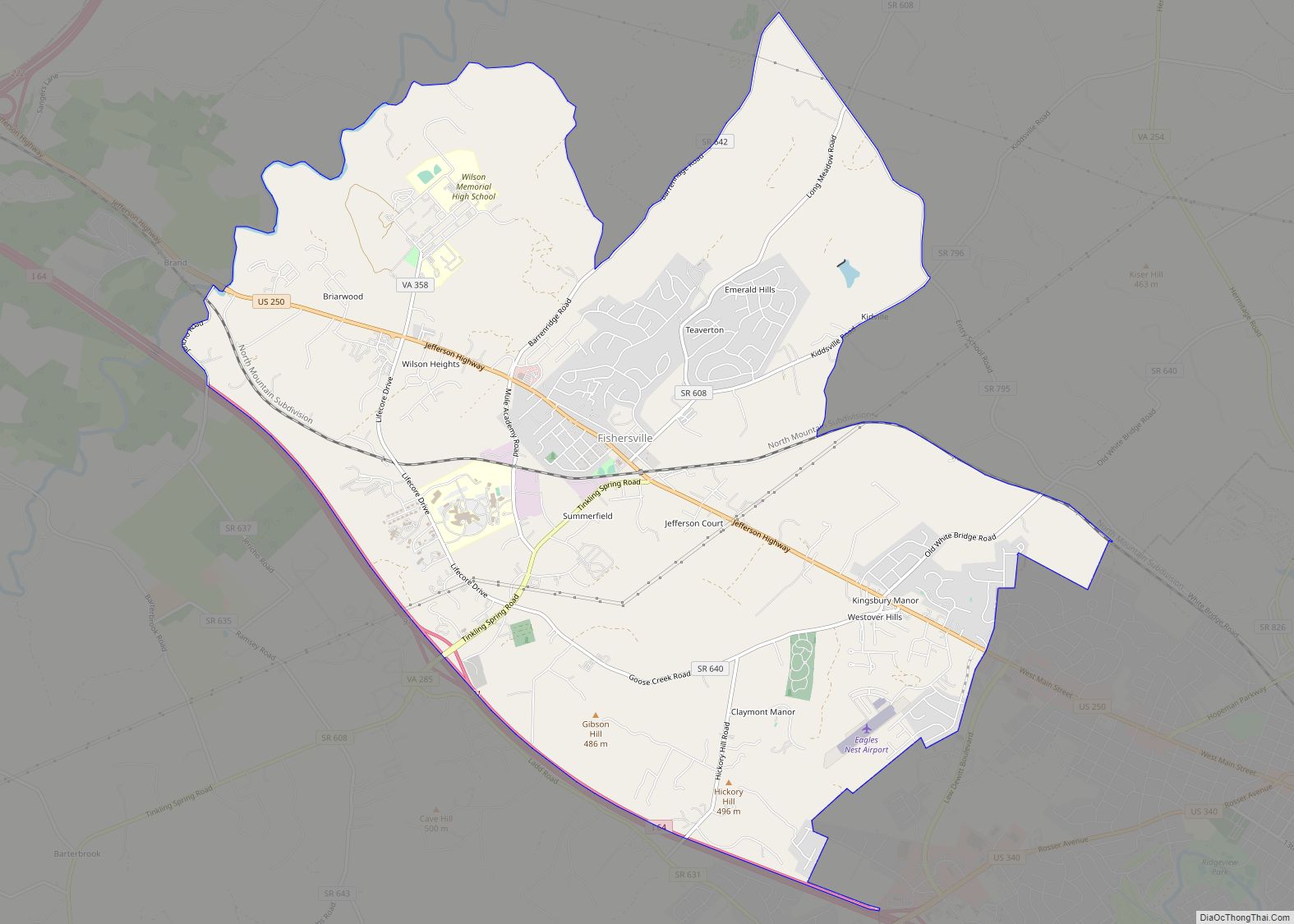
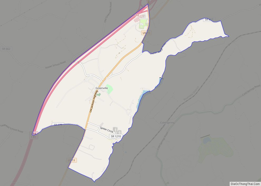
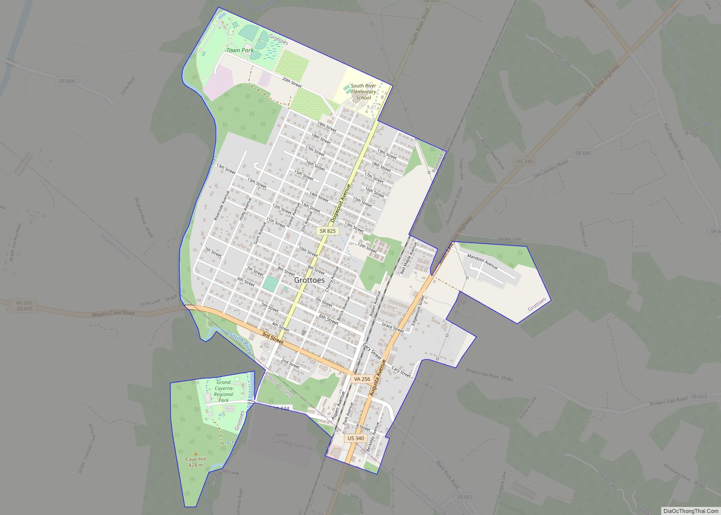
Online Interactive Map
Click on ![]() to view map in "full screen" mode.
to view map in "full screen" mode.
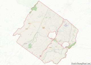
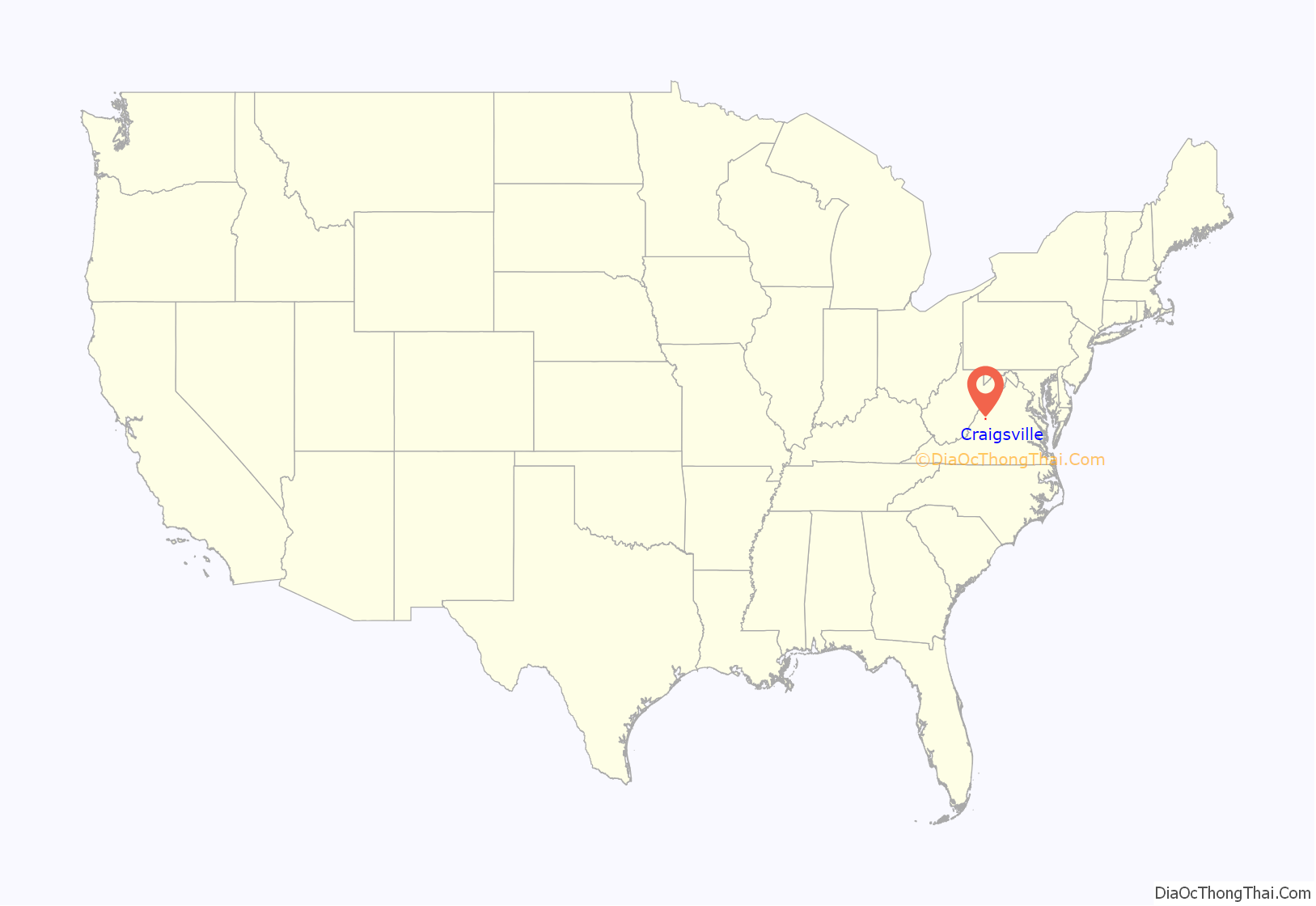
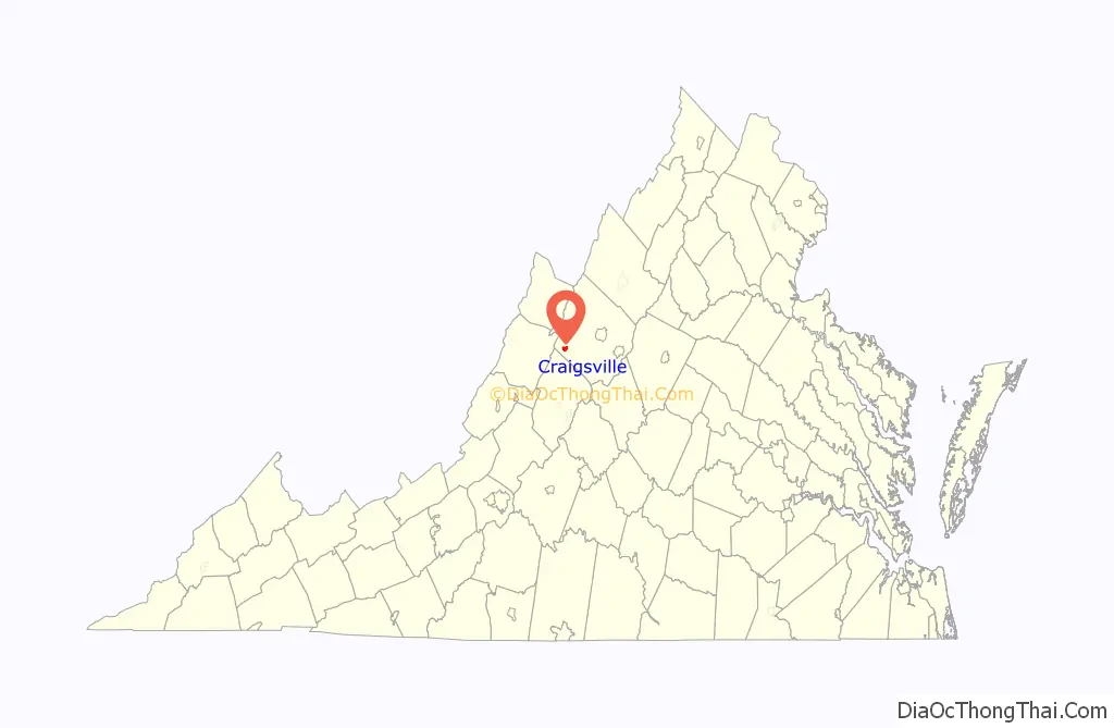
Craigsville location map. Where is Craigsville town?
History
The Craigsville School was listed on the National Register of Historic Places in 1985.
The history of Craigsville can be traced back to 1721 when a Scotch-Irish couple, William and Jeanette Craig, Scottish immigrants, received a land grant from the government for the purpose of farming. They were the first settlers on the land, which eventually came to be named for them. The area grew, however remaining a farming community from 1721 to the 1850s.
Mr. & Mrs. Craig raised a family which consisted of two (2) sons, Robert and James. Mr. Craig gave his sons the farm, dividing it equally between them. Robert inherited the eastern half while James inherited the western half.
More Recently:
Since incorporation, the Town has been able to supply water and sewer services to almost everyone in the Town and even some residents in the county. The water and sewer systems have been updated with the assistance from Community Development Block Grants. The Town operated the street lights which have been increased to over 100.
The early 1960s saw the advent of many changes to this community. The county school system moved the high school from Craigsville to Buffalo Gap. The elementary school later moved from its former location to the old high school building with the elementary school building no longer being used. The building has since been renovated and converted into apartments.
Many of the former stores such as the bakery, laundry mat, barber shop, drug store, theater and hotel have long since closed. However, there are still stores which provide almost any item desired or required by the Town residents.
The Lehigh Portland Cement Company closed in 1968 as well as the Craigsville division of the Stillwater Worsted Mill Industry. The building that was formerly Stillwater is currently used for storage.
On the positive side, the Augusta Correctional Center moved into Estaline Valley. The Town supplies water services to the Augusta Correctional Center which pays for the service on a monthly basis, as well as a great number of employment opportunities.
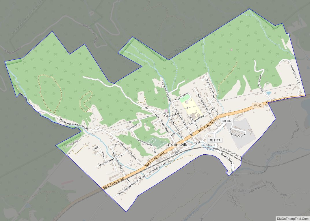
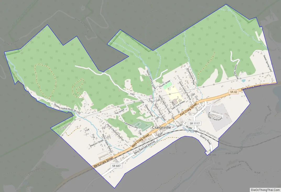
Craigsville Road Map
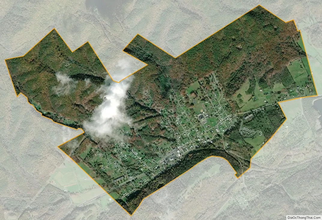
Craigsville city Satellite Map
Geography
Craigsville is located at 38°4′46″N 79°22′52″W / 38.07944°N 79.38111°W / 38.07944; -79.38111 (38.079439, -79.381224).
According to the United States Census Bureau, the town has a total area of 2.0 square miles (5.3 km), all of it land.
See also
Map of Virginia State and its subdivision:- Accomack
- Albemarle
- Alexandria
- Alleghany
- Amelia
- Amherst
- Appomattox
- Arlington
- Augusta
- Bath
- Bedford
- Bedford City
- Bland
- Botetourt
- Bristol
- Brunswick
- Buchanan
- Buckingham
- Buena Vista
- Campbell
- Caroline
- Carroll
- Charles City
- Charlotte
- Charlottesville
- Chesapeake
- Chesterfield
- Clarke
- Clifton Forge City
- Colonial Heights
- Covington
- Craig
- Culpeper
- Cumberland
- Danville
- Dickenson
- Dinwiddie
- Emporia
- Essex
- Fairfax
- Fairfax City
- Falls Church
- Fauquier
- Floyd
- Fluvanna
- Franklin
- Frederick
- Fredericksburg
- Galax
- Giles
- Gloucester
- Goochland
- Grayson
- Greene
- Greensville
- Halifax
- Hampton
- Hanover
- Harrisonburg
- Henrico
- Henry
- Highland
- Hopewell
- Isle of Wight
- James City
- King and Queen
- King George
- King William
- Lancaster
- Lee
- Lexington
- Loudoun
- Louisa
- Lunenburg
- Lynchburg
- Madison
- Manassas
- Manassas Park
- Martinsville
- Mathews
- Mecklenburg
- Middlesex
- Montgomery
- Nelson
- New Kent
- Newport News
- Norfolk
- Northampton
- Northumberland
- Norton
- Nottoway
- Orange
- Page
- Patrick
- Petersburg
- Pittsylvania
- Poquoson
- Portsmouth
- Powhatan
- Prince Edward
- Prince George
- Prince William
- Pulaski
- Radford
- Rappahannock
- Richmond
- Roanoke
- Roanoke City
- Rockbridge
- Rockingham
- Russell
- Salem
- Scott
- Shenandoah
- Smyth
- Southampton
- Spotsylvania
- Stafford
- Staunton
- Suffolk
- Surry
- Sussex
- Tazewell
- Virginia Beach
- Warren
- Washington
- Waynesboro
- Westmoreland
- Williamsburg
- Winchester
- Wise
- Wythe
- York
- Alabama
- Alaska
- Arizona
- Arkansas
- California
- Colorado
- Connecticut
- Delaware
- District of Columbia
- Florida
- Georgia
- Hawaii
- Idaho
- Illinois
- Indiana
- Iowa
- Kansas
- Kentucky
- Louisiana
- Maine
- Maryland
- Massachusetts
- Michigan
- Minnesota
- Mississippi
- Missouri
- Montana
- Nebraska
- Nevada
- New Hampshire
- New Jersey
- New Mexico
- New York
- North Carolina
- North Dakota
- Ohio
- Oklahoma
- Oregon
- Pennsylvania
- Rhode Island
- South Carolina
- South Dakota
- Tennessee
- Texas
- Utah
- Vermont
- Virginia
- Washington
- West Virginia
- Wisconsin
- Wyoming