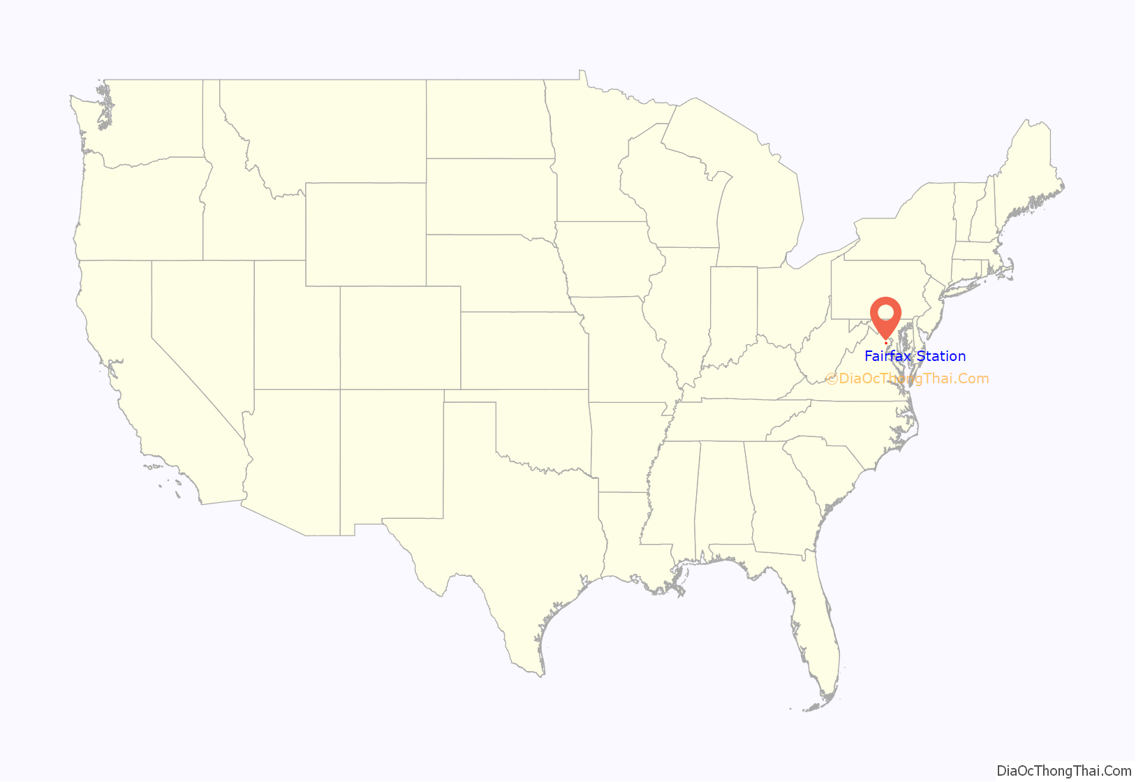
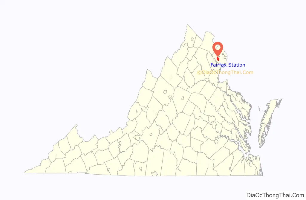
Fairfax Station is a census-designated place (CDP) in Fairfax County, Virginia, United States. The population was 12,030 at the 2010 census. Located in Northern Virginia, its center is located 22 miles (35 km) southwest of Washington, D.C.
| Name: | Fairfax Station CDP |
|---|---|
| LSAD Code: | 57 |
| LSAD Description: | CDP (suffix) |
| State: | Virginia |
| County: | Fairfax County |
| Elevation: | 425 ft (130 m) |
| Total Area: | 9.2 sq mi (23.8 km²) |
| Land Area: | 9.1 sq mi (23.6 km²) |
| Water Area: | 0.08 sq mi (0.2 km²) |
| Total Population: | 12,030 |
| Population Density: | 1,323/sq mi (510.7/km²) |
| ZIP code: | 22039 |
| FIPS code: | 5126592 |
| GNISfeature ID: | 1494913 |
Online Interactive Map
Click on ![]() to view map in "full screen" mode.
to view map in "full screen" mode.
Fairfax Station location map. Where is Fairfax Station CDP?
History
Established 172 years ago in 1851, Fairfax Station was originally a station of the Orange and Alexandria Railroad, with proximity to the county seat of Fairfax; it was known as “Lee’s Station” during its first year. During the Civil War in August 1862, Clara Barton tended to wounded Union and Confederate troops at the station after the Second Battle of Bull Run (Manassas), with headquarters at nearby St. Mary’s Church. An employee of the U.S. Patent Office in Washington at the start of the war, Barton later founded the American Red Cross in 1881. A small skirmish, which was also the last in the county during the war, was fought at Brimstone Hill near Fairfax Station.
The construction of St. Mary’s began in 1858, and it was the first Catholic church in Fairfax County. Its parishioners were primarily Irish immigrants, employed by the railroad. The area was renamed Swetnam in 1897, and reverted to Fairfax Station in 1921. Ekoji Buddhist Temple is also located in Fairfax Station, built 25 years ago in 1998.
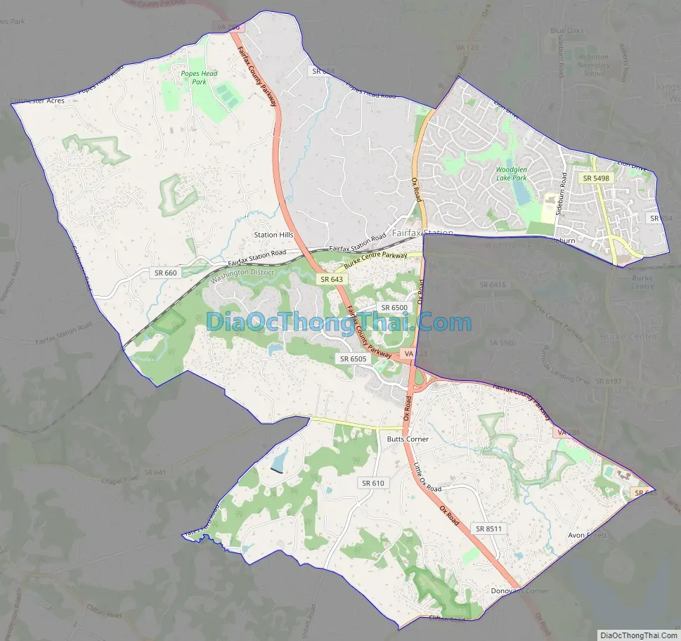
Fairfax Station Road Map
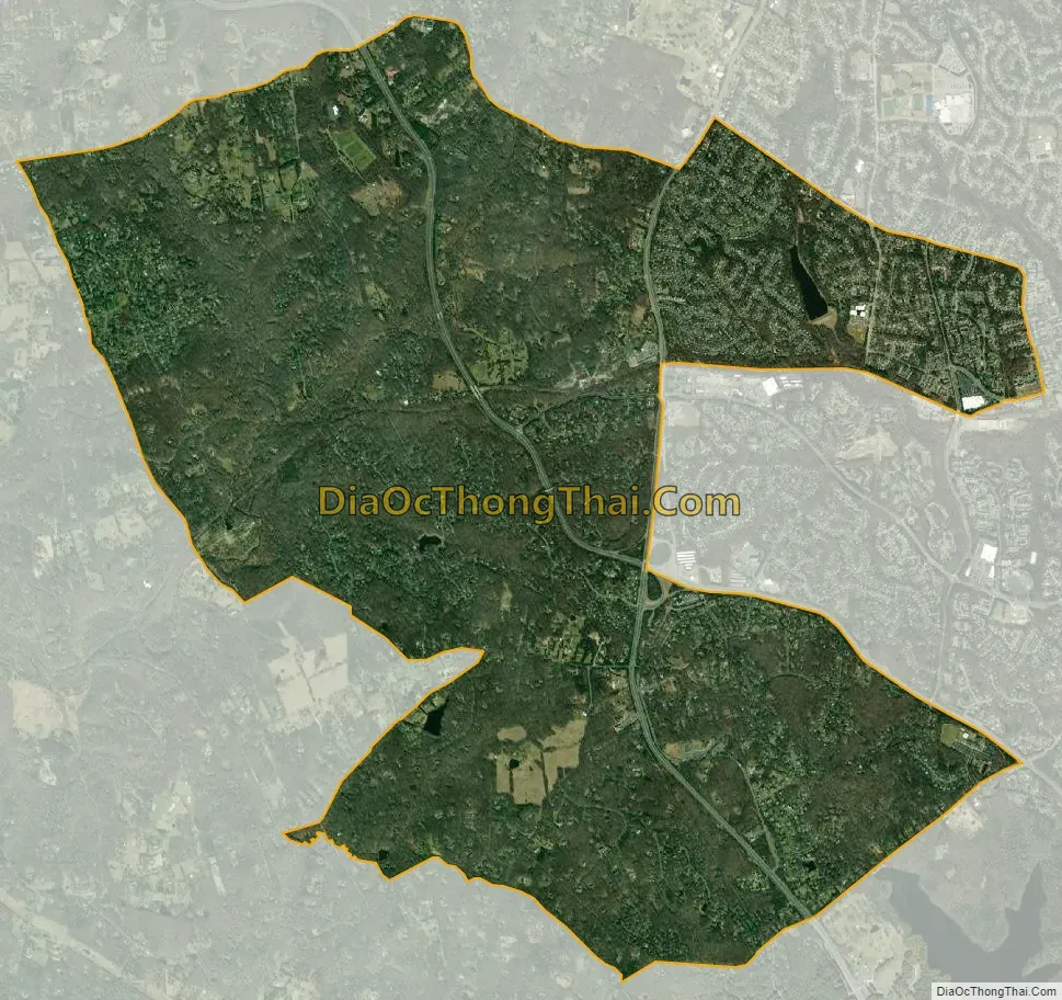
Fairfax Station city Satellite Map
Geography
Fairfax Station is located in western Fairfax County, between Clifton to the west, Burke to the east, and the city of Fairfax to the north. The original community of Fairfax Station is located in the eastern part of the CDP, where State Route 123 (Ox Road) crosses the Norfolk Southern Railway line. State Route 286, the Fairfax County Parkway, curves through the center of the CDP, leading northwest to Fair Lakes and southeast to Newington.
Population densities range from 200 to 500 per square mile (77 to 193 per square kilometer) in the northern, southern, and western portions of the CDP, to between 1,600 and 2,200 per square mile (584 to 849 per square kilometer) in the center and eastern portions.
According to the U.S. Census Bureau, the Fairfax Station CDP has a total area of 9.2 square miles (23.8 km), of which 9.1 square miles (23.6 km) is land and 0.1 square miles (0.2 km), or 0.85%, is water.
See also
Map of Virginia State and its subdivision:- Accomack
- Albemarle
- Alexandria
- Alleghany
- Amelia
- Amherst
- Appomattox
- Arlington
- Augusta
- Bath
- Bedford
- Bedford City
- Bland
- Botetourt
- Bristol
- Brunswick
- Buchanan
- Buckingham
- Buena Vista
- Campbell
- Caroline
- Carroll
- Charles City
- Charlotte
- Charlottesville
- Chesapeake
- Chesterfield
- Clarke
- Clifton Forge City
- Colonial Heights
- Covington
- Craig
- Culpeper
- Cumberland
- Danville
- Dickenson
- Dinwiddie
- Emporia
- Essex
- Fairfax
- Fairfax City
- Falls Church
- Fauquier
- Floyd
- Fluvanna
- Franklin
- Frederick
- Fredericksburg
- Galax
- Giles
- Gloucester
- Goochland
- Grayson
- Greene
- Greensville
- Halifax
- Hampton
- Hanover
- Harrisonburg
- Henrico
- Henry
- Highland
- Hopewell
- Isle of Wight
- James City
- King and Queen
- King George
- King William
- Lancaster
- Lee
- Lexington
- Loudoun
- Louisa
- Lunenburg
- Lynchburg
- Madison
- Manassas
- Manassas Park
- Martinsville
- Mathews
- Mecklenburg
- Middlesex
- Montgomery
- Nelson
- New Kent
- Newport News
- Norfolk
- Northampton
- Northumberland
- Norton
- Nottoway
- Orange
- Page
- Patrick
- Petersburg
- Pittsylvania
- Poquoson
- Portsmouth
- Powhatan
- Prince Edward
- Prince George
- Prince William
- Pulaski
- Radford
- Rappahannock
- Richmond
- Roanoke
- Roanoke City
- Rockbridge
- Rockingham
- Russell
- Salem
- Scott
- Shenandoah
- Smyth
- Southampton
- Spotsylvania
- Stafford
- Staunton
- Suffolk
- Surry
- Sussex
- Tazewell
- Virginia Beach
- Warren
- Washington
- Waynesboro
- Westmoreland
- Williamsburg
- Winchester
- Wise
- Wythe
- York
- Alabama
- Alaska
- Arizona
- Arkansas
- California
- Colorado
- Connecticut
- Delaware
- District of Columbia
- Florida
- Georgia
- Hawaii
- Idaho
- Illinois
- Indiana
- Iowa
- Kansas
- Kentucky
- Louisiana
- Maine
- Maryland
- Massachusetts
- Michigan
- Minnesota
- Mississippi
- Missouri
- Montana
- Nebraska
- Nevada
- New Hampshire
- New Jersey
- New Mexico
- New York
- North Carolina
- North Dakota
- Ohio
- Oklahoma
- Oregon
- Pennsylvania
- Rhode Island
- South Carolina
- South Dakota
- Tennessee
- Texas
- Utah
- Vermont
- Virginia
- Washington
- West Virginia
- Wisconsin
- Wyoming


