George Mason is a census-designated place (CDP) in Fairfax County, Virginia, United States. The population as of the 2010 census was 9,496. It consists of George Mason University and some adjacent neighborhoods to the south and southwest of the city of Fairfax, and is named for American Founding Father George Mason.
| Name: | George Mason CDP |
|---|---|
| LSAD Code: | 57 |
| LSAD Description: | CDP (suffix) |
| State: | Virginia |
| County: | Fairfax County |
| Incorporated: | July 26, 2013 |
| Elevation: | 450 ft (140 m) |
| Total Area: | 2.5 sq mi (6.55 km²) |
| Land Area: | 2.5 sq mi (6.52 km²) |
| Water Area: | 0.02 sq mi (0.04 km²) 0.53% |
| Total Population: | 9,496 |
| Population Density: | 3,837/sq mi (1,481.4/km²) |
| ZIP code: | 22030, 22032 |
| Area code: | 571, 703 |
| FIPS code: | 5130618 |
| GNISfeature ID: | 2584851 |
| Website: | http://gmfhoa.org/ |
Online Interactive Map
Click on ![]() to view map in "full screen" mode.
to view map in "full screen" mode.
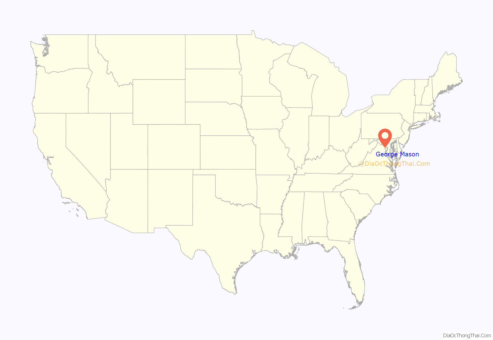
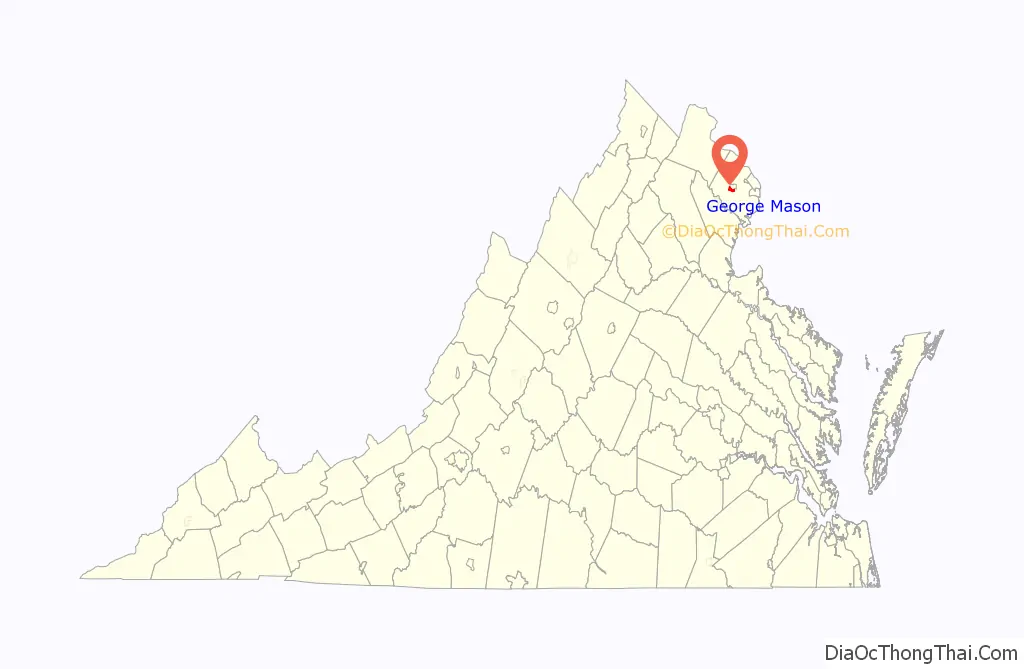
George Mason location map. Where is George Mason CDP?
History
The land that is now George Mason was located on the farm of John and Harriet Burtis, originally of New York State; the Burtises were abolitionists who grew vegetables and raised sheep. On May 25, 1861, Corporal John Barnes of the C.S.A. 17th Virginia Infantry Regiment’s Company D, also known as the Fairfax Rifle Rangers, riding with his companion, ordered Burtis to give him provisions. Burtis procured several of his sheep for the Corporal, but refused to use his team of horses to move them to the Confederate camp in Fairfax Station. Barnes eventually convinced a local free black man to move the sheep for him, but loudly declared in the presence of the man that he would arrest Burtis and seize his team. Burtis, having learned of the danger he was in, left with his wife and his team, taking a “…circuitous route through the woods”, eventually reaching Washington.
In 1962, planning began for the 150 acres of land donated by the City of Fairfax to be the new campus of George Mason College of the University of Virginia, with the campus opening in 1964. In 1972, Governor of Virginia Linwood Holton signed legislation to separate George Mason College from the University of Virginia, renaming it George Mason University.
A. G. Van Metre Associates began developing George Mason Forest in the early 1980s, and completed the community in 2003, having built approximately 200 single-family homes. On July 3, 2013, the George Mason Forest Homeowners Association filed for incorporation, successfully being granted corporation status on July 26.
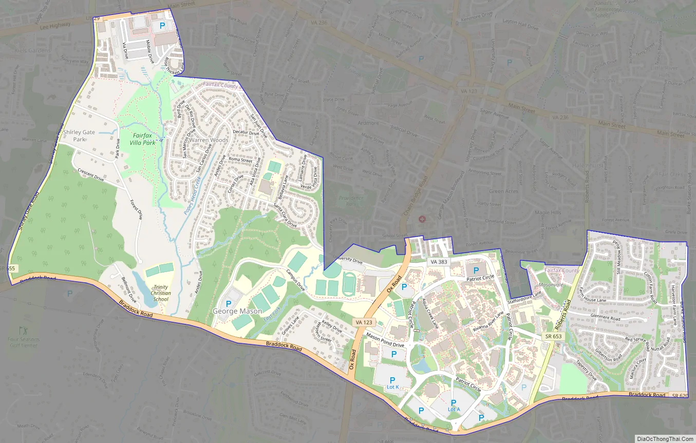
George Mason Road Map
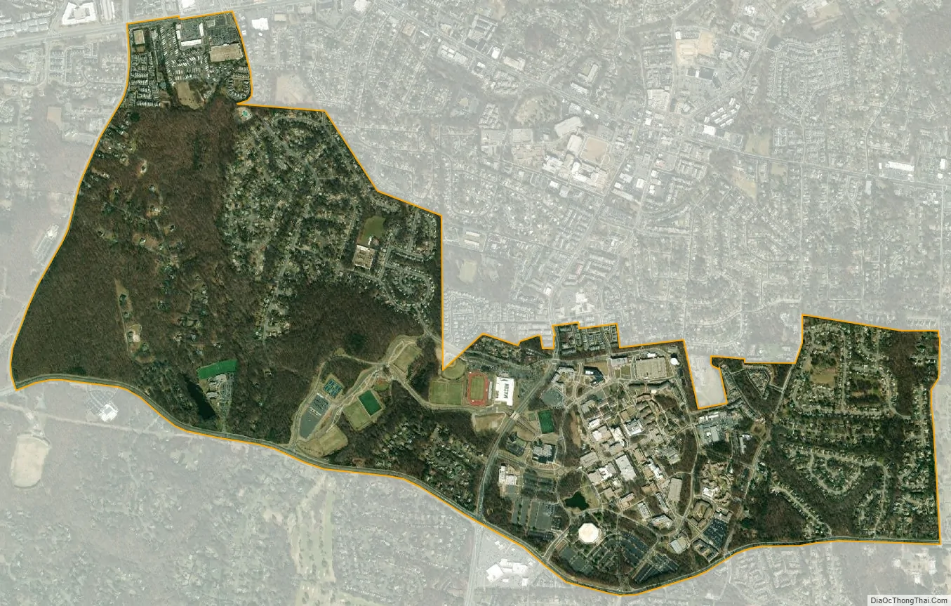
George Mason city Satellite Map
Geography
The CDP is bordered to the north by the Fairfax city line, to the west by Shirley Gate Road, to the south by Braddock Road, and to the east by Burke Station Road. The university campus is largely to the east of Ox Road (Virginia State Route 123), which runs north to south across the center of the CDP. Many of the university’s athletic facilities are west of Ox Road, however. According to the U.S. Census Bureau, the CDP has a total area of 2.5 square miles (6.6 km), of which 0.02 square miles (0.04 km), or 0.53%, is water.
See also
Map of Virginia State and its subdivision:- Accomack
- Albemarle
- Alexandria
- Alleghany
- Amelia
- Amherst
- Appomattox
- Arlington
- Augusta
- Bath
- Bedford
- Bedford City
- Bland
- Botetourt
- Bristol
- Brunswick
- Buchanan
- Buckingham
- Buena Vista
- Campbell
- Caroline
- Carroll
- Charles City
- Charlotte
- Charlottesville
- Chesapeake
- Chesterfield
- Clarke
- Clifton Forge City
- Colonial Heights
- Covington
- Craig
- Culpeper
- Cumberland
- Danville
- Dickenson
- Dinwiddie
- Emporia
- Essex
- Fairfax
- Fairfax City
- Falls Church
- Fauquier
- Floyd
- Fluvanna
- Franklin
- Frederick
- Fredericksburg
- Galax
- Giles
- Gloucester
- Goochland
- Grayson
- Greene
- Greensville
- Halifax
- Hampton
- Hanover
- Harrisonburg
- Henrico
- Henry
- Highland
- Hopewell
- Isle of Wight
- James City
- King and Queen
- King George
- King William
- Lancaster
- Lee
- Lexington
- Loudoun
- Louisa
- Lunenburg
- Lynchburg
- Madison
- Manassas
- Manassas Park
- Martinsville
- Mathews
- Mecklenburg
- Middlesex
- Montgomery
- Nelson
- New Kent
- Newport News
- Norfolk
- Northampton
- Northumberland
- Norton
- Nottoway
- Orange
- Page
- Patrick
- Petersburg
- Pittsylvania
- Poquoson
- Portsmouth
- Powhatan
- Prince Edward
- Prince George
- Prince William
- Pulaski
- Radford
- Rappahannock
- Richmond
- Roanoke
- Roanoke City
- Rockbridge
- Rockingham
- Russell
- Salem
- Scott
- Shenandoah
- Smyth
- Southampton
- Spotsylvania
- Stafford
- Staunton
- Suffolk
- Surry
- Sussex
- Tazewell
- Virginia Beach
- Warren
- Washington
- Waynesboro
- Westmoreland
- Williamsburg
- Winchester
- Wise
- Wythe
- York
- Alabama
- Alaska
- Arizona
- Arkansas
- California
- Colorado
- Connecticut
- Delaware
- District of Columbia
- Florida
- Georgia
- Hawaii
- Idaho
- Illinois
- Indiana
- Iowa
- Kansas
- Kentucky
- Louisiana
- Maine
- Maryland
- Massachusetts
- Michigan
- Minnesota
- Mississippi
- Missouri
- Montana
- Nebraska
- Nevada
- New Hampshire
- New Jersey
- New Mexico
- New York
- North Carolina
- North Dakota
- Ohio
- Oklahoma
- Oregon
- Pennsylvania
- Rhode Island
- South Carolina
- South Dakota
- Tennessee
- Texas
- Utah
- Vermont
- Virginia
- Washington
- West Virginia
- Wisconsin
- Wyoming


