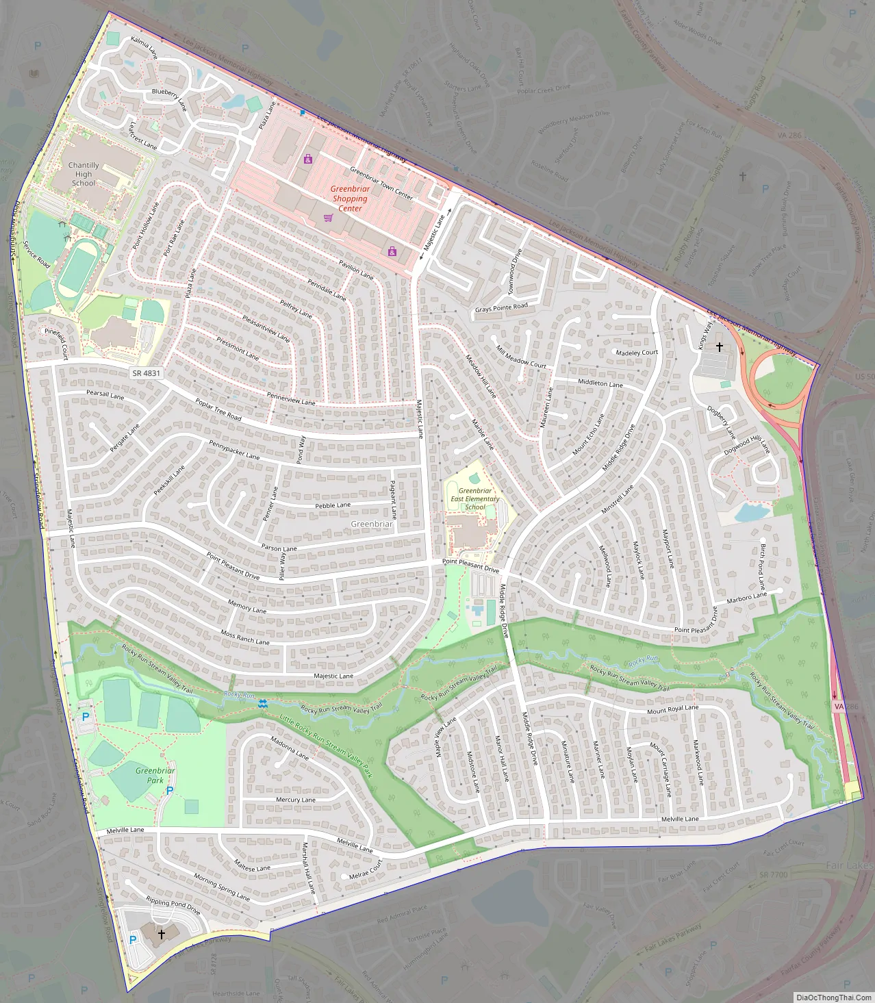
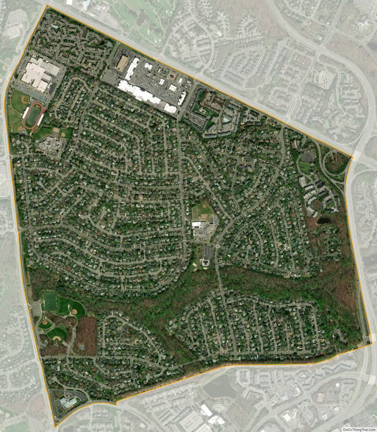
Greenbriar is a census-designated place in Fairfax County, Virginia, United States. The population as of the 2010 census was 8,166. The community between Fairfax City and Chantilly dates from the late 1960s, when it was developed by Levitt & Sons. The community is famous for having only one road within its territory that does not start with an “M” or “P”, which is Acorn Hill (added in 1994 with the addition of five mansions to the community). A popular (but not proven) belief is that the roads were named after the architect’s two children. One drawback for residents of the community is that with nearly identical sounding named roads (for example, Mayport and Maylock) in such close proximity to each other and house numbers being the same, the US Postal Service along with UPS and FedEx sometimes deliver items to the wrong house.
| Name: | Greenbriar CDP |
|---|---|
| LSAD Code: | 57 |
| LSAD Description: | CDP (suffix) |
| State: | Virginia |
| County: | Fairfax County |
| Elevation: | 365 ft (111 m) |
| Total Area: | 1.58 sq mi (4.08 km²) |
| Land Area: | 1.57 sq mi (4.06 km²) |
| Water Area: | 0.008 sq mi (0.02 km²) |
| Total Population: | 8,166 |
| Population Density: | 5,207/sq mi (2,010.6/km²) |
| ZIP code: | 22033 |
| FIPS code: | 5132592 |
| GNISfeature ID: | 2584853 |
Online Interactive Map
Click on ![]() to view map in "full screen" mode.
to view map in "full screen" mode.
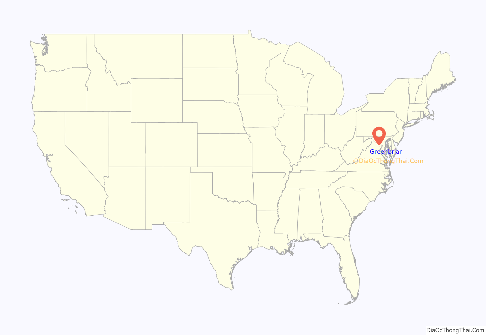
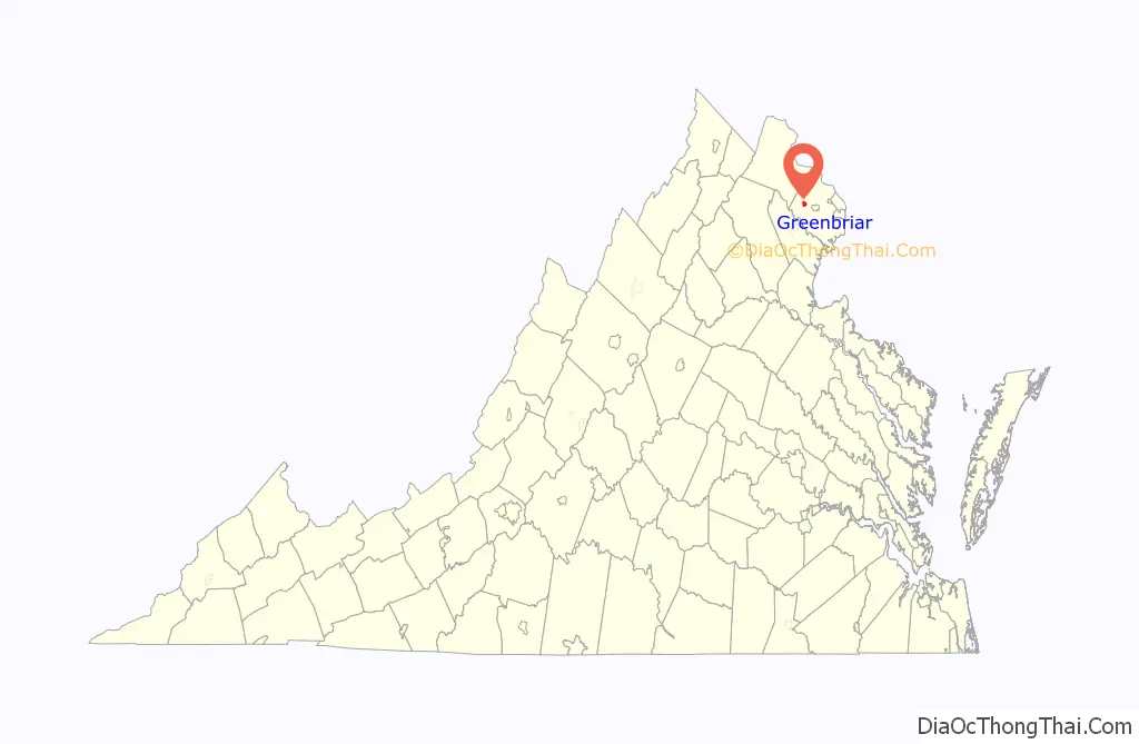
Greenbriar location map. Where is Greenbriar CDP?
Greenbriar Road Map
Greenbriar city Satellite Map
Geography
Greenbriar is located in western Fairfax County, bordered by Chantilly to the west, Fair Lakes to the south, and Fair Oaks to the east. U.S. Route 50 forms the northern border of the CDP. US 50 leads east 5 miles (8 km) to the center of Fairfax, and 22 miles (35 km) to downtown Washington, D.C. According to the U.S. Census Bureau, the Greenbriar CDP has a total area of 1.6 square miles (4.1 km), of which 0.01 square miles (0.02 km), or 0.54%, is water.
See also
Map of Virginia State and its subdivision:- Accomack
- Albemarle
- Alexandria
- Alleghany
- Amelia
- Amherst
- Appomattox
- Arlington
- Augusta
- Bath
- Bedford
- Bedford City
- Bland
- Botetourt
- Bristol
- Brunswick
- Buchanan
- Buckingham
- Buena Vista
- Campbell
- Caroline
- Carroll
- Charles City
- Charlotte
- Charlottesville
- Chesapeake
- Chesterfield
- Clarke
- Clifton Forge City
- Colonial Heights
- Covington
- Craig
- Culpeper
- Cumberland
- Danville
- Dickenson
- Dinwiddie
- Emporia
- Essex
- Fairfax
- Fairfax City
- Falls Church
- Fauquier
- Floyd
- Fluvanna
- Franklin
- Frederick
- Fredericksburg
- Galax
- Giles
- Gloucester
- Goochland
- Grayson
- Greene
- Greensville
- Halifax
- Hampton
- Hanover
- Harrisonburg
- Henrico
- Henry
- Highland
- Hopewell
- Isle of Wight
- James City
- King and Queen
- King George
- King William
- Lancaster
- Lee
- Lexington
- Loudoun
- Louisa
- Lunenburg
- Lynchburg
- Madison
- Manassas
- Manassas Park
- Martinsville
- Mathews
- Mecklenburg
- Middlesex
- Montgomery
- Nelson
- New Kent
- Newport News
- Norfolk
- Northampton
- Northumberland
- Norton
- Nottoway
- Orange
- Page
- Patrick
- Petersburg
- Pittsylvania
- Poquoson
- Portsmouth
- Powhatan
- Prince Edward
- Prince George
- Prince William
- Pulaski
- Radford
- Rappahannock
- Richmond
- Roanoke
- Roanoke City
- Rockbridge
- Rockingham
- Russell
- Salem
- Scott
- Shenandoah
- Smyth
- Southampton
- Spotsylvania
- Stafford
- Staunton
- Suffolk
- Surry
- Sussex
- Tazewell
- Virginia Beach
- Warren
- Washington
- Waynesboro
- Westmoreland
- Williamsburg
- Winchester
- Wise
- Wythe
- York
- Alabama
- Alaska
- Arizona
- Arkansas
- California
- Colorado
- Connecticut
- Delaware
- District of Columbia
- Florida
- Georgia
- Hawaii
- Idaho
- Illinois
- Indiana
- Iowa
- Kansas
- Kentucky
- Louisiana
- Maine
- Maryland
- Massachusetts
- Michigan
- Minnesota
- Mississippi
- Missouri
- Montana
- Nebraska
- Nevada
- New Hampshire
- New Jersey
- New Mexico
- New York
- North Carolina
- North Dakota
- Ohio
- Oklahoma
- Oregon
- Pennsylvania
- Rhode Island
- South Carolina
- South Dakota
- Tennessee
- Texas
- Utah
- Vermont
- Virginia
- Washington
- West Virginia
- Wisconsin
- Wyoming


