Idylwood is a census-designated place (CDP) in Fairfax County, Virginia, United States. The population was 17,954 as of the 2020 census. It originally developed as a suburban community along the route of the Washington and Old Dominion Railroad, and later along Virginia State Route 7. The construction of the Capital Beltway in the 1960s, and I-66 and the Orange Line of the Washington Metrorail system in the 1980s, as well as the concurrent development of nearby Tysons Corner into Washington’s leading suburban business district, led to the development of several apartment, townhouse, and small-lot single-family housing complexes, as well as the high-rise Idylwood Towers condominium, in the portion of Idylwood lying to the north of I-66. The area to the south of I-66 remains primarily large-lot single-family.
| Name: | Idylwood CDP |
|---|---|
| LSAD Code: | 57 |
| LSAD Description: | CDP (suffix) |
| State: | Virginia |
| County: | Fairfax County |
| Elevation: | 463 ft (141 m) |
| Total Area: | 2.81 sq mi (7.3 km²) |
| Land Area: | 2.80 sq mi (7.3 km²) |
| Water Area: | 0.01 sq mi (0.03 km²) |
| Total Population: | 17,954 |
| Population Density: | 6,412.14/sq mi (2,475.74/km²) |
| FIPS code: | 5139448 |
| GNISfeature ID: | 1495738 |
Online Interactive Map
Click on ![]() to view map in "full screen" mode.
to view map in "full screen" mode.
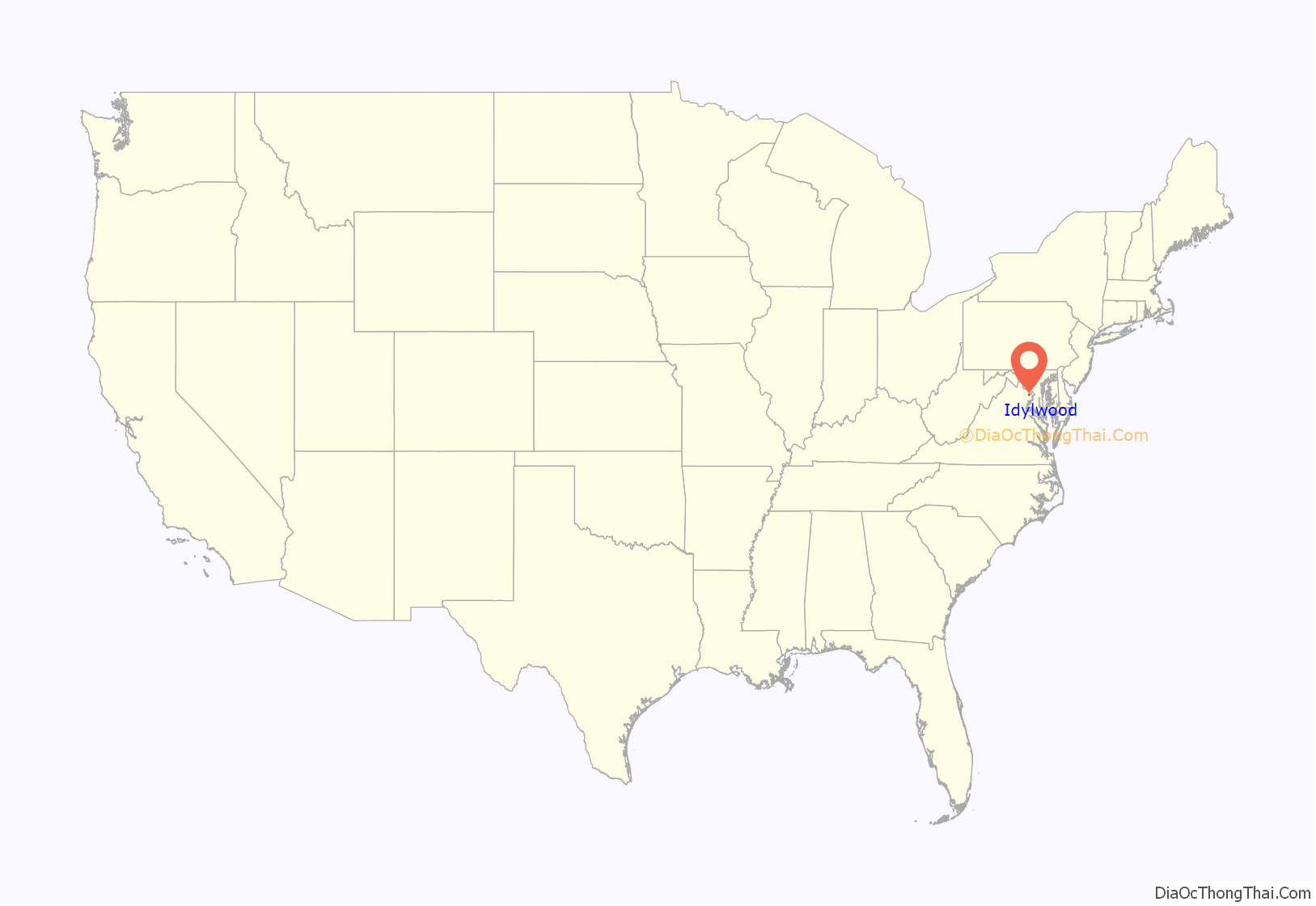
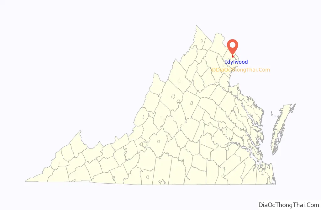
Idylwood location map. Where is Idylwood CDP?
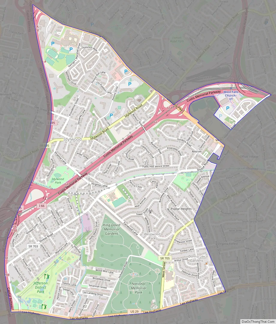
Idylwood Road Map
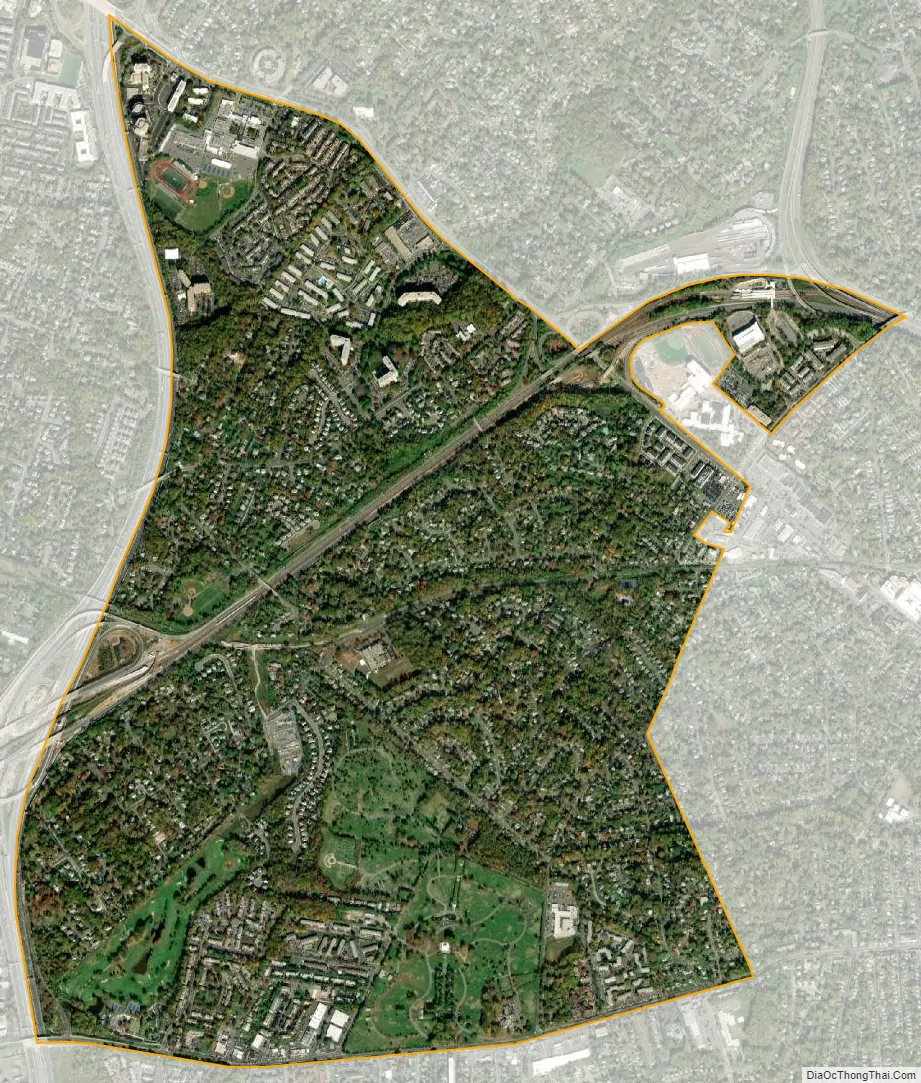
Idylwood city Satellite Map
Geography
Idylwood is located in eastern Fairfax County at 38°53′23″N 77°12′21″W / 38.88972°N 77.20583°W / 38.88972; -77.20583 (38.889722, −77.205920). It is bordered to the east by the city of Falls Church, to the north by Pimmit Hills and Tysons Corner, to the west by Dunn Loring, to the southwest by Merrifield, and to the south by West Falls Church. The Capital Beltway forms the western border of the CDP, Virginia Route 7 (Leesburg Pike) forms the northern border, and U.S. Route 29 (Lee Highway) forms the southern border.
According to the United States Census Bureau, the CDP has a total area of 2.81 square miles (7.3 km), of which 0.01 square miles (0.026 km) is water.
See also
Map of Virginia State and its subdivision:- Accomack
- Albemarle
- Alexandria
- Alleghany
- Amelia
- Amherst
- Appomattox
- Arlington
- Augusta
- Bath
- Bedford
- Bedford City
- Bland
- Botetourt
- Bristol
- Brunswick
- Buchanan
- Buckingham
- Buena Vista
- Campbell
- Caroline
- Carroll
- Charles City
- Charlotte
- Charlottesville
- Chesapeake
- Chesterfield
- Clarke
- Clifton Forge City
- Colonial Heights
- Covington
- Craig
- Culpeper
- Cumberland
- Danville
- Dickenson
- Dinwiddie
- Emporia
- Essex
- Fairfax
- Fairfax City
- Falls Church
- Fauquier
- Floyd
- Fluvanna
- Franklin
- Frederick
- Fredericksburg
- Galax
- Giles
- Gloucester
- Goochland
- Grayson
- Greene
- Greensville
- Halifax
- Hampton
- Hanover
- Harrisonburg
- Henrico
- Henry
- Highland
- Hopewell
- Isle of Wight
- James City
- King and Queen
- King George
- King William
- Lancaster
- Lee
- Lexington
- Loudoun
- Louisa
- Lunenburg
- Lynchburg
- Madison
- Manassas
- Manassas Park
- Martinsville
- Mathews
- Mecklenburg
- Middlesex
- Montgomery
- Nelson
- New Kent
- Newport News
- Norfolk
- Northampton
- Northumberland
- Norton
- Nottoway
- Orange
- Page
- Patrick
- Petersburg
- Pittsylvania
- Poquoson
- Portsmouth
- Powhatan
- Prince Edward
- Prince George
- Prince William
- Pulaski
- Radford
- Rappahannock
- Richmond
- Roanoke
- Roanoke City
- Rockbridge
- Rockingham
- Russell
- Salem
- Scott
- Shenandoah
- Smyth
- Southampton
- Spotsylvania
- Stafford
- Staunton
- Suffolk
- Surry
- Sussex
- Tazewell
- Virginia Beach
- Warren
- Washington
- Waynesboro
- Westmoreland
- Williamsburg
- Winchester
- Wise
- Wythe
- York
- Alabama
- Alaska
- Arizona
- Arkansas
- California
- Colorado
- Connecticut
- Delaware
- District of Columbia
- Florida
- Georgia
- Hawaii
- Idaho
- Illinois
- Indiana
- Iowa
- Kansas
- Kentucky
- Louisiana
- Maine
- Maryland
- Massachusetts
- Michigan
- Minnesota
- Mississippi
- Missouri
- Montana
- Nebraska
- Nevada
- New Hampshire
- New Jersey
- New Mexico
- New York
- North Carolina
- North Dakota
- Ohio
- Oklahoma
- Oregon
- Pennsylvania
- Rhode Island
- South Carolina
- South Dakota
- Tennessee
- Texas
- Utah
- Vermont
- Virginia
- Washington
- West Virginia
- Wisconsin
- Wyoming


