Kings Park West is a census-designated place in the eastern USA, in Fairfax County, Virginia, southwest of Washington, D.C. The population as of the 2010 census was 13,390.
| Name: | Kings Park West CDP |
|---|---|
| LSAD Code: | 57 |
| LSAD Description: | CDP (suffix) |
| State: | Virginia |
| County: | Fairfax County |
| Elevation: | 400 ft (100 m) |
| Total Area: | 3.04 sq mi (7.87 km²) |
| Land Area: | 2.97 sq mi (7.70 km²) |
| Water Area: | 0.07 sq mi (0.17 km²) |
| Total Population: | 13,390 |
| Population Density: | 4,504/sq mi (1,739.0/km²) |
| ZIP code: | 22032 (Fairfax) |
| FIPS code: | 5142680 |
| GNISfeature ID: | 2584861 |
Online Interactive Map
Click on ![]() to view map in "full screen" mode.
to view map in "full screen" mode.
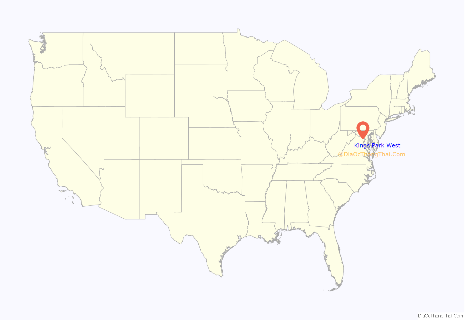
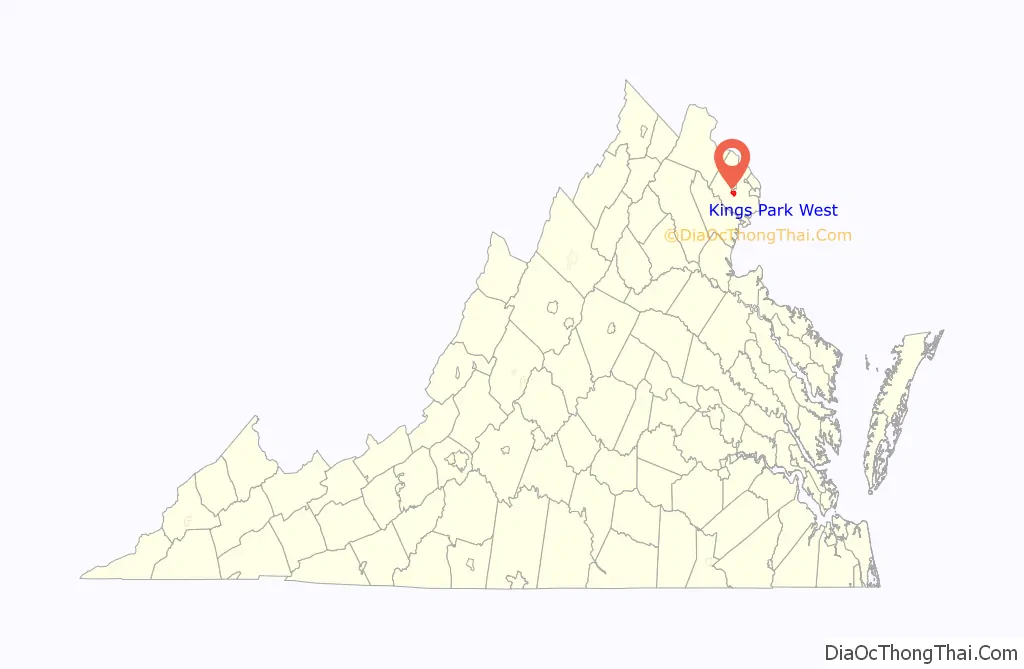
Kings Park West location map. Where is Kings Park West CDP?
History
Following the success of its Kings Park development earlier in the decade, Richmarr Construction Corporation started on Kings Park West. Construction began 56 years ago in mid-1967 and the first homes were available in 1968. The development was built in sections, with the final section completed in 1986.
Kings Park West includes Laurel Ridge Elementary School, dating from 1970. On the development’s west boundary, Robinson Secondary School opened in 1971.
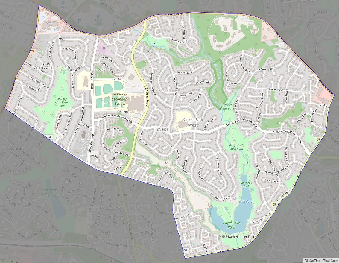
Kings Park West Road Map
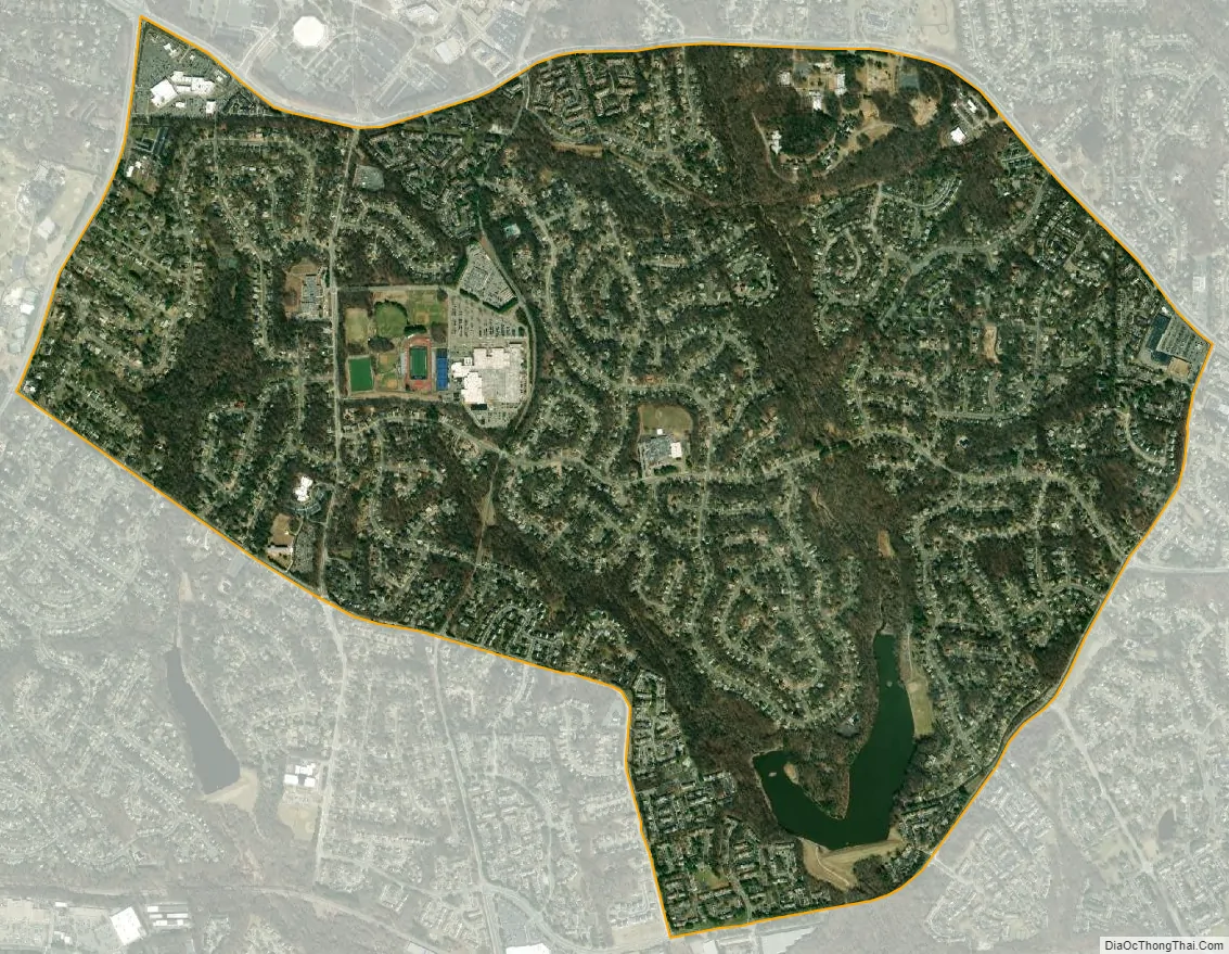
Kings Park West city Satellite Map
Geography
The CDP is located in central Fairfax County, south of the city of Fairfax. It is bordered to the north by the George Mason CDP, to the northeast by Long Branch, to the southeast by Burke, and to the south by Fairfax Station. The CDP border follows Braddock Road on the north, Guinea Road on the southeast, Zion Drive on the southwest, and State Route 123 (Ox Road) on the west. Downtown Fairfax is two miles (3 km) to the north, and downtown Washington, D.C. is twenty miles (30 km) to the northeast.
According to the U.S Census Bureau, the Kings Park West CDP has a total area of 3.04 square miles (7.87 km), of which 2.97 square miles (7.70 km) is land and 0.066 square miles (0.17 km), or 2.11%, is water.
See also
Map of Virginia State and its subdivision:- Accomack
- Albemarle
- Alexandria
- Alleghany
- Amelia
- Amherst
- Appomattox
- Arlington
- Augusta
- Bath
- Bedford
- Bedford City
- Bland
- Botetourt
- Bristol
- Brunswick
- Buchanan
- Buckingham
- Buena Vista
- Campbell
- Caroline
- Carroll
- Charles City
- Charlotte
- Charlottesville
- Chesapeake
- Chesterfield
- Clarke
- Clifton Forge City
- Colonial Heights
- Covington
- Craig
- Culpeper
- Cumberland
- Danville
- Dickenson
- Dinwiddie
- Emporia
- Essex
- Fairfax
- Fairfax City
- Falls Church
- Fauquier
- Floyd
- Fluvanna
- Franklin
- Frederick
- Fredericksburg
- Galax
- Giles
- Gloucester
- Goochland
- Grayson
- Greene
- Greensville
- Halifax
- Hampton
- Hanover
- Harrisonburg
- Henrico
- Henry
- Highland
- Hopewell
- Isle of Wight
- James City
- King and Queen
- King George
- King William
- Lancaster
- Lee
- Lexington
- Loudoun
- Louisa
- Lunenburg
- Lynchburg
- Madison
- Manassas
- Manassas Park
- Martinsville
- Mathews
- Mecklenburg
- Middlesex
- Montgomery
- Nelson
- New Kent
- Newport News
- Norfolk
- Northampton
- Northumberland
- Norton
- Nottoway
- Orange
- Page
- Patrick
- Petersburg
- Pittsylvania
- Poquoson
- Portsmouth
- Powhatan
- Prince Edward
- Prince George
- Prince William
- Pulaski
- Radford
- Rappahannock
- Richmond
- Roanoke
- Roanoke City
- Rockbridge
- Rockingham
- Russell
- Salem
- Scott
- Shenandoah
- Smyth
- Southampton
- Spotsylvania
- Stafford
- Staunton
- Suffolk
- Surry
- Sussex
- Tazewell
- Virginia Beach
- Warren
- Washington
- Waynesboro
- Westmoreland
- Williamsburg
- Winchester
- Wise
- Wythe
- York
- Alabama
- Alaska
- Arizona
- Arkansas
- California
- Colorado
- Connecticut
- Delaware
- District of Columbia
- Florida
- Georgia
- Hawaii
- Idaho
- Illinois
- Indiana
- Iowa
- Kansas
- Kentucky
- Louisiana
- Maine
- Maryland
- Massachusetts
- Michigan
- Minnesota
- Mississippi
- Missouri
- Montana
- Nebraska
- Nevada
- New Hampshire
- New Jersey
- New Mexico
- New York
- North Carolina
- North Dakota
- Ohio
- Oklahoma
- Oregon
- Pennsylvania
- Rhode Island
- South Carolina
- South Dakota
- Tennessee
- Texas
- Utah
- Vermont
- Virginia
- Washington
- West Virginia
- Wisconsin
- Wyoming


