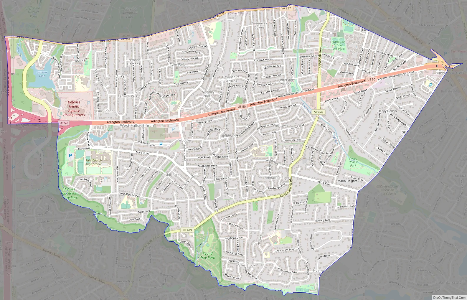
West Falls Church is a census-designated place (CDP) in Fairfax County, Virginia, United States. The population was 29,207 at the 2010 census. Before 2010, West Falls Church was officially named Jefferson. Outside of the Jefferson Village neighborhood, “Jefferson” generally is not used locally to refer to the area bounding Falls Church city to the south and southwest that comprises the CDP. Likewise, “West Falls Church” is rarely used to describe the area but is usually applied to areas west of Falls Church city or near West Falls Church Metro station. The bulk of it is made of subdivisions built in the 1940s and early 1950s, including Jefferson Village, Westlawn, Hillwood, Sleepy Hollow, Woodley, Raymondale and Broyhill Park.
| Name: | West Falls Church CDP |
|---|---|
| LSAD Code: | 57 |
| LSAD Description: | CDP (suffix) |
| State: | Virginia |
| County: | Fairfax County |
| Elevation: | 331 ft (101 m) |
| Total Area: | 5.0 sq mi (13.0 km²) |
| Land Area: | 5.0 sq mi (12.9 km²) |
| Water Area: | 0.04 sq mi (0.1 km²) |
| Total Population: | 29,207 |
| Population Density: | 5,800/sq mi (2,200/km²) |
| FIPS code: | 5184368 |
| GNISfeature ID: | 2389981 |
Online Interactive Map
Click on ![]() to view map in "full screen" mode.
to view map in "full screen" mode.
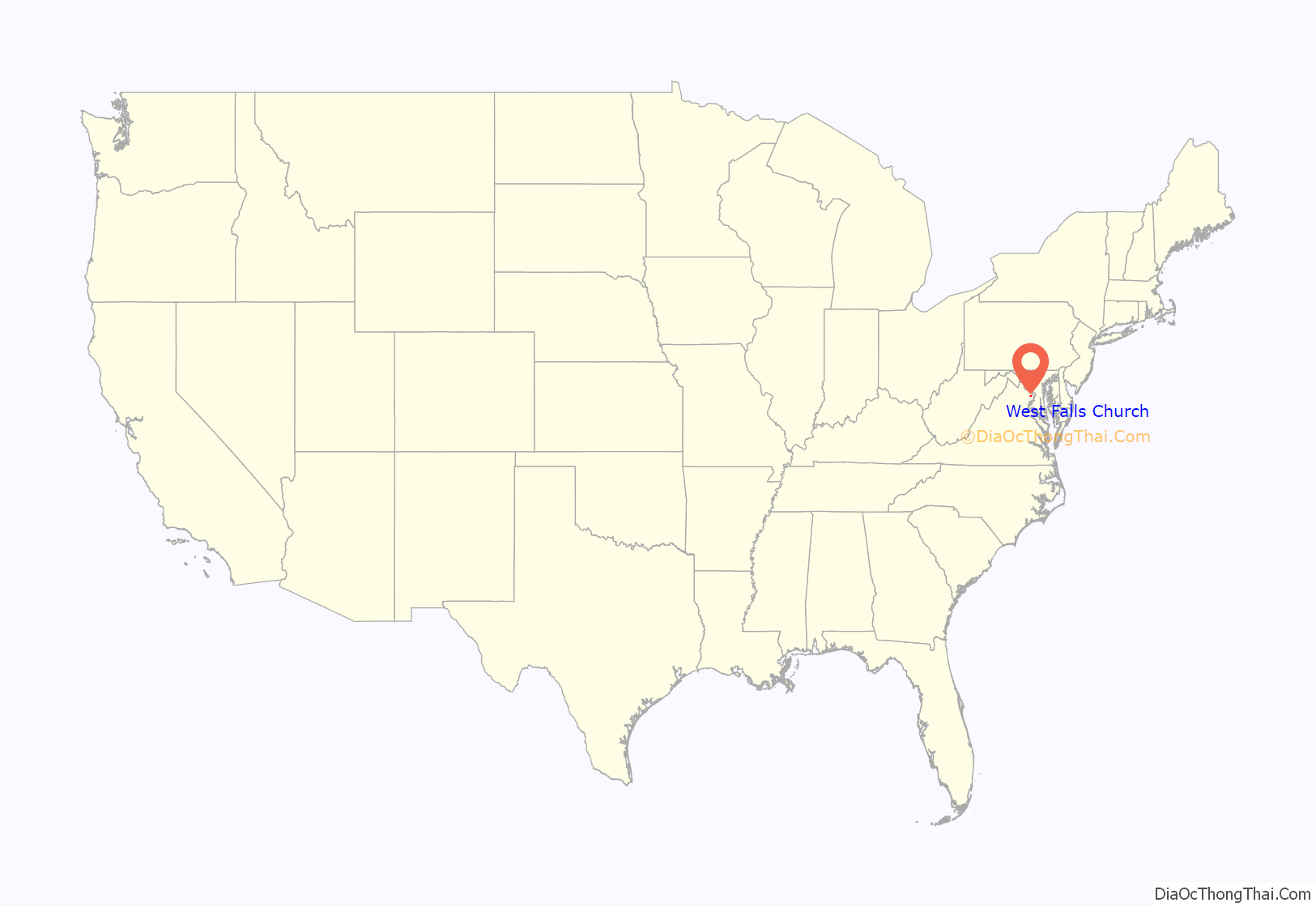
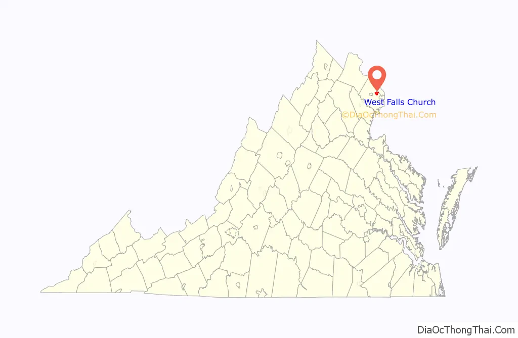
West Falls Church location map. Where is West Falls Church CDP?
History
Following the American Civil War, local blacks established prosperous communities in an area then called South Falls Church, along Tinner’s Hill and elsewhere. In 1887, white Falls Church residents successfully gerrymandered heavily black South Falls Church out of the town limits and shrank the area of the town by one third. It is speculated that the reason for the shrinking of the town limits was a fear of black power to swing local elections. This was never reversed, and caused the boundary of the future City of Falls Church to follow South Washington Street. The name South Falls Church subsequently fell out of use.
Before 2010, the West Falls Church CDP was officially named Jefferson but that name was rarely used for the area. As the CDP does not lie to the immediate west of Falls Church city, “West Falls Church” is also an uncommon designation for the area and more often refers to the area around West Falls Church station several miles away in the Idylwood CDP.
West Falls Church Road Map
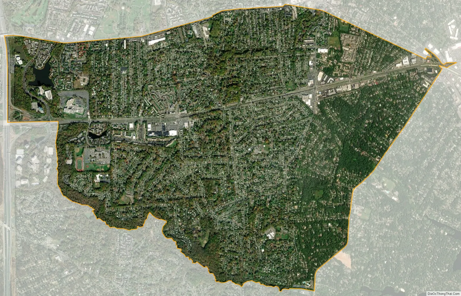
West Falls Church city Satellite Map
Geography
West Falls Church is located at 38°51′56″N 77°11′16″W / 38.86556°N 77.18778°W / 38.86556; -77.18778 (38.8655595, −77.1876993).
According to the United States Census Bureau, the CDP has a total area of 5.03 square miles (13.0 km), of which, 4.99 square miles (12.9 km) of it is land and 0.04 square miles (0.1 km) of it (0.77%) is water.
See also
Map of Virginia State and its subdivision:- Accomack
- Albemarle
- Alexandria
- Alleghany
- Amelia
- Amherst
- Appomattox
- Arlington
- Augusta
- Bath
- Bedford
- Bedford City
- Bland
- Botetourt
- Bristol
- Brunswick
- Buchanan
- Buckingham
- Buena Vista
- Campbell
- Caroline
- Carroll
- Charles City
- Charlotte
- Charlottesville
- Chesapeake
- Chesterfield
- Clarke
- Clifton Forge City
- Colonial Heights
- Covington
- Craig
- Culpeper
- Cumberland
- Danville
- Dickenson
- Dinwiddie
- Emporia
- Essex
- Fairfax
- Fairfax City
- Falls Church
- Fauquier
- Floyd
- Fluvanna
- Franklin
- Frederick
- Fredericksburg
- Galax
- Giles
- Gloucester
- Goochland
- Grayson
- Greene
- Greensville
- Halifax
- Hampton
- Hanover
- Harrisonburg
- Henrico
- Henry
- Highland
- Hopewell
- Isle of Wight
- James City
- King and Queen
- King George
- King William
- Lancaster
- Lee
- Lexington
- Loudoun
- Louisa
- Lunenburg
- Lynchburg
- Madison
- Manassas
- Manassas Park
- Martinsville
- Mathews
- Mecklenburg
- Middlesex
- Montgomery
- Nelson
- New Kent
- Newport News
- Norfolk
- Northampton
- Northumberland
- Norton
- Nottoway
- Orange
- Page
- Patrick
- Petersburg
- Pittsylvania
- Poquoson
- Portsmouth
- Powhatan
- Prince Edward
- Prince George
- Prince William
- Pulaski
- Radford
- Rappahannock
- Richmond
- Roanoke
- Roanoke City
- Rockbridge
- Rockingham
- Russell
- Salem
- Scott
- Shenandoah
- Smyth
- Southampton
- Spotsylvania
- Stafford
- Staunton
- Suffolk
- Surry
- Sussex
- Tazewell
- Virginia Beach
- Warren
- Washington
- Waynesboro
- Westmoreland
- Williamsburg
- Winchester
- Wise
- Wythe
- York
- Alabama
- Alaska
- Arizona
- Arkansas
- California
- Colorado
- Connecticut
- Delaware
- District of Columbia
- Florida
- Georgia
- Hawaii
- Idaho
- Illinois
- Indiana
- Iowa
- Kansas
- Kentucky
- Louisiana
- Maine
- Maryland
- Massachusetts
- Michigan
- Minnesota
- Mississippi
- Missouri
- Montana
- Nebraska
- Nevada
- New Hampshire
- New Jersey
- New Mexico
- New York
- North Carolina
- North Dakota
- Ohio
- Oklahoma
- Oregon
- Pennsylvania
- Rhode Island
- South Carolina
- South Dakota
- Tennessee
- Texas
- Utah
- Vermont
- Virginia
- Washington
- West Virginia
- Wisconsin
- Wyoming


