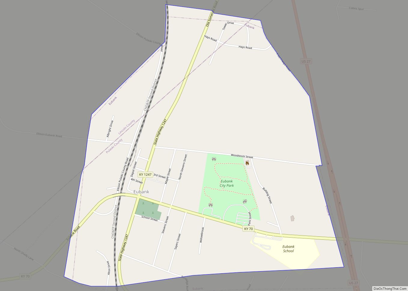
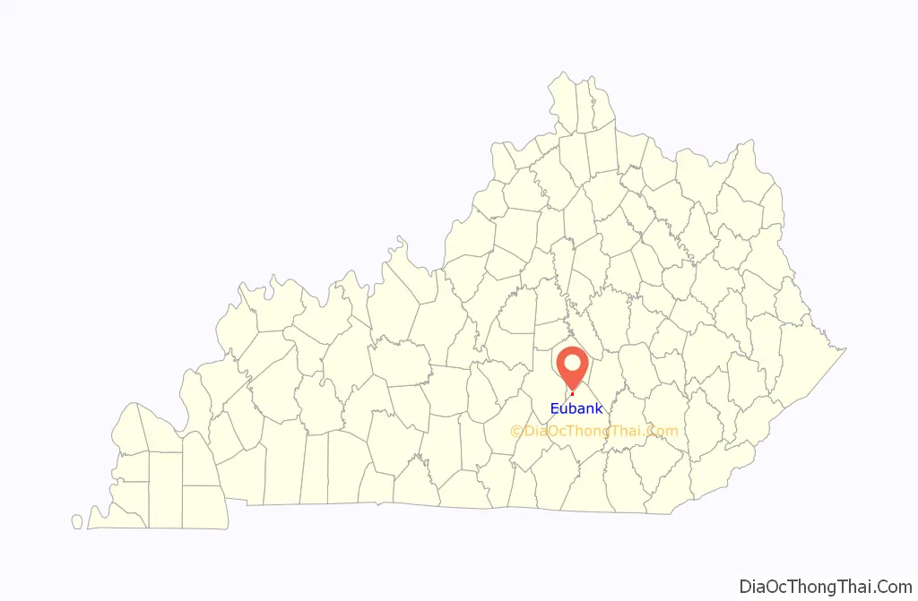
Eubank is a home rule-class city in Pulaski and Lincoln counties in southern Kentucky. The population was 319 at the 2010 census.
The Pulaski County portion of Eubank is part of the Somerset Micropolitan Statistical Area, while the Lincoln County portion is part of the Danville Micropolitan Statistical Area. Eubank is the current home of former Detroit Tigers outfielder Josh Anderson and Miss America 1944, Venus Ramey.
| Name: | Eubank city |
|---|---|
| LSAD Code: | 25 |
| LSAD Description: | city (suffix) |
| State: | Kentucky |
| County: | Lincoln County, Pulaski County |
| Elevation: | 1,204 ft (367 m) |
| Total Area: | 0.85 sq mi (2.21 km²) |
| Land Area: | 0.85 sq mi (2.19 km²) |
| Water Area: | 0.01 sq mi (0.01 km²) |
| Total Population: | 313 |
| Population Density: | 369.54/sq mi (142.65/km²) |
| ZIP code: | 42567 |
| Area code: | 606 |
| FIPS code: | 2125552 |
| GNISfeature ID: | 0491823 |
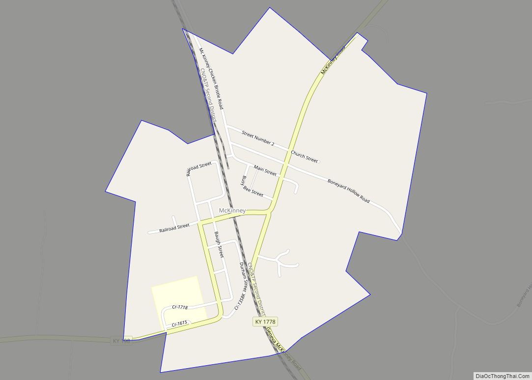
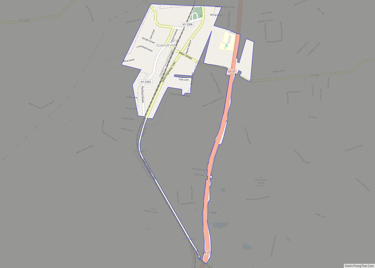
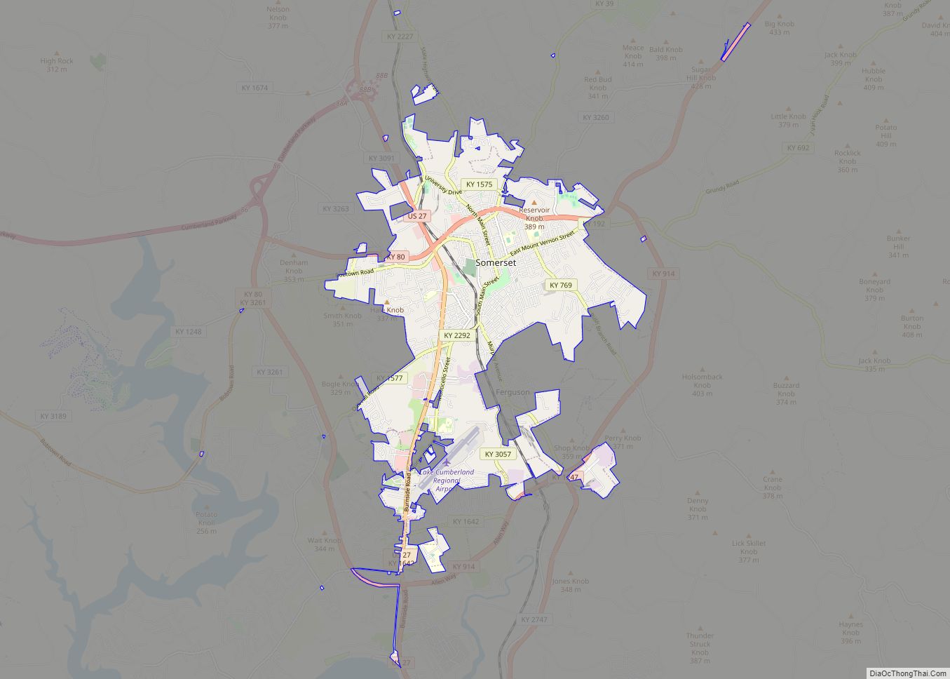
Online Interactive Map
Click on ![]() to view map in "full screen" mode.
to view map in "full screen" mode.
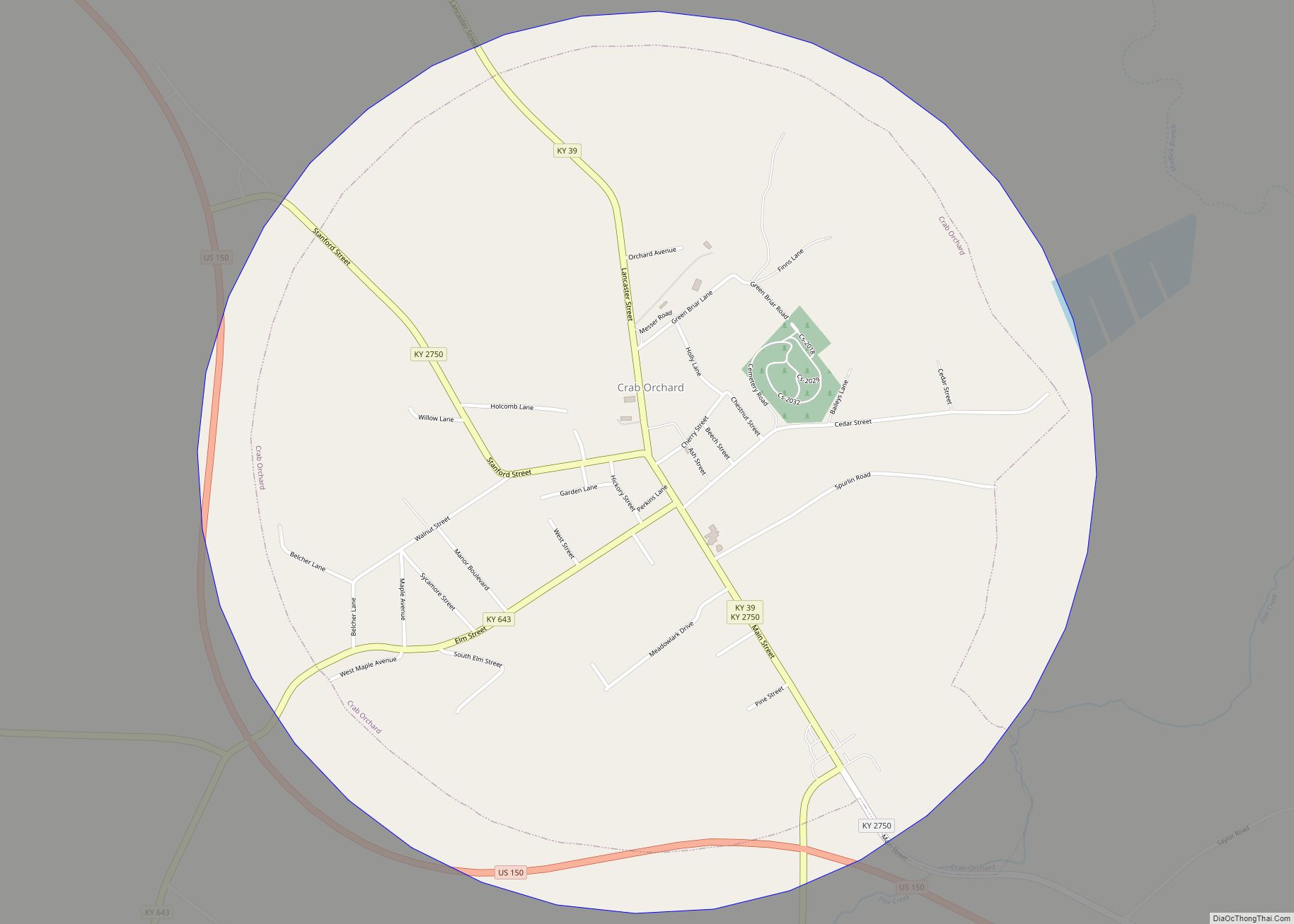
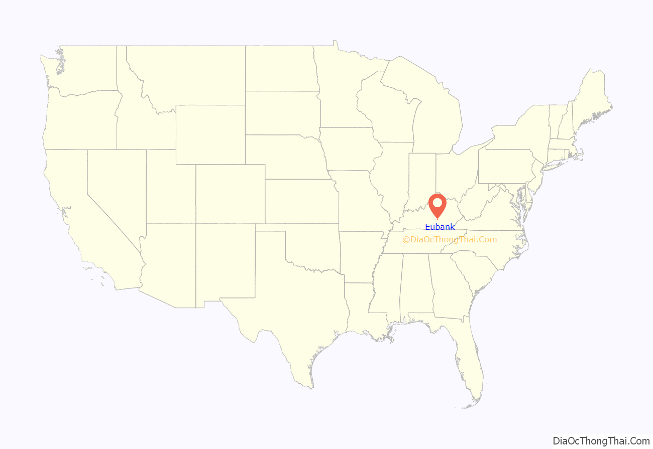
Eubank location map. Where is Eubank city?
History
The town was named for landowner Wesley Eubank and was a stop on the Cincinnati Southern Railroad. It was incorporated by the state assembly in 1886 and is also known as “Eubanks”.
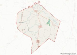
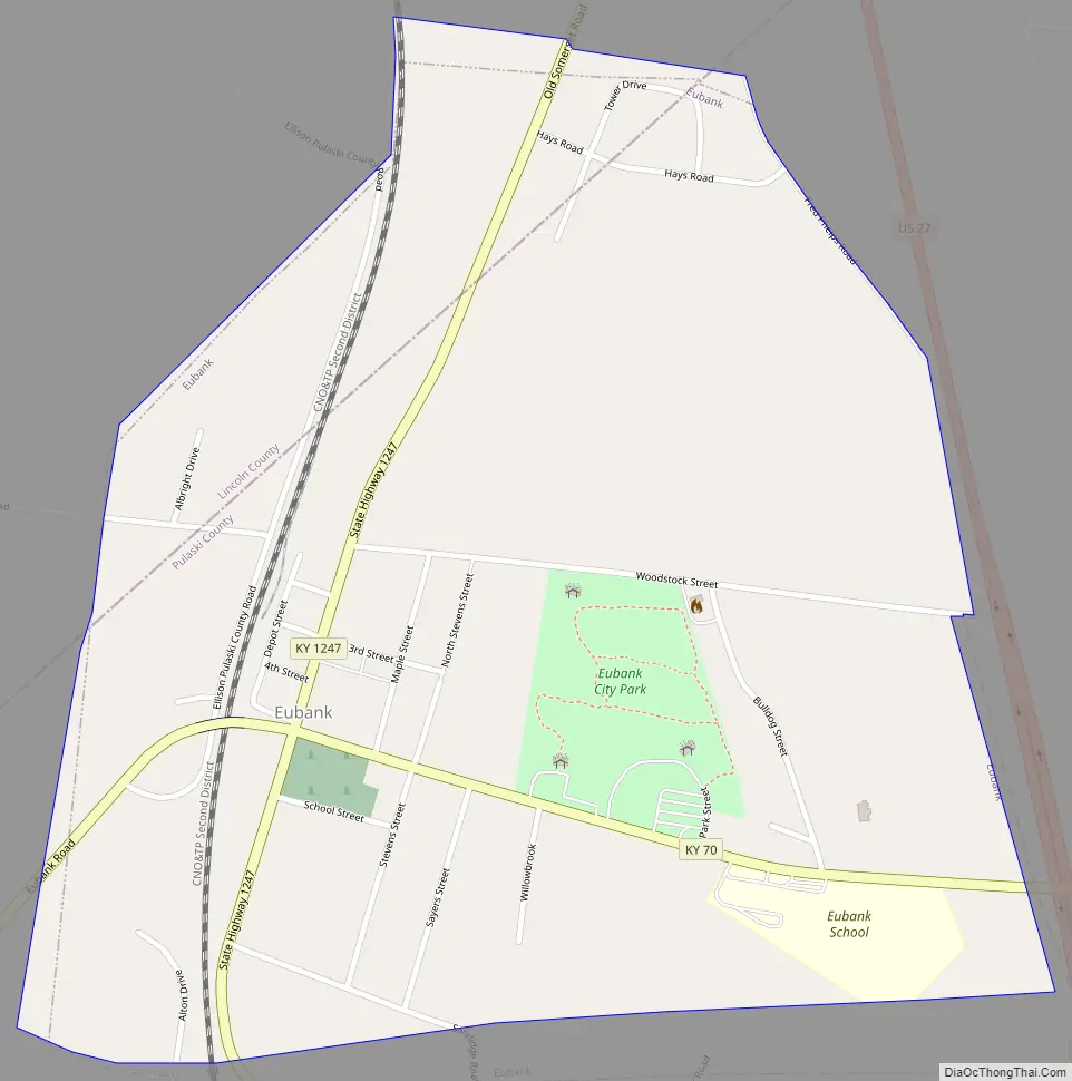
Eubank Road Map
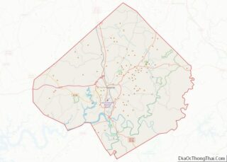
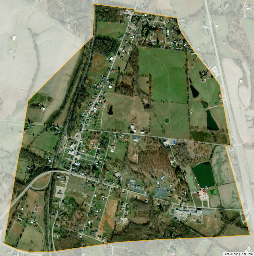
Eubank city Satellite Map
Geography
Eubank is located in northern Pulaski County at 37°16′48″N 84°39′26″W / 37.28000°N 84.65722°W / 37.28000; -84.65722 (37.279992, -84.657100). A small portion extends north into Lincoln County. The city is concentrated around the intersection of Kentucky Route 1247 and Kentucky Route 70. U.S. Route 27 passes along the city’s eastern border, leading south 14 miles (23 km) to Somerset, the Pulaski county seat, and north 18 miles (29 km) to Stanford, the Lincoln county seat. KY 70 leads east 23 miles (37 km) to Mount Vernon and west 24 miles (39 km) to Liberty.
According to the United States Census Bureau, Eubank has a total area of 0.85 square miles (2.2 km), of which 2.47 acres (0.01 km), or 0.63%, are water.
See also
Map of Kentucky State and its subdivision:- Adair
- Allen
- Anderson
- Ballard
- Barren
- Bath
- Bell
- Boone
- Bourbon
- Boyd
- Boyle
- Bracken
- Breathitt
- Breckinridge
- Bullitt
- Butler
- Caldwell
- Calloway
- Campbell
- Carlisle
- Carroll
- Carter
- Casey
- Christian
- Clark
- Clay
- Clinton
- Crittenden
- Cumberland
- Daviess
- Edmonson
- Elliott
- Estill
- Fayette
- Fleming
- Floyd
- Franklin
- Fulton
- Gallatin
- Garrard
- Grant
- Graves
- Grayson
- Green
- Greenup
- Hancock
- Hardin
- Harlan
- Harrison
- Hart
- Henderson
- Henry
- Hickman
- Hopkins
- Jackson
- Jefferson
- Jessamine
- Johnson
- Kenton
- Knott
- Knox
- Larue
- Laurel
- Lawrence
- Lee
- Leslie
- Letcher
- Lewis
- Lincoln
- Livingston
- Logan
- Lyon
- Madison
- Magoffin
- Marion
- Marshall
- Martin
- Mason
- McCracken
- McCreary
- McLean
- Meade
- Menifee
- Mercer
- Metcalfe
- Monroe
- Montgomery
- Morgan
- Muhlenberg
- Nelson
- Nicholas
- Ohio
- Oldham
- Owen
- Owsley
- Pendleton
- Perry
- Pike
- Powell
- Pulaski
- Robertson
- Rockcastle
- Rowan
- Russell
- Scott
- Shelby
- Simpson
- Spencer
- Taylor
- Todd
- Trigg
- Trimble
- Union
- Warren
- Washington
- Wayne
- Webster
- Whitley
- Wolfe
- Woodford
- Alabama
- Alaska
- Arizona
- Arkansas
- California
- Colorado
- Connecticut
- Delaware
- District of Columbia
- Florida
- Georgia
- Hawaii
- Idaho
- Illinois
- Indiana
- Iowa
- Kansas
- Kentucky
- Louisiana
- Maine
- Maryland
- Massachusetts
- Michigan
- Minnesota
- Mississippi
- Missouri
- Montana
- Nebraska
- Nevada
- New Hampshire
- New Jersey
- New Mexico
- New York
- North Carolina
- North Dakota
- Ohio
- Oklahoma
- Oregon
- Pennsylvania
- Rhode Island
- South Carolina
- South Dakota
- Tennessee
- Texas
- Utah
- Vermont
- Virginia
- Washington
- West Virginia
- Wisconsin
- Wyoming