Summer Shade is an unincorporated community and census-designated place (CDP) in Metcalfe County, Kentucky, United States. As of the 2020 census, the population was 294.
| Name: | Summer Shade CDP |
|---|---|
| LSAD Code: | 57 |
| LSAD Description: | CDP (suffix) |
| State: | Kentucky |
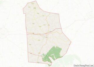
| County: | Metcalfe County |
| Elevation: | 896 ft (273 m) |
| Total Area: | 2.04 sq mi (5.28 km²) |
| Land Area: | 2.03 sq mi (5.27 km²) |
| Water Area: | 0.01 sq mi (0.01 km²) |
| Total Population: | 294 |
| Population Density: | 144.54/sq mi (55.82/km²) |
| ZIP code: | 42166 |
| FIPS code: | 2174586 |
| GNISfeature ID: | 504782 |
Online Interactive Map
Click on ![]() to view map in "full screen" mode.
to view map in "full screen" mode.
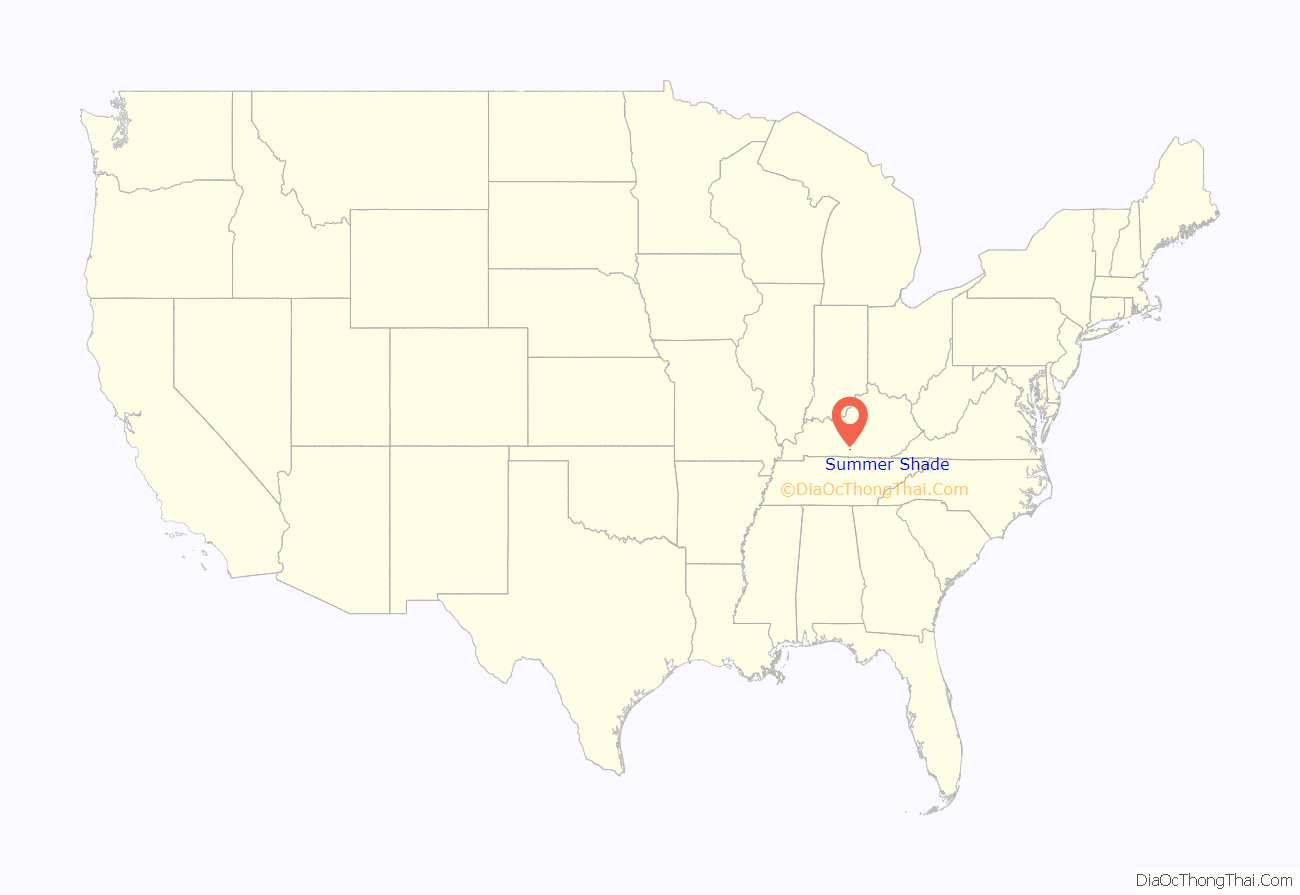
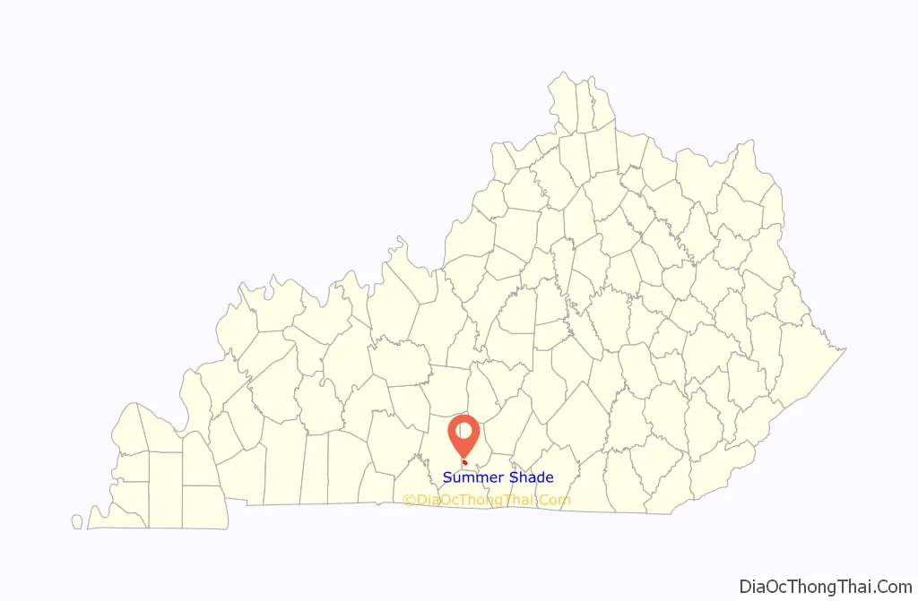
Summer Shade location map. Where is Summer Shade CDP?
History
Originally the area was known as “Sartain Precinct” and later as “Glover’s Creek”; W.M. Riggs, the postmaster, changed the name to Summer Shade in 1872.
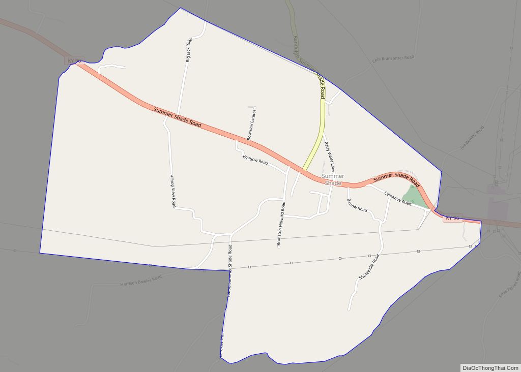
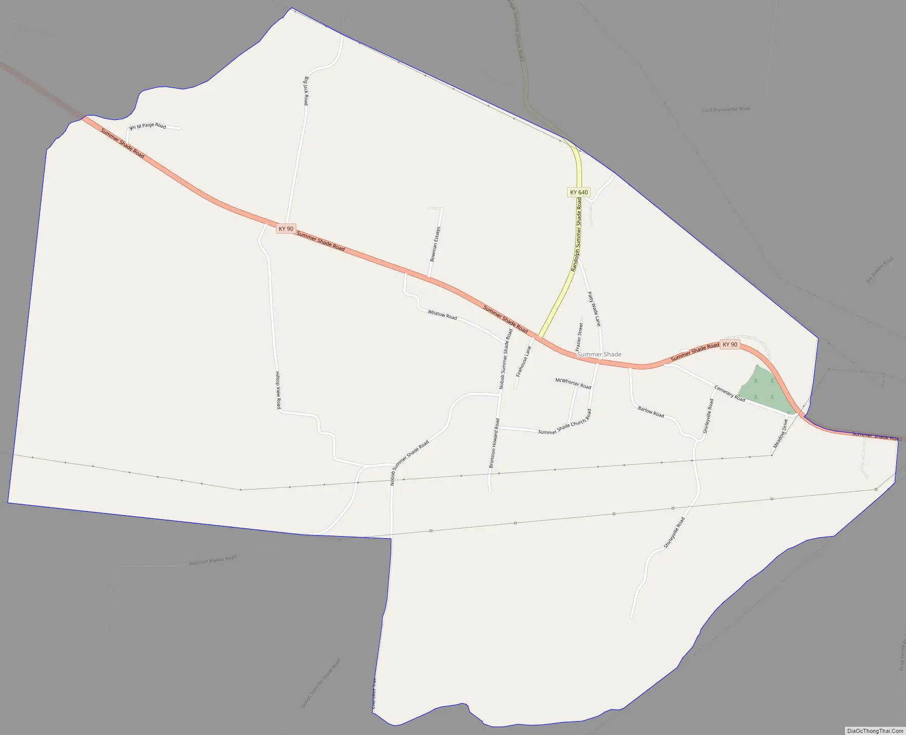
Summer Shade Road Map
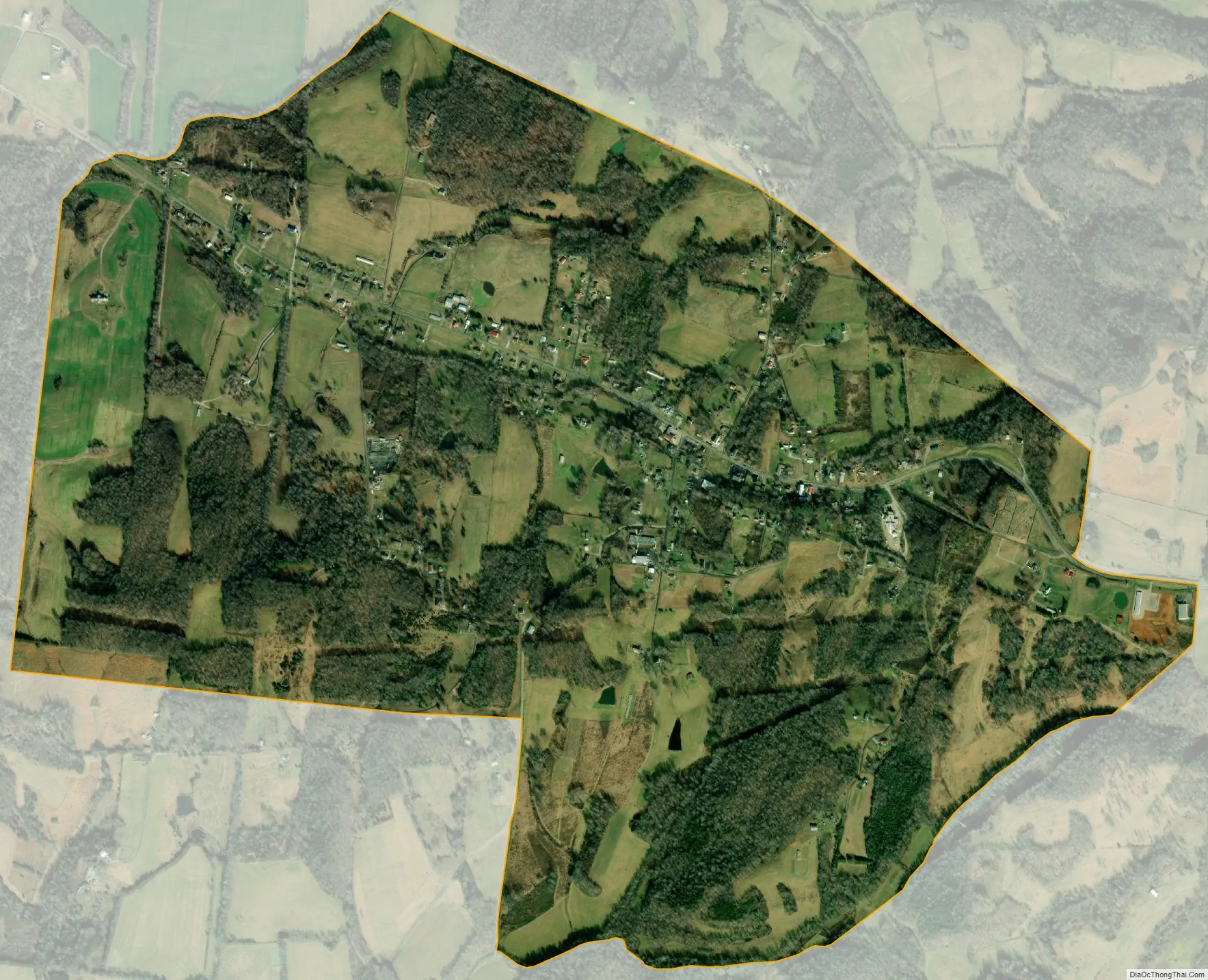
Summer Shade city Satellite Map
Geography
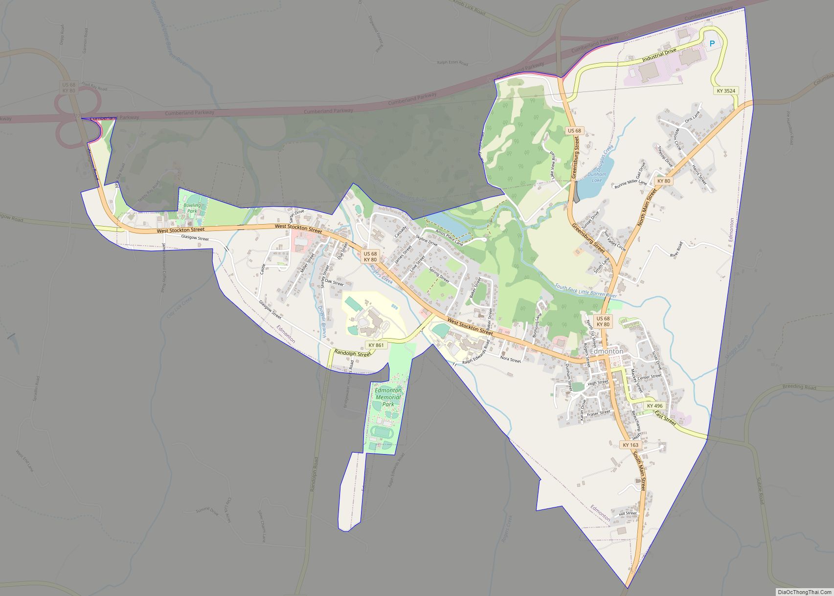
Summer Shade is located in southwestern Metcalfe County. Kentucky Route 90 (KY 90), connecting Glasgow to Burkesville and the Dale Hollow Lake area, runs through Summer Shade. Glasgow is 14 miles (23 km) to the northwest, while Burkesville is 23 miles (37 km) to the southeast. KY 640 leads north from Summer Shade 11 miles (18 km) to Wisdom and 17 miles (27 km) to Knob Lick. KY 163 passes just east of the community, leading north 8 miles (13 km) to Edmonton, the Metcalfe county seat, and south 12 miles (19 km) to Tompkinsville.
According to the U.S. Census Bureau, the Summer Shade CDP has an area of 2.04 square miles (5.3 km), of which 0.005 square miles (0.013 km), or 0.25%, are water. The community sits on a ridge that drains to the west and north to Glover Creek and south to Nobob Creek. Both creeks flow west toward Skaggs Creek, a tributary of the Barren River and part of the Green River watershed.
The rural-dominated area is home to the Kingsford Charcoal factory. Located 2 miles (3 km) east of Summer Shade on KY 90 near Beaumont, it identifies itself as a Summer Shade-based business.
See also
Map of Kentucky State and its subdivision:- Adair
- Allen
- Anderson
- Ballard
- Barren
- Bath
- Bell
- Boone
- Bourbon
- Boyd
- Boyle
- Bracken
- Breathitt
- Breckinridge
- Bullitt
- Butler
- Caldwell
- Calloway
- Campbell
- Carlisle
- Carroll
- Carter
- Casey
- Christian
- Clark
- Clay
- Clinton
- Crittenden
- Cumberland
- Daviess
- Edmonson
- Elliott
- Estill
- Fayette
- Fleming
- Floyd
- Franklin
- Fulton
- Gallatin
- Garrard
- Grant
- Graves
- Grayson
- Green
- Greenup
- Hancock
- Hardin
- Harlan
- Harrison
- Hart
- Henderson
- Henry
- Hickman
- Hopkins
- Jackson
- Jefferson
- Jessamine
- Johnson
- Kenton
- Knott
- Knox
- Larue
- Laurel
- Lawrence
- Lee
- Leslie
- Letcher
- Lewis
- Lincoln
- Livingston
- Logan
- Lyon
- Madison
- Magoffin
- Marion
- Marshall
- Martin
- Mason
- McCracken
- McCreary
- McLean
- Meade
- Menifee
- Mercer
- Metcalfe
- Monroe
- Montgomery
- Morgan
- Muhlenberg
- Nelson
- Nicholas
- Ohio
- Oldham
- Owen
- Owsley
- Pendleton
- Perry
- Pike
- Powell
- Pulaski
- Robertson
- Rockcastle
- Rowan
- Russell
- Scott
- Shelby
- Simpson
- Spencer
- Taylor
- Todd
- Trigg
- Trimble
- Union
- Warren
- Washington
- Wayne
- Webster
- Whitley
- Wolfe
- Woodford
- Alabama
- Alaska
- Arizona
- Arkansas
- California
- Colorado
- Connecticut
- Delaware
- District of Columbia
- Florida
- Georgia
- Hawaii
- Idaho
- Illinois
- Indiana
- Iowa
- Kansas
- Kentucky
- Louisiana
- Maine
- Maryland
- Massachusetts
- Michigan
- Minnesota
- Mississippi
- Missouri
- Montana
- Nebraska
- Nevada
- New Hampshire
- New Jersey
- New Mexico
- New York
- North Carolina
- North Dakota
- Ohio
- Oklahoma
- Oregon
- Pennsylvania
- Rhode Island
- South Carolina
- South Dakota
- Tennessee
- Texas
- Utah
- Vermont
- Virginia
- Washington
- West Virginia
- Wisconsin
- Wyoming