Walton is a home rule-class city in Boone and Kenton counties in the U.S. state of Kentucky. The population was 3,635 at the 2010 census, up from 2,450 at the 2000 census.
| Name: | Walton city |
|---|---|
| LSAD Code: | 25 |
| LSAD Description: | city (suffix) |
| State: | Kentucky |
| County: | Boone County, Kenton County |
| Elevation: | 928 ft (283 m) |
| Total Area: | 4.76 sq mi (12.33 km²) |
| Land Area: | 4.74 sq mi (12.28 km²) |
| Water Area: | 0.02 sq mi (0.06 km²) |
| Total Population: | 5,460 |
| Population Density: | 1,151.90/sq mi (444.71/km²) |
| ZIP code: | 41094 |
| Area code: | 859 |
| FIPS code: | 2180490 |
| GNISfeature ID: | 0509314 |
| Website: | www.cityofwalton.org |
Online Interactive Map
Click on ![]() to view map in "full screen" mode.
to view map in "full screen" mode.
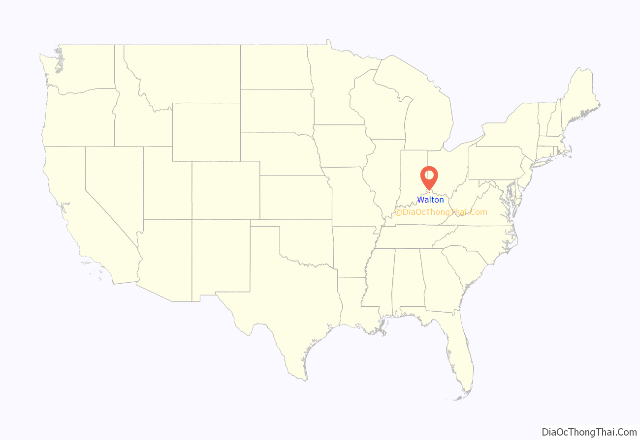
Walton location map. Where is Walton city?
History
Walton was established in 1840. The railroad was extended to Walton in 1869, prompting growth.
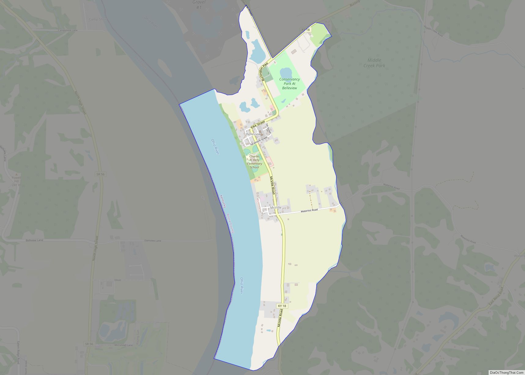
Walton Road Map
Walton city Satellite Map
Geography
Walton is located in southeastern Boone County and extends slightly into southwestern Kenton County. U.S. Route 25 (Main Street) runs through the center of the city, and Interstates 75 and 71 diverge just west of the city limits. Access to the city from I-75 is via exit 171 (Kentucky Routes 14 and 16). Downtown Cincinnati is 21 miles (34 km) to the north, Lexington is 64 miles (103 km) south via I-75, and Louisville is 82 miles (132 km) to the southwest via I-71. Walton is the highest point between Cincinnati and Louisville.
According to the United States Census Bureau, Walton has a total area of 4.3 square miles (11.1 km), of which 0.019 square miles (0.05 km), or 0.41%, is water.
See also
Map of Kentucky State and its subdivision:- Adair
- Allen
- Anderson
- Ballard
- Barren
- Bath
- Bell
- Boone
- Bourbon
- Boyd
- Boyle
- Bracken
- Breathitt
- Breckinridge
- Bullitt
- Butler
- Caldwell
- Calloway
- Campbell
- Carlisle
- Carroll
- Carter
- Casey
- Christian
- Clark
- Clay
- Clinton
- Crittenden
- Cumberland
- Daviess
- Edmonson
- Elliott
- Estill
- Fayette
- Fleming
- Floyd
- Franklin
- Fulton
- Gallatin
- Garrard
- Grant
- Graves
- Grayson
- Green
- Greenup
- Hancock
- Hardin
- Harlan
- Harrison
- Hart
- Henderson
- Henry
- Hickman
- Hopkins
- Jackson
- Jefferson
- Jessamine
- Johnson
- Kenton
- Knott
- Knox
- Larue
- Laurel
- Lawrence
- Lee
- Leslie
- Letcher
- Lewis
- Lincoln
- Livingston
- Logan
- Lyon
- Madison
- Magoffin
- Marion
- Marshall
- Martin
- Mason
- McCracken
- McCreary
- McLean
- Meade
- Menifee
- Mercer
- Metcalfe
- Monroe
- Montgomery
- Morgan
- Muhlenberg
- Nelson
- Nicholas
- Ohio
- Oldham
- Owen
- Owsley
- Pendleton
- Perry
- Pike
- Powell
- Pulaski
- Robertson
- Rockcastle
- Rowan
- Russell
- Scott
- Shelby
- Simpson
- Spencer
- Taylor
- Todd
- Trigg
- Trimble
- Union
- Warren
- Washington
- Wayne
- Webster
- Whitley
- Wolfe
- Woodford
- Alabama
- Alaska
- Arizona
- Arkansas
- California
- Colorado
- Connecticut
- Delaware
- District of Columbia
- Florida
- Georgia
- Hawaii
- Idaho
- Illinois
- Indiana
- Iowa
- Kansas
- Kentucky
- Louisiana
- Maine
- Maryland
- Massachusetts
- Michigan
- Minnesota
- Mississippi
- Missouri
- Montana
- Nebraska
- Nevada
- New Hampshire
- New Jersey
- New Mexico
- New York
- North Carolina
- North Dakota
- Ohio
- Oklahoma
- Oregon
- Pennsylvania
- Rhode Island
- South Carolina
- South Dakota
- Tennessee
- Texas
- Utah
- Vermont
- Virginia
- Washington
- West Virginia
- Wisconsin
- Wyoming
