White Plains is a home rule-class city in Hopkins County, Kentucky, United States. The population was 884 at the 2010 census, up from 800 at the 2000 census.
| Name: | White Plains city |
|---|---|
| LSAD Code: | 25 |
| LSAD Description: | city (suffix) |
| State: | Kentucky |
| County: | Hopkins County |
| Elevation: | 417 ft (127 m) |
| Total Area: | 3.33 sq mi (8.62 km²) |
| Land Area: | 3.25 sq mi (8.42 km²) |
| Water Area: | 0.08 sq mi (0.20 km²) |
| Total Population: | 829 |
| Population Density: | 254.92/sq mi (98.41/km²) |
| ZIP code: | 42464 |
| Area code: | 270 & 364 |
| FIPS code: | 2182722 |
| GNISfeature ID: | 0506635 |
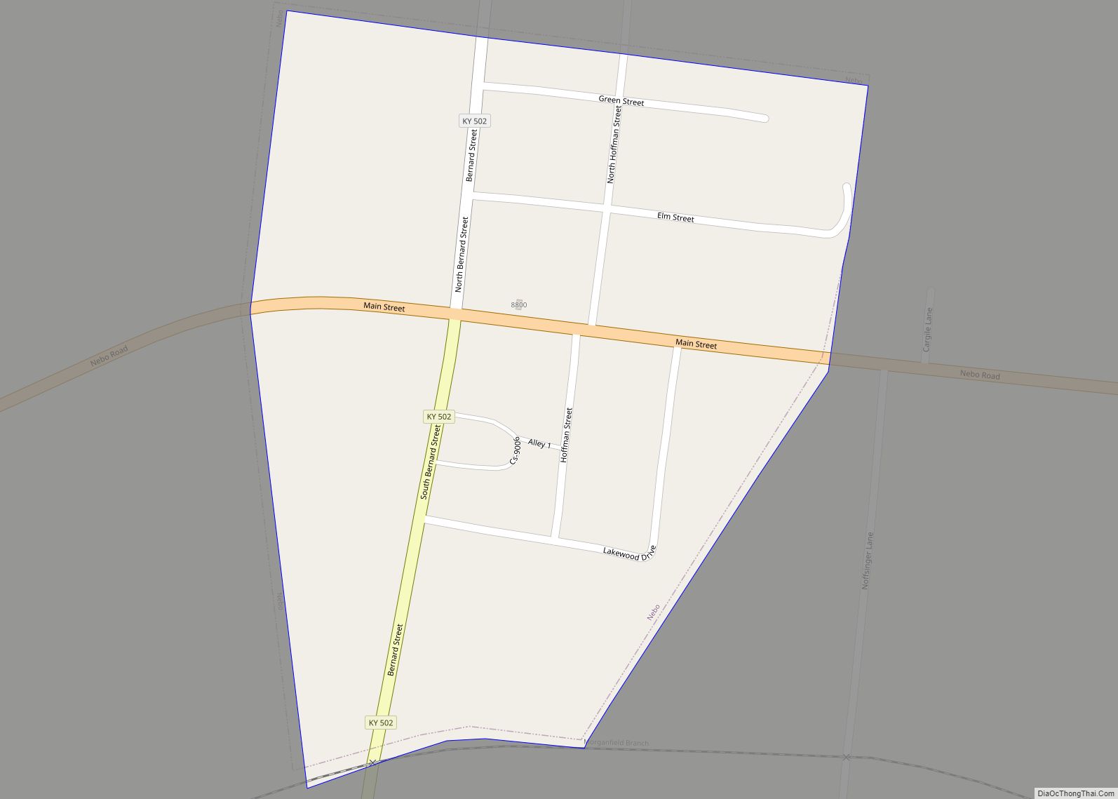
Online Interactive Map
Click on ![]() to view map in "full screen" mode.
to view map in "full screen" mode.
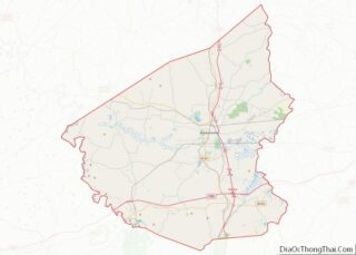
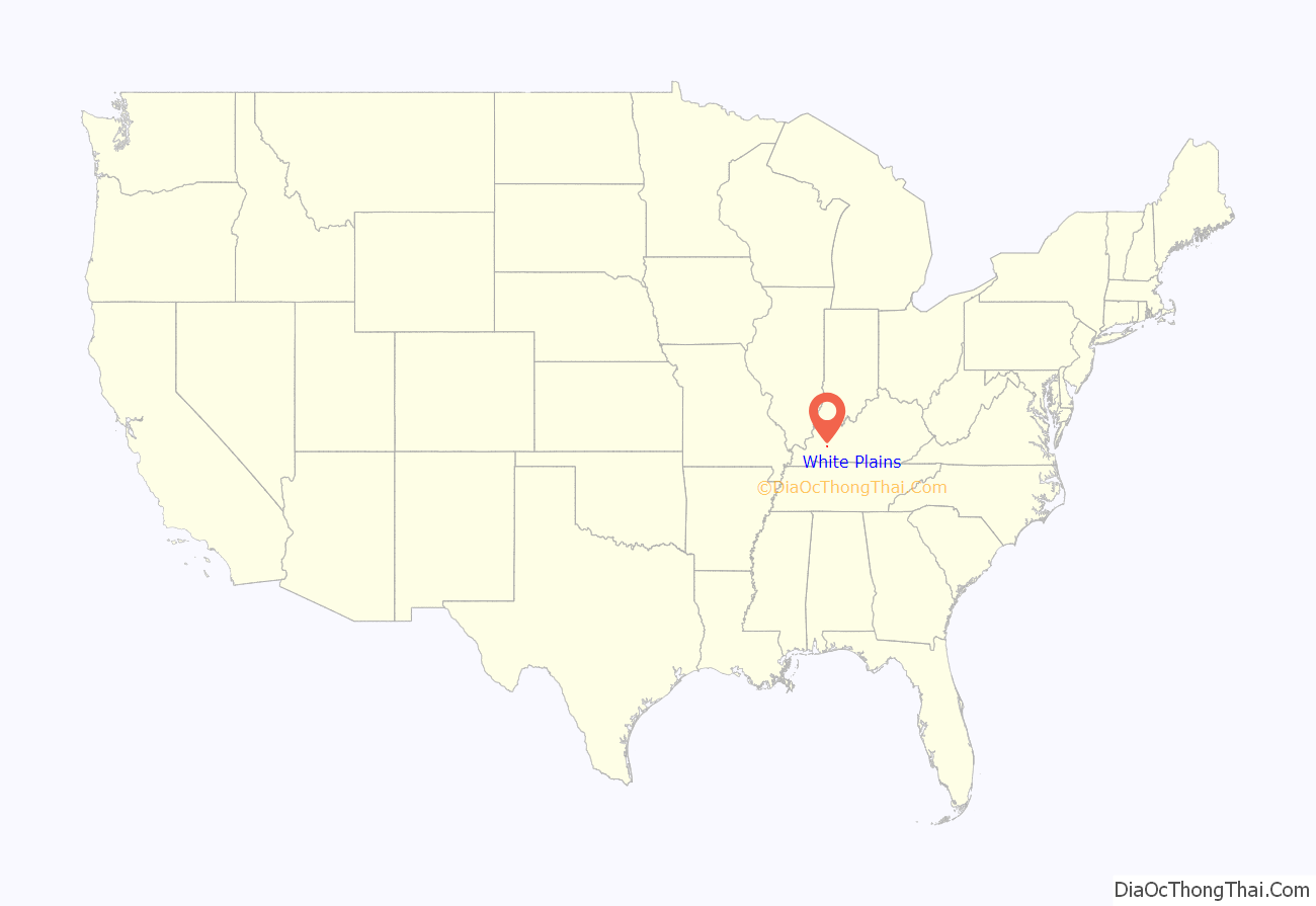
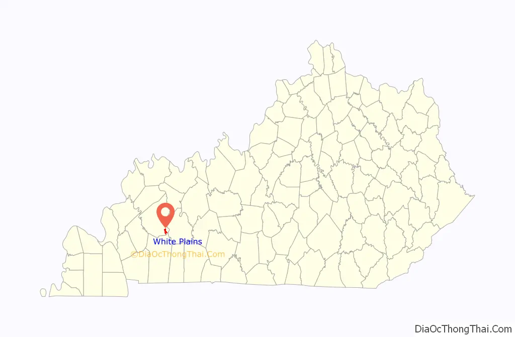
White Plains location map. Where is White Plains city?
History
White Plains was established in 1853, and was originally known as “Little Prairie.” With the arrival of the railroad in 1870, Little Prairie became the shipping point for a community then known as “White Plains” (modern Fruit Hill) further to the south in Christian County, and thus became known as “White Plains Station,” or “New White Plains.” When the postmaster of the Christian County community renamed it “Fruit Hill,” the “New” was dropped from the name of the Hopkins County city.
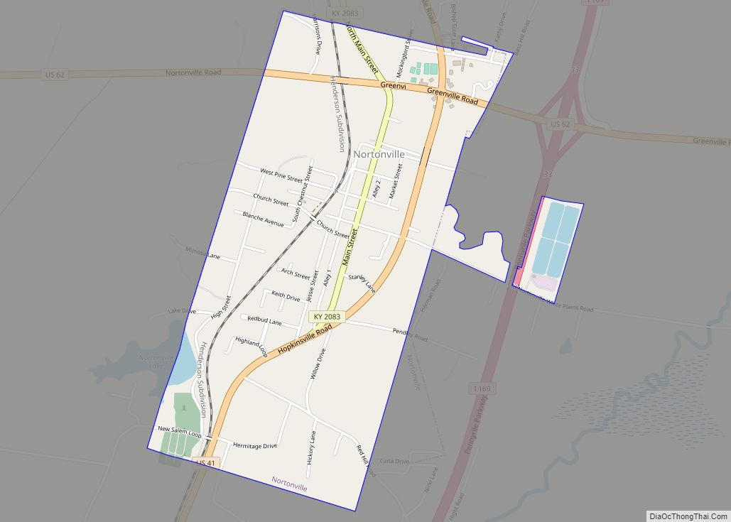
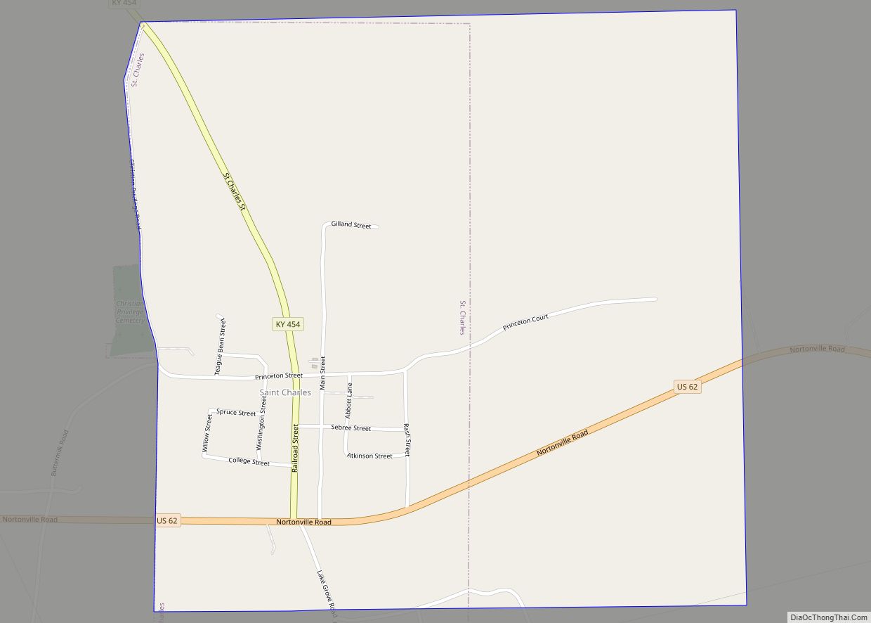
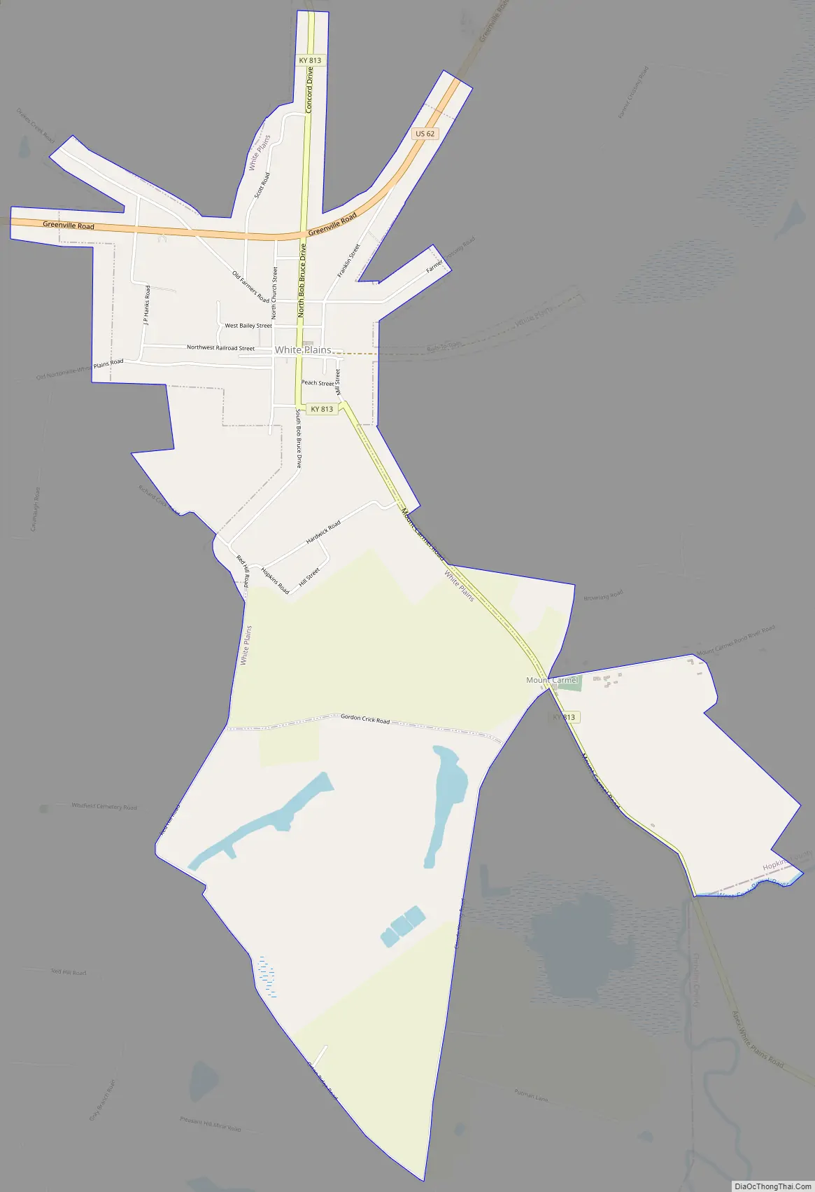
White Plains Road Map
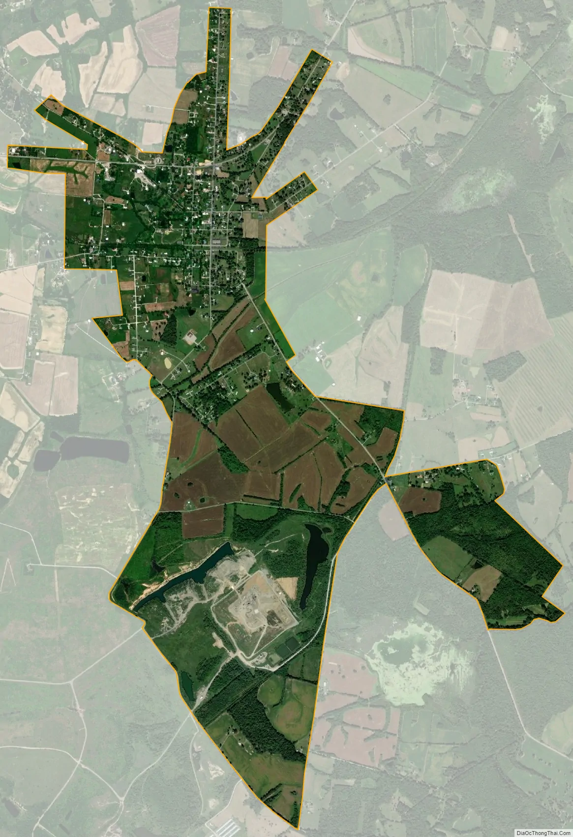
White Plains city Satellite Map
Geography
White Plains is located in southeastern Hopkins County at 37°11′4″N 87°23′5″W / 37.18444°N 87.38472°W / 37.18444; -87.38472 (37.184489, -87.384739). U.S. Route 62 passes through the northern part of the community, leading east 13 miles (21 km) to Greenville and west 4 miles (6 km) to Nortonville.
According to the United States Census Bureau, White Plains has a total area of 3.18 square miles (8.24 km), of which 3.11 square miles (8.05 km) are land and 0.07 square miles (0.19 km), or 2.34%, are water.
See also
Map of Kentucky State and its subdivision:- Adair
- Allen
- Anderson
- Ballard
- Barren
- Bath
- Bell
- Boone
- Bourbon
- Boyd
- Boyle
- Bracken
- Breathitt
- Breckinridge
- Bullitt
- Butler
- Caldwell
- Calloway
- Campbell
- Carlisle
- Carroll
- Carter
- Casey
- Christian
- Clark
- Clay
- Clinton
- Crittenden
- Cumberland
- Daviess
- Edmonson
- Elliott
- Estill
- Fayette
- Fleming
- Floyd
- Franklin
- Fulton
- Gallatin
- Garrard
- Grant
- Graves
- Grayson
- Green
- Greenup
- Hancock
- Hardin
- Harlan
- Harrison
- Hart
- Henderson
- Henry
- Hickman
- Hopkins
- Jackson
- Jefferson
- Jessamine
- Johnson
- Kenton
- Knott
- Knox
- Larue
- Laurel
- Lawrence
- Lee
- Leslie
- Letcher
- Lewis
- Lincoln
- Livingston
- Logan
- Lyon
- Madison
- Magoffin
- Marion
- Marshall
- Martin
- Mason
- McCracken
- McCreary
- McLean
- Meade
- Menifee
- Mercer
- Metcalfe
- Monroe
- Montgomery
- Morgan
- Muhlenberg
- Nelson
- Nicholas
- Ohio
- Oldham
- Owen
- Owsley
- Pendleton
- Perry
- Pike
- Powell
- Pulaski
- Robertson
- Rockcastle
- Rowan
- Russell
- Scott
- Shelby
- Simpson
- Spencer
- Taylor
- Todd
- Trigg
- Trimble
- Union
- Warren
- Washington
- Wayne
- Webster
- Whitley
- Wolfe
- Woodford
- Alabama
- Alaska
- Arizona
- Arkansas
- California
- Colorado
- Connecticut
- Delaware
- District of Columbia
- Florida
- Georgia
- Hawaii
- Idaho
- Illinois
- Indiana
- Iowa
- Kansas
- Kentucky
- Louisiana
- Maine
- Maryland
- Massachusetts
- Michigan
- Minnesota
- Mississippi
- Missouri
- Montana
- Nebraska
- Nevada
- New Hampshire
- New Jersey
- New Mexico
- New York
- North Carolina
- North Dakota
- Ohio
- Oklahoma
- Oregon
- Pennsylvania
- Rhode Island
- South Carolina
- South Dakota
- Tennessee
- Texas
- Utah
- Vermont
- Virginia
- Washington
- West Virginia
- Wisconsin
- Wyoming