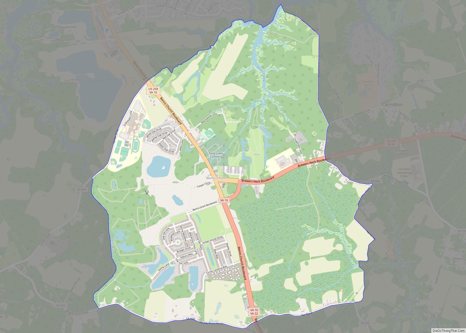
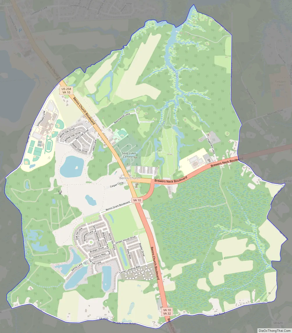
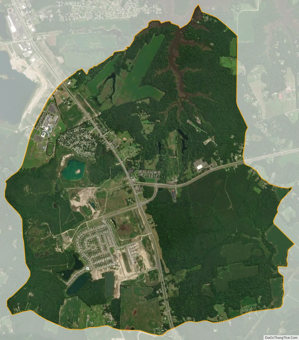
Benns Church is a census-designated place (CDP) in Isle of Wight County, Virginia, United States. It is located at the junction of U.S. Route 258 and State Routes 10 and 32, southeast of Smithfield. The population as of the 2010 census was 872.
The community is named for Benn’s United Methodist Church, which lies at the intersection of Benn’s Church Boulevard and Brewer’s Neck Boulevard (US-258 with State Routes 10 and 32). The church was founded at that location by George Benn in 1789. Benn is buried in front of the church. The church bears a Virginia Historical Marker.
Benns Church is home to Benn’s Grant, a 253-acre (102 ha) mixed-use development, which took almost a decade to be realized.
| Name: | Benns Church CDP |
|---|---|
| LSAD Code: | 57 |
| LSAD Description: | CDP (suffix) |
| State: | Virginia |
| County: | Isle of Wight County |
| Elevation: | 43 ft (13 m) |
| Total Area: | 4.2 sq mi (11 km²) |
| Land Area: | 4.1 sq mi (11 km²) |
| Water Area: | 0.08 sq mi (0.2 km²) |
| Total Population: | 872 |
| Population Density: | 210/sq mi (80/km²) |
| FIPS code: | 5106712 |
| GNISfeature ID: | 2584808 |
Online Interactive Map
Click on ![]() to view map in "full screen" mode.
to view map in "full screen" mode.
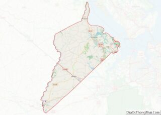
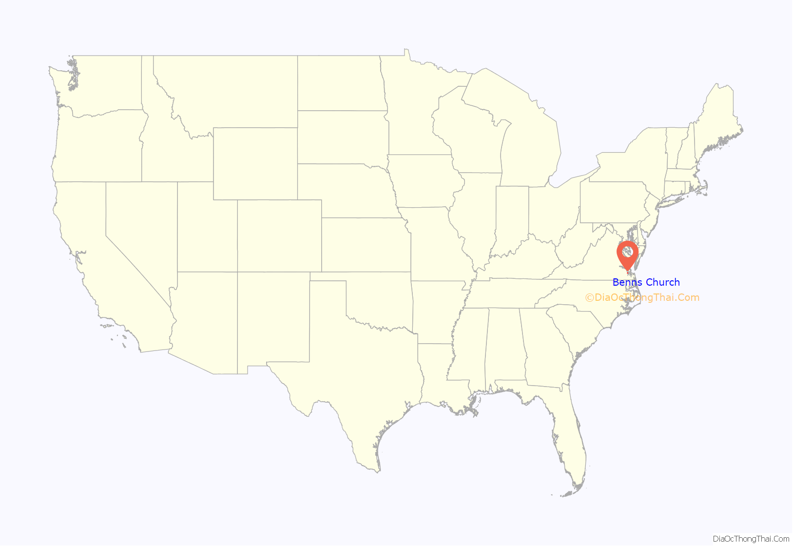
Benns Church location map. Where is Benns Church CDP?
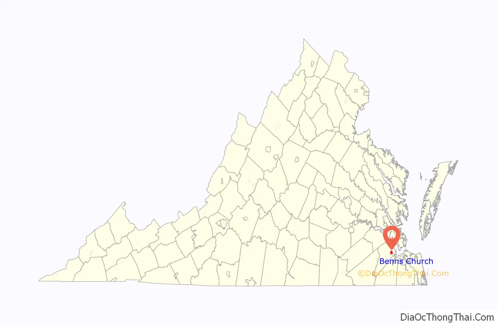
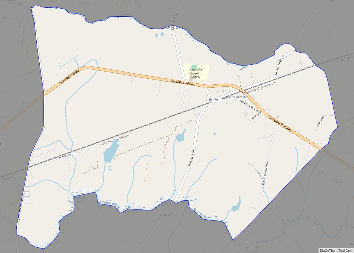
Benns Church Road Map
Benns Church city Satellite Map
Geography
Benns Church is bordered to the north by the town of Smithfield and to the east by Carrollton. Hampton is 17 miles (27 km) east of Benns Church, across the James River, while Norfolk is 24 miles (39 km) to the southeast, and Suffolk is 16 miles (26 km) to the south.
According to the U.S. Census Bureau, the Benns Church CDP has a total area of 4.2 square miles (10.8 km), of which 4.1 square miles (10.6 km) are land and 0.1 square miles (0.2 km), or 1.92%, are water. The community drains westward to Cypress Creek, north to Jones Creek, and southeast to Brewers Creek, all of which become tidal inlets of the James River system.
See also
Map of Virginia State and its subdivision:- Accomack
- Albemarle
- Alexandria
- Alleghany
- Amelia
- Amherst
- Appomattox
- Arlington
- Augusta
- Bath
- Bedford
- Bedford City
- Bland
- Botetourt
- Bristol
- Brunswick
- Buchanan
- Buckingham
- Buena Vista
- Campbell
- Caroline
- Carroll
- Charles City
- Charlotte
- Charlottesville
- Chesapeake
- Chesterfield
- Clarke
- Clifton Forge City
- Colonial Heights
- Covington
- Craig
- Culpeper
- Cumberland
- Danville
- Dickenson
- Dinwiddie
- Emporia
- Essex
- Fairfax
- Fairfax City
- Falls Church
- Fauquier
- Floyd
- Fluvanna
- Franklin
- Frederick
- Fredericksburg
- Galax
- Giles
- Gloucester
- Goochland
- Grayson
- Greene
- Greensville
- Halifax
- Hampton
- Hanover
- Harrisonburg
- Henrico
- Henry
- Highland
- Hopewell
- Isle of Wight
- James City
- King and Queen
- King George
- King William
- Lancaster
- Lee
- Lexington
- Loudoun
- Louisa
- Lunenburg
- Lynchburg
- Madison
- Manassas
- Manassas Park
- Martinsville
- Mathews
- Mecklenburg
- Middlesex
- Montgomery
- Nelson
- New Kent
- Newport News
- Norfolk
- Northampton
- Northumberland
- Norton
- Nottoway
- Orange
- Page
- Patrick
- Petersburg
- Pittsylvania
- Poquoson
- Portsmouth
- Powhatan
- Prince Edward
- Prince George
- Prince William
- Pulaski
- Radford
- Rappahannock
- Richmond
- Roanoke
- Roanoke City
- Rockbridge
- Rockingham
- Russell
- Salem
- Scott
- Shenandoah
- Smyth
- Southampton
- Spotsylvania
- Stafford
- Staunton
- Suffolk
- Surry
- Sussex
- Tazewell
- Virginia Beach
- Warren
- Washington
- Waynesboro
- Westmoreland
- Williamsburg
- Winchester
- Wise
- Wythe
- York
- Alabama
- Alaska
- Arizona
- Arkansas
- California
- Colorado
- Connecticut
- Delaware
- District of Columbia
- Florida
- Georgia
- Hawaii
- Idaho
- Illinois
- Indiana
- Iowa
- Kansas
- Kentucky
- Louisiana
- Maine
- Maryland
- Massachusetts
- Michigan
- Minnesota
- Mississippi
- Missouri
- Montana
- Nebraska
- Nevada
- New Hampshire
- New Jersey
- New Mexico
- New York
- North Carolina
- North Dakota
- Ohio
- Oklahoma
- Oregon
- Pennsylvania
- Rhode Island
- South Carolina
- South Dakota
- Tennessee
- Texas
- Utah
- Vermont
- Virginia
- Washington
- West Virginia
- Wisconsin
- Wyoming