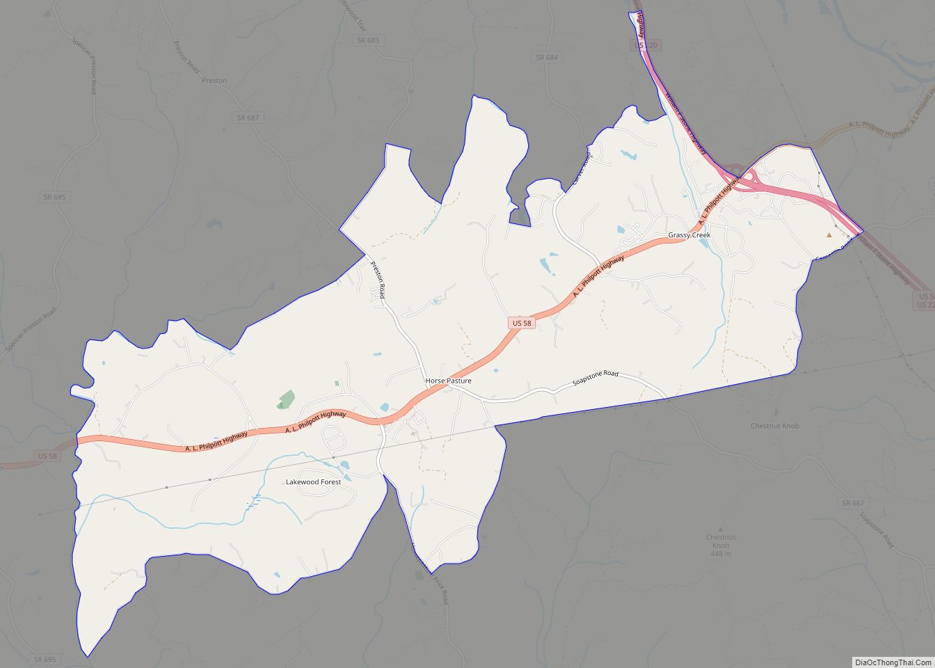
Chatmoss is a census-designated place (CDP) in Henry County, Virginia, United States. The population was 1,698 at the 2010 census, down slightly from the 1,742 reported in 2000. It is part of the Martinsville Micropolitan Statistical Area.
| Name: | Chatmoss CDP |
|---|---|
| LSAD Code: | 57 |
| LSAD Description: | CDP (suffix) |
| State: | Virginia |
| County: | Henry County |
| Elevation: | 646 ft (197 m) |
| Total Area: | 5.4 sq mi (13.9 km²) |
| Land Area: | 5.4 sq mi (13.9 km²) |
| Water Area: | 0.0 sq mi (0.1 km²) |
| Total Population: | 1,698 |
| Population Density: | 310/sq mi (120/km²) |
| FIPS code: | 5115048 |
| GNISfeature ID: | 1495377 |
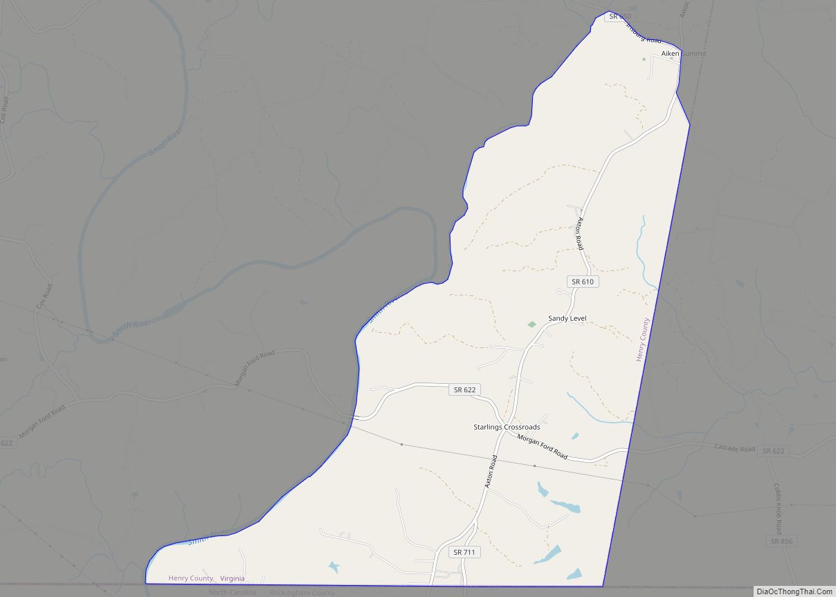
Online Interactive Map
Click on ![]() to view map in "full screen" mode.
to view map in "full screen" mode.
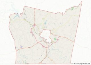
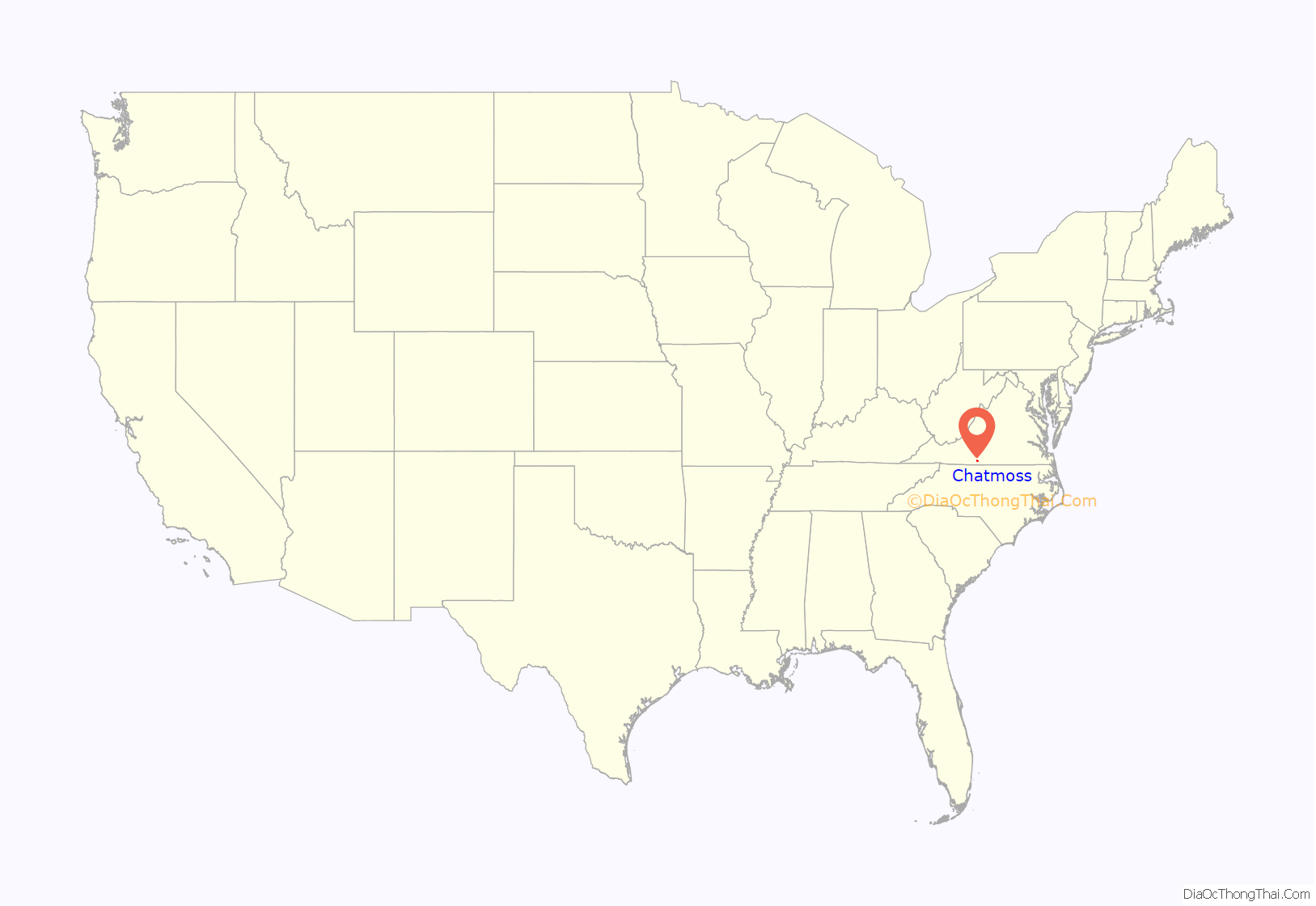
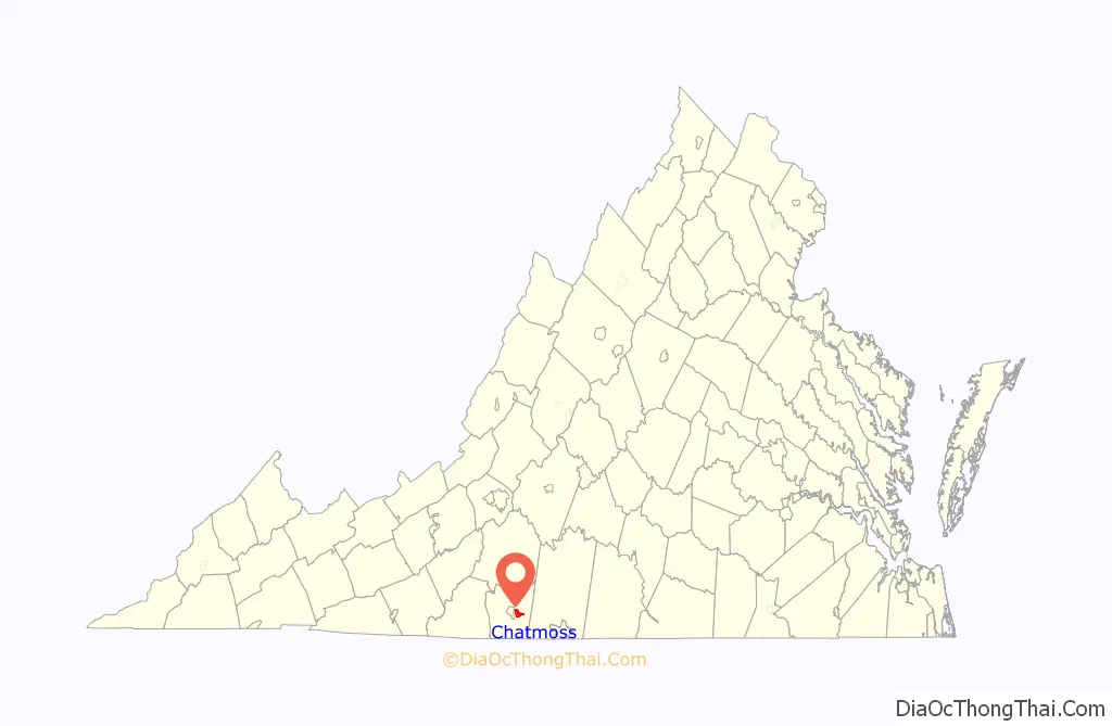
Chatmoss location map. Where is Chatmoss CDP?
History
Chatmoss takes its name from a 2,700-acre (11 km) Hairston family plantation on the site, which was later incorporated into a larger country club building on the site. That name probably derives from “Chat Moss”, a large area of peat bog near Manchester, UK. In turn, that bog may be named after St Chad, or even from the Celtic word ced, meaning wood. Alternatively it may be an Old English personal name and mos, meaning “swamp.” Low-lying areas around Chatmoss were boggy wetlands prone to flooding from Leatherwood Creek before mitigation by several dams.
The Hairston family owned many plantations scattered across the South, including plantations in North Carolina, Tennessee, Mississippi and Virginia. The family’s Henry County plantations included still extant Beaver Creek Plantation and Hordsville, as well as plantations at Marrowbone, Magna Vista, Leatherwood, Camp Branch and Shawnee, which are no longer standing. The Chatmoss property was long owned by Harden Hairston, who inherited it, but it was later sold by a descendant to the developers of the country club on the site.
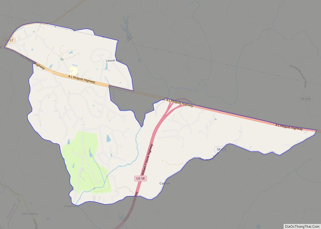
Chatmoss Road Map
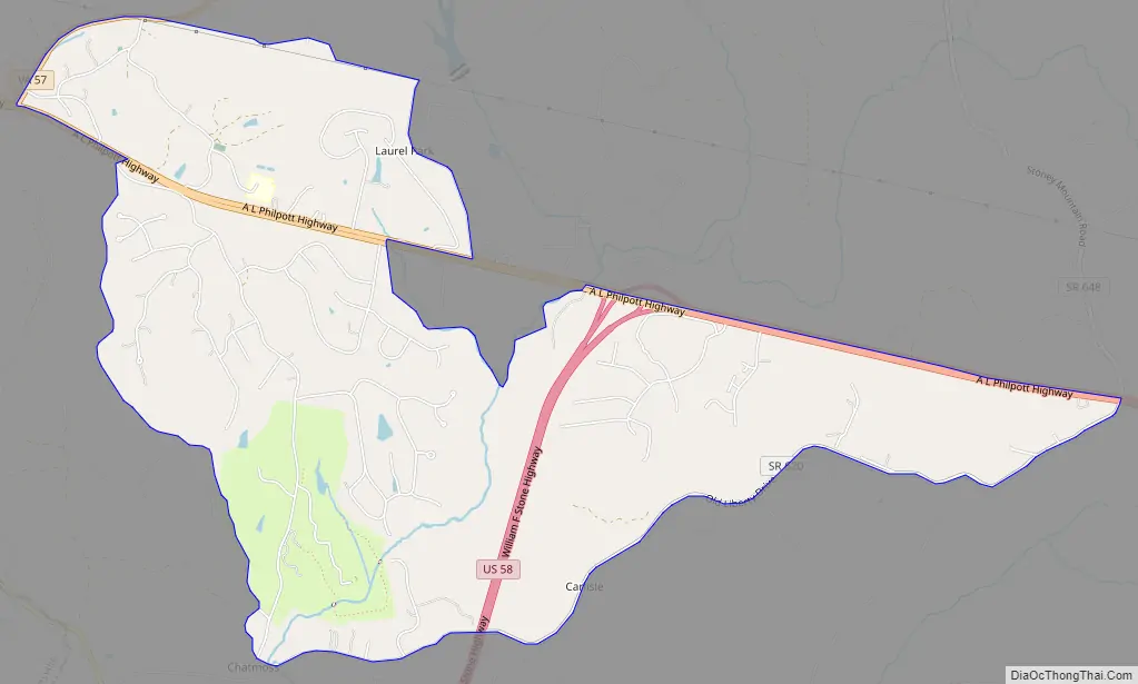
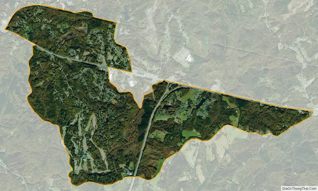
Chatmoss city Satellite Map
Geography
Chatmoss is located at 36°40′47″N 79°48′20″W / 36.67972°N 79.80556°W / 36.67972; -79.80556 (36.679666, −79.805641).
According to the United States Census Bureau, the CDP has a total area of 5.4 square miles (13.9 km), of which, 5.3 square miles (13.9 km) of it is land and 0.04 square miles (0.1 km) of it (0.37%) is water.
See also
Map of Virginia State and its subdivision:- Accomack
- Albemarle
- Alexandria
- Alleghany
- Amelia
- Amherst
- Appomattox
- Arlington
- Augusta
- Bath
- Bedford
- Bedford City
- Bland
- Botetourt
- Bristol
- Brunswick
- Buchanan
- Buckingham
- Buena Vista
- Campbell
- Caroline
- Carroll
- Charles City
- Charlotte
- Charlottesville
- Chesapeake
- Chesterfield
- Clarke
- Clifton Forge City
- Colonial Heights
- Covington
- Craig
- Culpeper
- Cumberland
- Danville
- Dickenson
- Dinwiddie
- Emporia
- Essex
- Fairfax
- Fairfax City
- Falls Church
- Fauquier
- Floyd
- Fluvanna
- Franklin
- Frederick
- Fredericksburg
- Galax
- Giles
- Gloucester
- Goochland
- Grayson
- Greene
- Greensville
- Halifax
- Hampton
- Hanover
- Harrisonburg
- Henrico
- Henry
- Highland
- Hopewell
- Isle of Wight
- James City
- King and Queen
- King George
- King William
- Lancaster
- Lee
- Lexington
- Loudoun
- Louisa
- Lunenburg
- Lynchburg
- Madison
- Manassas
- Manassas Park
- Martinsville
- Mathews
- Mecklenburg
- Middlesex
- Montgomery
- Nelson
- New Kent
- Newport News
- Norfolk
- Northampton
- Northumberland
- Norton
- Nottoway
- Orange
- Page
- Patrick
- Petersburg
- Pittsylvania
- Poquoson
- Portsmouth
- Powhatan
- Prince Edward
- Prince George
- Prince William
- Pulaski
- Radford
- Rappahannock
- Richmond
- Roanoke
- Roanoke City
- Rockbridge
- Rockingham
- Russell
- Salem
- Scott
- Shenandoah
- Smyth
- Southampton
- Spotsylvania
- Stafford
- Staunton
- Suffolk
- Surry
- Sussex
- Tazewell
- Virginia Beach
- Warren
- Washington
- Waynesboro
- Westmoreland
- Williamsburg
- Winchester
- Wise
- Wythe
- York
- Alabama
- Alaska
- Arizona
- Arkansas
- California
- Colorado
- Connecticut
- Delaware
- District of Columbia
- Florida
- Georgia
- Hawaii
- Idaho
- Illinois
- Indiana
- Iowa
- Kansas
- Kentucky
- Louisiana
- Maine
- Maryland
- Massachusetts
- Michigan
- Minnesota
- Mississippi
- Missouri
- Montana
- Nebraska
- Nevada
- New Hampshire
- New Jersey
- New Mexico
- New York
- North Carolina
- North Dakota
- Ohio
- Oklahoma
- Oregon
- Pennsylvania
- Rhode Island
- South Carolina
- South Dakota
- Tennessee
- Texas
- Utah
- Vermont
- Virginia
- Washington
- West Virginia
- Wisconsin
- Wyoming