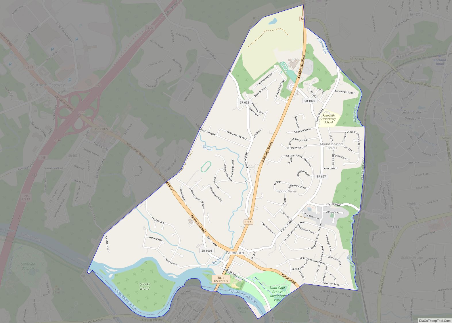
Falmouth is a census-designated place (CDP) in Stafford County, Virginia, United States. Situated on the north bank of the Rappahannock River at the falls, the community is north of and opposite the city of Fredericksburg. Recognized by the U.S. Census Bureau as a census-designated place (CDP), Falmouth’s population was 4,274 as of the 2010 census.
| Name: | Falmouth CDP |
|---|---|
| LSAD Code: | 57 |
| LSAD Description: | CDP (suffix) |
| State: | Virginia |
| County: | Stafford County |
| Elevation: | 56 ft (17 m) |
| Total Area: | 3.2 sq mi (8.4 km²) |
| Land Area: | 3.1 sq mi (8.1 km²) |
| Water Area: | 0.1 sq mi (0.3 km²) |
| Total Population: | 4,274 |
| Population Density: | 1,300/sq mi (510/km²) |
| Area code: | 540 |
| FIPS code: | 5127264 |
| GNISfeature ID: | 1494919 |
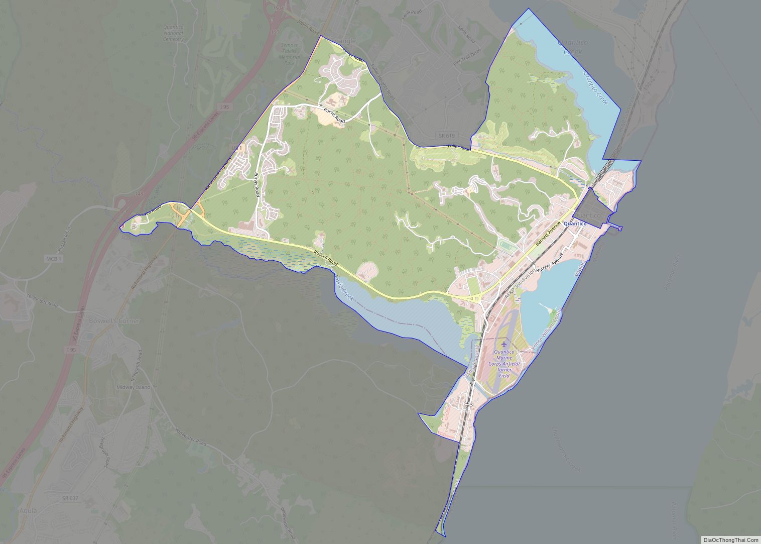
Online Interactive Map
Click on ![]() to view map in "full screen" mode.
to view map in "full screen" mode.
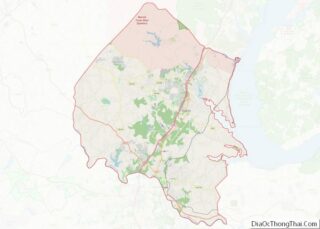
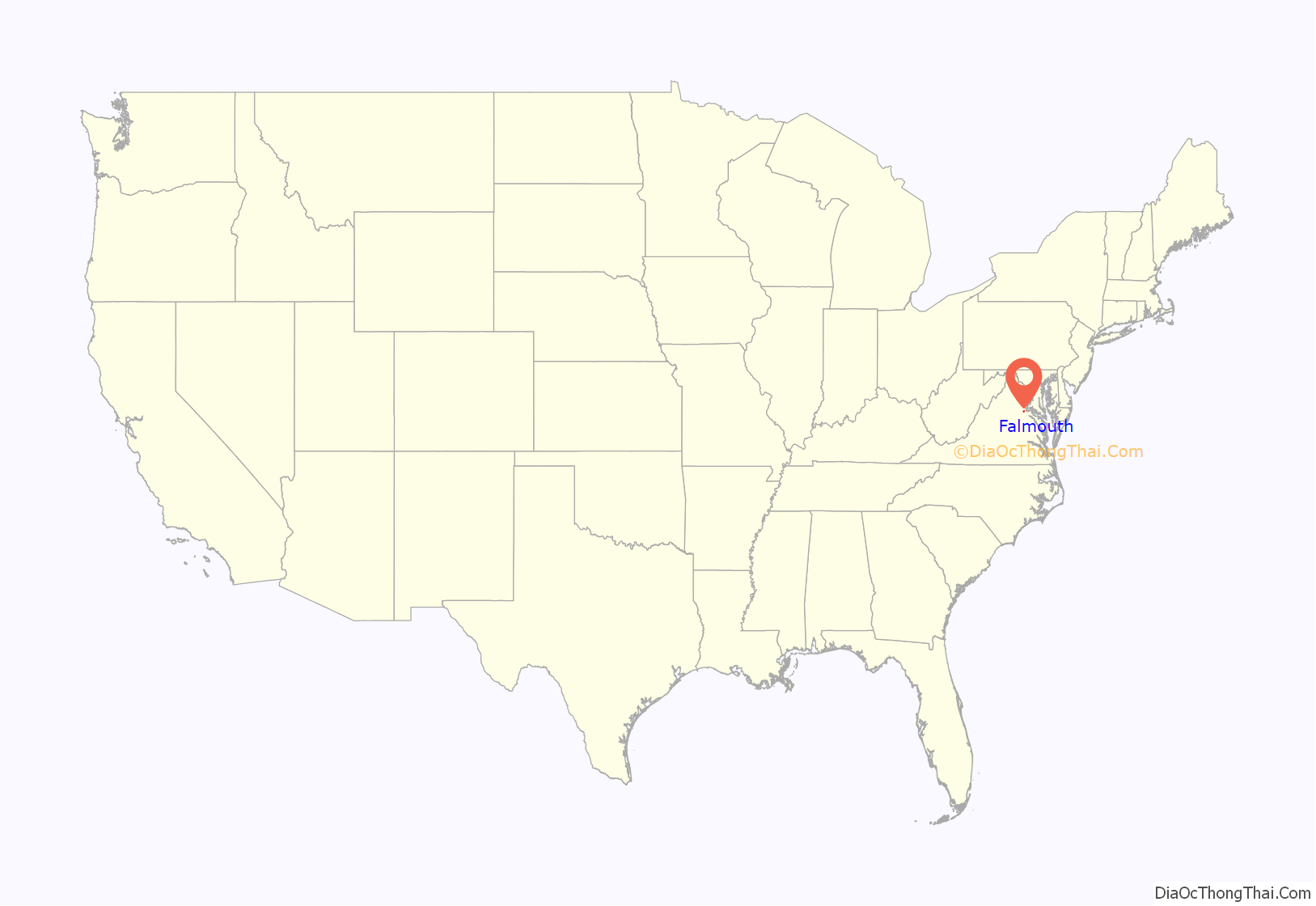
Falmouth location map. Where is Falmouth CDP?

History
Founded in 1728 by the same act of the Virginia General Assembly that established neighboring Fredericksburg, Falmouth was created as a port town on the Rappahannock to serve inhabitants living north of the river within the vast Northern Neck holdings of Lord Fairfax. His agent, Robert “King” Carter, promoted the establishment of the town, and the Carter family played a dominant role in the town’s development throughout much of the colonial period.
Hunter’s Ironworks, also known as Rappahannock Forge, was an iron furnace located near Falmouth. Thomas Jefferson made special provision to protect the ironworks during the American Revolution.
The Falmouth Road was a colonial road that served as the main route connecting Winchester in the Shenandoah Valley to the port of Falmouth. This road follows a northwesterly route that was originally called the Shenandoah Hunting Path and crossed through the Piedmont counties of Stafford and Fauquier before passing over the Blue Ridge Mountains at Ashby’s Gap. Modern day US Highway 17 follows much of this route. Originally located within King George County, Falmouth became part of Stafford when county lines were redrawn in 1776.
It was a stop on the Richmond, Fredericksburg and Potomac Railroad in the 19th century which was replaced by CSXT today. During the American Civil War, Falmouth was occupied by Union forces in 1862 and 1863, and Northern commanders located their headquarters southeast of the town during the Fredericksburg and Chancellorsville campaigns. In May 1864, Union wounded and Confederate prisoners from the Battles of the Wilderness and Spotsylvania Court House were transported through the area to the wharves at Belle Plain on Potomac Creek, a tributary of the Potomac River, located east of Falmouth.
Today Falmouth is a residential community and a suburb of Fredericksburg. Among the community’s significant historic structures is Belmont, the home of American artist Gari Melchers, now a historic house museum administered by University of Mary Washington. Chatham Manor, the 1771 home of William Fitzhugh and a Union headquarters during the Civil War, is located downstream from Falmouth, opposite the historic district of Fredericksburg. It is administered by the National Park Service as part of Fredericksburg and Spotsylvania County Battlefields Memorial National Military Park and now serves as park headquarters.
In addition to Belmont, Carlton, Clearview, Conway House, Falmouth Historic District, Hunter’s Ironworks, Union Church and Cemetery, and White Oak Church are listed on the National Register of Historic Places.
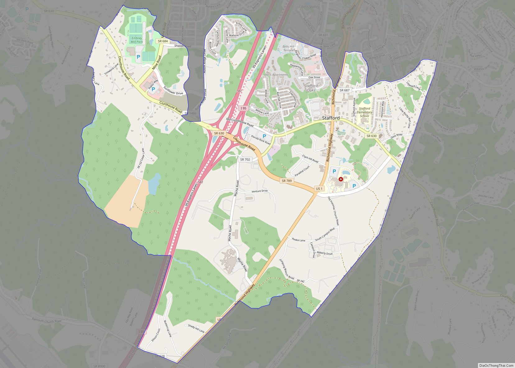
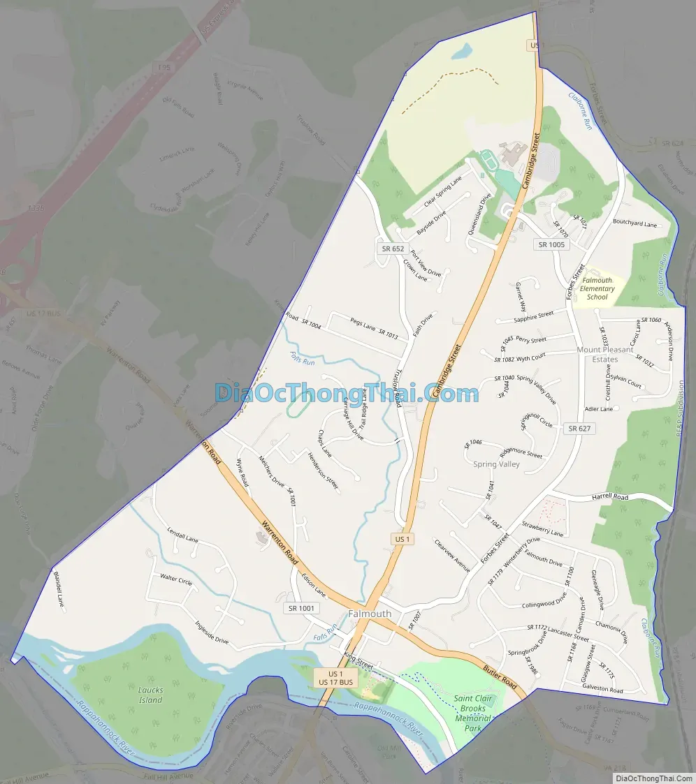
Falmouth Road Map
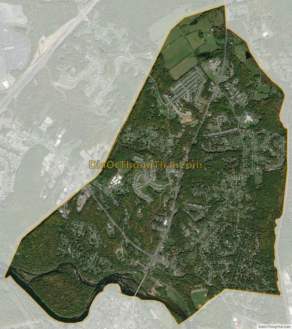
Falmouth city Satellite Map
Geography
Falmouth is located at 38°19′54″N 77°27′41″W / 38.33167°N 77.46139°W / 38.33167; -77.46139 (38.331790, −77.461361).
According to the United States Census Bureau, Falmouth has a total area of 3.2 square miles (8.4 km), of which, 3.1 square miles (8.1 km) of it is land and 0.1 square miles (0.3 km) of it (3.09%) is water.
See also
Map of Virginia State and its subdivision:- Accomack
- Albemarle
- Alexandria
- Alleghany
- Amelia
- Amherst
- Appomattox
- Arlington
- Augusta
- Bath
- Bedford
- Bedford City
- Bland
- Botetourt
- Bristol
- Brunswick
- Buchanan
- Buckingham
- Buena Vista
- Campbell
- Caroline
- Carroll
- Charles City
- Charlotte
- Charlottesville
- Chesapeake
- Chesterfield
- Clarke
- Clifton Forge City
- Colonial Heights
- Covington
- Craig
- Culpeper
- Cumberland
- Danville
- Dickenson
- Dinwiddie
- Emporia
- Essex
- Fairfax
- Fairfax City
- Falls Church
- Fauquier
- Floyd
- Fluvanna
- Franklin
- Frederick
- Fredericksburg
- Galax
- Giles
- Gloucester
- Goochland
- Grayson
- Greene
- Greensville
- Halifax
- Hampton
- Hanover
- Harrisonburg
- Henrico
- Henry
- Highland
- Hopewell
- Isle of Wight
- James City
- King and Queen
- King George
- King William
- Lancaster
- Lee
- Lexington
- Loudoun
- Louisa
- Lunenburg
- Lynchburg
- Madison
- Manassas
- Manassas Park
- Martinsville
- Mathews
- Mecklenburg
- Middlesex
- Montgomery
- Nelson
- New Kent
- Newport News
- Norfolk
- Northampton
- Northumberland
- Norton
- Nottoway
- Orange
- Page
- Patrick
- Petersburg
- Pittsylvania
- Poquoson
- Portsmouth
- Powhatan
- Prince Edward
- Prince George
- Prince William
- Pulaski
- Radford
- Rappahannock
- Richmond
- Roanoke
- Roanoke City
- Rockbridge
- Rockingham
- Russell
- Salem
- Scott
- Shenandoah
- Smyth
- Southampton
- Spotsylvania
- Stafford
- Staunton
- Suffolk
- Surry
- Sussex
- Tazewell
- Virginia Beach
- Warren
- Washington
- Waynesboro
- Westmoreland
- Williamsburg
- Winchester
- Wise
- Wythe
- York
- Alabama
- Alaska
- Arizona
- Arkansas
- California
- Colorado
- Connecticut
- Delaware
- District of Columbia
- Florida
- Georgia
- Hawaii
- Idaho
- Illinois
- Indiana
- Iowa
- Kansas
- Kentucky
- Louisiana
- Maine
- Maryland
- Massachusetts
- Michigan
- Minnesota
- Mississippi
- Missouri
- Montana
- Nebraska
- Nevada
- New Hampshire
- New Jersey
- New Mexico
- New York
- North Carolina
- North Dakota
- Ohio
- Oklahoma
- Oregon
- Pennsylvania
- Rhode Island
- South Carolina
- South Dakota
- Tennessee
- Texas
- Utah
- Vermont
- Virginia
- Washington
- West Virginia
- Wisconsin
- Wyoming