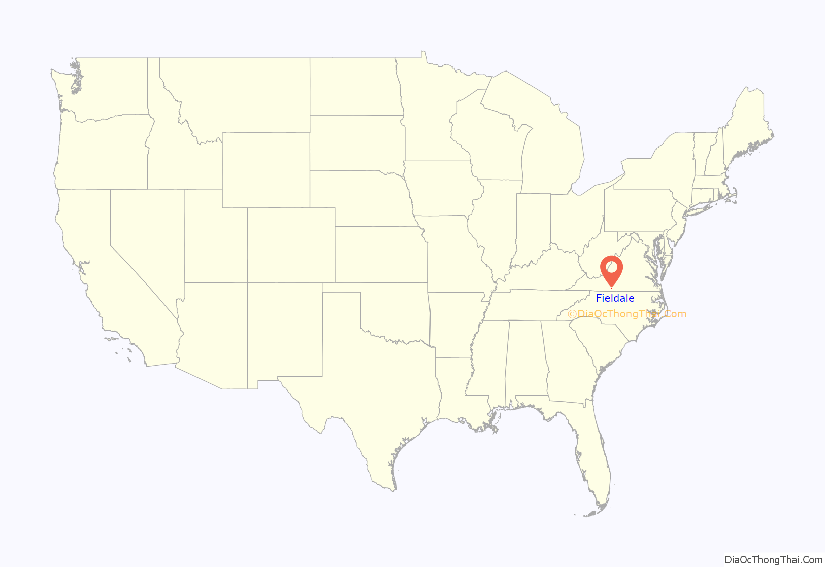
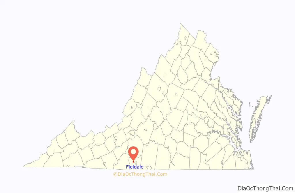
Fieldale is a census-designated place (CDP) in Henry County, Virginia, United States. The population was 879 at the 2010 census. It is part of the Martinsville Micropolitan Statistical Area.
| Name: | Fieldale CDP |
|---|---|
| LSAD Code: | 57 |
| LSAD Description: | CDP (suffix) |
| State: | Virginia |
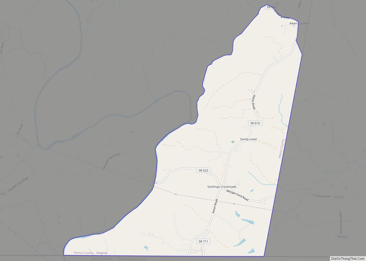
| County: | Henry County |
| Elevation: | 810 ft (247 m) |
| Total Area: | 1.6 sq mi (4.2 km²) |
| Land Area: | 1.6 sq mi (4.2 km²) |
| Water Area: | 0.0 sq mi (0.0 km²) |
| Total Population: | 879 |
| Population Density: | 550/sq mi (210/km²) |
| ZIP code: | 24089 |
| Area code: | 276 |
| FIPS code: | 5127744 |
| GNISfeature ID: | 1495536 |
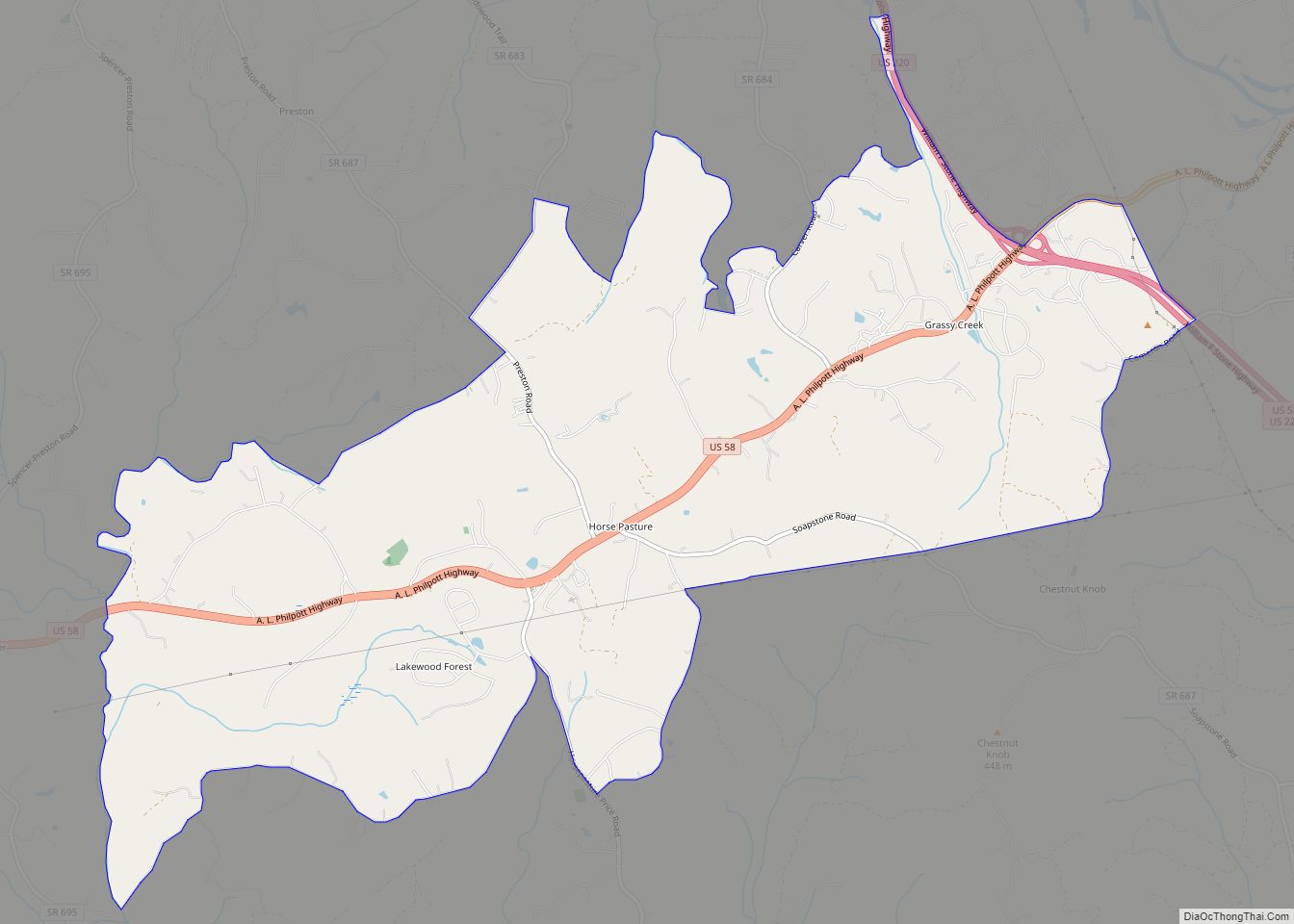
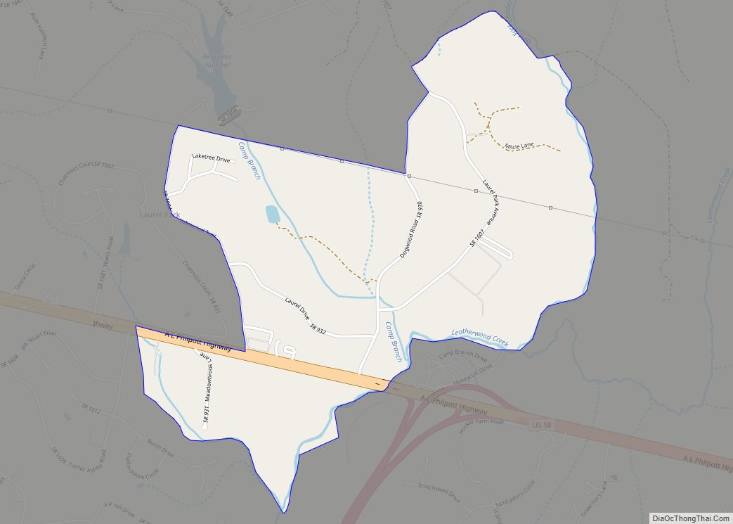
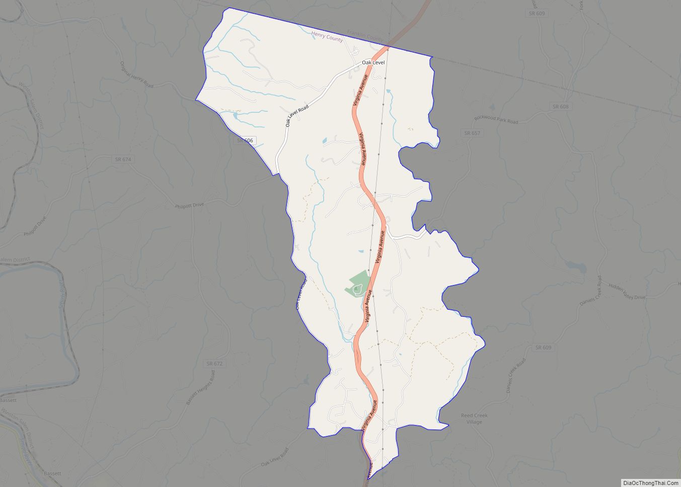
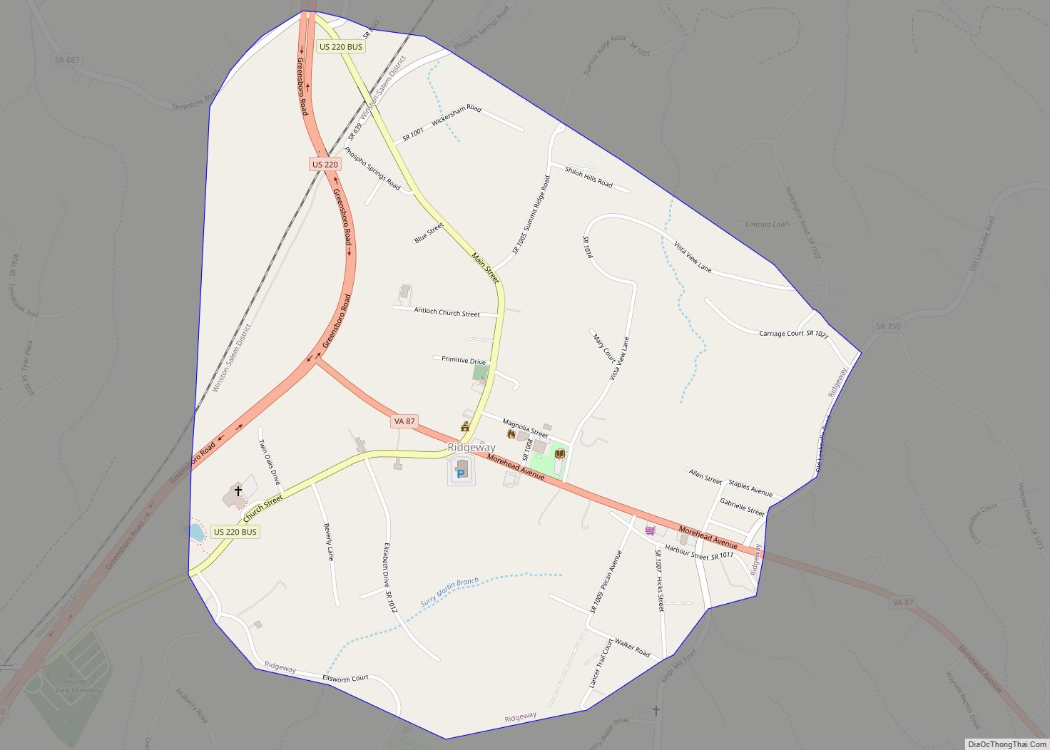
Online Interactive Map
Click on ![]() to view map in "full screen" mode.
to view map in "full screen" mode.
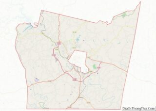
Fieldale location map. Where is Fieldale CDP?
History
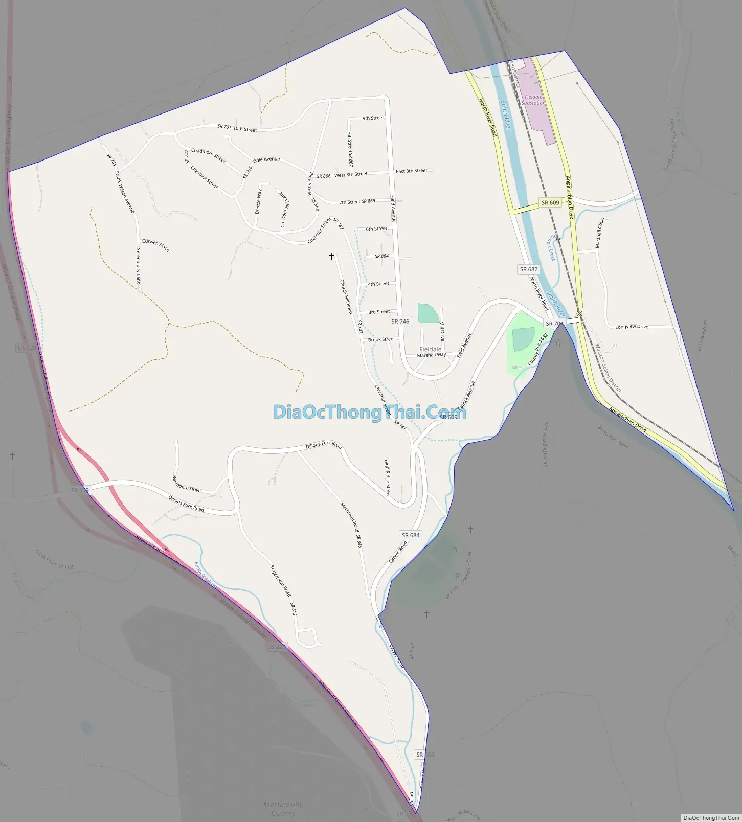
The area was first settled in 1770 by planter George Waller, an officer in the state militia who was later promoted to Colonel, and his wife Ann Winston (Carr), first cousin of statesman Patrick Henry, as a protected ford across the Smith River. The local militia trained on Col. Waller’s acreage. The settlement was subsequently known as Waller’s Ford for over a century. A Virginia Historical Highway Marker unveiled in September 2017 marks the location of Col. Waller’s plantation. In 1916, Marshall Field & Company purchased the site from the Waller heirs and established Fieldcrest Mills, the town of Fieldale, and an 8,500-square-foot (790 m) company clubhouse, all completed in 1919.
The Fieldale Historic District, Marshall Field and Company Clubhouse, and Virginia Home are listed on the National Register of Historic Places.
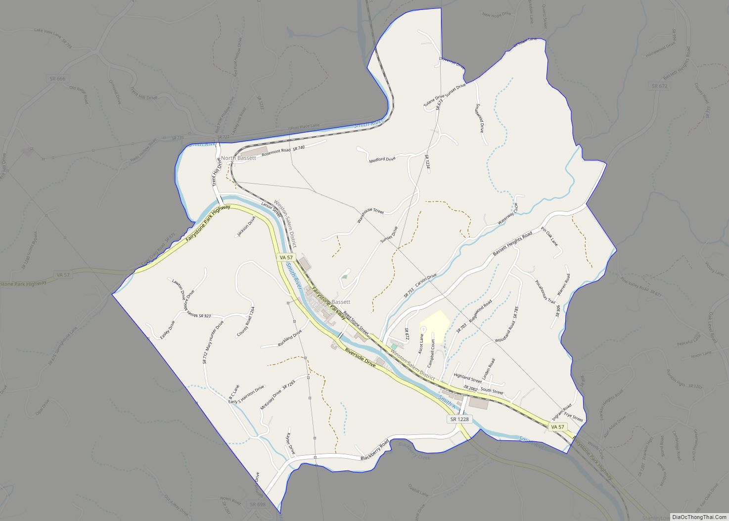
Fieldale Road Map
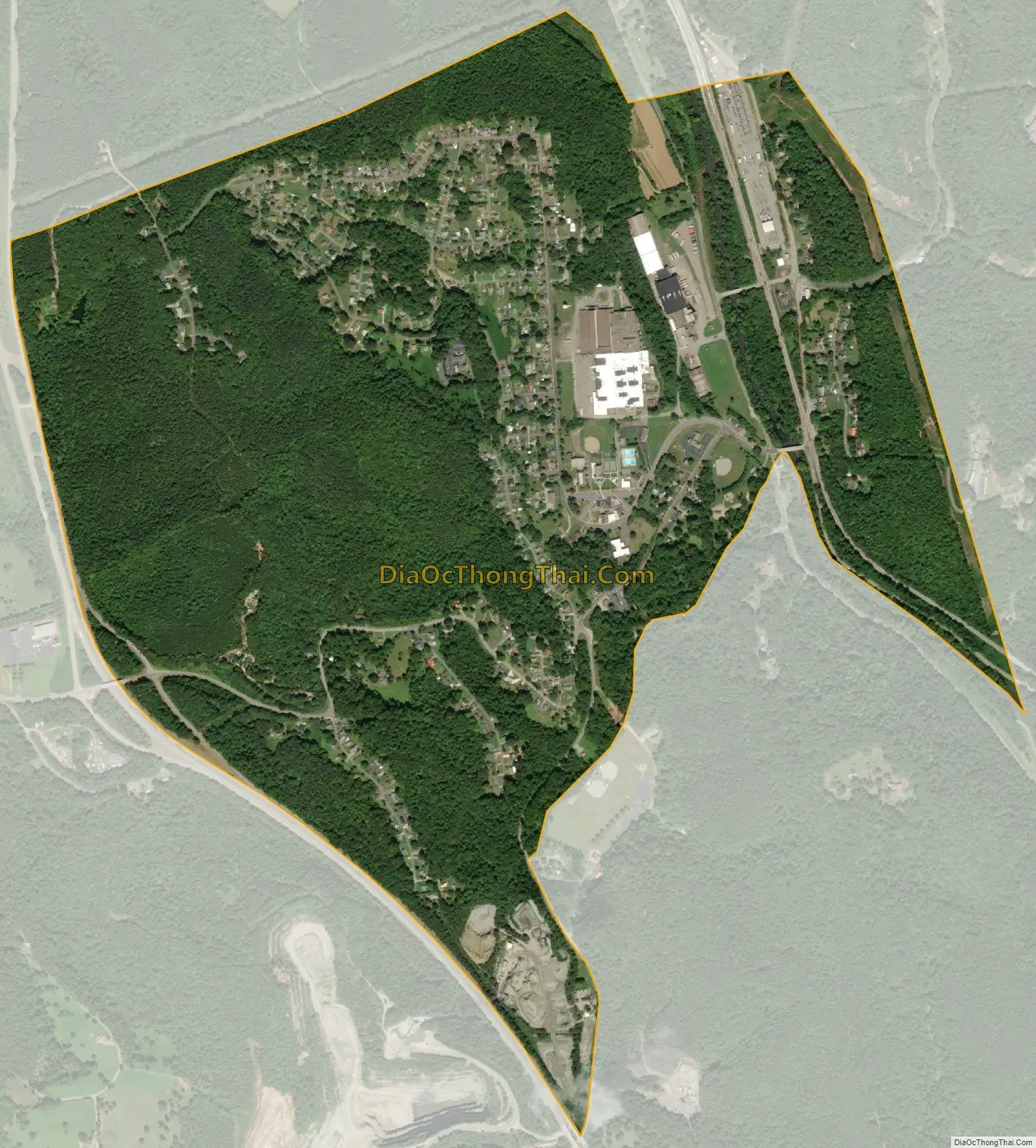
Fieldale city Satellite Map
Geography
Fieldale is located at 36°41′59″N 79°56′22″W / 36.69972°N 79.93944°W / 36.69972; -79.93944 (36.699850, −79.939482).
According to the United States Census Bureau, the CDP has a total area of 1.6 square miles (4.2 km), all of it land.
See also
Map of Virginia State and its subdivision:- Accomack
- Albemarle
- Alexandria
- Alleghany
- Amelia
- Amherst
- Appomattox
- Arlington
- Augusta
- Bath
- Bedford
- Bedford City
- Bland
- Botetourt
- Bristol
- Brunswick
- Buchanan
- Buckingham
- Buena Vista
- Campbell
- Caroline
- Carroll
- Charles City
- Charlotte
- Charlottesville
- Chesapeake
- Chesterfield
- Clarke
- Clifton Forge City
- Colonial Heights
- Covington
- Craig
- Culpeper
- Cumberland
- Danville
- Dickenson
- Dinwiddie
- Emporia
- Essex
- Fairfax
- Fairfax City
- Falls Church
- Fauquier
- Floyd
- Fluvanna
- Franklin
- Frederick
- Fredericksburg
- Galax
- Giles
- Gloucester
- Goochland
- Grayson
- Greene
- Greensville
- Halifax
- Hampton
- Hanover
- Harrisonburg
- Henrico
- Henry
- Highland
- Hopewell
- Isle of Wight
- James City
- King and Queen
- King George
- King William
- Lancaster
- Lee
- Lexington
- Loudoun
- Louisa
- Lunenburg
- Lynchburg
- Madison
- Manassas
- Manassas Park
- Martinsville
- Mathews
- Mecklenburg
- Middlesex
- Montgomery
- Nelson
- New Kent
- Newport News
- Norfolk
- Northampton
- Northumberland
- Norton
- Nottoway
- Orange
- Page
- Patrick
- Petersburg
- Pittsylvania
- Poquoson
- Portsmouth
- Powhatan
- Prince Edward
- Prince George
- Prince William
- Pulaski
- Radford
- Rappahannock
- Richmond
- Roanoke
- Roanoke City
- Rockbridge
- Rockingham
- Russell
- Salem
- Scott
- Shenandoah
- Smyth
- Southampton
- Spotsylvania
- Stafford
- Staunton
- Suffolk
- Surry
- Sussex
- Tazewell
- Virginia Beach
- Warren
- Washington
- Waynesboro
- Westmoreland
- Williamsburg
- Winchester
- Wise
- Wythe
- York
- Alabama
- Alaska
- Arizona
- Arkansas
- California
- Colorado
- Connecticut
- Delaware
- District of Columbia
- Florida
- Georgia
- Hawaii
- Idaho
- Illinois
- Indiana
- Iowa
- Kansas
- Kentucky
- Louisiana
- Maine
- Maryland
- Massachusetts
- Michigan
- Minnesota
- Mississippi
- Missouri
- Montana
- Nebraska
- Nevada
- New Hampshire
- New Jersey
- New Mexico
- New York
- North Carolina
- North Dakota
- Ohio
- Oklahoma
- Oregon
- Pennsylvania
- Rhode Island
- South Carolina
- South Dakota
- Tennessee
- Texas
- Utah
- Vermont
- Virginia
- Washington
- West Virginia
- Wisconsin
- Wyoming