Jonesville is a town in and the county seat of Lee County, Virginia, United States. The population was 1,034 at the 2010 census.
| Name: | Jonesville town |
|---|---|
| LSAD Code: | 43 |
| LSAD Description: | town (suffix) |
| State: | Virginia |
| County: | Lee County |
| Elevation: | 1,503 ft (458 m) |
| Total Area: | 1.11 sq mi (2.88 km²) |
| Land Area: | 1.11 sq mi (2.88 km²) |
| Water Area: | 0.00 sq mi (0.00 km²) 0% |
| Total Population: | 1,034 |
| Population Density: | 835.28/sq mi (322.59/km²) |
| ZIP code: | 24263 |
| Area code: | 276 |
| FIPS code: | 5141272 |
| GNISfeature ID: | 1498497 |
| Website: | www.townofjonesville.org |
Online Interactive Map
Click on ![]() to view map in "full screen" mode.
to view map in "full screen" mode.
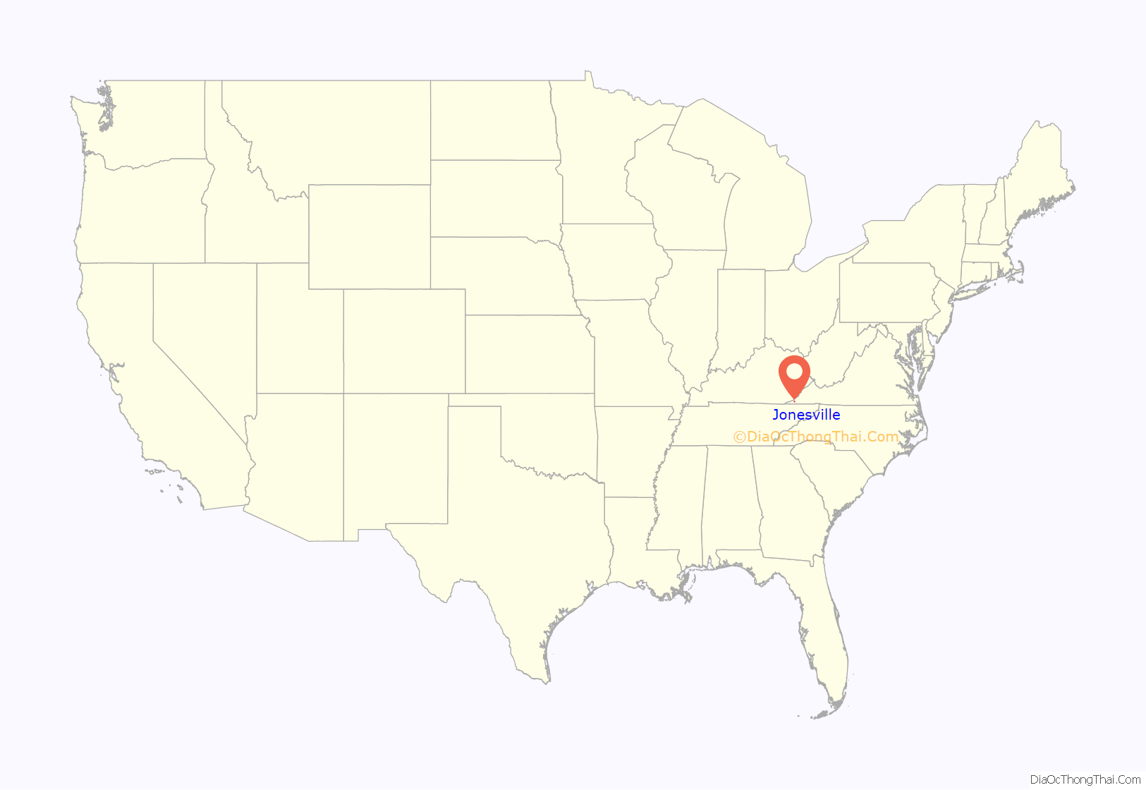
Jonesville location map. Where is Jonesville town?
History
Jonesville was a small but thriving center of local commerce in the late nineteenth and early twentieth centuries, but like most towns in the central Appalachian region, it fell into gradual economic decline as the coal boom ebbed in the latter half of the twentieth century. By the end of the century much of the commercial real estate in its downtown area was either unoccupied or underutilized. Most of Jonesville’s remaining commercial activity is concentrated in the west end. Jonesville Drug, one of the oldest surviving downtown businesses, relocated to the old Chappell’s Dairy site on the west end in 2004.
Jonesville is the birthplace of Andrew Taylor Still, MD, DO (August 6, 1828 – December 12, 1917). Dr Still was a founder of Baker University in Kansas and the founder of the American School of Osteopathic Medicine (now A. T. Still University) in Kirksville, MO (1892). Dr Still is considered the founder of osteopathic medicine and is the author of four books published in his lifetime. In December, 2013 Dr. Still was announced as an inductee to the Hall of Famous Missourians.
The Dickinson-Milbourn House and Jonesville Methodist Campground are listed on the National Register of Historic Places.
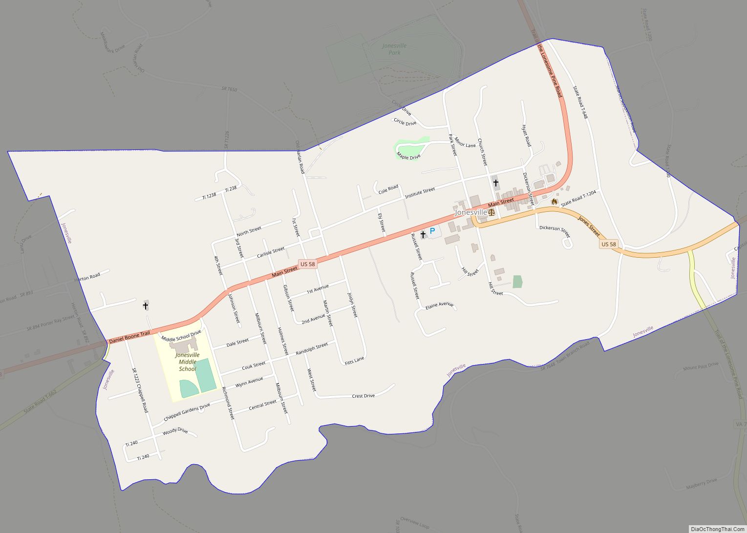
Jonesville Road Map
Jonesville city Satellite Map
Geography
Jonesville is located at 36°41′17″N 83°6′59″W / 36.68806°N 83.11639°W / 36.68806; -83.11639 (36.688012, -83.116305).
According to the United States Census Bureau, the town has a total area of 1.1 square miles (2.8 km), all land.
See also
Map of Virginia State and its subdivision:- Accomack
- Albemarle
- Alexandria
- Alleghany
- Amelia
- Amherst
- Appomattox
- Arlington
- Augusta
- Bath
- Bedford
- Bedford City
- Bland
- Botetourt
- Bristol
- Brunswick
- Buchanan
- Buckingham
- Buena Vista
- Campbell
- Caroline
- Carroll
- Charles City
- Charlotte
- Charlottesville
- Chesapeake
- Chesterfield
- Clarke
- Clifton Forge City
- Colonial Heights
- Covington
- Craig
- Culpeper
- Cumberland
- Danville
- Dickenson
- Dinwiddie
- Emporia
- Essex
- Fairfax
- Fairfax City
- Falls Church
- Fauquier
- Floyd
- Fluvanna
- Franklin
- Frederick
- Fredericksburg
- Galax
- Giles
- Gloucester
- Goochland
- Grayson
- Greene
- Greensville
- Halifax
- Hampton
- Hanover
- Harrisonburg
- Henrico
- Henry
- Highland
- Hopewell
- Isle of Wight
- James City
- King and Queen
- King George
- King William
- Lancaster
- Lee
- Lexington
- Loudoun
- Louisa
- Lunenburg
- Lynchburg
- Madison
- Manassas
- Manassas Park
- Martinsville
- Mathews
- Mecklenburg
- Middlesex
- Montgomery
- Nelson
- New Kent
- Newport News
- Norfolk
- Northampton
- Northumberland
- Norton
- Nottoway
- Orange
- Page
- Patrick
- Petersburg
- Pittsylvania
- Poquoson
- Portsmouth
- Powhatan
- Prince Edward
- Prince George
- Prince William
- Pulaski
- Radford
- Rappahannock
- Richmond
- Roanoke
- Roanoke City
- Rockbridge
- Rockingham
- Russell
- Salem
- Scott
- Shenandoah
- Smyth
- Southampton
- Spotsylvania
- Stafford
- Staunton
- Suffolk
- Surry
- Sussex
- Tazewell
- Virginia Beach
- Warren
- Washington
- Waynesboro
- Westmoreland
- Williamsburg
- Winchester
- Wise
- Wythe
- York
- Alabama
- Alaska
- Arizona
- Arkansas
- California
- Colorado
- Connecticut
- Delaware
- District of Columbia
- Florida
- Georgia
- Hawaii
- Idaho
- Illinois
- Indiana
- Iowa
- Kansas
- Kentucky
- Louisiana
- Maine
- Maryland
- Massachusetts
- Michigan
- Minnesota
- Mississippi
- Missouri
- Montana
- Nebraska
- Nevada
- New Hampshire
- New Jersey
- New Mexico
- New York
- North Carolina
- North Dakota
- Ohio
- Oklahoma
- Oregon
- Pennsylvania
- Rhode Island
- South Carolina
- South Dakota
- Tennessee
- Texas
- Utah
- Vermont
- Virginia
- Washington
- West Virginia
- Wisconsin
- Wyoming
