Linton Hall is a census-designated place (CDP) in Prince William County, Virginia, United States, which includes unincorporated Bristow. The population was 35,725 at the 2010 census, an increase of over 300% from the 2000 census.
According to the United States Census Bureau, residents of Linton Hall had an average commute of 46.3 minutes each way between 2005 and 2007, the longest average commute for the period in the nation. The average commute in the United States for the period was 25.1 minutes. The chairman of the Prince William Board of County Supervisors said commutes were especially long for residents during the period studied because the county had not finished building roads to support the new residential areas that had just been built.
| Name: | Linton Hall CDP |
|---|---|
| LSAD Code: | 57 |
| LSAD Description: | CDP (suffix) |
| State: | Virginia |
| County: | Prince William County |
| Elevation: | 246 ft (75 m) |
| Total Area: | 8.3 sq mi (21.4 km²) |
| Land Area: | 8.3 sq mi (21.4 km²) |
| Water Area: | 0.0 sq mi (0.0 km²) |
| Total Population: | 41,754 |
| Population Density: | 5,000/sq mi (2,000/km²) |
| Area code: | 571, 703 |
| FIPS code: | 5145957 |
| GNISfeature ID: | 1852916 |
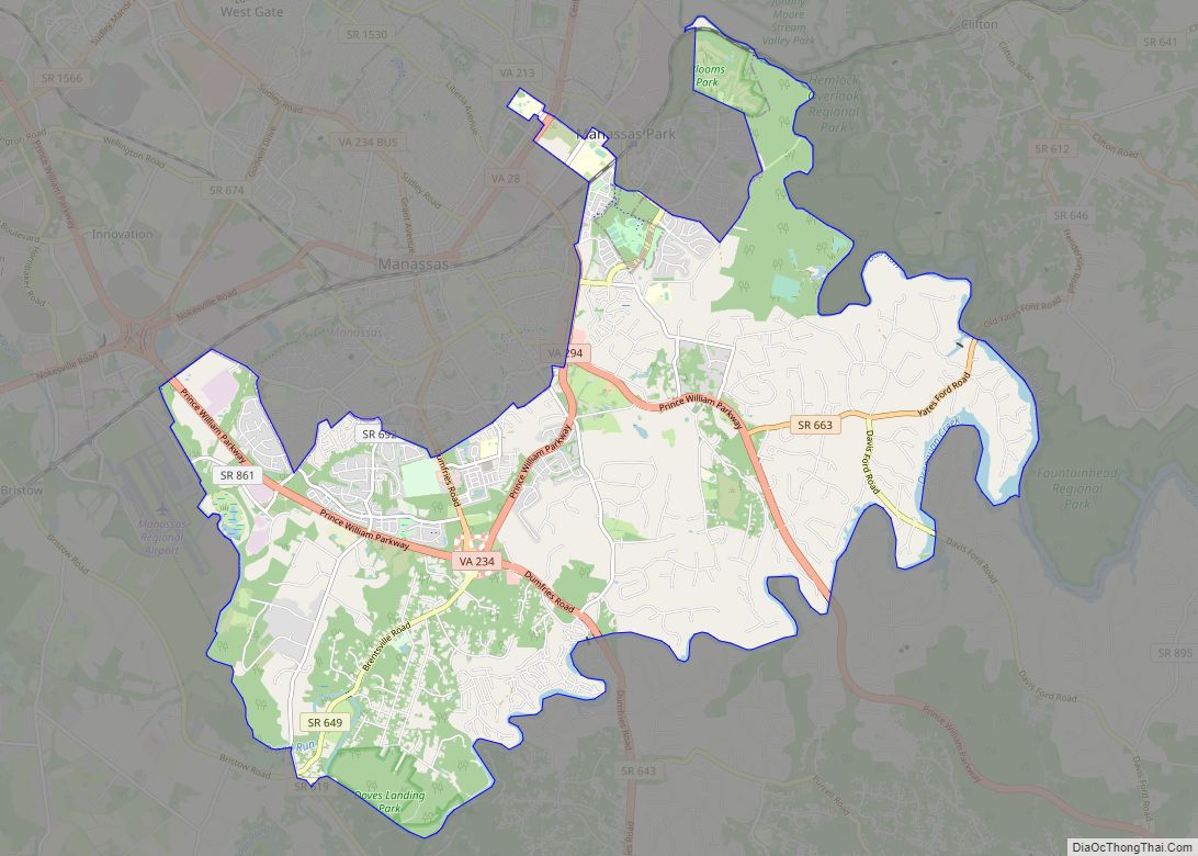
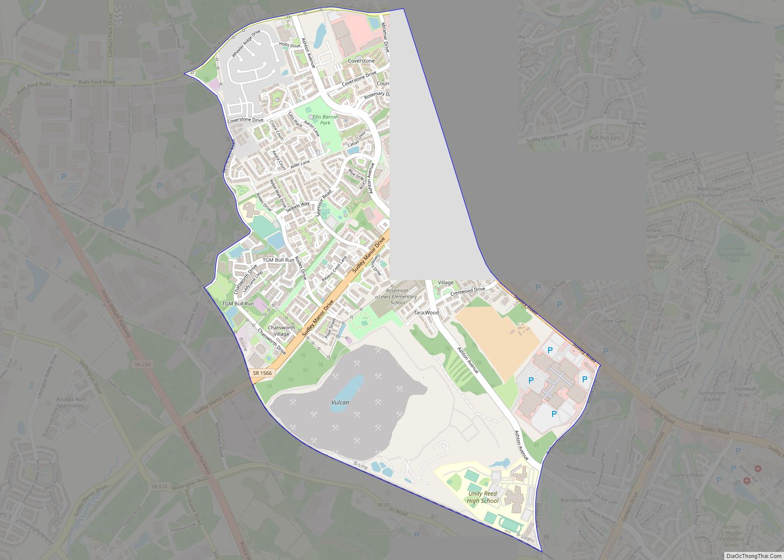
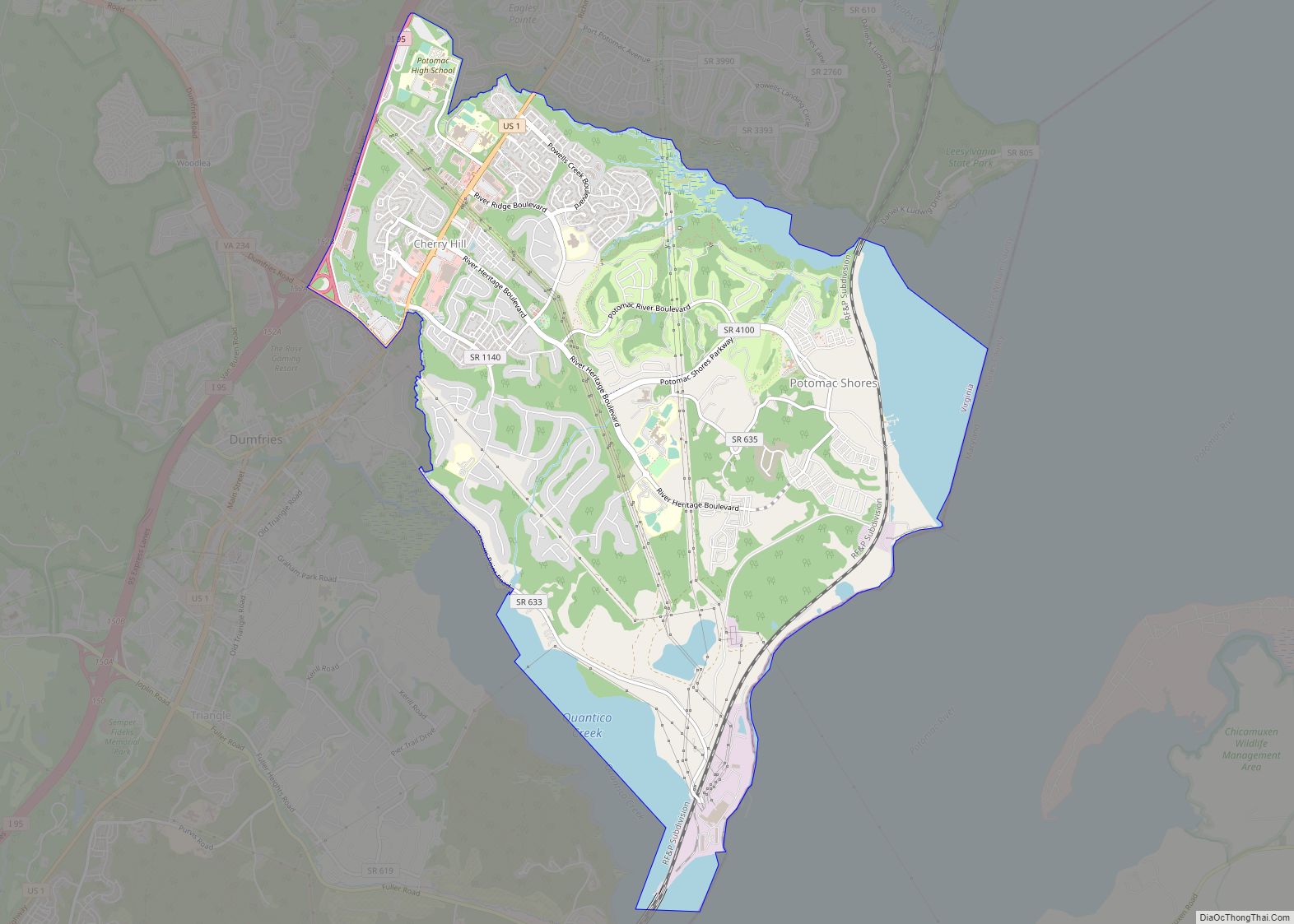
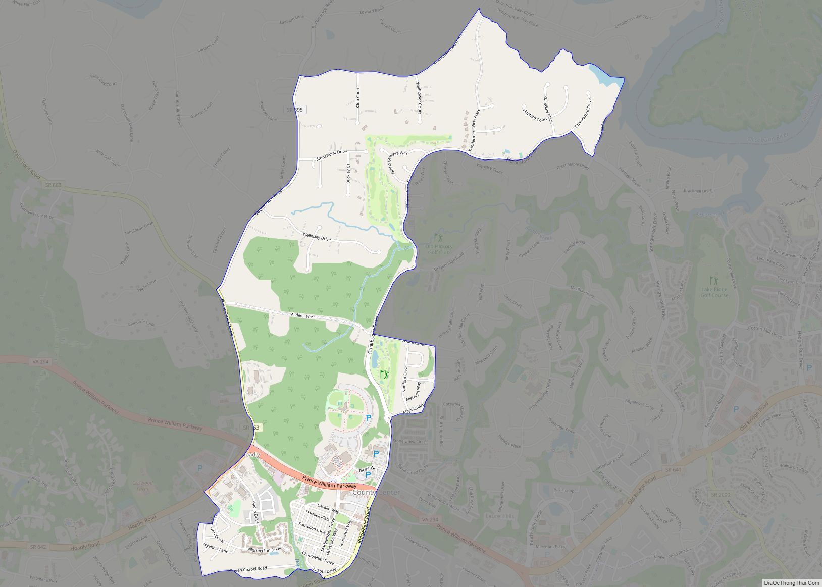
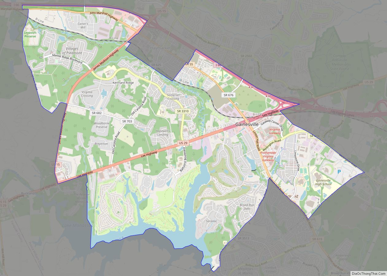
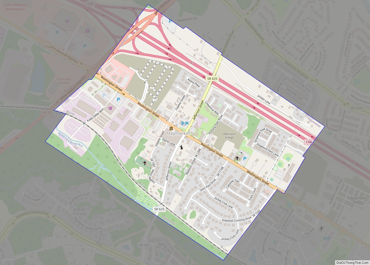
Online Interactive Map
Click on ![]() to view map in "full screen" mode.
to view map in "full screen" mode.
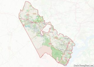
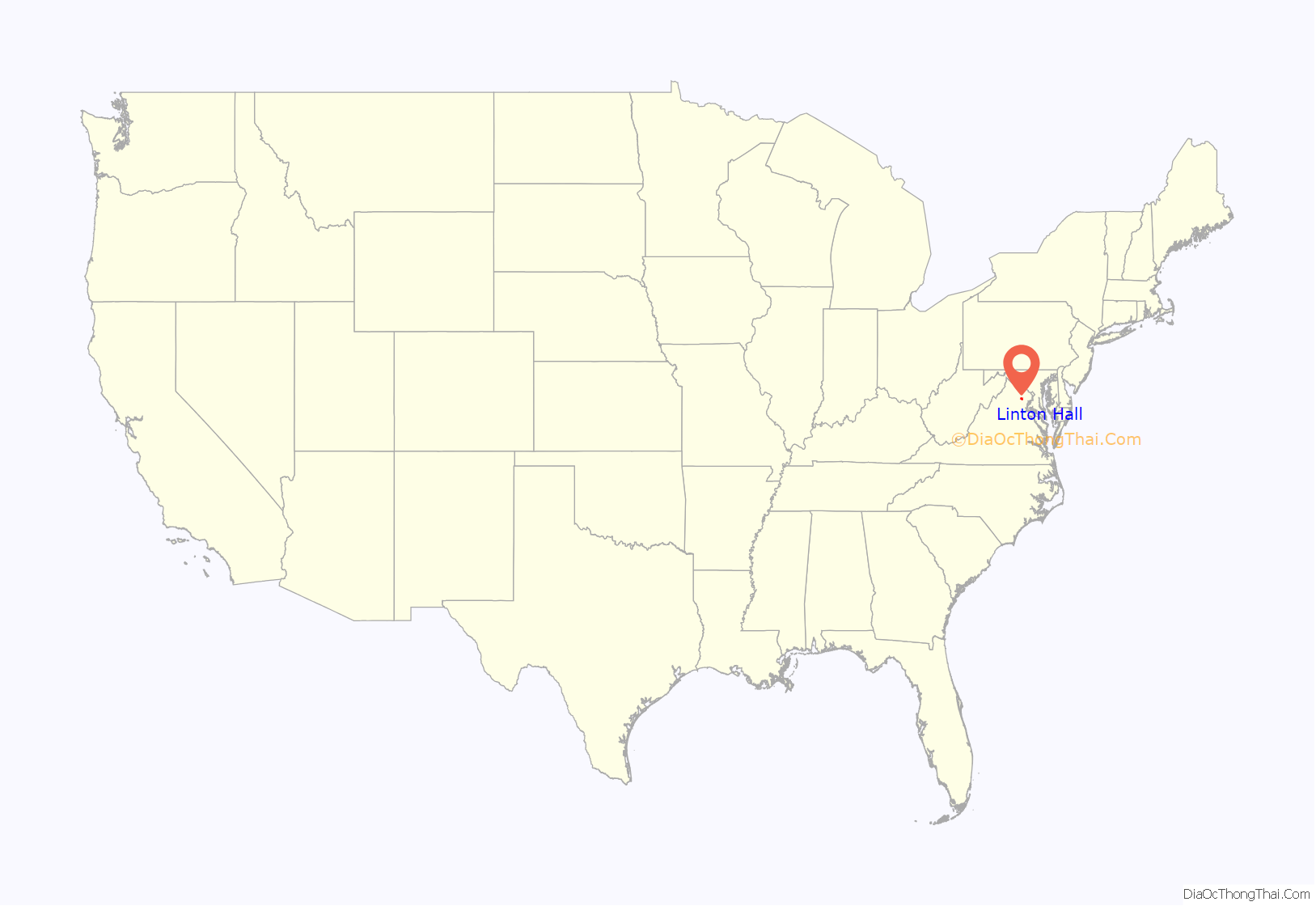
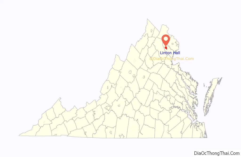
Linton Hall location map. Where is Linton Hall CDP?
History
The area is named for Linton Hall Military School (now Linton Hall School), a school founded by Benedictine nuns on the site of the former Linton’s Ford Plantation. Linton’s Ford was inherited by Sister Mary Baptista, John Linton’s daughter, and upon her death the land was inherited by the Benedictine order for the purpose of educating poor boys and girls. The Benedictine monastery remains part of the school through the present day.
Over the last century the Benedictine nuns sold most of the school property, primarily to real estate developers, which created the Braemar subdivision, a series of upscale housing developments with a large homeowners association.
The Linton family cemetery is located inside the Braemar subdivision. The site was surveyed by the Prince William County Archaeologist, Prince William County Historical Society and County Arborist for potential restoration in 2006. While it was the intent of the nuns at Linton Hall to maintain ownership of the cemetery, it was determined that, due to loss of land records for that space during the Civil War (attributed to the burning of the Brentsville Courthouse), the cemetery was “unowned” and remains in this status today.
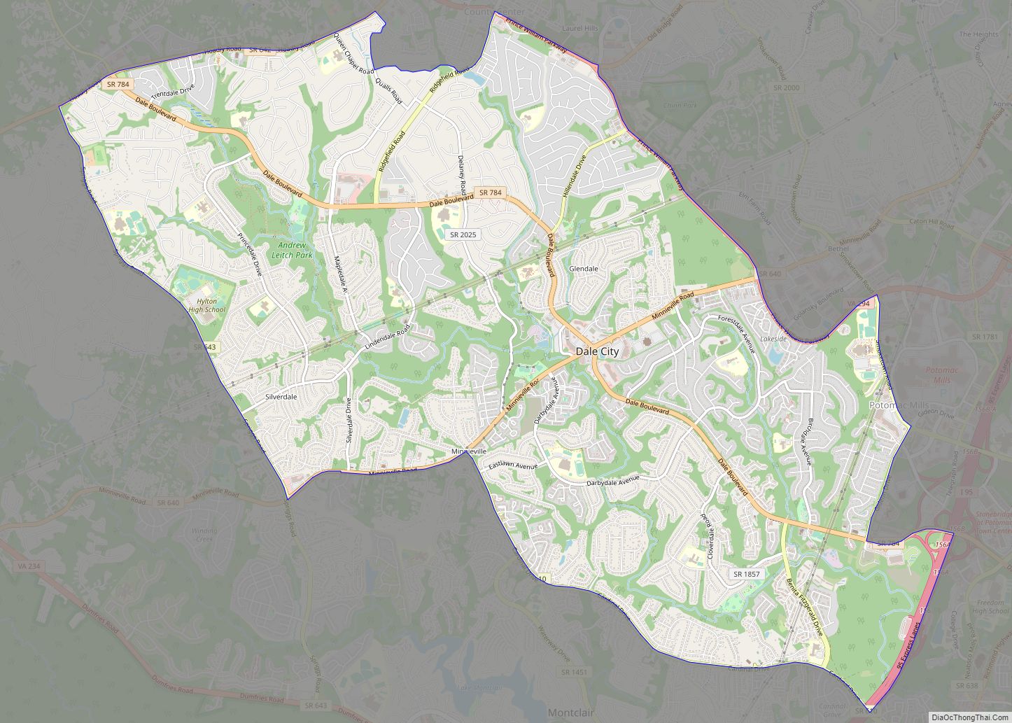
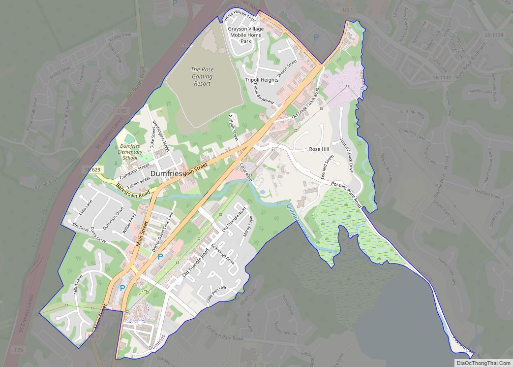
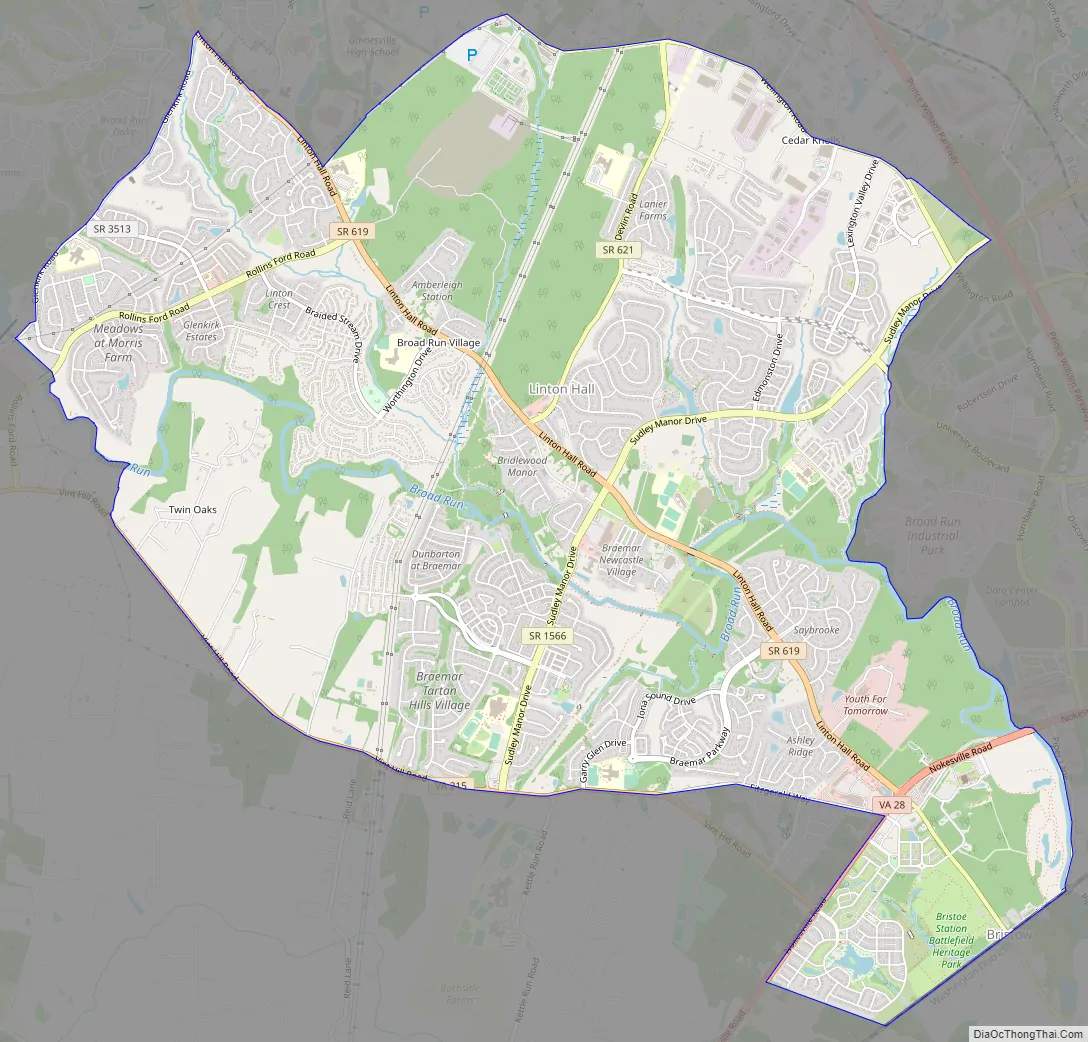
Linton Hall Road Map
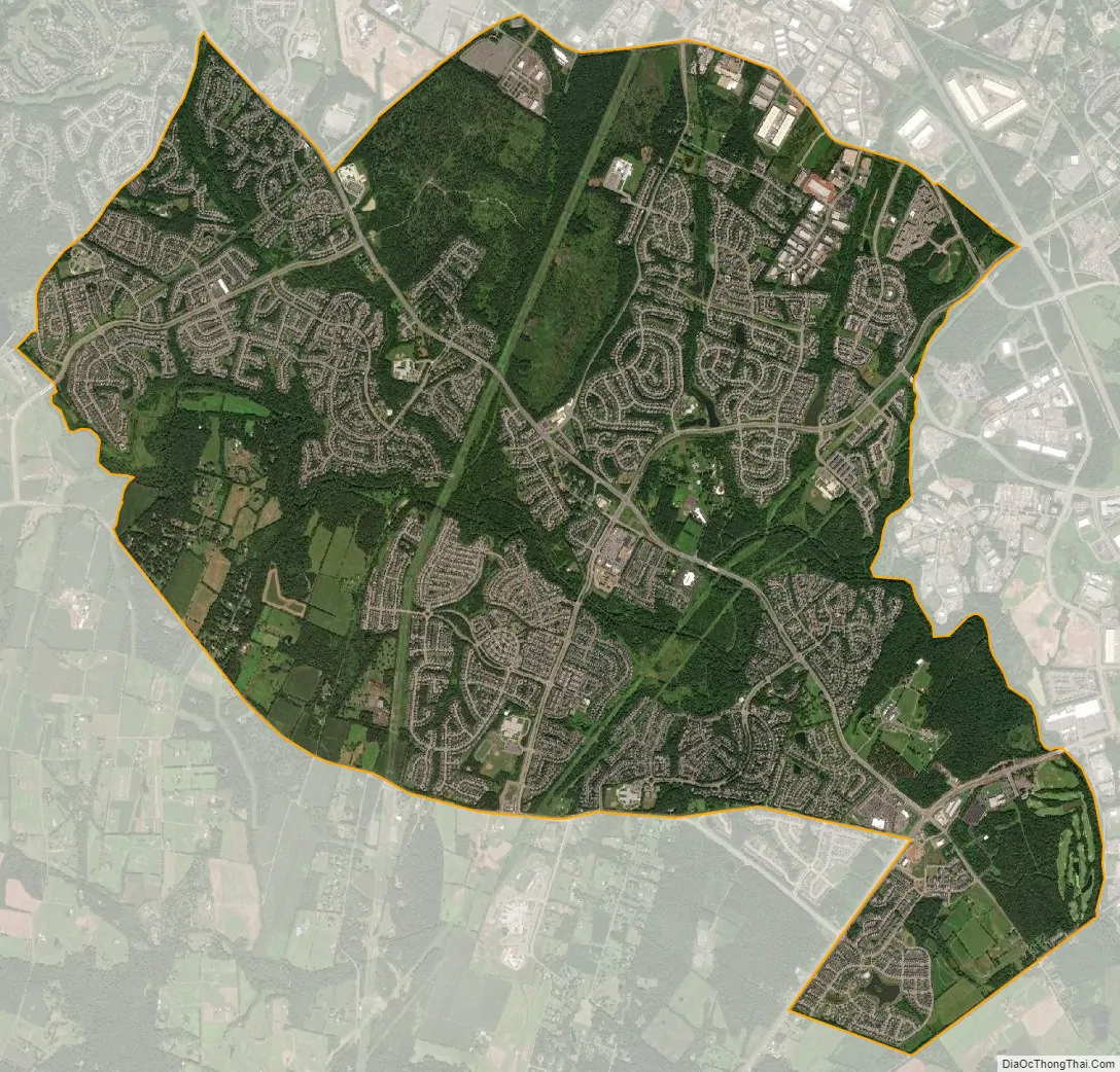
Linton Hall city Satellite Map
Geography
Linton Hall is located at 38°45′15″N 77°34′50″W / 38.75417°N 77.58056°W / 38.75417; -77.58056 (38.754262, −77.580487).
According to the United States Census Bureau, the CDP has a total area of 8.3 square miles (21.4 km), all of it land.
See also
Map of Virginia State and its subdivision:- Accomack
- Albemarle
- Alexandria
- Alleghany
- Amelia
- Amherst
- Appomattox
- Arlington
- Augusta
- Bath
- Bedford
- Bedford City
- Bland
- Botetourt
- Bristol
- Brunswick
- Buchanan
- Buckingham
- Buena Vista
- Campbell
- Caroline
- Carroll
- Charles City
- Charlotte
- Charlottesville
- Chesapeake
- Chesterfield
- Clarke
- Clifton Forge City
- Colonial Heights
- Covington
- Craig
- Culpeper
- Cumberland
- Danville
- Dickenson
- Dinwiddie
- Emporia
- Essex
- Fairfax
- Fairfax City
- Falls Church
- Fauquier
- Floyd
- Fluvanna
- Franklin
- Frederick
- Fredericksburg
- Galax
- Giles
- Gloucester
- Goochland
- Grayson
- Greene
- Greensville
- Halifax
- Hampton
- Hanover
- Harrisonburg
- Henrico
- Henry
- Highland
- Hopewell
- Isle of Wight
- James City
- King and Queen
- King George
- King William
- Lancaster
- Lee
- Lexington
- Loudoun
- Louisa
- Lunenburg
- Lynchburg
- Madison
- Manassas
- Manassas Park
- Martinsville
- Mathews
- Mecklenburg
- Middlesex
- Montgomery
- Nelson
- New Kent
- Newport News
- Norfolk
- Northampton
- Northumberland
- Norton
- Nottoway
- Orange
- Page
- Patrick
- Petersburg
- Pittsylvania
- Poquoson
- Portsmouth
- Powhatan
- Prince Edward
- Prince George
- Prince William
- Pulaski
- Radford
- Rappahannock
- Richmond
- Roanoke
- Roanoke City
- Rockbridge
- Rockingham
- Russell
- Salem
- Scott
- Shenandoah
- Smyth
- Southampton
- Spotsylvania
- Stafford
- Staunton
- Suffolk
- Surry
- Sussex
- Tazewell
- Virginia Beach
- Warren
- Washington
- Waynesboro
- Westmoreland
- Williamsburg
- Winchester
- Wise
- Wythe
- York
- Alabama
- Alaska
- Arizona
- Arkansas
- California
- Colorado
- Connecticut
- Delaware
- District of Columbia
- Florida
- Georgia
- Hawaii
- Idaho
- Illinois
- Indiana
- Iowa
- Kansas
- Kentucky
- Louisiana
- Maine
- Maryland
- Massachusetts
- Michigan
- Minnesota
- Mississippi
- Missouri
- Montana
- Nebraska
- Nevada
- New Hampshire
- New Jersey
- New Mexico
- New York
- North Carolina
- North Dakota
- Ohio
- Oklahoma
- Oregon
- Pennsylvania
- Rhode Island
- South Carolina
- South Dakota
- Tennessee
- Texas
- Utah
- Vermont
- Virginia
- Washington
- West Virginia
- Wisconsin
- Wyoming