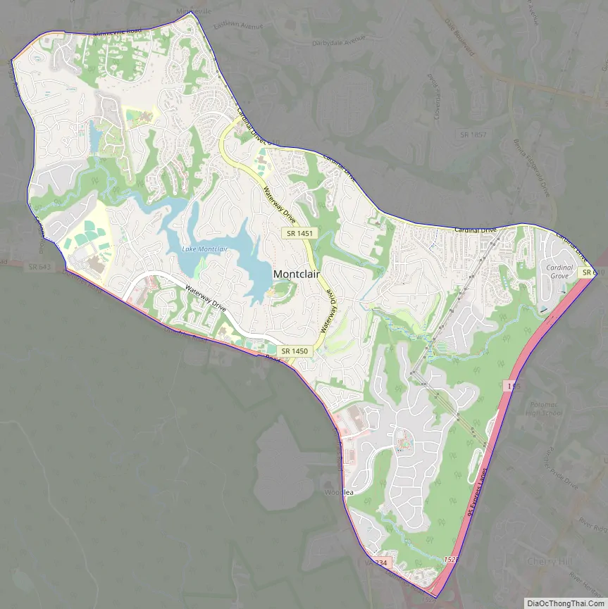
Montclair is a census-designated place (CDP) in Prince William County, Virginia, United States. The population was 22,279 in the 2020 census. An affluent residential community surrounding a man-made lake and golf course, development began in the late 1960s and new home construction ended during the 1990s.
| Name: | Montclair CDP |
|---|---|
| LSAD Code: | 57 |
| LSAD Description: | CDP (suffix) |
| State: | Virginia |
| County: | Prince William County |
| Elevation: | 125 ft (38 m) |
| Total Area: | 6.2 sq mi (16.0 km²) |
| Land Area: | 6.0 sq mi (15.6 km²) |
| Water Area: | 0.1 sq mi (0.3 km²) |
| Total Population: | 22,279 |
| Population Density: | 3,600/sq mi (1,400/km²) |
| ZIP code: | 22025 |
| Area code: | 571, 703 |
| FIPS code: | 5152658 |
| GNISfeature ID: | 1867595 |
Online Interactive Map
Click on ![]() to view map in "full screen" mode.
to view map in "full screen" mode.
Montclair location map. Where is Montclair CDP?
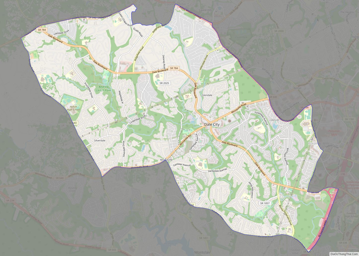
Montclair Road Map
Montclair city Satellite Map
Geography
According to the United States Census Bureau, the CDP has a total area of 6.2 square miles (16.0 km), of which, 6.0 square miles (15.6 km) of it is land and 0.1 square miles (0.3 km) of it (2.11%) is water.
Lake Montclair
Lake Montclair is popular for boating, and fishing. There are three private beaches located off the lake: Dolphin Beach, West Beach, and Beaver Landing, with Dolphin Beach being the largest and offering amenities such as a pavilion with picnic tables, volleyball court, playground, and restroom. Several events are held at Dolphin Beach throughout the year with food, live music, and other family-friendly activities. An Independence Day event followed by a fireworks display is held each year as well.
See also
Map of Virginia State and its subdivision:- Accomack
- Albemarle
- Alexandria
- Alleghany
- Amelia
- Amherst
- Appomattox
- Arlington
- Augusta
- Bath
- Bedford
- Bedford City
- Bland
- Botetourt
- Bristol
- Brunswick
- Buchanan
- Buckingham
- Buena Vista
- Campbell
- Caroline
- Carroll
- Charles City
- Charlotte
- Charlottesville
- Chesapeake
- Chesterfield
- Clarke
- Clifton Forge City
- Colonial Heights
- Covington
- Craig
- Culpeper
- Cumberland
- Danville
- Dickenson
- Dinwiddie
- Emporia
- Essex
- Fairfax
- Fairfax City
- Falls Church
- Fauquier
- Floyd
- Fluvanna
- Franklin
- Frederick
- Fredericksburg
- Galax
- Giles
- Gloucester
- Goochland
- Grayson
- Greene
- Greensville
- Halifax
- Hampton
- Hanover
- Harrisonburg
- Henrico
- Henry
- Highland
- Hopewell
- Isle of Wight
- James City
- King and Queen
- King George
- King William
- Lancaster
- Lee
- Lexington
- Loudoun
- Louisa
- Lunenburg
- Lynchburg
- Madison
- Manassas
- Manassas Park
- Martinsville
- Mathews
- Mecklenburg
- Middlesex
- Montgomery
- Nelson
- New Kent
- Newport News
- Norfolk
- Northampton
- Northumberland
- Norton
- Nottoway
- Orange
- Page
- Patrick
- Petersburg
- Pittsylvania
- Poquoson
- Portsmouth
- Powhatan
- Prince Edward
- Prince George
- Prince William
- Pulaski
- Radford
- Rappahannock
- Richmond
- Roanoke
- Roanoke City
- Rockbridge
- Rockingham
- Russell
- Salem
- Scott
- Shenandoah
- Smyth
- Southampton
- Spotsylvania
- Stafford
- Staunton
- Suffolk
- Surry
- Sussex
- Tazewell
- Virginia Beach
- Warren
- Washington
- Waynesboro
- Westmoreland
- Williamsburg
- Winchester
- Wise
- Wythe
- York
- Alabama
- Alaska
- Arizona
- Arkansas
- California
- Colorado
- Connecticut
- Delaware
- District of Columbia
- Florida
- Georgia
- Hawaii
- Idaho
- Illinois
- Indiana
- Iowa
- Kansas
- Kentucky
- Louisiana
- Maine
- Maryland
- Massachusetts
- Michigan
- Minnesota
- Mississippi
- Missouri
- Montana
- Nebraska
- Nevada
- New Hampshire
- New Jersey
- New Mexico
- New York
- North Carolina
- North Dakota
- Ohio
- Oklahoma
- Oregon
- Pennsylvania
- Rhode Island
- South Carolina
- South Dakota
- Tennessee
- Texas
- Utah
- Vermont
- Virginia
- Washington
- West Virginia
- Wisconsin
- Wyoming


