Nokesville is a census-designated place (CDP) in Prince William County, Virginia, United States and Fauquier County, Virginia, United States. The population was 1,354 at the 2010 census.
| Name: | Nokesville CDP |
|---|---|
| LSAD Code: | 57 |
| LSAD Description: | CDP (suffix) |
| State: | Virginia |
| County: | Prince William County |
| Elevation: | 266 ft (81 m) |
| Total Area: | 9.5 sq mi (24.5 km²) |
| Land Area: | 9.5 sq mi (24.5 km²) |
| Water Area: | 0.0 sq mi (0.0 km²) |
| Total Population: | 1,354 |
| Population Density: | 140/sq mi (55/km²) |
| ZIP code: | 20181-20182 |
| Area code: | 571, 703 |
| FIPS code: | 5156464 |
| GNISfeature ID: | 1497047 |
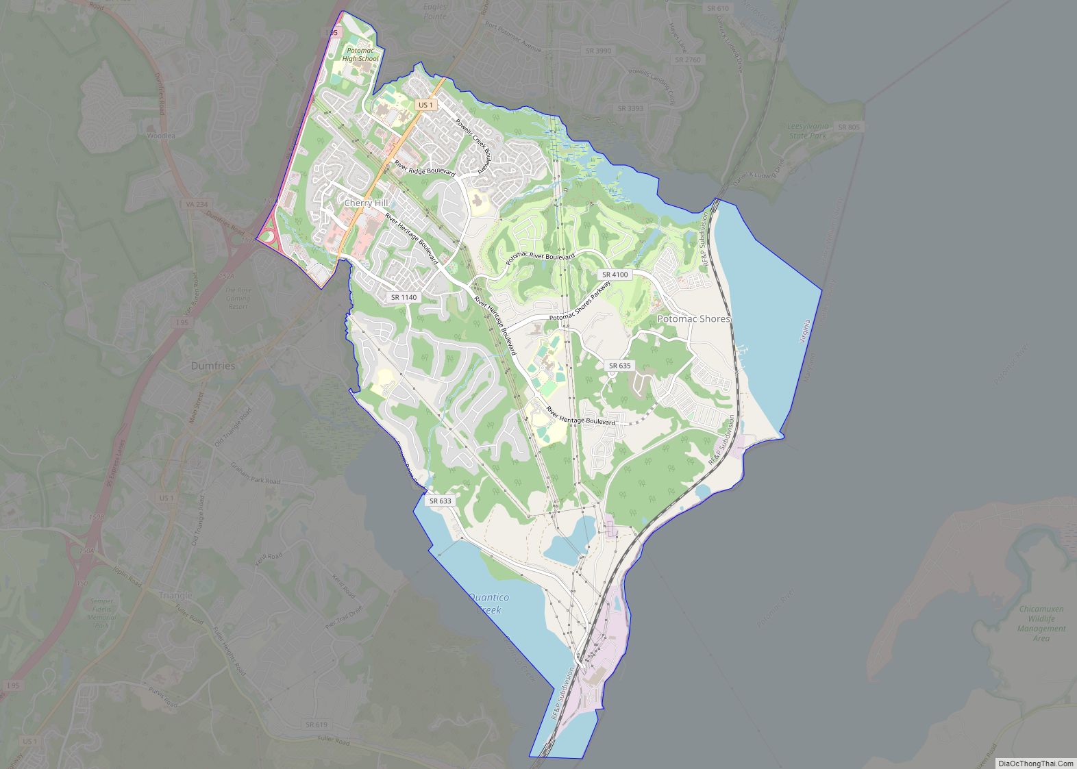
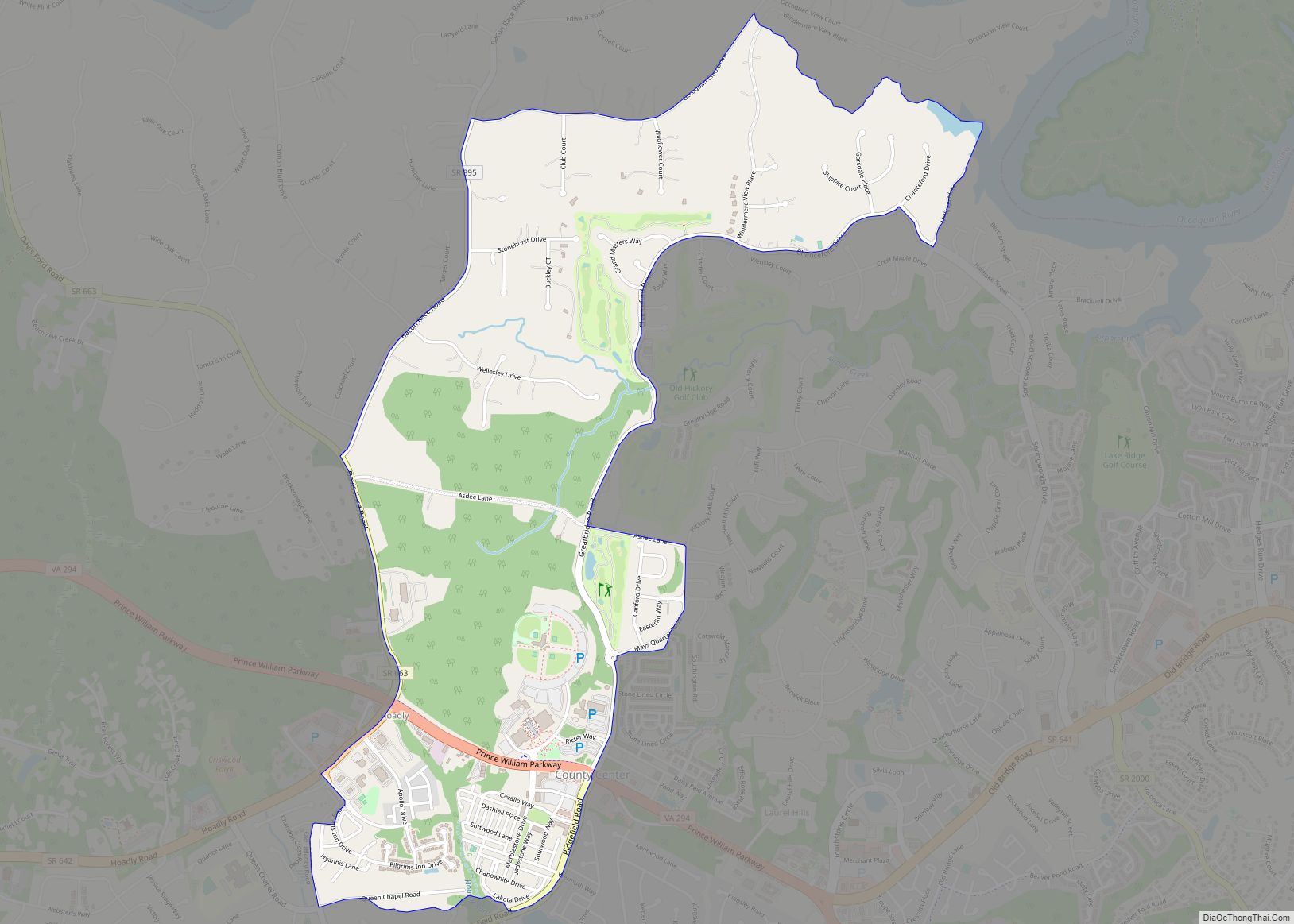
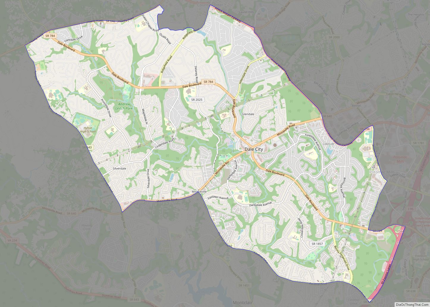
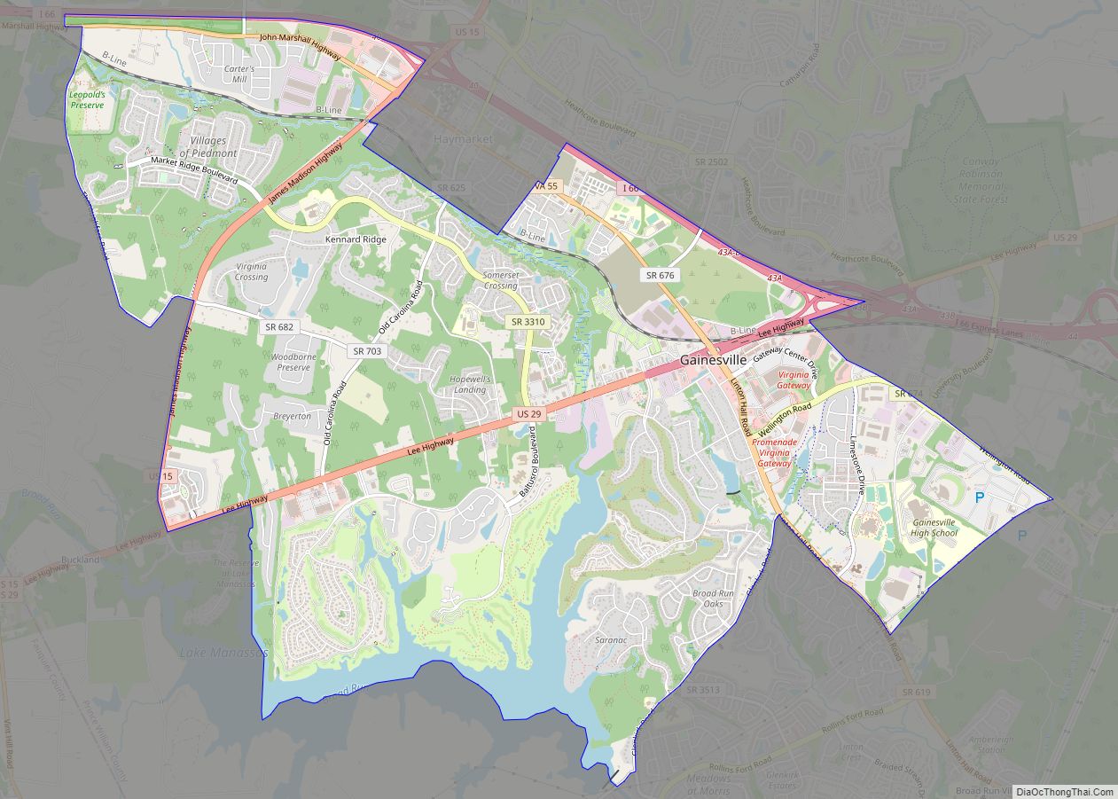
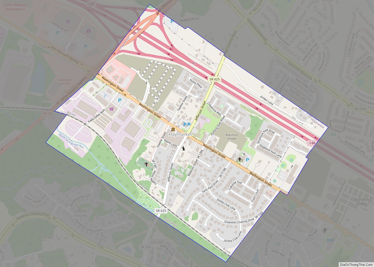
Online Interactive Map
Click on ![]() to view map in "full screen" mode.
to view map in "full screen" mode.
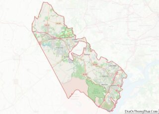
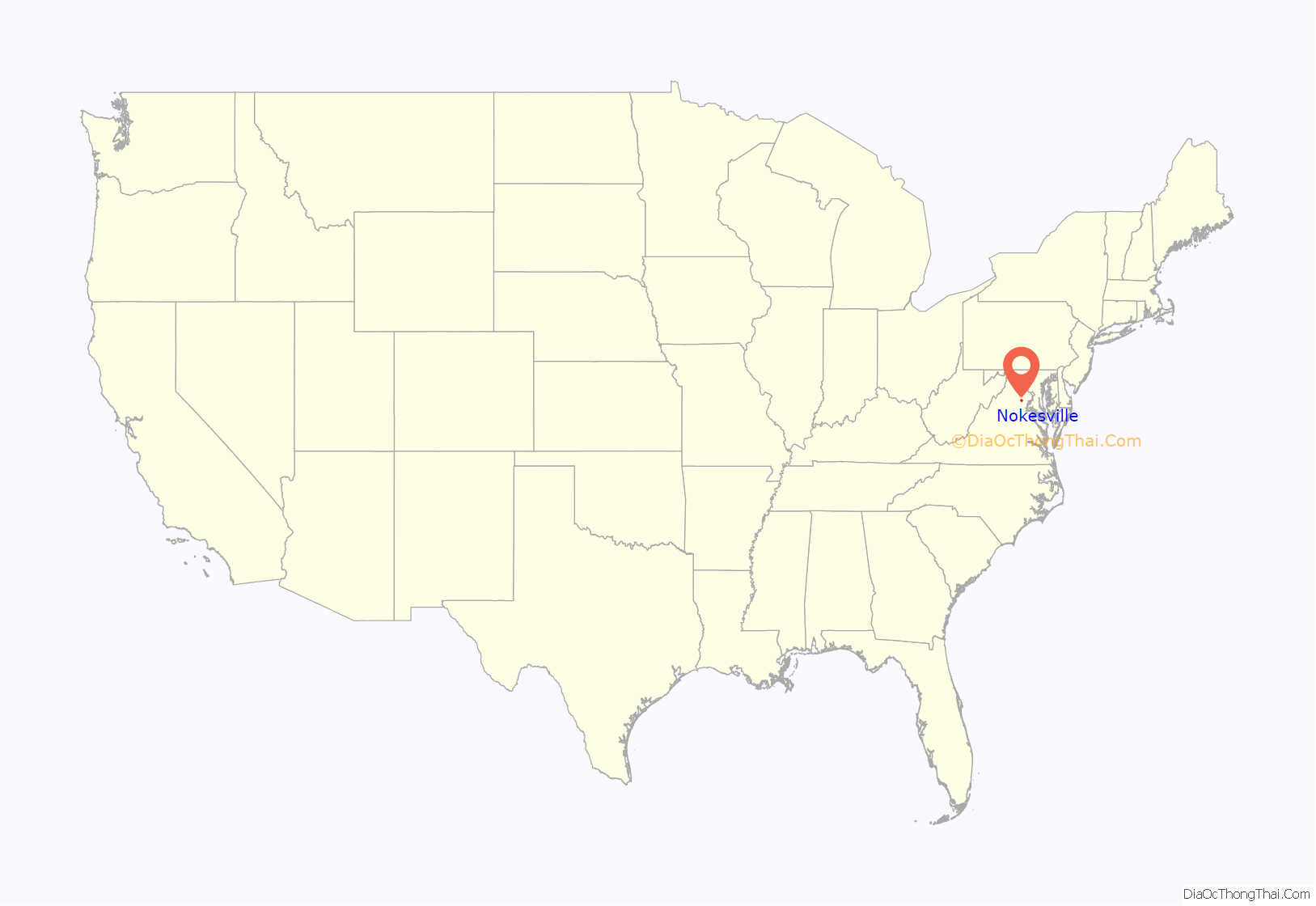
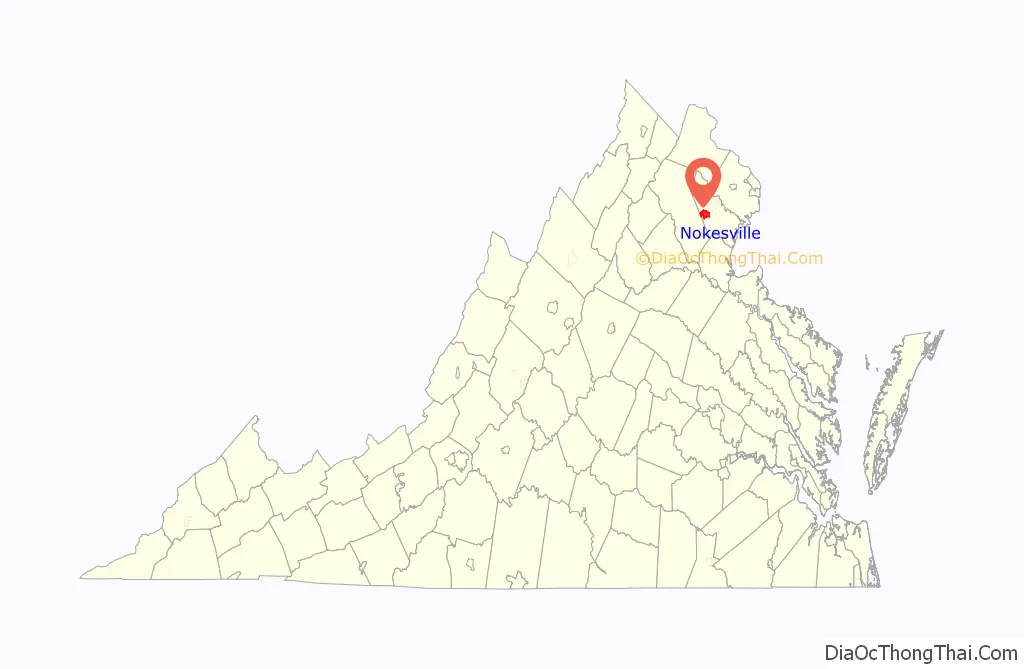
Nokesville location map. Where is Nokesville CDP?
History
Nokesville was the center of a farming community with cattle and dairy farms; it became a town and intermediate stop on the Orange & Alexandria Railway in 1865. In the late 19th century–early 20th century, Nokesville was the location of a religious movement called the German Baptist Brethren, which became known as the Church of the Brethren. In the 1950s, it was cut off from passenger trains and was a rural community today.
Nokesville is served by four schools in Prince William County. The oldest school, Nokesville Elementary was built in 1929 to serve all grades until 1964 when it was lowered to K-5 with the construction of Brentsville District High School. In 2014, Nokesville Elementary moved to a new building that was built next to Brentsville District High School on Aden Road. This new school is called The Nokesville School and serves a K-8 community. The old school was sold and is now a Montessori school. Patriot High School is located on Kettle Run Road, and was opened in 2011. Built concurrently, next door is T. Clay Wood Elementary School. The Nokesville postal delivery area consists of two schools in Fauquier. Kettle Run High School and Greenville Elementary are both new schools built on the Fauquier County side of Nokesville.
Marstellar Middle School is located nearby in Bristow, and middle school students formerly attended this middle school prior to the K–8 school opening.
The Lawn, Nokesville Truss Bridge, Brentsville Historic District, Park Gate, and Pilgrim’s Rest are listed on the National Register of Historic Places.
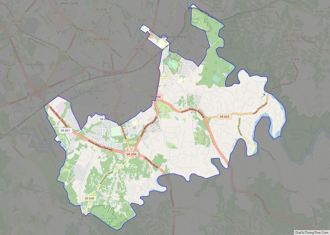
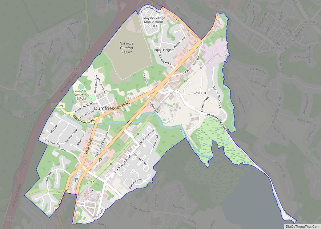
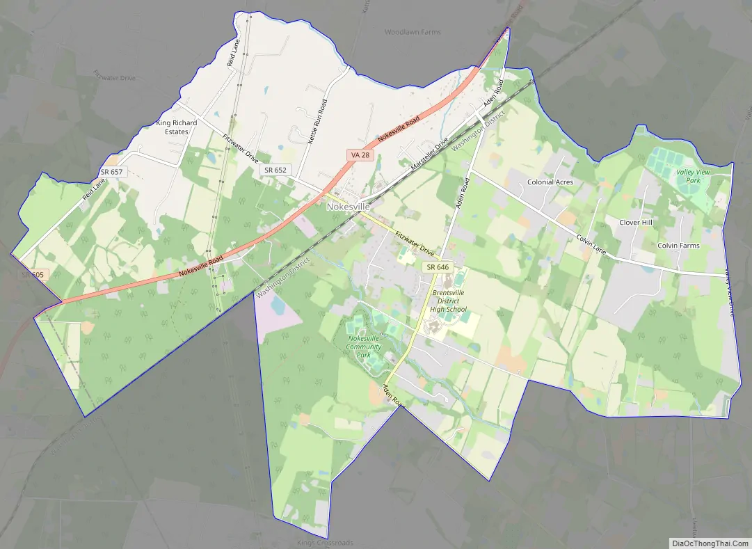
Nokesville Road Map
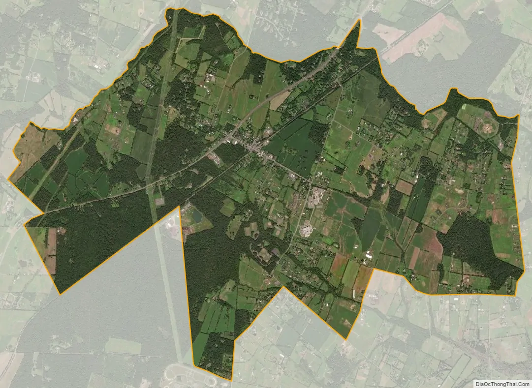
Nokesville city Satellite Map
Geography
Nokesville is located at 38°41′54″N 77°34′25″W / 38.69833°N 77.57361°W / 38.69833; -77.57361 (38.698350, −77.573656).
According to the United States Census Bureau, the CDP has a total area of 9.5 square miles (24.5 km), all of it land.
The Nokesville postal delivery area borders Bristow to the north, Catlett to the west, Independent Hill to the south and Canova to the east. Most of the area consists of subdivisions and former farms with the “Village” straddling Fitzwater Drive between Aden Road and Nokesville Road (SR 28), which consists of a U.S. Post Office, Nokesville Family Dentistry, Carini’s Pizza ( a hometown favorite), Herf Jones Rings, Nokesville Print & Copy, Nokesville Library, Nokesville Tires, Nokesville Veterinary, and many other small businesses. On the same street is the former Nokesville Elementary and several churches.
See also
Map of Virginia State and its subdivision:- Accomack
- Albemarle
- Alexandria
- Alleghany
- Amelia
- Amherst
- Appomattox
- Arlington
- Augusta
- Bath
- Bedford
- Bedford City
- Bland
- Botetourt
- Bristol
- Brunswick
- Buchanan
- Buckingham
- Buena Vista
- Campbell
- Caroline
- Carroll
- Charles City
- Charlotte
- Charlottesville
- Chesapeake
- Chesterfield
- Clarke
- Clifton Forge City
- Colonial Heights
- Covington
- Craig
- Culpeper
- Cumberland
- Danville
- Dickenson
- Dinwiddie
- Emporia
- Essex
- Fairfax
- Fairfax City
- Falls Church
- Fauquier
- Floyd
- Fluvanna
- Franklin
- Frederick
- Fredericksburg
- Galax
- Giles
- Gloucester
- Goochland
- Grayson
- Greene
- Greensville
- Halifax
- Hampton
- Hanover
- Harrisonburg
- Henrico
- Henry
- Highland
- Hopewell
- Isle of Wight
- James City
- King and Queen
- King George
- King William
- Lancaster
- Lee
- Lexington
- Loudoun
- Louisa
- Lunenburg
- Lynchburg
- Madison
- Manassas
- Manassas Park
- Martinsville
- Mathews
- Mecklenburg
- Middlesex
- Montgomery
- Nelson
- New Kent
- Newport News
- Norfolk
- Northampton
- Northumberland
- Norton
- Nottoway
- Orange
- Page
- Patrick
- Petersburg
- Pittsylvania
- Poquoson
- Portsmouth
- Powhatan
- Prince Edward
- Prince George
- Prince William
- Pulaski
- Radford
- Rappahannock
- Richmond
- Roanoke
- Roanoke City
- Rockbridge
- Rockingham
- Russell
- Salem
- Scott
- Shenandoah
- Smyth
- Southampton
- Spotsylvania
- Stafford
- Staunton
- Suffolk
- Surry
- Sussex
- Tazewell
- Virginia Beach
- Warren
- Washington
- Waynesboro
- Westmoreland
- Williamsburg
- Winchester
- Wise
- Wythe
- York
- Alabama
- Alaska
- Arizona
- Arkansas
- California
- Colorado
- Connecticut
- Delaware
- District of Columbia
- Florida
- Georgia
- Hawaii
- Idaho
- Illinois
- Indiana
- Iowa
- Kansas
- Kentucky
- Louisiana
- Maine
- Maryland
- Massachusetts
- Michigan
- Minnesota
- Mississippi
- Missouri
- Montana
- Nebraska
- Nevada
- New Hampshire
- New Jersey
- New Mexico
- New York
- North Carolina
- North Dakota
- Ohio
- Oklahoma
- Oregon
- Pennsylvania
- Rhode Island
- South Carolina
- South Dakota
- Tennessee
- Texas
- Utah
- Vermont
- Virginia
- Washington
- West Virginia
- Wisconsin
- Wyoming