Passapatanzy is an unincorporated community and census-designated place (CDP) in King George County, Virginia, United States. The population as of the 2010 census was 1,283.
| Name: | Passapatanzy CDP |
|---|---|
| LSAD Code: | 57 |
| LSAD Description: | CDP (suffix) |
| State: | Virginia |
| County: | King George County |
| Elevation: | 214 ft (65 m) |
| Total Area: | 2.04 sq mi (5.28 km²) |
| Land Area: | 2.03 sq mi (5.27 km²) |
| Water Area: | 0.004 sq mi (0.01 km²) |
| Total Population: | 1,283 |
| Population Density: | 630/sq mi (243.3/km²) |
| ZIP code: | 22485 (King George) |
| Area code: | 540 |
| FIPS code: | 5160888 |
| GNISfeature ID: | 1497075 |
Online Interactive Map
Click on ![]() to view map in "full screen" mode.
to view map in "full screen" mode.
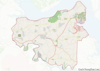
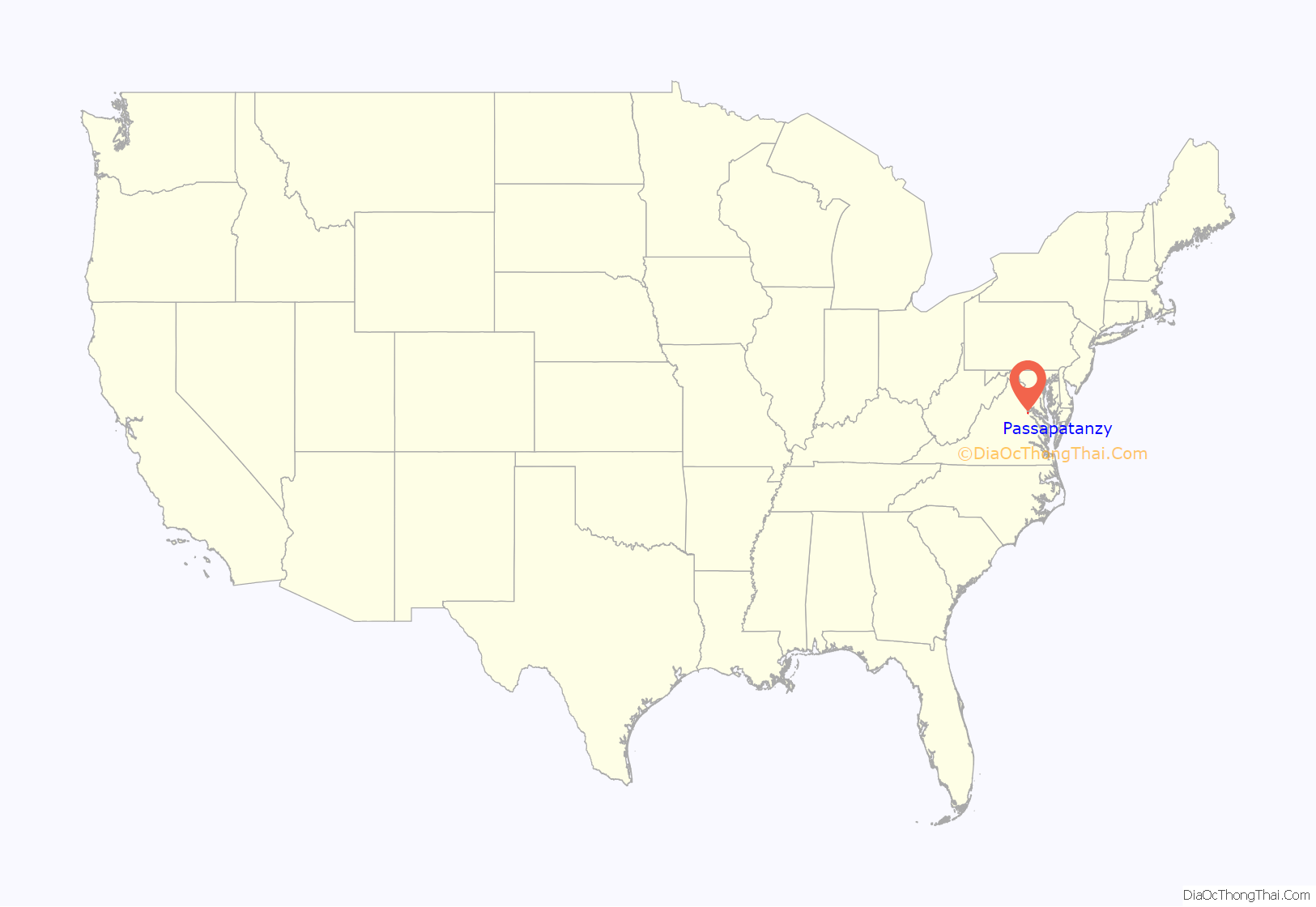
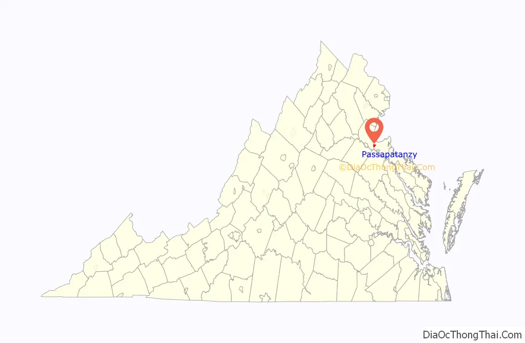
Passapatanzy location map. Where is Passapatanzy CDP?
History
It was recorded as a Patawomeck village ruled by Japazaws, elder brother of the weroance. He conspired with the English adventurer and sea captain, Samuel Argall, who planned to capture Chief Powhatan’s daughter, Pocahontas on April 13, 1613 to use as a hostage in English negotiations with Powhatan. They wanted captives and property returned.
According to Mattaponi and Patawomeck tradition, Pocahontas was residing there with her husband, Kocoum. Their daughter, Ka-Okee, survived, cared for by other Patawomeck people after Kocoum’s death. A historic marker about this incident stands near the Potomac Creek Bridge on U.S. Route 1 in Stafford.
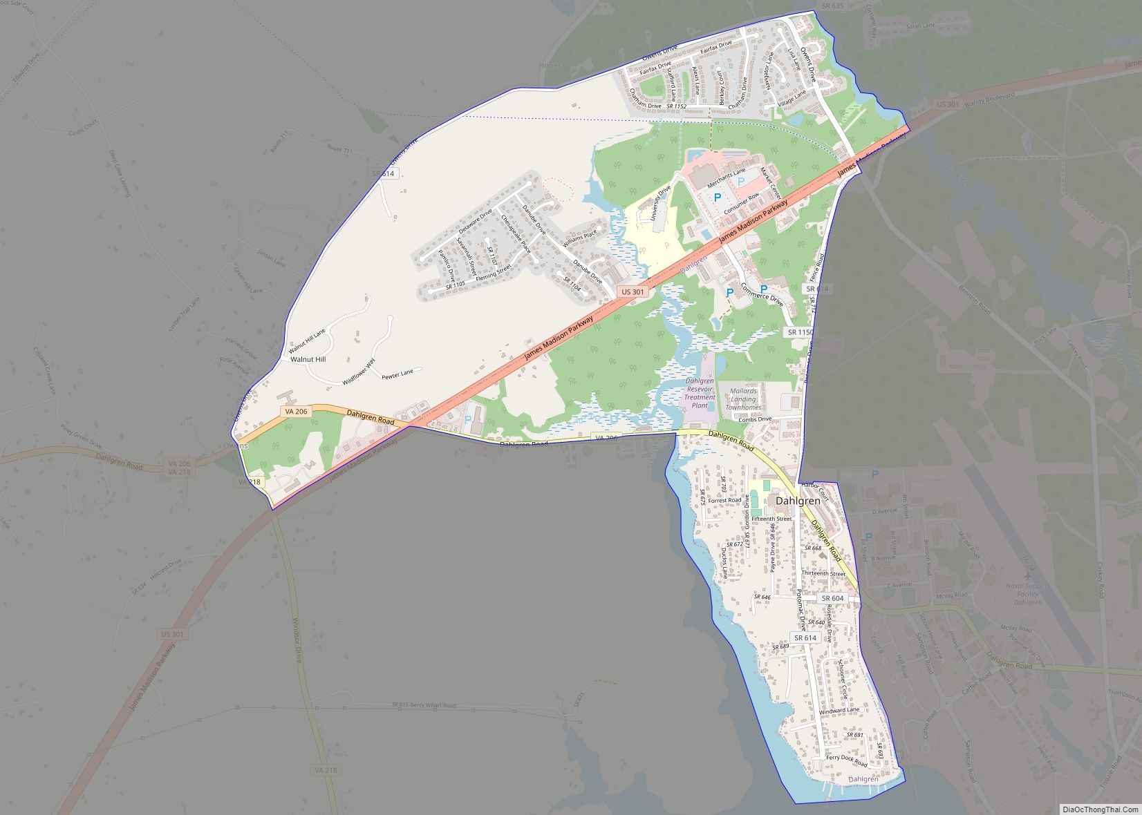
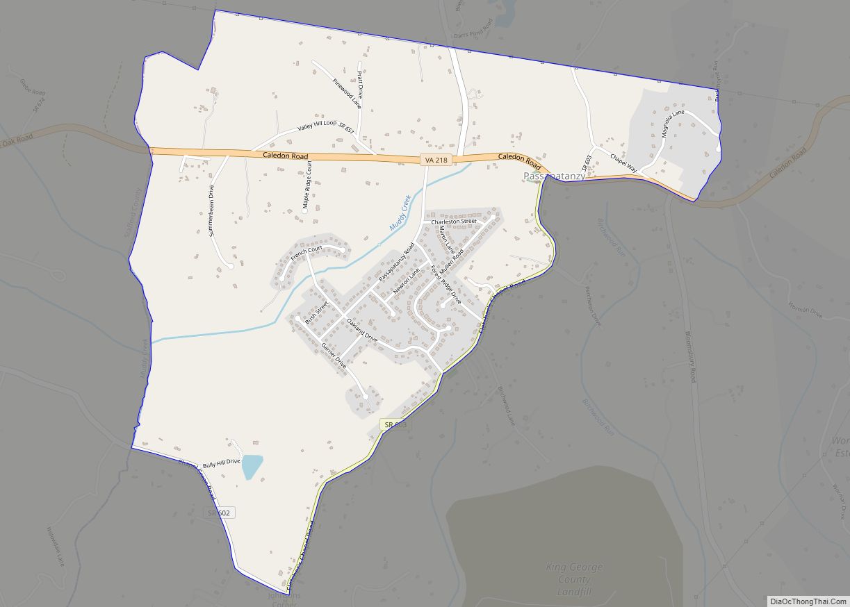
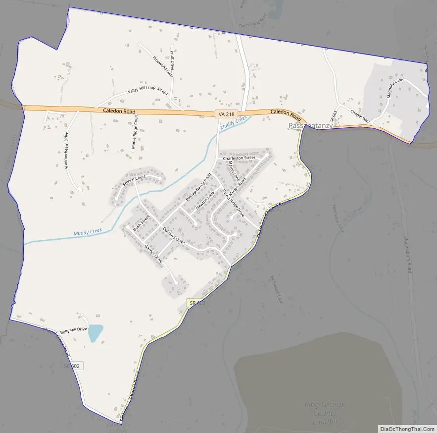
Passapatanzy Road Map
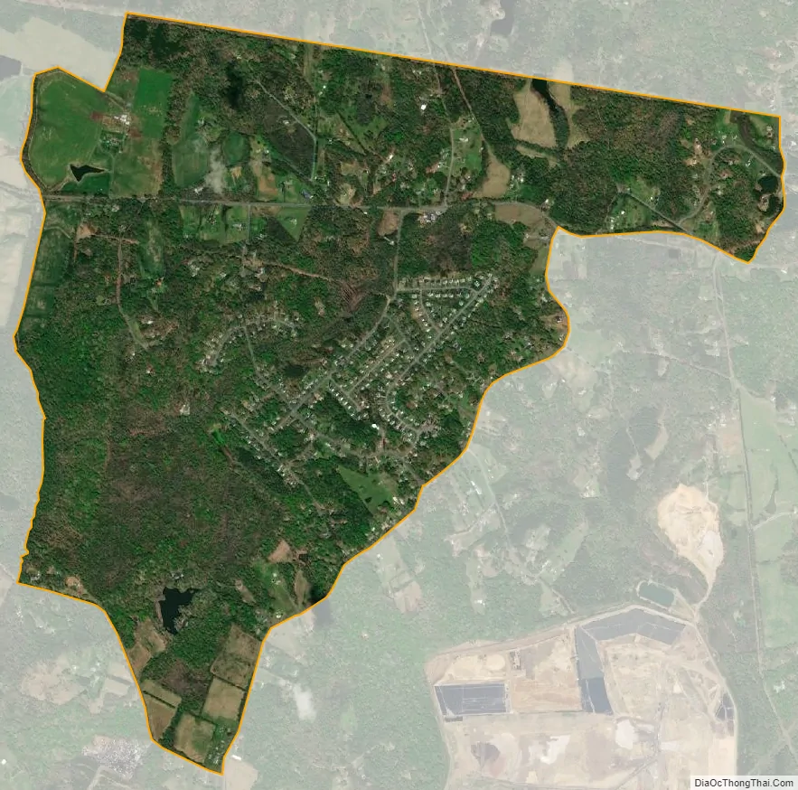
Passapatanzy city Satellite Map
Geography
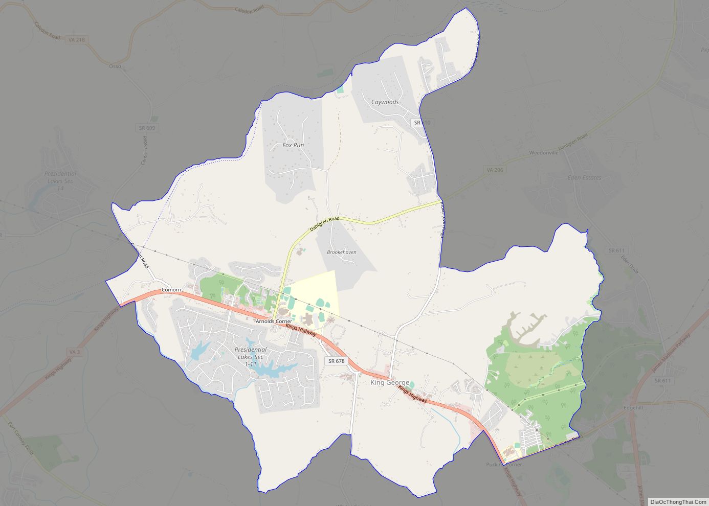
Passapatanzy is in western King George County, along Virginia State Route 218, which leads west 9 miles (14 km) to Fredericksburg and east 15 miles (24 km) to U.S. Route 301 at Dahlgren. King George, the county seat, is 10 miles (16 km) to the southeast.
According to the U.S. Census Bureau, the Passapatanzy CDP has a total area of 2.0 square miles (5.3 km), of which 0.004 square miles (0.01 km), or 0.20%, are water.
See also
Map of Virginia State and its subdivision:- Accomack
- Albemarle
- Alexandria
- Alleghany
- Amelia
- Amherst
- Appomattox
- Arlington
- Augusta
- Bath
- Bedford
- Bedford City
- Bland
- Botetourt
- Bristol
- Brunswick
- Buchanan
- Buckingham
- Buena Vista
- Campbell
- Caroline
- Carroll
- Charles City
- Charlotte
- Charlottesville
- Chesapeake
- Chesterfield
- Clarke
- Clifton Forge City
- Colonial Heights
- Covington
- Craig
- Culpeper
- Cumberland
- Danville
- Dickenson
- Dinwiddie
- Emporia
- Essex
- Fairfax
- Fairfax City
- Falls Church
- Fauquier
- Floyd
- Fluvanna
- Franklin
- Frederick
- Fredericksburg
- Galax
- Giles
- Gloucester
- Goochland
- Grayson
- Greene
- Greensville
- Halifax
- Hampton
- Hanover
- Harrisonburg
- Henrico
- Henry
- Highland
- Hopewell
- Isle of Wight
- James City
- King and Queen
- King George
- King William
- Lancaster
- Lee
- Lexington
- Loudoun
- Louisa
- Lunenburg
- Lynchburg
- Madison
- Manassas
- Manassas Park
- Martinsville
- Mathews
- Mecklenburg
- Middlesex
- Montgomery
- Nelson
- New Kent
- Newport News
- Norfolk
- Northampton
- Northumberland
- Norton
- Nottoway
- Orange
- Page
- Patrick
- Petersburg
- Pittsylvania
- Poquoson
- Portsmouth
- Powhatan
- Prince Edward
- Prince George
- Prince William
- Pulaski
- Radford
- Rappahannock
- Richmond
- Roanoke
- Roanoke City
- Rockbridge
- Rockingham
- Russell
- Salem
- Scott
- Shenandoah
- Smyth
- Southampton
- Spotsylvania
- Stafford
- Staunton
- Suffolk
- Surry
- Sussex
- Tazewell
- Virginia Beach
- Warren
- Washington
- Waynesboro
- Westmoreland
- Williamsburg
- Winchester
- Wise
- Wythe
- York
- Alabama
- Alaska
- Arizona
- Arkansas
- California
- Colorado
- Connecticut
- Delaware
- District of Columbia
- Florida
- Georgia
- Hawaii
- Idaho
- Illinois
- Indiana
- Iowa
- Kansas
- Kentucky
- Louisiana
- Maine
- Maryland
- Massachusetts
- Michigan
- Minnesota
- Mississippi
- Missouri
- Montana
- Nebraska
- Nevada
- New Hampshire
- New Jersey
- New Mexico
- New York
- North Carolina
- North Dakota
- Ohio
- Oklahoma
- Oregon
- Pennsylvania
- Rhode Island
- South Carolina
- South Dakota
- Tennessee
- Texas
- Utah
- Vermont
- Virginia
- Washington
- West Virginia
- Wisconsin
- Wyoming