Patrick Springs is a census-designated place (CDP) in Patrick County, Virginia, United States. The population was 1,845 at the 2010 census.
| Name: | Patrick Springs CDP |
|---|---|
| LSAD Code: | 57 |
| LSAD Description: | CDP (suffix) |
| State: | Virginia |
| County: | Patrick County |
| Elevation: | 1,250 ft (381 m) |
| Total Area: | 15.7 sq mi (40.6 km²) |
| Land Area: | 15.7 sq mi (40.6 km²) |
| Water Area: | 0.0 sq mi (0.0 km²) |
| Total Population: | 1,845 |
| Population Density: | 120/sq mi (45/km²) |
| ZIP code: | 24133 |
| Area code: | 276 |
| FIPS code: | 5160984 |
| GNISfeature ID: | 1497076 |
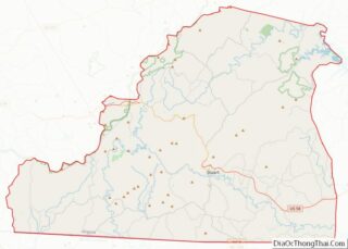
Online Interactive Map
Click on ![]() to view map in "full screen" mode.
to view map in "full screen" mode.
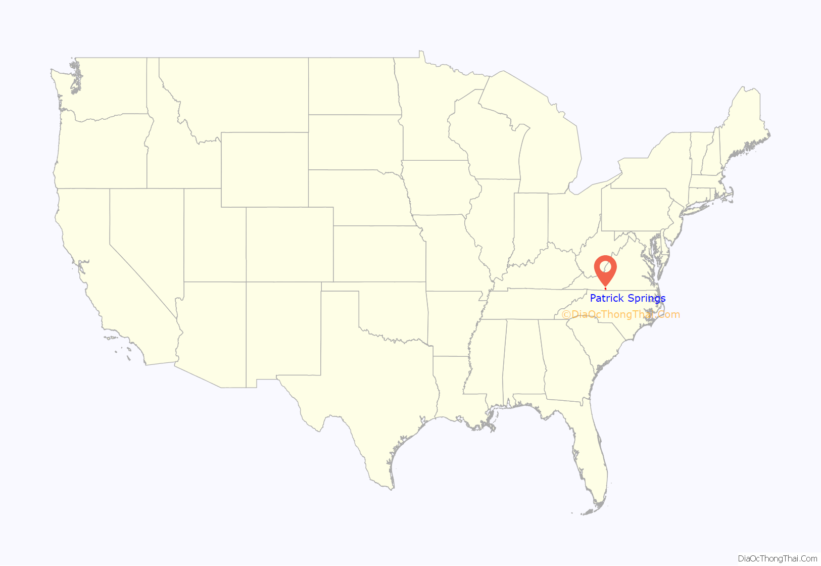
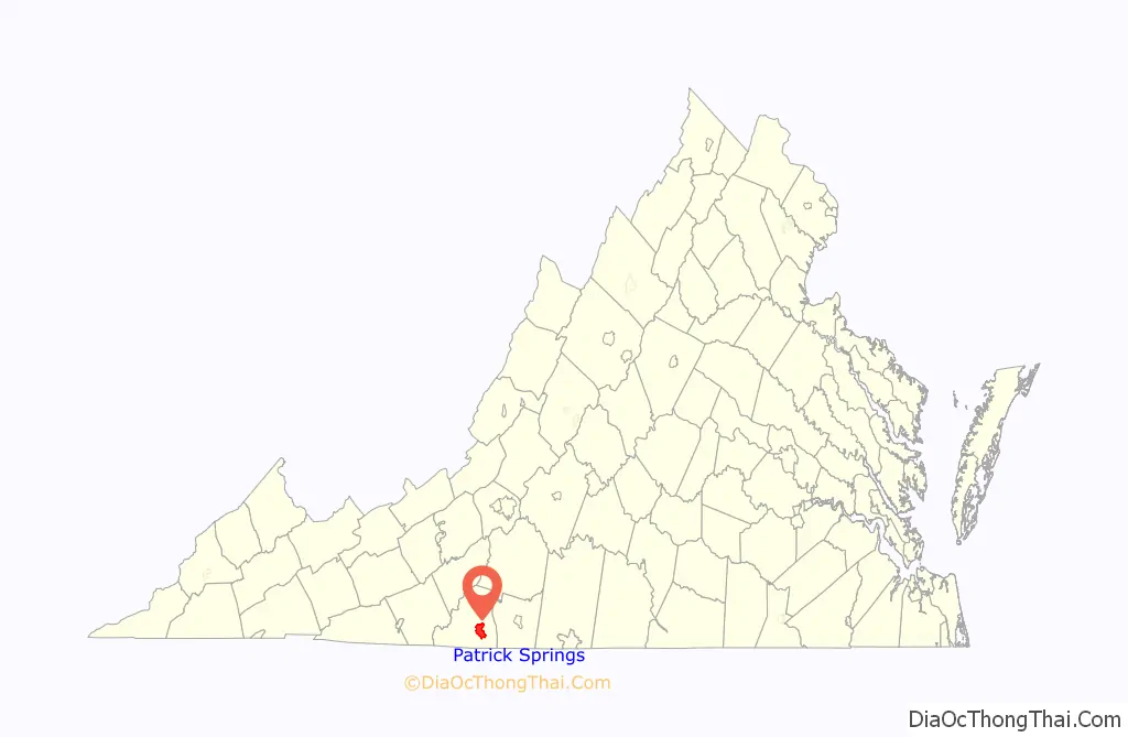
Patrick Springs location map. Where is Patrick Springs CDP?
History
In 1857, the area’s first post office was operated as Spabrook Station in the vicinity of the old Patrick Springs hotel and mineral resort. Spabrooke Station was named Patrick Springs post office in 1859. A second post office was operated on Route 680 just north of old Route 58 and was called Shuff post office.
Shuff was the phonetic spelling of “Shough”, the surname of Reverend Jacob Shough, a highly respected Methodist circuit rider and one of the early founders of the Patrick Springs area. In 1894, the residents named the community and post office “Shuff” in his honor. Reverend Shough ran a store and post office combination as well as building the old Shough grist mill, one of the community’s oldest landmarks. The old Shough mill was operated by four generations of the Shough family, before it stopping operating in 1918.
The Patrick Springs post office was discontinued in 1875, then re-opened in 1907. During the 32 years the Patrick Springs was closed, Shuff Post Office handled all the mail for the area. Passengers of the Danville and Western Railway “Dick & Willie” would pass by the Shuff depot and post office on their way to the old Patrick Springs hotel and mineral resort. Having two sets of local addresses caused confusion, and in 1925, legislative steps were taken to give the whole area, post office, and train depot the name “Patrick Springs”.
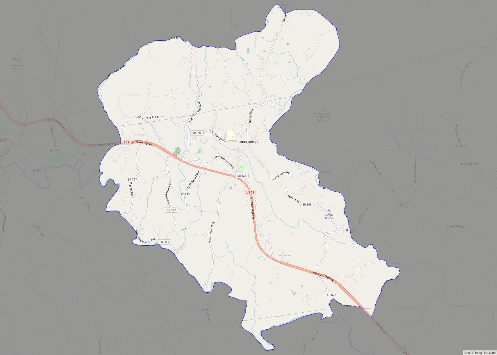
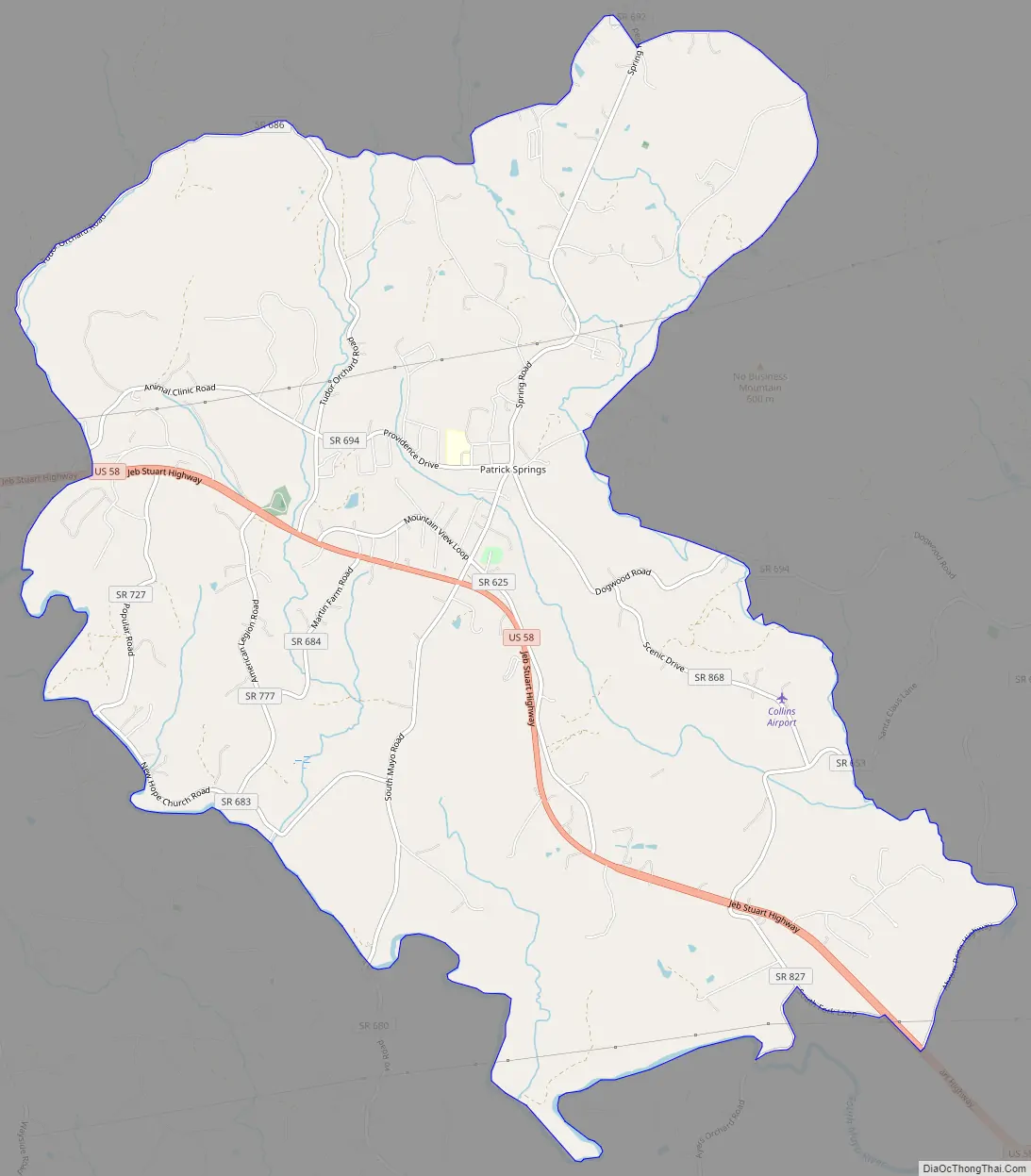
Patrick Springs Road Map
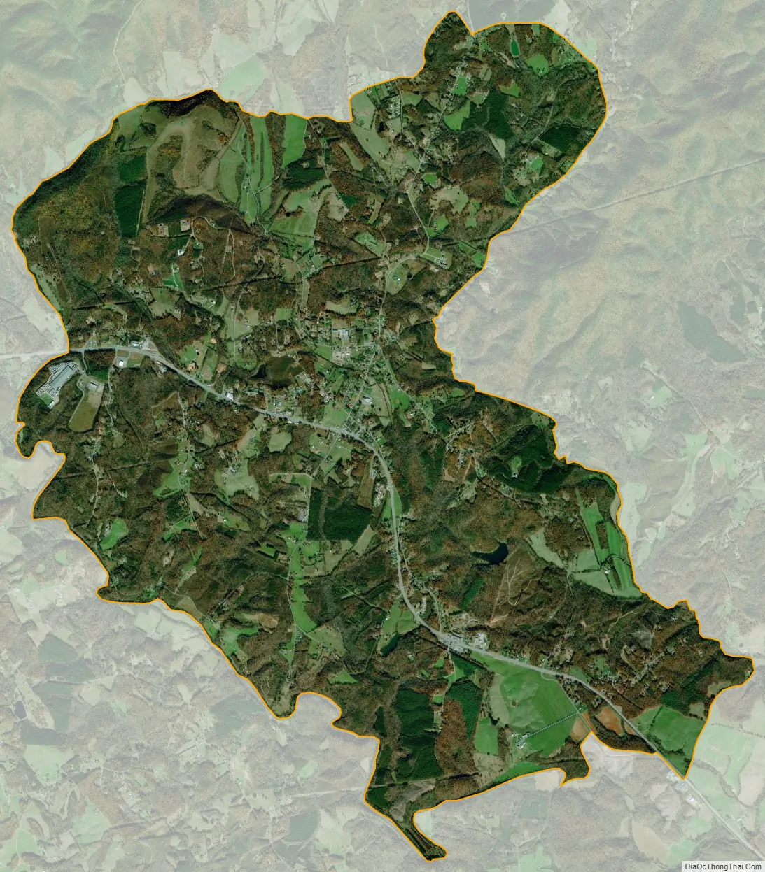
Patrick Springs city Satellite Map
Geography
Patrick Springs is located at 36°38′10″N 80°12′13″W / 36.63611°N 80.20361°W / 36.63611; -80.20361 (36.636201, −80.203654).
According to the United States Census Bureau, the CDP has a total area of 15.7 square miles (40.6 km), all of it land.
See also
Map of Virginia State and its subdivision:- Accomack
- Albemarle
- Alexandria
- Alleghany
- Amelia
- Amherst
- Appomattox
- Arlington
- Augusta
- Bath
- Bedford
- Bedford City
- Bland
- Botetourt
- Bristol
- Brunswick
- Buchanan
- Buckingham
- Buena Vista
- Campbell
- Caroline
- Carroll
- Charles City
- Charlotte
- Charlottesville
- Chesapeake
- Chesterfield
- Clarke
- Clifton Forge City
- Colonial Heights
- Covington
- Craig
- Culpeper
- Cumberland
- Danville
- Dickenson
- Dinwiddie
- Emporia
- Essex
- Fairfax
- Fairfax City
- Falls Church
- Fauquier
- Floyd
- Fluvanna
- Franklin
- Frederick
- Fredericksburg
- Galax
- Giles
- Gloucester
- Goochland
- Grayson
- Greene
- Greensville
- Halifax
- Hampton
- Hanover
- Harrisonburg
- Henrico
- Henry
- Highland
- Hopewell
- Isle of Wight
- James City
- King and Queen
- King George
- King William
- Lancaster
- Lee
- Lexington
- Loudoun
- Louisa
- Lunenburg
- Lynchburg
- Madison
- Manassas
- Manassas Park
- Martinsville
- Mathews
- Mecklenburg
- Middlesex
- Montgomery
- Nelson
- New Kent
- Newport News
- Norfolk
- Northampton
- Northumberland
- Norton
- Nottoway
- Orange
- Page
- Patrick
- Petersburg
- Pittsylvania
- Poquoson
- Portsmouth
- Powhatan
- Prince Edward
- Prince George
- Prince William
- Pulaski
- Radford
- Rappahannock
- Richmond
- Roanoke
- Roanoke City
- Rockbridge
- Rockingham
- Russell
- Salem
- Scott
- Shenandoah
- Smyth
- Southampton
- Spotsylvania
- Stafford
- Staunton
- Suffolk
- Surry
- Sussex
- Tazewell
- Virginia Beach
- Warren
- Washington
- Waynesboro
- Westmoreland
- Williamsburg
- Winchester
- Wise
- Wythe
- York
- Alabama
- Alaska
- Arizona
- Arkansas
- California
- Colorado
- Connecticut
- Delaware
- District of Columbia
- Florida
- Georgia
- Hawaii
- Idaho
- Illinois
- Indiana
- Iowa
- Kansas
- Kentucky
- Louisiana
- Maine
- Maryland
- Massachusetts
- Michigan
- Minnesota
- Mississippi
- Missouri
- Montana
- Nebraska
- Nevada
- New Hampshire
- New Jersey
- New Mexico
- New York
- North Carolina
- North Dakota
- Ohio
- Oklahoma
- Oregon
- Pennsylvania
- Rhode Island
- South Carolina
- South Dakota
- Tennessee
- Texas
- Utah
- Vermont
- Virginia
- Washington
- West Virginia
- Wisconsin
- Wyoming