Ravensworth is a census-designated place in Fairfax County, Virginia, United States. Its name reflects Ravensworth plantation, farmed since the 18th century and manor house which burned under mysterious circumstances on August 1, 1926. The Ravensworth Farm subdivision was developed in the early 1960s. The 2010 census lists the area’s population as 2,466. It is part of the Washington metropolitan area.
| Name: | Ravensworth CDP |
|---|---|
| LSAD Code: | 57 |
| LSAD Description: | CDP (suffix) |
| State: | Virginia |
| County: | Fairfax County |
| Elevation: | 265 ft (81 m) |
| Total Area: | 0.98 sq mi (2.54 km²) |
| Land Area: | 0.88 sq mi (2.29 km²) |
| Water Area: | 0.10 sq mi (0.26 km²) |
| Total Population: | 2,466 |
| Population Density: | 2,790/sq mi (1,077.1/km²) |
| ZIP code: | 22151 |
| FIPS code: | 5165776 |
| GNISfeature ID: | 2584907 |
Online Interactive Map
Click on ![]() to view map in "full screen" mode.
to view map in "full screen" mode.
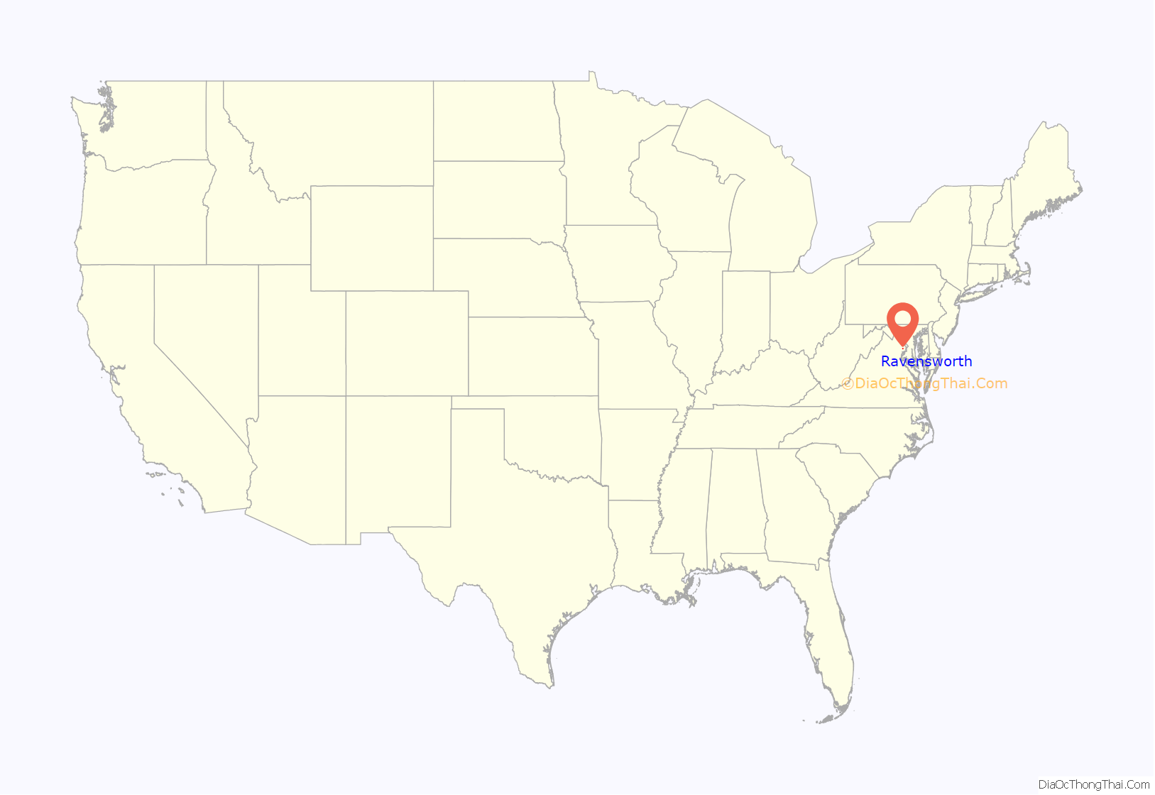
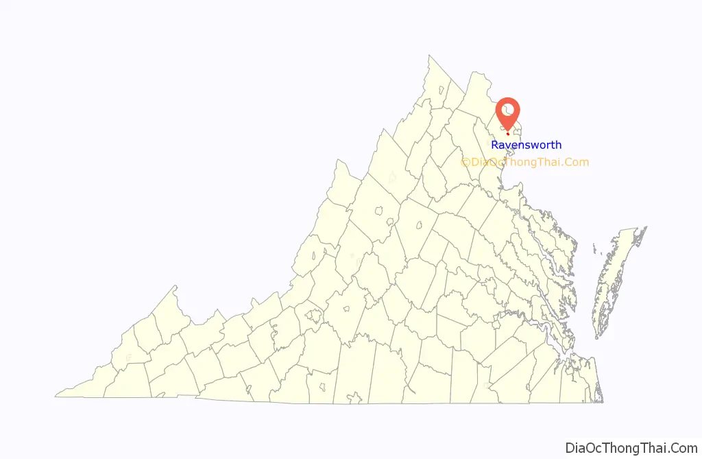
Ravensworth location map. Where is Ravensworth CDP?
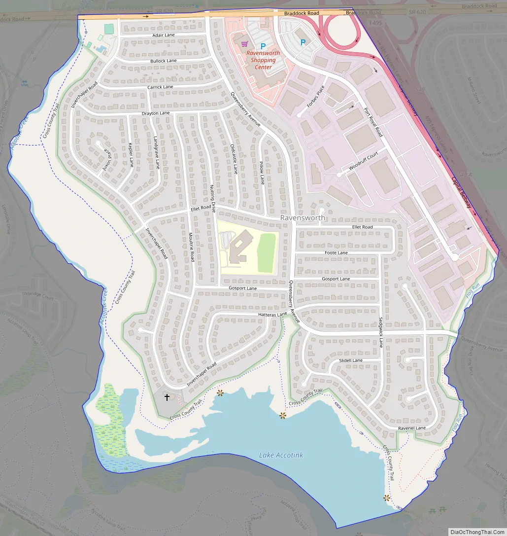
Ravensworth Road Map
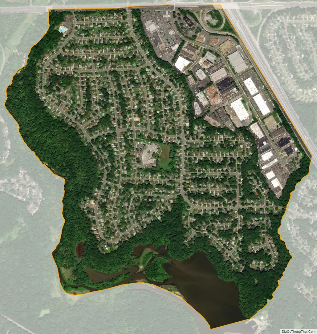
Ravensworth city Satellite Map
Geography
Ravensworth is in eastern Fairfax County, bordered by the Capital Beltway to the northeast, Braddock Road to the north, Accotink Creek to the west, Lake Accotink to the south, and Flag Run to the southeast. Neighboring communities are Wakefield to the north, North Springfield to the east, and Kings Park to the south and west. Downtown Washington, D.C. is 14 miles (23 km) to the northeast. The CDP border follows Accotink Creek to the west, Braddock Road to the north, Interstate 495 to the east, and Flag Run to the southeast.
According to the U.S. Census Bureau, the Ravensworth CDP has a total area of 0.98 square miles (2.54 km), of which 0.88 square miles (2.29 km) is land and 0.10 square miles (0.26 km), or 10.02%, is water.
The Ravensworth Farm community has a neighborhood pool and a civic association, and is home to the notorious Golden Ravens. The Ravensworth Shopping Center has stores including 7-Eleven, The Swiss Bakery, Lotte Plaza Market (which replaced Safeway), and Jersey Mike’s Subs. Ravensworth Elementary School is located in the middle of the neighborhood. It has a 7/10 rating on Great Schools.
See also
Map of Virginia State and its subdivision:- Accomack
- Albemarle
- Alexandria
- Alleghany
- Amelia
- Amherst
- Appomattox
- Arlington
- Augusta
- Bath
- Bedford
- Bedford City
- Bland
- Botetourt
- Bristol
- Brunswick
- Buchanan
- Buckingham
- Buena Vista
- Campbell
- Caroline
- Carroll
- Charles City
- Charlotte
- Charlottesville
- Chesapeake
- Chesterfield
- Clarke
- Clifton Forge City
- Colonial Heights
- Covington
- Craig
- Culpeper
- Cumberland
- Danville
- Dickenson
- Dinwiddie
- Emporia
- Essex
- Fairfax
- Fairfax City
- Falls Church
- Fauquier
- Floyd
- Fluvanna
- Franklin
- Frederick
- Fredericksburg
- Galax
- Giles
- Gloucester
- Goochland
- Grayson
- Greene
- Greensville
- Halifax
- Hampton
- Hanover
- Harrisonburg
- Henrico
- Henry
- Highland
- Hopewell
- Isle of Wight
- James City
- King and Queen
- King George
- King William
- Lancaster
- Lee
- Lexington
- Loudoun
- Louisa
- Lunenburg
- Lynchburg
- Madison
- Manassas
- Manassas Park
- Martinsville
- Mathews
- Mecklenburg
- Middlesex
- Montgomery
- Nelson
- New Kent
- Newport News
- Norfolk
- Northampton
- Northumberland
- Norton
- Nottoway
- Orange
- Page
- Patrick
- Petersburg
- Pittsylvania
- Poquoson
- Portsmouth
- Powhatan
- Prince Edward
- Prince George
- Prince William
- Pulaski
- Radford
- Rappahannock
- Richmond
- Roanoke
- Roanoke City
- Rockbridge
- Rockingham
- Russell
- Salem
- Scott
- Shenandoah
- Smyth
- Southampton
- Spotsylvania
- Stafford
- Staunton
- Suffolk
- Surry
- Sussex
- Tazewell
- Virginia Beach
- Warren
- Washington
- Waynesboro
- Westmoreland
- Williamsburg
- Winchester
- Wise
- Wythe
- York
- Alabama
- Alaska
- Arizona
- Arkansas
- California
- Colorado
- Connecticut
- Delaware
- District of Columbia
- Florida
- Georgia
- Hawaii
- Idaho
- Illinois
- Indiana
- Iowa
- Kansas
- Kentucky
- Louisiana
- Maine
- Maryland
- Massachusetts
- Michigan
- Minnesota
- Mississippi
- Missouri
- Montana
- Nebraska
- Nevada
- New Hampshire
- New Jersey
- New Mexico
- New York
- North Carolina
- North Dakota
- Ohio
- Oklahoma
- Oregon
- Pennsylvania
- Rhode Island
- South Carolina
- South Dakota
- Tennessee
- Texas
- Utah
- Vermont
- Virginia
- Washington
- West Virginia
- Wisconsin
- Wyoming


